

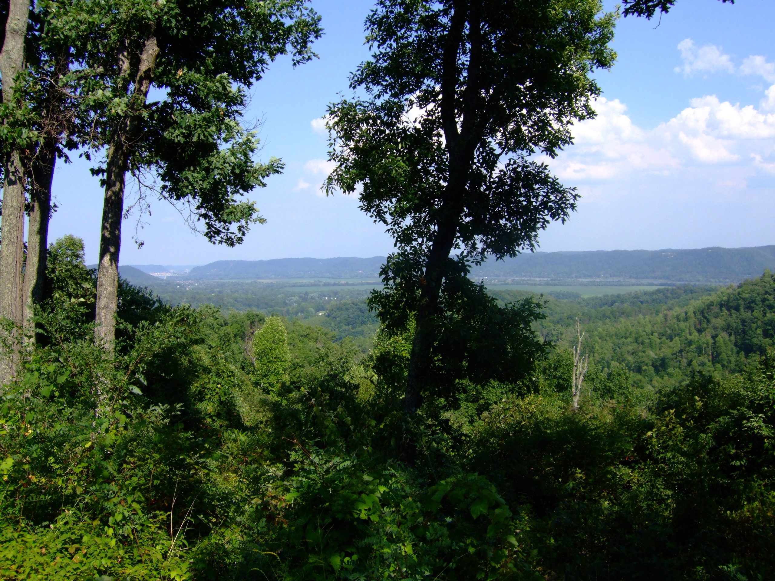
Shawnee State Forest
Fast facts
- Established: 1922
- Size: more than 60,000 acres (243 km²), Ohio’s largest state forest
- Wilderness: nearly 8,000 acres (32 km²) with no timber management or motor vehicles
- Trail: the Shawnee Backpack Trail, a system of loops with backpack camps
- Gateway: Portsmouth
- Managed by: Ohio Department of Natural Resources, Division of Forestry
The landscape
Shawnee covers steep, forested ridges and hollows in southern Ohio near the Ohio River, rugged enough to earn the name the Little Smokies. Mixed hardwoods cover the hills, and the forest holds rare plants and wildlife, including timber rattlesnakes, wild turkeys and black bears returning to the region. It is a working forest outside the wilderness area.
Best time to go
Spring wildflowers and fall colour make those the best seasons. Summer is hot and humid with more insects. Winter is quiet and good for backpacking between hunting seasons.
Getting there and around
State Route 125 crosses the forest west of Portsmouth, with forest roads leading to trailheads. The backpack trail starts from a trailhead with registration, and loops through the forest and the wilderness area.
Things to do
The Shawnee Backpack Trail is Ohio’s premier backpacking route, with north and south loops and designated camps, plus day hikes on shorter trails. Nearby Shawnee State Park adds a lake and lodge.
Staying safe
The trail is steep and demanding, with constant climbs. Carry plenty of water, since sources are limited. Check for ticks, watch for venomous snakes and wear blaze orange in hunting season. Follow posted reroutes around timber work. Leave a trip plan.
Know before you go
This page is a general overview, not a live conditions report, so confirm trail reroutes and conditions with the Ohio DNR before you go.
- Coordinates
- 38.7312, -83.2024
- Magnetic declination
- 6.9° W (2026)
Set this declination on your compass, then align it to the map's north lines; it is the angle between true north and magnetic north, refreshed each year.
How declination works, and how to navigate with a map and compass
A spread of the park’s main places shows straight away, and the rest appear as you zoom in. You can also search above, or pick any place from the lists below, and the map will go to it. Places in bold, marked , have a short description.
On the trail 9
Route
Campgrounds
Sights 9
Lakes
Peaks
Map data comes from third-party sources and may be incomplete or out of date, so carry a current official map (terms).
Looking for one of these closer to home?Destinations near me by trip type →
- Best seasons
- Spring, Fall (foliage), Winter
- Difficulty
- Moderate to strenuous
- Access / trailheads
- State Route 125 west of Portsmouth, in Scioto and Adams counties in southern Ohio.
- Water
- Limited; some camps have springs or water sources. Carry plenty and treat all water.
- Cell / satellite coverage
- Patchy in the hollows.
- Nearest ranger / SAR / emergency
- Emergencies: 911.
- Permits & regulations
- Backpackers register at the trailhead. Camping is allowed only at designated backpack camps.
- Leave No Trace
- Camp only at the designated backpack camps, wear blaze orange in hunting season, and pack out all waste.
January
- Below-freezing nights
February
- Below-freezing nights
March
- Below-freezing nights
April
May
June
July
August
September
October This month
November
December
- Below-freezing nights
What to bring depends on your trip: how long you’re out, where you sleep, and how far you go from the road. The planner builds the list for yours.
Plan a trip here →Averages for 1991–2020 from NOAA U.S. Climate Normals, measured at the Lucasville station, 15 miles (25 km)25 km (15 miles) away at 568 feet (173 m)173 m (568 feet). Rain and snow from the West Union station, 15 miles (24 km)24 km (15 miles) away at 738 feet (225 m)225 m (738 feet). Higher trails run colder, by about 3.5°F for every 1,000 ft (2°C per 300 m)2°C for every 300 m (3.5°F per 1,000 ft) of climb. Daylight runs from sunrise to sunset on the 15th, on the park’s own clock, for a level horizon. Valleys and slopes facing away from the sun are in shade earlier.
Nearby parks
-
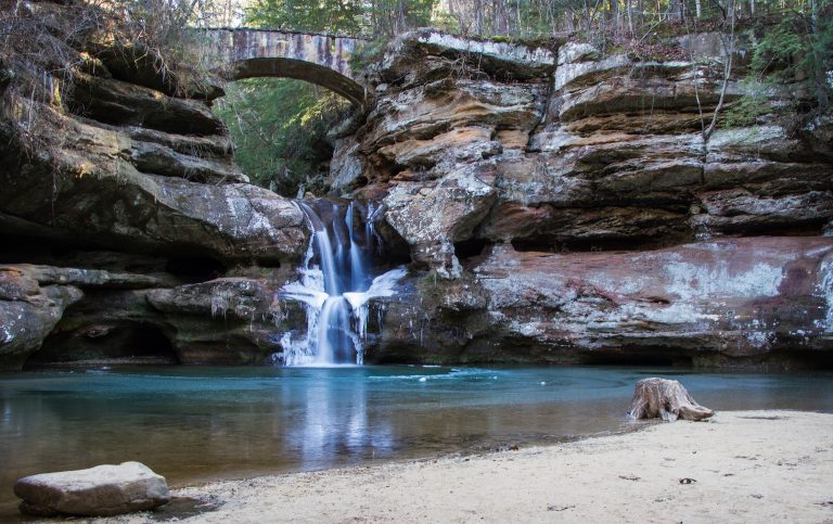 Hocking Hills State Park
Sandstone gorges, recess caves and waterfalls under hemlocks in southeast Ohio, on short trails that draw millions of visitors a year.
-
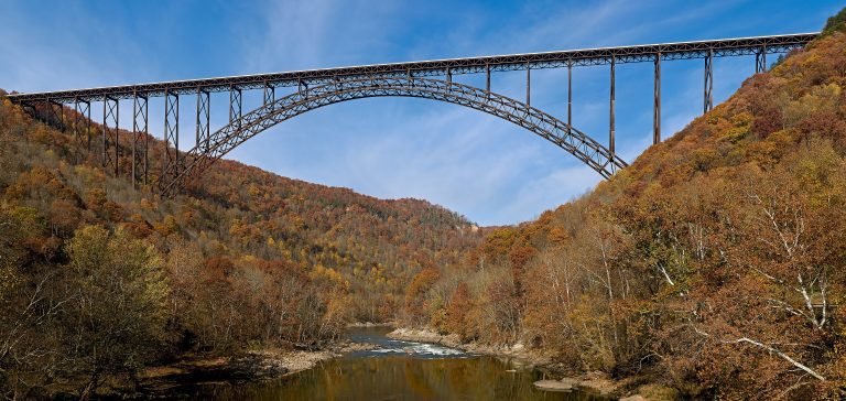 New River Gorge National Park
A deep river gorge in West Virginia with big whitewater, thousands of sandstone climbing routes and the New River Gorge Bridge.
-
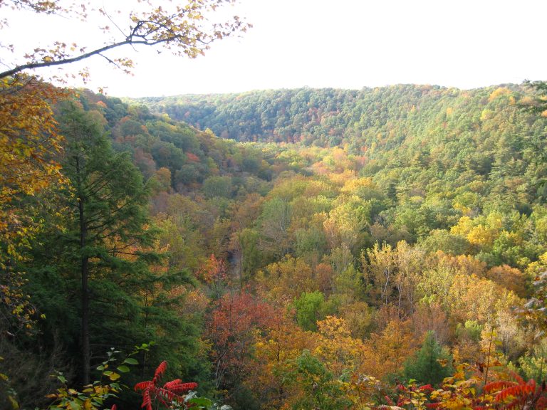 Mohican State Park
A hemlock gorge on the Clear Fork of the Mohican River, with waterfalls, a covered bridge, overlooks and Ohio's best-known mountain bike trail.
-
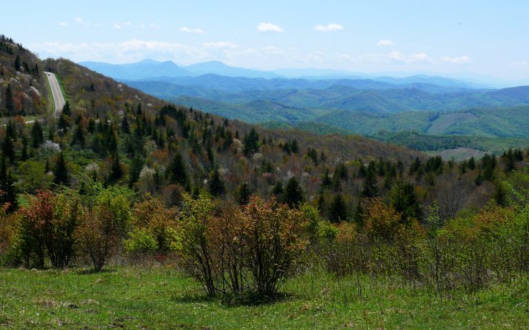 Grayson Highlands State Park
Wild ponies on open balds above 5,000 feet (1,520 m), next to Mount Rogers, Virginia's highest peak, on the AT.
Straight-line distance between park centres. Road distance is usually longer.
Looking for somewhere closer to home?
See every park and monument within a day’s drive of where you are.