

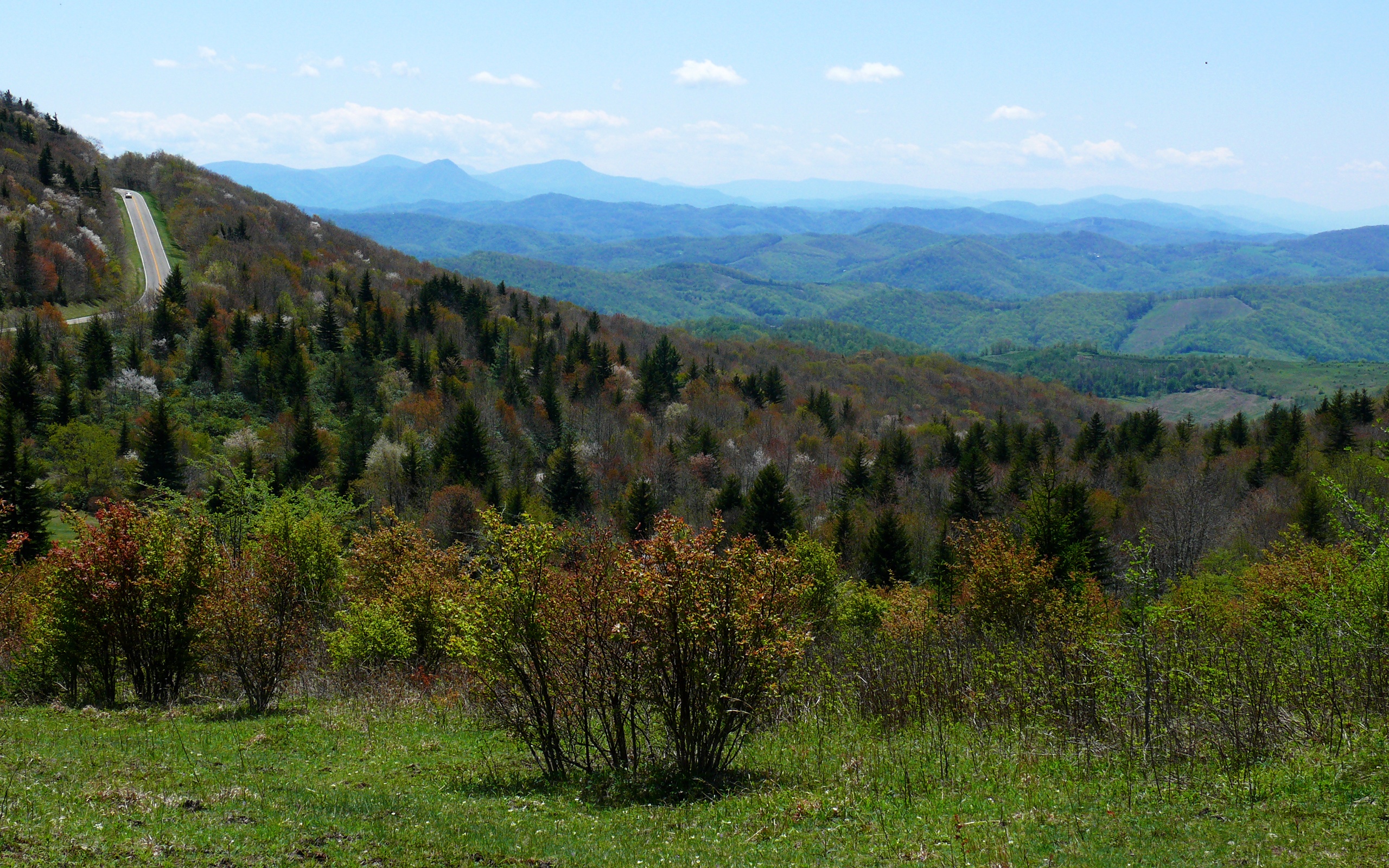
Grayson Highlands State Park
Fast facts
- Size: about 4,500 acres (18 km²)
- Setting: alpine-like balds more than 5,000 feet (1,520 m) high
- Neighbour: Mount Rogers, 5,729 feet (1,746 m), Virginia’s highest peak, in the Mount Rogers National Recreation Area
- Trail link: the Appalachian Trail and the Virginia Highlands Horse Trail
- Gateway: Independence and Damascus
- Managed by: Virginia State Parks
The landscape
Grayson Highlands sits in Virginia’s highest country, near Mount Rogers and Whitetop Mountain. Open grassy balds and rocky outcrops give sweeping views, and wild ponies graze the high meadows, keeping them open. Spruce-fir forest caps the higher peaks, and rhododendron blooms in June.
Best time to go
Late spring brings rhododendron blooms; summer is cool at elevation; fall colour peaks in early October. Winter is cold, windy and icy on the balds.
Getting there and around
US 58 leads to the park entrance, and a park road climbs to Massie Gap and the visitor center. From Massie Gap, trails lead onto the balds and join the Appalachian Trail toward Mount Rogers.
Things to do
Short hikes from Massie Gap reach the ponies and viewpoints such as Twin Pinnacles. The Appalachian Trail offers day hikes and overnight trips toward Mount Rogers, with shelters in the national recreation area. Horse riders use the Virginia Highlands Horse Trail.
Staying safe
Weather on the open balds changes quickly, and fog can make navigation difficult; carry a map and layers. Do not feed or touch the ponies, which can kick and bite. Store food from bears, and leave a trip plan for overnight trips.
Know before you go
This page is a general overview, not a live conditions report, so confirm current conditions and reservations with Virginia State Parks before you go.
- Coordinates
- 36.6258, -81.4981
- Magnetic declination
- 7.8° W (2026)
Set this declination on your compass, then align it to the map's north lines; it is the angle between true north and magnetic north, refreshed each year.
How declination works, and how to navigate with a map and compass
A spread of the park’s main places shows straight away, and the rest appear as you zoom in. You can also search above, or pick any place from the lists below, and the map will go to it. Places in bold, marked , have a short description.
Getting there 2
Park entrance
Visitor centre
On the trail 2
Route
Campground
Sights 3
Viewpoint
Peaks
Map data comes from third-party sources and may be incomplete or out of date, so carry a current official map (terms).
Looking for one of these closer to home?Destinations near me by trip type →
- Best seasons
- Spring, Summer, Fall (foliage)
- Difficulty
- Easy to moderate
- Access / trailheads
- US Route 58 midway between Independence and Damascus; from Interstate 81, exit 45 at Marion and take Route 16 south.
- Water
- Streams; treat all water.
- Cell / satellite coverage
- Patchy on the balds.
- Nearest ranger / SAR / emergency
- Emergencies: 911. Park office: 276-579-7092.
- Permits & regulations
- A parking fee applies. Campsites are reserved through Virginia State Parks. The park is open 8 a.m. to 10 p.m.
- Leave No Trace
- Never feed the ponies, stay on trails across the balds, store food from bears and pack out all waste.
January
- Below-freezing nights
February
- Below-freezing nights
March
- Below-freezing nights
April
May
June
July
August
September
October This month
November
- Below-freezing nights
December
- Below-freezing nights
What to bring depends on your trip: how long you’re out, where you sleep, and how far you go from the road. The planner builds the list for yours.
Plan a trip here →Averages for 1991–2020 from NOAA U.S. Climate Normals, measured at the Jefferson station, 15 miles (24 km)24 km (15 miles) away at 2,759 feet (841 m)841 m (2,759 feet). Higher trails run colder, by about 3.5°F for every 1,000 ft (2°C per 300 m)2°C for every 300 m (3.5°F per 1,000 ft) of climb. Daylight runs from sunrise to sunset on the 15th, on the park’s own clock, for a level horizon. Valleys and slopes facing away from the sun are in shade earlier.
Nearby parks
-
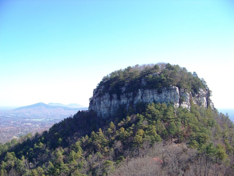 Pilot Mountain State Park
A quartzite knob visible for miles across the North Carolina Piedmont, with summit overlooks, cliff-foot trails and a quiet stretch of the Yadkin River.
-
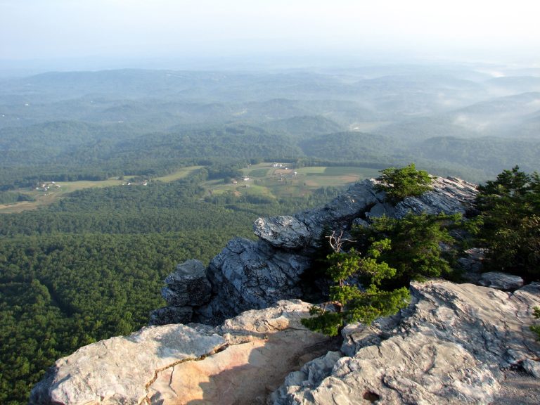 Hanging Rock State Park
Quartzite summits, cliff-top views and five waterfalls in the Sauratown Mountains, the range that stands apart from the Blue Ridge.
-
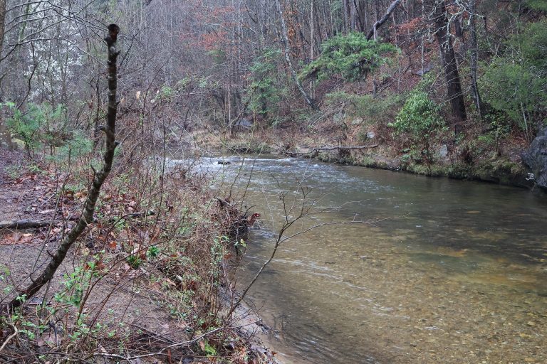 South Mountains State Park
A backcountry park in the foothills east of Asheville, with an 80-foot (24 m) waterfall and 50 miles (80 km) of trail.
-
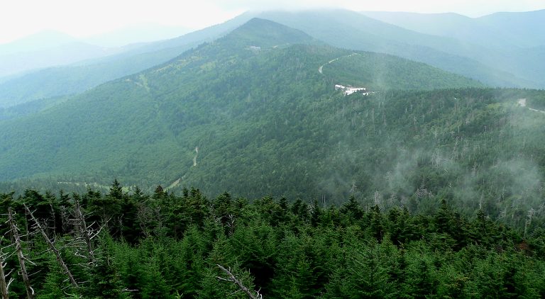 Mount Mitchell State Park
The highest point east of the Mississippi, 6,684 feet (2,037 m) up in the Black Mountains, with the Black Mountain Crest Trail.
Straight-line distance between park centres. Road distance is usually longer.
Looking for somewhere closer to home?
See every park and monument within a day’s drive of where you are.