

Pilot Mountain State Park
Fast facts
- Size: about 3,870 acres (15.7 km²) in two sections joined by a trail corridor
- The mountain: a quartzite knob rising more than 1,400 feet (430 m) above the country around it
- Trails: 14 miles (23 km) on the mountain, 14 miles (23 km) by the river and a 6.6-mile (10.6 km) corridor between
- Camping: 49 tent and trailer sites without hookups, plus paddle-in sites on the river; no backcountry camping
- Established: 1968
- Gateway: Pilot Mountain, Pinnacle and Winston-Salem
- Managed by: North Carolina State Parks
The landscape
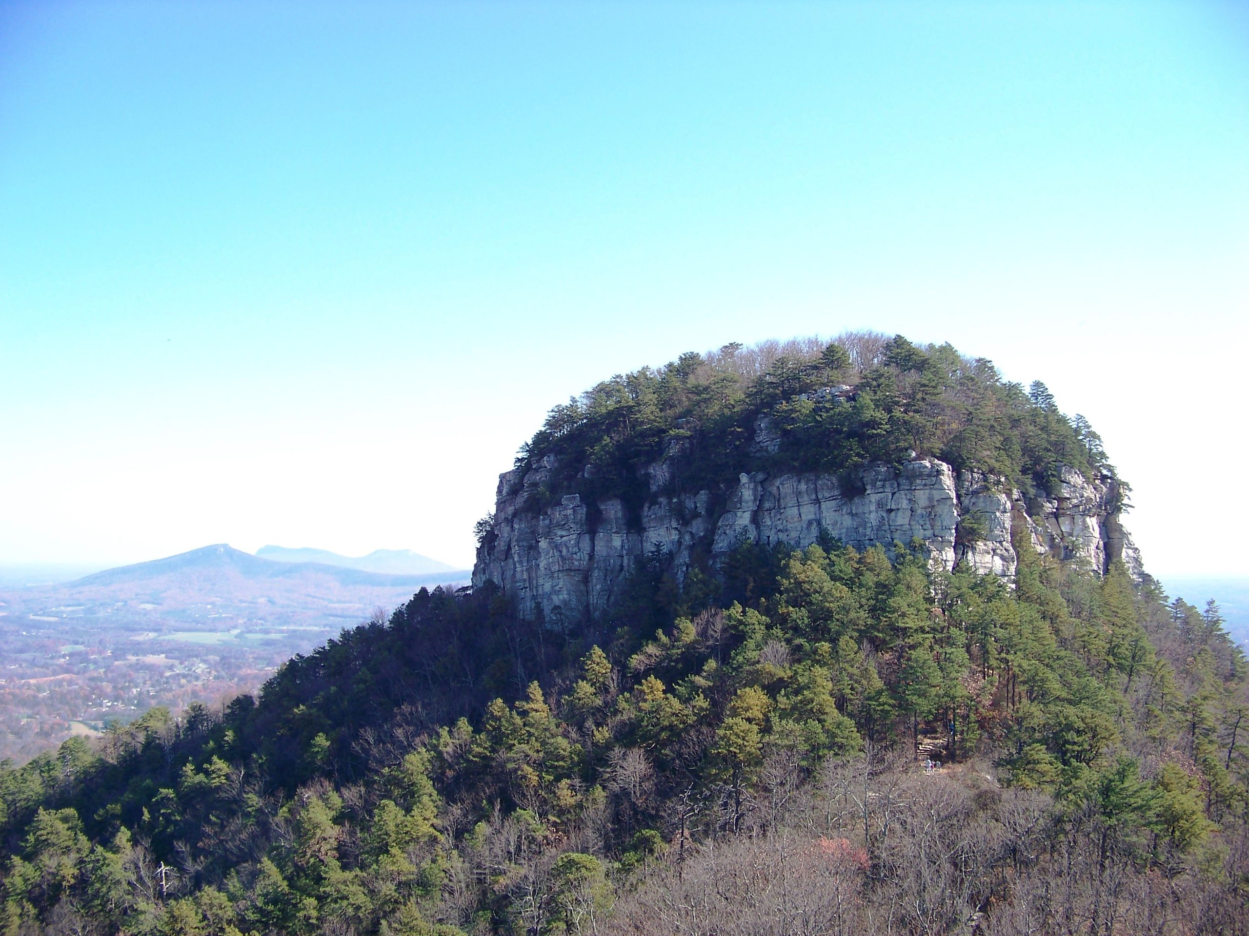
Pilot Mountain is the westernmost peak of the Sauratown Mountains and one of the most recognisable landmarks in North Carolina: a forested cone topped by the Big Pinnacle, a round knob of bare quartzite with walls more than 200 feet (60 m) high and a cap of trees. The hard quartzite has outlasted the softer rock that once surrounded it, leaving the mountain standing alone above the rolling Piedmont. The Saura people called it Jomeokee, the Great Guide, and settlers used it the same way.
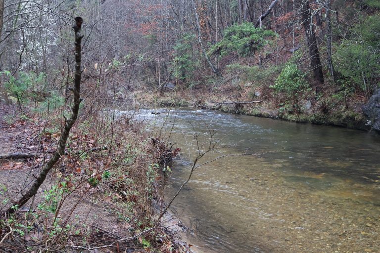
A saddle joins the Big Pinnacle to the Little Pinnacle, where the summit overlooks are, with views east to Hanging Rock and north to the Blue Ridge. Pine, chestnut oak and mountain laurel cover the dry slopes, and ravens and vultures ride the updrafts along the cliffs. About 10 miles (16 km) south, a second section of the park takes in 2 miles (3 km) of the Yadkin River, broad and shallow here, with two wooded islands.
Best time to go
Fall is the favourite season, with colour from mid-October to early November, and it brings long waits: on fine weekends and holidays the summit lot fills and cars are held at the bottom. Spring is cooler and quieter, with mountain laurel in bloom in May. Summer is hot and hazy, so walk early. Winter gives the clearest views. The park is open all year, and the two sections and the campground keep different gate hours.
Getting there and around
From US Highway 52, the park exit leads to the Visitor Center at the foot of the mountain. From there the summit road climbs about 2 miles (3 km) to a parking area beside the Little Pinnacle; when it is full, you can wait, come back later, or walk up the Grindstone Trail. The river section is reached by country roads to the Bean Shoals, Ivy Bluff and Shoals accesses on either bank of the Yadkin. There are no mountain bike trails in the park.
Things to do
At the summit, the Little Pinnacle Overlook is a 0.1-mile (160 m) walk to the classic view of the Big Pinnacle. The Pilot Knob Trail crosses the saddle and circles the foot of the Big Pinnacle’s cliffs, 0.8 miles (1.3 km) round trip. The Ledge Spring Trail, a rough mile (1.6 km) under the ledges west of the Little Pinnacle, is the hardest going on the mountain. To climb the whole mountain on foot, the Grindstone Trail runs 3.5 miles (5.6 km) from the Visitor Center to the summit, and with the 4.3-mile (6.9 km) Mountain Trail it makes a loop of about 6 miles (10 km).
Rock climbers use the cliffs along the Ledge Spring Trail, one of the best-known beginner and top-rope areas in the state. The Corridor Trail, 6.6 miles (10.6 km) one way and open to horses, links the mountain to the river, where the Horne Creek and Bean Shoals Canal trails follow the bank past the remains of an unfinished 1820s canal. Paddlers on the Yadkin can stop at the park’s paddle-in campsites, and anglers fish for sunfish, catfish and crappie.
Staying safe
The overlooks and ledges end in real drops. Stay behind the railings where there are any, keep back from the edge where there are none, and keep children and dogs close. Climbing or scrambling on the Big Pinnacle is prohibited. The trails on the mountain are steep and rocky and the summer heat is heavy, so carry water; there is none at the top.
The park asks visitors to stay on the trail for a practical reason: ticks, venomous snakes and poison ivy are all more likely off it. The summit is exposed, so come down if a thunderstorm is building. At the river, the Yadkin can rise quickly after rain, and the trails cross an active railway line; wade to the islands only at low water.
Know before you go
Pets are welcome on the trails on a leash of 6 feet (1.8 m) or less. Horses are allowed only on the Corridor and Yadkin Islands trails, and riders must carry proof of a negative Coggins test. Part of the mountain burned in a wildfire in 2021 and is growing back. This page is a general overview, not a live conditions report, so check gate hours, summit parking and trail status with North Carolina State Parks before you go.
- Coordinates
- 36.3071, -80.4998
- Magnetic declination
- 8.4° W (2026)
Set this declination on your compass, then align it to the map's north lines; it is the angle between true north and magnetic north, refreshed each year.
How declination works, and how to navigate with a map and compass
A spread of the park’s main places shows straight away, and the rest appear as you zoom in. You can also search above, or pick any place from the lists below, and the map will go to it. Places in bold, marked , have a short description.
Getting there 2
Park entrance
Ranger station
On the trail 10
Routes
Campgrounds
Picnic sites
Sights 5
Viewpoint
Point of interest
Island
Peaks
Map data comes from third-party sources and may be incomplete or out of date, so carry a current official map (terms).
Looking for one of these closer to home?Destinations near me by trip type →
- Best seasons
- Fall (colour), Spring, Winter, Summer mornings
- Difficulty
- Easy to strenuous
- Access / trailheads
- Off US Highway 52 at the Pilot Mountain State Park exit, about 20 miles (32 km) northwest of Winston-Salem. A park road climbs from the Visitor Center to the summit parking area. The Yadkin River section, about 10 miles (16 km) south, has its own entrances.
- Water
- Drinking water at the Visitor Center and campground. None at the summit picnic area or on the trails.
- Cell / satellite coverage
- Good on the summit and at the Visitor Center, patchy on the lower trails and at the river.
- Nearest ranger / SAR / emergency
- Emergencies: 911. Park office: 336-444-5100.
- Permits & regulations
- No fee for day use. Fees apply for camping and group climbing. Climbers must register, and climbing on the Big Pinnacle is prohibited. Campsites are reserved through North Carolina State Parks.
- Leave No Trace
- Stay on the trails, keep pets on a leash of 6 feet (1.8 m) or less, bag and bin pet waste, and leave the Big Pinnacle's plants and nesting birds undisturbed.
January
- Below-freezing nights
February
- Below-freezing nights
March
April
May
June
July
August
September
October This month
November
December
- Below-freezing nights
What to bring depends on your trip: how long you’re out, where you sleep, and how far you go from the road. The planner builds the list for yours.
Plan a trip here →Averages for 1991–2020 from NOAA U.S. Climate Normals, measured at the Rural Hall station, 11 miles (17 km)17 km (11 miles) away at 960 feet (293 m)293 m (960 feet). Higher trails run colder, by about 3.5°F for every 1,000 ft (2°C per 300 m)2°C for every 300 m (3.5°F per 1,000 ft) of climb. Daylight runs from sunrise to sunset on the 15th, on the park’s own clock, for a level horizon. Valleys and slopes facing away from the sun are in shade earlier.
Nearby parks
-
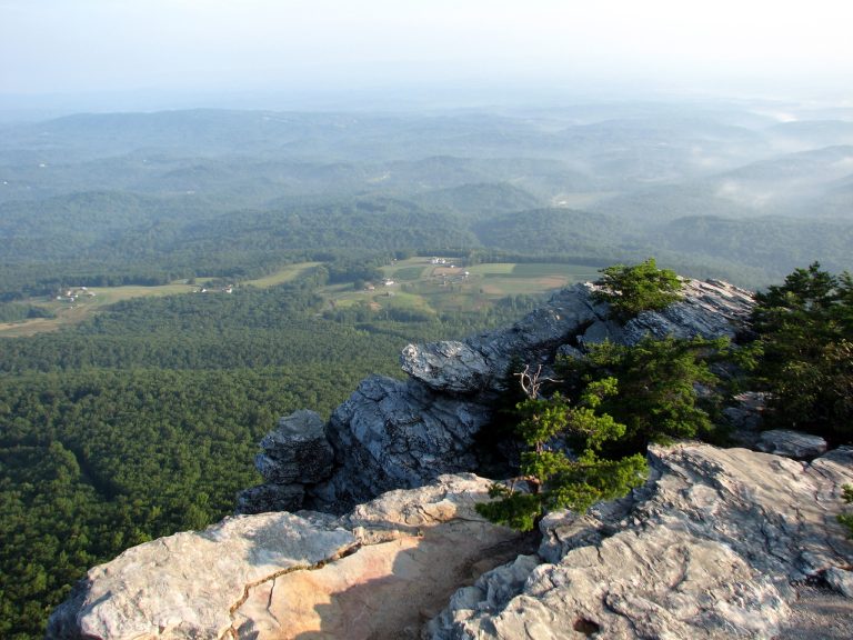 Hanging Rock State Park
Quartzite summits, cliff-top views and five waterfalls in the Sauratown Mountains, the range that stands apart from the Blue Ridge.
-
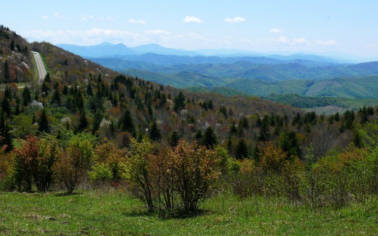 Grayson Highlands State Park
Wild ponies on open balds above 5,000 feet (1,520 m), next to Mount Rogers, Virginia's highest peak, on the AT.
-
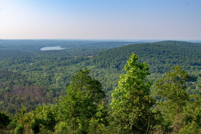 Morrow Mountain State Park
Worn-down summits of the ancient Uwharrie Mountains above Lake Tillery, with a drive-up overlook, quiet forest trails and backpack campsites.
-
 South Mountains State Park
A backcountry park in the foothills east of Asheville, with an 80-foot (24 m) waterfall and 50 miles (80 km) of trail.
Straight-line distance between park centres. Road distance is usually longer.
Looking for somewhere closer to home?
See every park and monument within a day’s drive of where you are.