

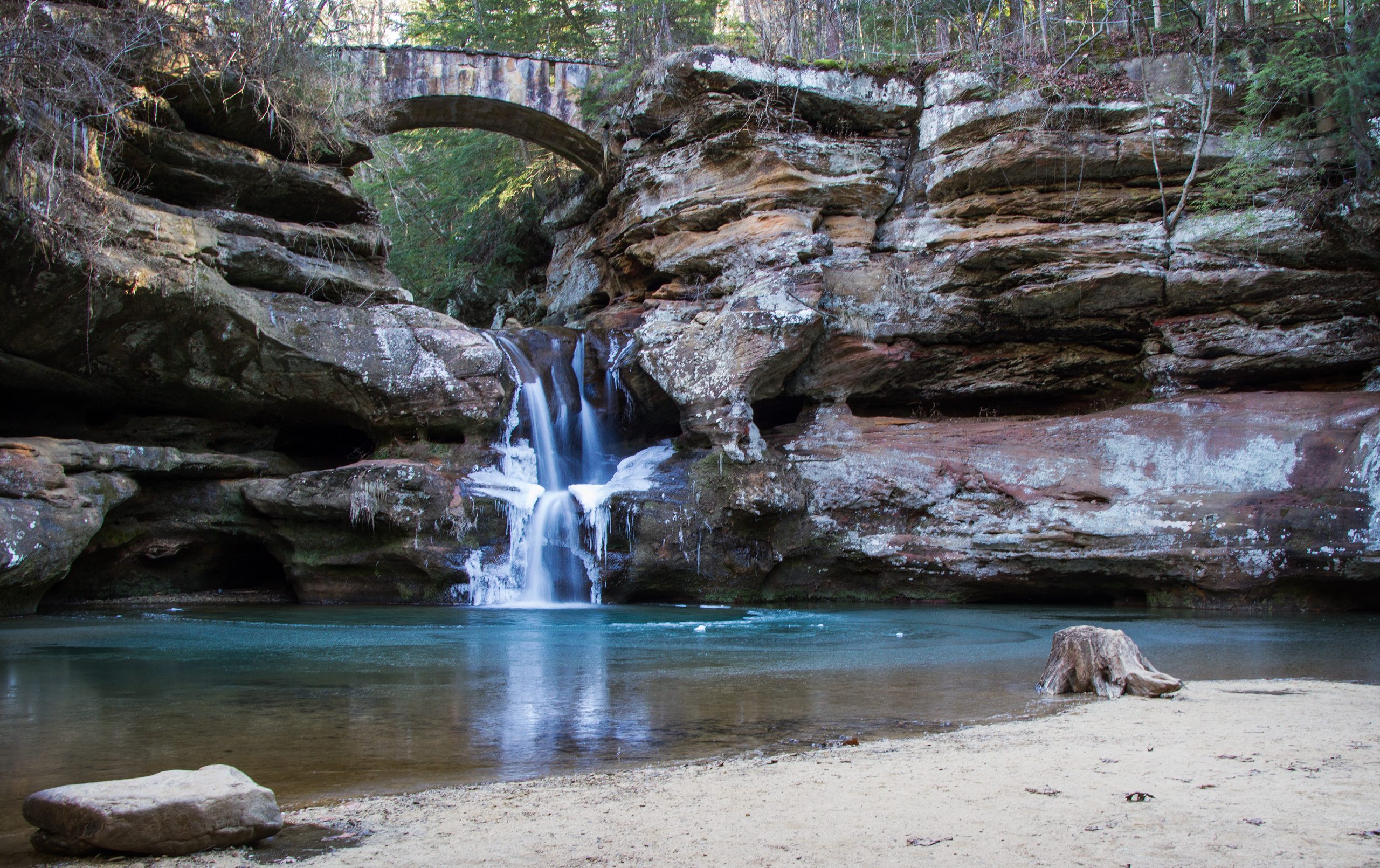
Hocking Hills State Park
Fast facts
- Size: about 2,356 acres (9.5 km²), in several separate areas
- Known for: Old Man’s Cave, Ash Cave, Cedar Falls, Rock House, Cantwell Cliffs and Whispering Cave
- Trails: more than 25 miles (40 km), most of them short and many one-way
- Camping: a campground beside Old Man’s Cave, hike-in tent sites and group camps; also a lodge and cabins
- Established: 1949, on land the state began buying in 1924
- Gateway: Logan, about 55 miles (90 km) southeast of Columbus
- Managed by: Ohio Department of Natural Resources
The landscape
Hocking Hills is a set of gorges cut into Black Hand Sandstone, a rock laid down more than 350 million years ago. The sandstone has hard upper and lower layers and a softer middle, and water has hollowed that middle layer into recess caves: broad overhangs such as Ash Cave, Old Man’s Cave and Whispering Cave. Streams drop over the hard caprock as waterfalls, and blocks that have broken from the cliffs lie in the creek beds below.
The glaciers stopped short of these hills, but their meltwater carried northern plants into the cool, shaded gorges, where eastern hemlock, Canada yew and yellow and black birch still grow. The park is not one block of land. Its named areas are spread over about 12 miles (19 km) of hill country and joined by state routes, with Hocking State Forest and Conkles Hollow State Nature Preserve between and around them.
Best time to go
The park is open all year and each season has a draw. Waterfalls run strongest in spring, when wildflowers cover the forest floor; several falls shrink to a trickle or dry up in summer. Fall colour is at its height in October and brings the heaviest weekend crowds. In winter the falls and seeps freeze into ice formations, and the trails and stone steps are often coated in ice, so ice cleats are needed. On summer and fall weekends the parking areas at Old Man’s Cave, Ash Cave and Cedar Falls fill early in the day; weekdays and early mornings are quieter.
Getting there and around
Logan, on US Route 33, is the nearest town, about 55 miles (90 km) southeast of Columbus. State Route 664 leads from Logan to the Visitor Center at Old Man’s Cave, where the campground and lodge are. Cedar Falls and Ash Cave lie to the south, and Rock House and Cantwell Cliffs to the north, each with its own parking area, picnic tables and toilets. You need a car to move between them, although the Grandma Gatewood Trail links Old Man’s Cave, Cedar Falls and Ash Cave on foot. The hill roads are narrow and winding. Many trails are signed for one-way travel, so check the map at the trailhead before you start.
Things to do
Most visitors walk the short gorge trails. Old Man’s Cave is a 1-mile (1.6 km) trail through a gorge with upper and lower falls and the large recess cave the area is named for. Ash Cave, the largest recess cave in the region at about 700 feet (213 m) across and 90 feet (27 m) high, is reached by a quarter-mile (400 m) paved trail that is wheelchair accessible. Cedar Falls and Rock House are each about a mile (1.6 km), and Rock House is the park’s one true cave, a tunnel-like passage with window openings in the cliff. Cantwell Cliffs is a rougher 2 miles (3.2 km) with narrow passages and steep climbs.
For a longer day, the Whispering Cave Trail is a 4.5-mile (7.2 km) hike that crosses the swinging Hemlock Bridge to a cave with a 105-foot (32 m) seasonal waterfall. The Grandma Gatewood Trail, shared with the Buckeye Trail and the American Discovery Trail, runs 6 miles (10 km) from Old Man’s Cave past Cedar Falls to Ash Cave. The park also has two 2-mile (3.2 km) mountain bike loops, 5 miles (8 km) of bridle trail with many more in the state forest, fishing and paddling on 17-acre (7 ha) Rose Lake, and the John Glenn Astronomy Park, which is open at night for stargazing.
Staying safe
Falls are the serious hazard here. The trails run along the rims of gorges and beside drops that are not all fenced, and people are badly hurt or killed in falls from the cliffs. Stay on the marked trail, keep back from edges, keep children close, and do not climb the rock or the waterfalls. Wet sandstone and worn stone steps are slippery, so wear shoes with good grip. In winter, ice often covers the trails and stairs; bring ice cleats and turn around if you cannot keep your footing.
The trails close half an hour after sunset, and the gorges get dark early under the hemlocks, so start with enough daylight and carry a light. Heavy rain raises the creeks quickly and can flood the gorge floors. Phone signal is poor in the gorges; tell someone your plan and carry a paper or downloaded map. Check for ticks after hiking and learn to recognise poison ivy, which grows along the trail edges.
Know before you go
Pets are allowed on the park trails on a leash, but not in the neighbouring Conkles Hollow State Nature Preserve. The Visitor Center at Old Man’s Cave has exhibits, toilets and a gift shop. Hike-in campers carry their gear up to half a mile (800 m) from the parking area. Rock climbing and rappelling have a designated area in the adjacent Hocking State Forest. This page is a general overview, not a live conditions report, so confirm trail closures, one-way routes and campground details with Ohio State Parks before you go.
- Coordinates
- 39.4675, -82.5721
- Magnetic declination
- 7.5° W (2026)
Set this declination on your compass, then align it to the map's north lines; it is the angle between true north and magnetic north, refreshed each year.
How declination works, and how to navigate with a map and compass
A spread of the park’s main places shows straight away, and the rest appear as you zoom in. You can also search above, or pick any place from the lists below, and the map will go to it. Places in bold, marked , have a short description.
Getting there 1
Visitor centre
On the trail 4
Routes
Campgrounds
Sights 16
Viewpoint
Waterfalls
Lake
Points of interest
Map data comes from third-party sources and may be incomplete or out of date, so carry a current official map (terms).
Looking for one of these closer to home?Destinations near me by trip type →
- Best seasons
- Spring (waterfalls and wildflowers), Fall (colour), Winter (ice formations), Summer
- Difficulty
- Easy to strenuous
- Access / trailheads
- From US Route 33 at Logan, State Route 664 runs about 12 miles (19 km) southwest to the Visitor Center and Old Man's Cave. State Routes 664, 374 and 56 link the park's separate areas, each with its own parking.
- Water
- Drinking water at the Visitor Center and the campground, and a spigot at the hike-in campground parking area. Carry what you need on the trails; do not drink from the streams untreated.
- Cell / satellite coverage
- Unreliable. Signal is weak or absent in the gorges and patchy on the roads between areas, so download maps before you arrive.
- Nearest ranger / SAR / emergency
- Emergencies: 911. Park office: 740-385-6842.
- Permits & regulations
- Campsites, including the hike-in sites, must be reserved and can be booked up to six months ahead. Trails and picnic areas are open from half an hour before sunrise to half an hour after sunset. Fishing at Rose Lake needs an Ohio fishing licence from age 16.
- Leave No Trace
- Stay on the marked trails, follow the one-way signs, keep pets leashed, and pack out all waste. Do not climb on or carve the sandstone.
January
- Below-freezing nights
February
- Below-freezing nights
March
- Below-freezing nights
April
May
June
July
August
September
October This month
November
- Below-freezing nights
December
- Below-freezing nights
What to bring depends on your trip: how long you’re out, where you sleep, and how far you go from the road. The planner builds the list for yours.
Plan a trip here →Averages for 1991–2020 from NOAA U.S. Climate Normals, measured at the Logan station, 11 miles (17 km)17 km (11 miles) away at 722 feet (220 m)220 m (722 feet). Higher trails run colder, by about 3.5°F for every 1,000 ft (2°C per 300 m)2°C for every 300 m (3.5°F per 1,000 ft) of climb. Daylight runs from sunrise to sunset on the 15th, on the park’s own clock, for a level horizon. Valleys and slopes facing away from the sun are in shade earlier.
Nearby parks
-
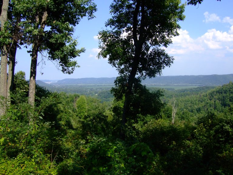 Shawnee State Forest
The Little Smokies of Ohio: 60,000 acres (240 km²) of steep hills, with the state's longest backpacking trail.
-
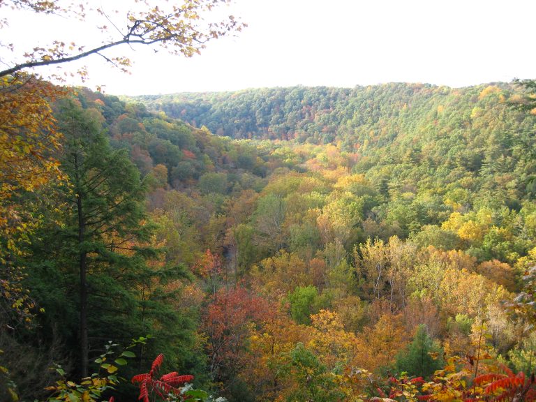 Mohican State Park
A hemlock gorge on the Clear Fork of the Mohican River, with waterfalls, a covered bridge, overlooks and Ohio's best-known mountain bike trail.
-
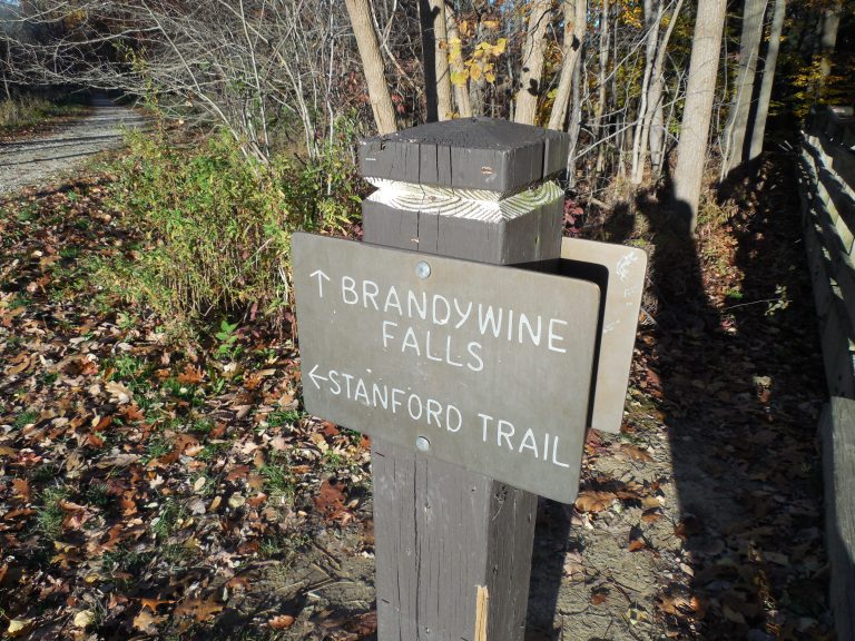 Cuyahoga Valley National Park
A forested river valley between Cleveland and Akron, with Brandywine Falls, sandstone ledges and the Towpath Trail.
-
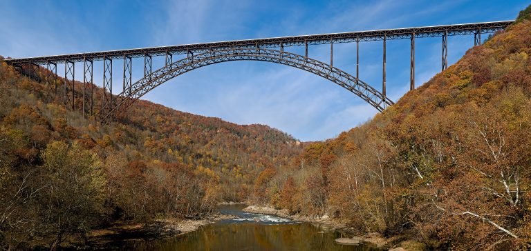 New River Gorge National Park
A deep river gorge in West Virginia with big whitewater, thousands of sandstone climbing routes and the New River Gorge Bridge.
Straight-line distance between park centres. Road distance is usually longer.
Looking for somewhere closer to home?
See every park and monument within a day’s drive of where you are.