

Mohican State Park
Fast facts
- Size: about 1,110 acres (4.5 km²), surrounded by the 4,525-acre (18 km²) Mohican-Memorial State Forest
- The gorge: more than 300 feet (90 m) deep and 1,000 feet (300 m) wide at the top; a National Natural Landmark
- Trails: 13 miles (21 km) of hiking trail in the park, 32 miles (51 km) more in the forest and a 25-mile (40 km) mountain bike loop
- Camping: a main campground, a smaller riverside campground, cabins, a group camp and a lodge
- Created: 1949 as Clear Fork State Park; renamed in 1966
- Gateway: Loudonville
- Managed by: Ohio Department of Natural Resources
The landscape
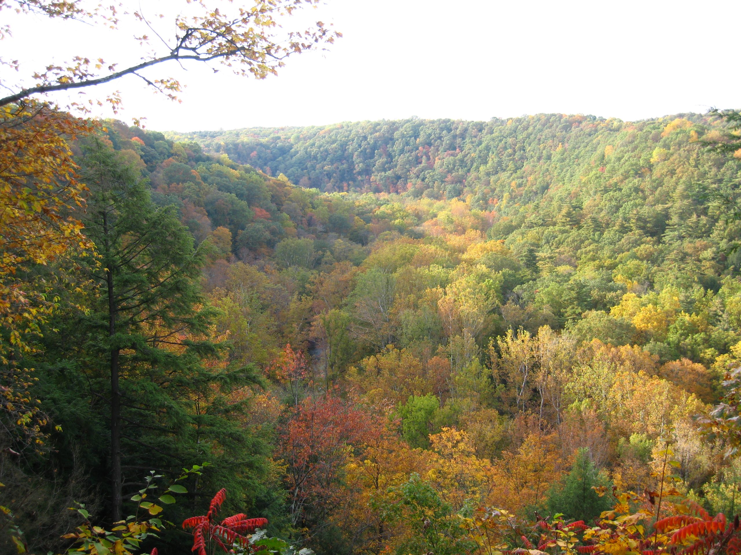
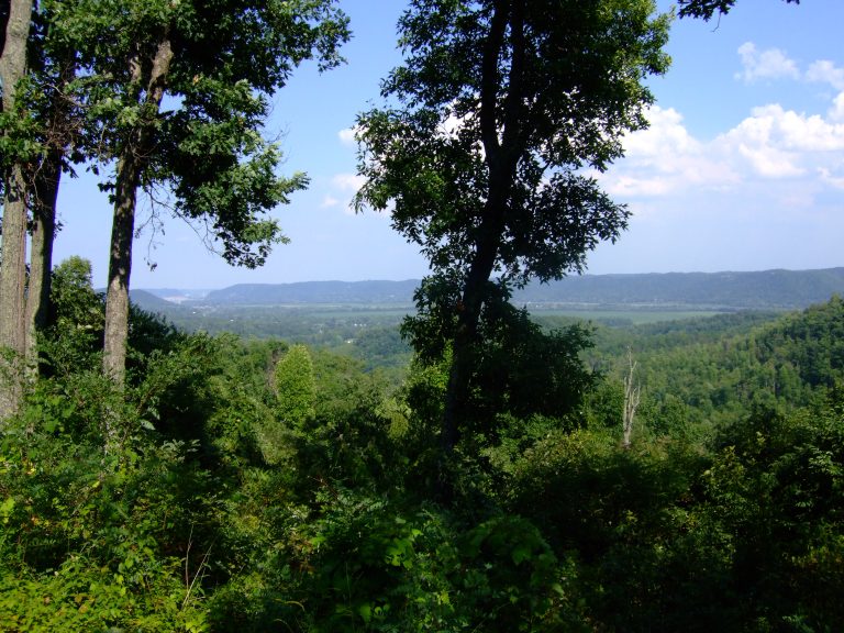
The last ice sheet to reach Ohio stopped here, about 14,000 years ago, and the water pouring off it cut the Clear Fork Gorge into the sandstone: a winding valley more than 300 feet (90 m) deep with steep, wooded walls and bands of cliff. The Clear Fork of the Mohican River runs through the bottom, clear and cool enough to be one of only three streams in Ohio stocked with brown trout.
The gorge is known for its trees. Tall hemlocks shade the north-facing slope, and stands of old-growth white pine grow on the bluffs, which is why the National Park Service lists the gorge as a National Natural Landmark. Oak and maple cover the ridges, sycamore and buckeye the bottomland, and the damp rock holds an unusual variety of ferns. Pleasant Hill Dam, at the head of the gorge, holds back a lake of 850 acres (344 ha).
Best time to go
The park is open all year. Spring brings wildflowers and the fullest flow over Big Lyons Falls, which thins in dry weather. Summer is the season for the river, when the Mohican fills with canoes and tubes, and for the campgrounds, which book up on weekends. Fall colour in the gorge peaks around mid-October. Winter is quiet; the campground stays open with limited services, and the frozen falls are worth the walk.
Getting there and around
Loudonville is the gateway. The main campground, the Visitor Center and the Wolf Creek Grist Mill are on State Route 3 just south of town. For the gorge, take State Route 97 west and follow the park road down to the covered bridge on the river, the start of the Lyons Falls and Hemlock Gorge trails, or continue to the Gorge Overlook on the rim. The lodge sits on Pleasant Hill Lake to the north. The Visitor Center is open daily.
Things to do
The Lyons Falls Trail is the favourite: 2 miles (3.2 km) along the gorge wall from the covered bridge to Big Lyons Falls, an 80-foot (24 m) drop over a sandstone overhang, and the smaller Little Lyons Falls. The Hemlock Gorge Trail follows the river for 2.4 miles (3.9 km) between the covered bridge and the main campground, crossing the swinging bridge on the way. The Pleasant Hill Trail is an easy 0.8 miles (1.3 km) upriver to the dam. The Gorge Overlook has two stone decks built in the 1930s, with the widest view in the park.
Mountain bikers come for the Mohican loop, 25 miles (40 km) of singletrack around the gorge through park and forest, also open to hikers. Paddlers and tubers float the Mohican River below the park, with outfitters in Loudonville. Anglers fish the Clear Fork for brown trout and Pleasant Hill Lake for bass, bluegill and crappie. A climb up the fire tower in the state forest gives a view over the treetops.
Staying safe
The gorge trails are narrow in places with steep slopes below them, and the rock around the waterfalls is wet and slick; the two shortest overlook trails are rated extreme for their grade. Wear shoes with grip, keep children close and stay off the lip of the falls. After heavy rain, or when the dam is releasing water, the Clear Fork runs high and fast, and the riverside trails can flood.
Check for ticks after hiking and learn to recognise poison ivy. On shared trails, listen for bikes and step aside for horses. Hunting is allowed in the state forest that surrounds the park, so wear bright orange on forest trails in the fall seasons. On the river, wear a life jacket and stay off the water when it is high.
Know before you go
Leashed pets are welcome on the trails and in the campgrounds. Backpack camping is in the Mohican-Memorial State Forest, not the park, and needs a free permit from the forest office. The grist mill and the lodge keep their own hours. This page is a general overview, not a live conditions report, so check river levels, trail closures and campground services with Ohio State Parks before you go.
- Coordinates
- 40.6190, -82.2975
- Magnetic declination
- 7.8° W (2026)
Set this declination on your compass, then align it to the map's north lines; it is the angle between true north and magnetic north, refreshed each year.
How declination works, and how to navigate with a map and compass
A spread of the park’s main places shows straight away, and the rest appear as you zoom in. You can also search above, or pick any place from the lists below, and the map will go to it. Places in bold, marked , have a short description.
Getting there 1
Visitor centre
On the trail 9
Trailhead
Route
Campgrounds
Picnic sites
Sights 10
Viewpoints
Waterfalls
Lake
Heritage site
Points of interest
Map data comes from third-party sources and may be incomplete or out of date, so carry a current official map (terms).
Looking for one of these closer to home?Destinations near me by trip type →
- Best seasons
- Spring, Summer, Fall (colour), Winter
- Difficulty
- Easy to strenuous
- Access / trailheads
- South of Loudonville, about 80 miles (130 km) southwest of Cleveland and 70 miles (115 km) northeast of Columbus. The main campground and Visitor Center are on State Route 3; the gorge, covered bridge and lodge are reached from State Route 97.
- Water
- Drinking water at the Visitor Center and campgrounds. None on the trails; treat river and creek water.
- Cell / satellite coverage
- Fair near the campground and lodge, weak in the gorge.
- Nearest ranger / SAR / emergency
- Emergencies: 911. Park office: 419-994-5125.
- Permits & regulations
- No entry fee. Campsites and cabins must be reserved through Ohio State Parks. An Ohio fishing licence is needed from age 16. Hunting is prohibited in the park but allowed in the surrounding state forest.
- Leave No Trace
- Stay on the trails, give way to riders and cyclists as posted, keep pets leashed, and carry out all trash. Keep fires to the grills and fire rings provided.
January
- Below-freezing nights
February
- Below-freezing nights
March
- Below-freezing nights
April
May
June
July
August
September
October This month
November
- Below-freezing nights
December
- Below-freezing nights
What to bring depends on your trip: how long you’re out, where you sleep, and how far you go from the road. The planner builds the list for yours.
Plan a trip here →Averages for 1991–2020 from NOAA U.S. Climate Normals, measured at the Danville station, 12 miles (20 km)20 km (12 miles) away at 970 feet (296 m)296 m (970 feet). Higher trails run colder, by about 3.5°F for every 1,000 ft (2°C per 300 m)2°C for every 300 m (3.5°F per 1,000 ft) of climb. Daylight runs from sunrise to sunset on the 15th, on the park’s own clock, for a level horizon. Valleys and slopes facing away from the sun are in shade earlier.
Nearby parks
-
 Cuyahoga Valley National Park
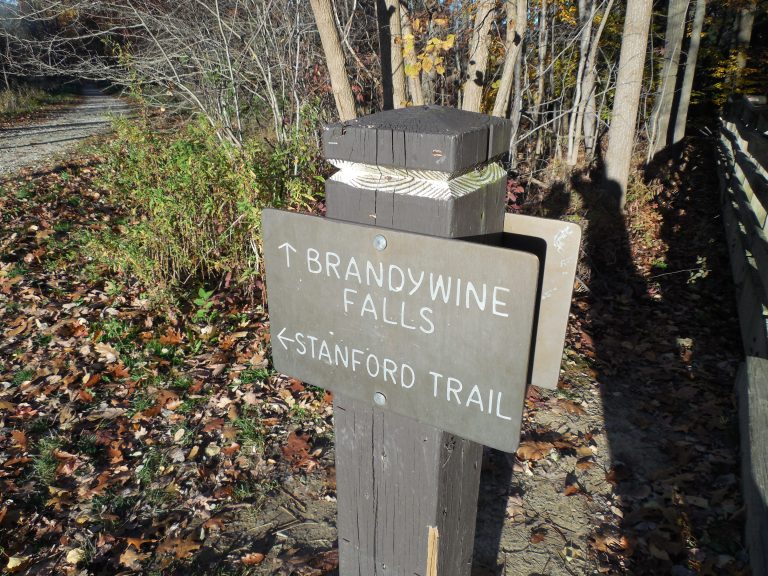
A forested river valley between Cleveland and Akron, with Brandywine Falls, sandstone ledges and the Towpath Trail.
-
 Hocking Hills State Park
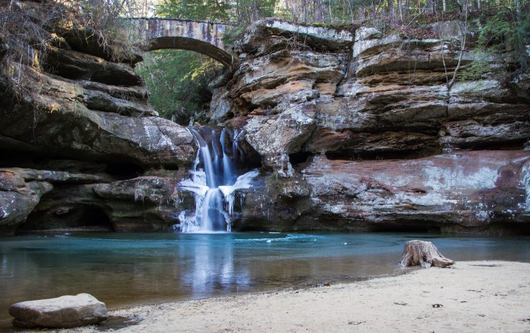
Sandstone gorges, recess caves and waterfalls under hemlocks in southeast Ohio, on short trails that draw millions of visitors a year.
-
 Point Pelee National Park
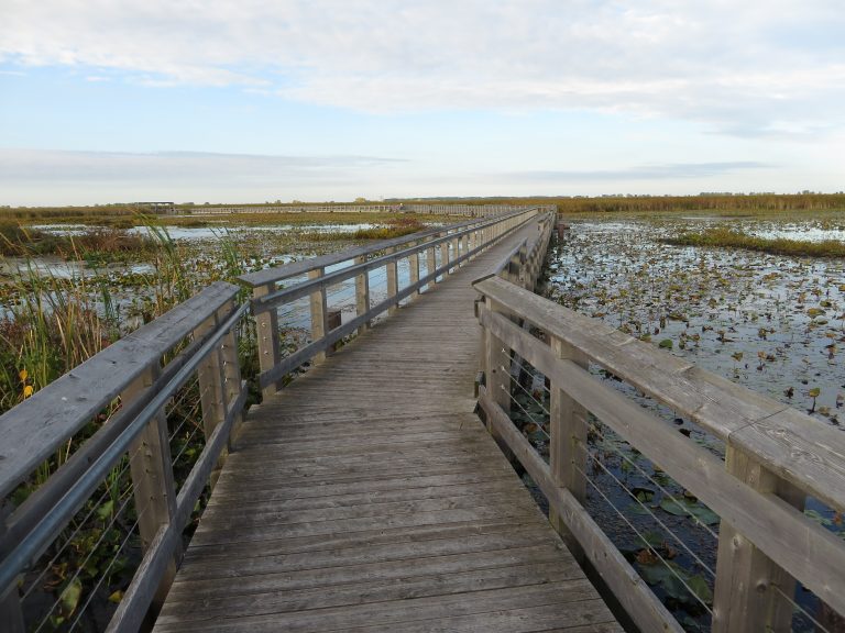
The southernmost tip of mainland Canada, a sand spit into Lake Erie famous for its spring bird and fall monarch butterfly migrations.
-
 Shawnee State Forest
The Little Smokies of Ohio: 60,000 acres (240 km²) of steep hills, with the state's longest backpacking trail.
Straight-line distance between park centres. Road distance is usually longer.
Looking for somewhere closer to home?
See every park and monument within a day’s drive of where you are.