

Olympic National Park
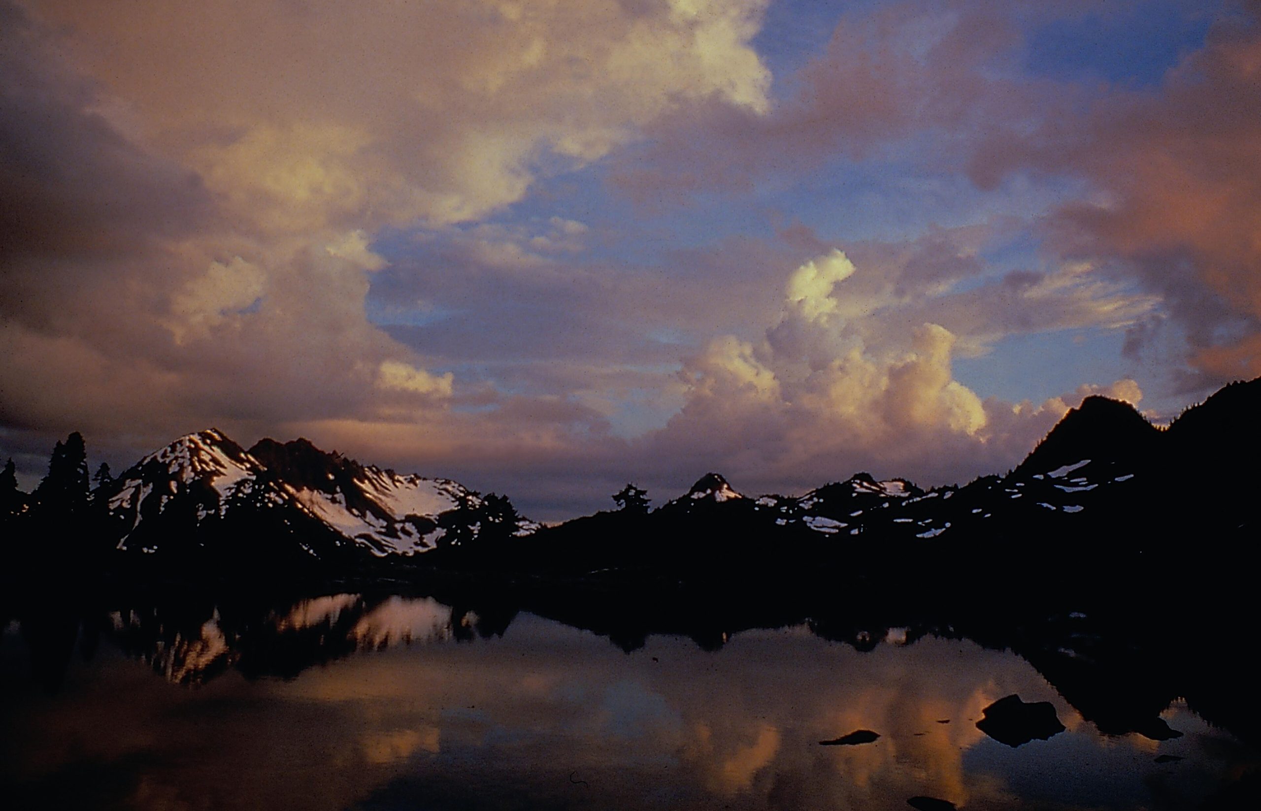
Olympic is really three parks in one, glacier-capped mountains, lush temperate rain forest, and a wild, driftwood-strewn Pacific coast, packed onto Washington’s Olympic Peninsula. From the alpine meadows of Hurricane Ridge to the dripping green cathedral of the Hoh Rain Forest to the sea stacks of Rialto Beach, few parks offer such staggering variety in a single visit.
Fast facts
- Established: 1938
- Size: about 922,000 acres (3,730 km²) on the Olympic Peninsula
- Three worlds: mountains, temperate rain forest and Pacific coast
- World Heritage: a UNESCO World Heritage Site and Biosphere Reserve
- Gateway: Port Angeles, Washington
- Managed by: National Park Service
The landscape
At its heart rise the glaciated Olympic Mountains, crowned by Mount Olympus, wringing moisture from Pacific storms. That rain feeds the famous temperate rain forests of the Hoh and Quinault, where moss-draped giants tower over ferns, while the park’s separate coastal strip protects miles of rugged, tide-pooled shoreline. Roosevelt elk, black bears, mountain goats and salmon thrive across the range.
Best time to go
Summer and early fall are the driest and most accessible, with the high roads open and trails clear, though the rain forest is lush and worth visiting in any season, and the coast is dramatic year-round. Snow buries the high country much of the year, and winter is famously wet, so plan for rain whenever you come.
Getting there and around
US-101 loops the Olympic Peninsula, with spur roads climbing to Hurricane Ridge, running out to the Hoh Rain Forest, and reaching the coast at spots like Rialto and Ruby beaches. Because the park has no through-roads across its interior, a vehicle and a good map are essential, and distances between the “three parks” are long.
Things to do
Take in the alpine views and wildflowers at Hurricane Ridge, wander the Hall of Mosses in the Hoh Rain Forest, and explore the sea stacks and tide pools of the coast at low tide. Backpackers head into the high country and along the wilderness coast, and paddlers explore Lake Crescent and Ozette, a park for every kind of adventure.
Staying safe
The coast is cold and hazardous. Watch for sneaker waves and rip currents, and time shoreline travel to the tides with a tide table. In the mountains, weather turns fast and cold with lingering snow, rivers run cold and swift, and this is bear and mountain-goat country. Store food properly and keep your distance.
Know before you go
A park pass is required, wilderness camping needs a permit (and a bear canister in places), and some high roads are seasonal. This page is a general overview, not a live conditions report; always confirm current road status, tides, conditions and permits with the National Park Service before your trip.
- Coordinates
- 47.8725, -123.9333
- Magnetic declination
- 15.2° E (2026)
Set this declination on your compass, then align it to the map's north lines; it is the angle between true north and magnetic north, refreshed each year.
A spread of the park’s main places shows straight away, and the rest appear as you zoom in. You can also search above, or pick any place from the lists below, and the map will go to it.
Getting there 17
Park entrances
Ranger stations
On the trail 95
Trailheads
Campgrounds
Hut or shelters
Picnic sites
Sights 80
Viewpoints
Waterfalls
Beachs
Heritage site
Point of interests
Islands
Peaks 30
Map data comes from third-party sources and may be incomplete or out of date, so carry a current official map (terms).
- Best seasons
- Summer, Early fall
- Difficulty
- Easy to strenuous
- Access / trailheads
- On the Olympic Peninsula in Washington; US-101 loops the park, with spur roads to Hurricane Ridge, the Hoh Rain Forest, and the coast. Port Angeles is the main hub.
- Water
- Abundant rivers and streams; filter or treat all backcountry water.
- Cell / satellite coverage
- Little to no cell service in much of the park. Carry a map and tide tables for the coast.
- Nearest ranger / SAR / emergency
- Contact park rangers; life-threatening emergencies: 911.
- Permits & regulations
- Per-vehicle entry fee (America the Beautiful pass accepted); wilderness camping needs a permit and bear canister in places. Some high roads are seasonal.
- Leave No Trace
- Use bear-proof storage, time coastal travel to the tides, pack out all waste, and follow Leave No Trace.
January
February
March
April
May
June
July
August
September This month
October
November
December
What to bring depends on your trip: how long you’re out, where you sleep, and how far you go from the road. The planner builds the list for yours.
Plan a trip here →Averages for 1991–2020 from NOAA U.S. Climate Normals, measured at the Port Angeles station, 23 miles (37 km) away at 90 feet (27 m). Conditions change with elevation: expect it colder higher up.