

Pacific Rim National Park Reserve
Pacific Rim is Vancouver Island’s wild western edge, a coast of surf-pounded beaches, brooding temperate rainforest and one of the most famous long-distance hikes in the world, the West Coast Trail. Split into three units strung along the shore, it is a park of raw Pacific weather, where summer surfers, tide-pool wanderers and winter storm-watchers all come to meet the open ocean.
Fast facts
- Established: 1970 (Canada’s first national park reserve)
- Size: about 197 square miles (511 km²) along the west coast of Vancouver Island
- Three units: Long Beach, the Broken Group Islands and the West Coast Trail
- Famous route: the 47 miles (75 km) West Coast Trail
- Gateway towns: Tofino and Ucluelet, British Columbia
- Managed by: Parks Canada, with local First Nations
The landscape
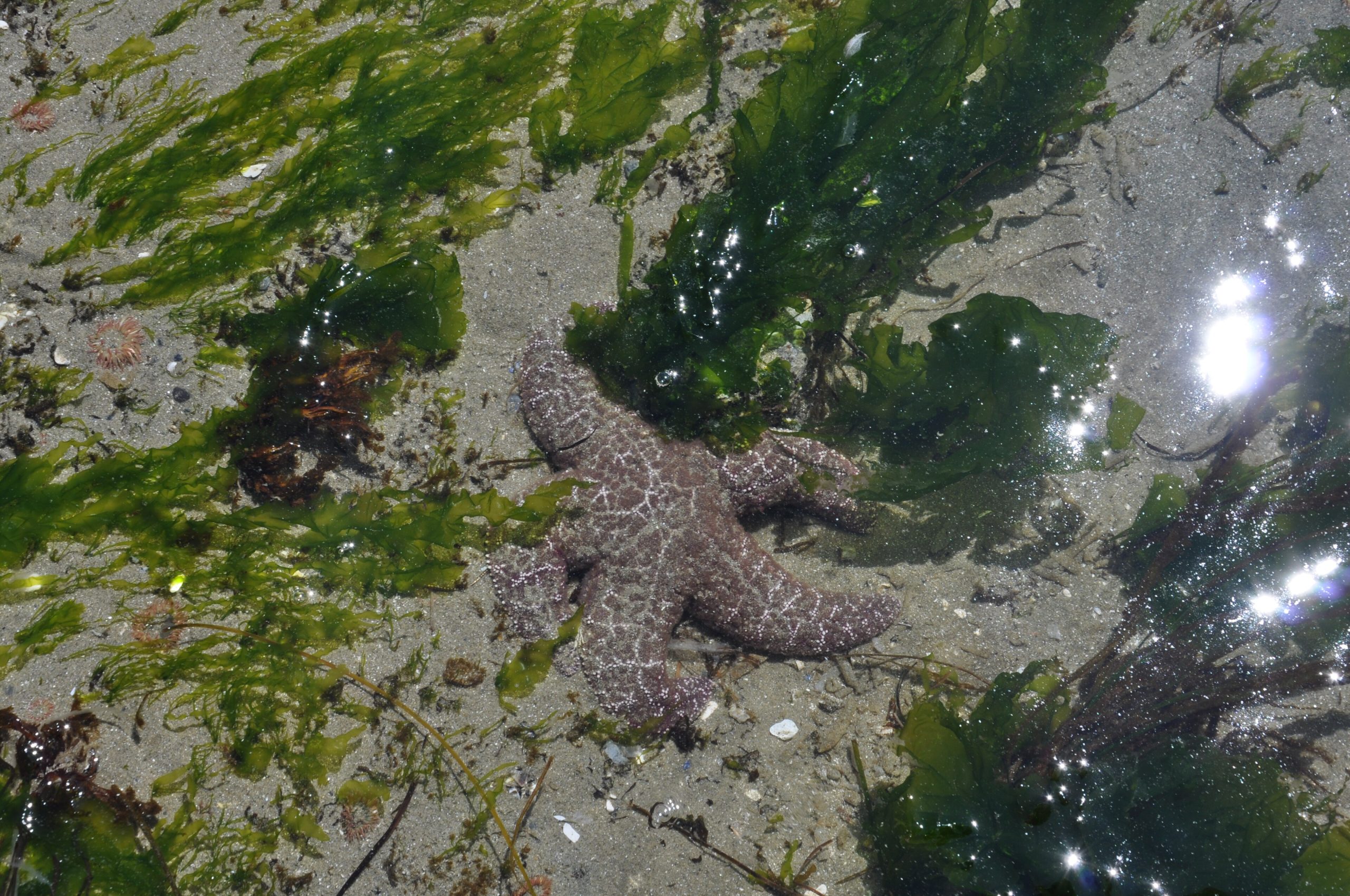
The park is where old-growth rainforest of Sitka spruce, cedar and hemlock meets the open Pacific. Long Beach stretches for kilometres of sand between rocky headlands and tide pools; the Broken Group Islands scatter across Barkley Sound; and the West Coast Trail threads a rugged shoreline of surge channels, ladders, cable cars and forest. Grey whales pass offshore, and black bears, cougars, wolves, sea lions and eagles all range the coast.
Best time to go
Summer (roughly May to September) is the hiking and beach season, when the West Coast Trail is open and the weather is at its calmest, though never guaranteed. Winter is legendary for storm watching, huge swells hammer the coast, and for uncrowded surfing, while the rainforest stays green and dripping year-round. Spring and fall are quieter and wetter.
Getting there and around
The Long Beach Unit is reached by Highway 4 across the island to the Tofino–Ucluelet area, and is the most accessible part by car. The West Coast Trail Unit lies farther south between Bamfield and Port Renfrew, and the Broken Group Islands are reached only by boat or kayak. A vehicle serves Long Beach; the other units require ferries, water taxis or your own boat.
Things to do
At Long Beach, surf the beach breaks, walk the sand and the rainforest boardwalk trails, and explore tide pools at low water. The Broken Group Islands are a premier sea-kayaking destination. And the West Coast Trail is a demanding multi-day backpacking rite of passage, ladders, mud, tides and cable cars over a wild, beautiful shore. Winter storm watching from the shelter of Tofino is a draw all its own.
Staying safe
The ocean here is cold and powerful: rip currents, sneaker waves and cold-water immersion are serious risks, so respect the surf, never turn your back on the sea, and time shoreline travel to the tides using a tide table. Rainforest and beach trails are muddy, rooty and slippery, and the coast is bear, cougar and wolf country. Store food properly and keep children close. Carry a satellite messenger where cell service ends.
Know before you go
A Parks Canada pass is required, and the West Coast Trail needs a reservation, permit and mandatory orientation, with a limited season and daily quota. Book early. Green Point Campground at Long Beach is also reservable and popular. This page is a general overview, not a live conditions report; always confirm current conditions, tides, reservations and permits with Parks Canada before your trip.
- Coordinates
- 48.8311, -125.1474
- Magnetic declination
- 15.6° E (2026)
Set this declination on your compass, then align it to the map's north lines; it is the angle between true north and magnetic north, refreshed each year.
A spread of the park’s main places shows straight away, and the rest appear as you zoom in. You can also search above, or pick any place from the lists below, and the map will go to it.
Getting there 4
Airstrips
On the trail 55
Trailheads
Campgrounds
Sights 108
Viewpoints
Waterfalls
Beachs
Heritage sites
Point of interests
Islands
Peaks 30
Map data comes from third-party sources and may be incomplete or out of date, so carry a current official map (terms).
- Best seasons
- Summer (hiking), Winter (storm watching)
- Difficulty
- Easy to strenuous
- Access / trailheads
- On the west coast of Vancouver Island: the Long Beach Unit via Highway 4 near Tofino and Ucluelet; the West Coast Trail Unit between Bamfield and Port Renfrew; the Broken Group Islands by boat.
- Water
- Streams along the trails; filter or treat all water, and carry ample on the beaches.
- Cell / satellite coverage
- Limited to no cell service outside the towns. Carry a map, tide tables and a satellite messenger.
- Nearest ranger / SAR / emergency
- Marine emergencies: Canadian Coast Guard (VHF 16); life-threatening emergencies: 911.
- Permits & regulations
- A Parks Canada pass is required; the West Coast Trail requires a reservation, permit and mandatory orientation, and Green Point Campground is reservable.
- Leave No Trace
- Camp only at designated sites, store food from bears, pack out all waste, respect First Nations lands, and follow Leave No Trace.
January
February
March
April
May
June
July
August
September This month
October
November
December
What to bring depends on your trip: how long you’re out, where you sleep, and how far you go from the road. The planner builds the list for yours.
Plan a trip here →Averages for 1981–2010 from Environment Canada climate normals, measured at the Tofino Airport station, 38 miles (62 km) away at 80 feet (24 m). Conditions change with elevation: expect it colder higher up.