

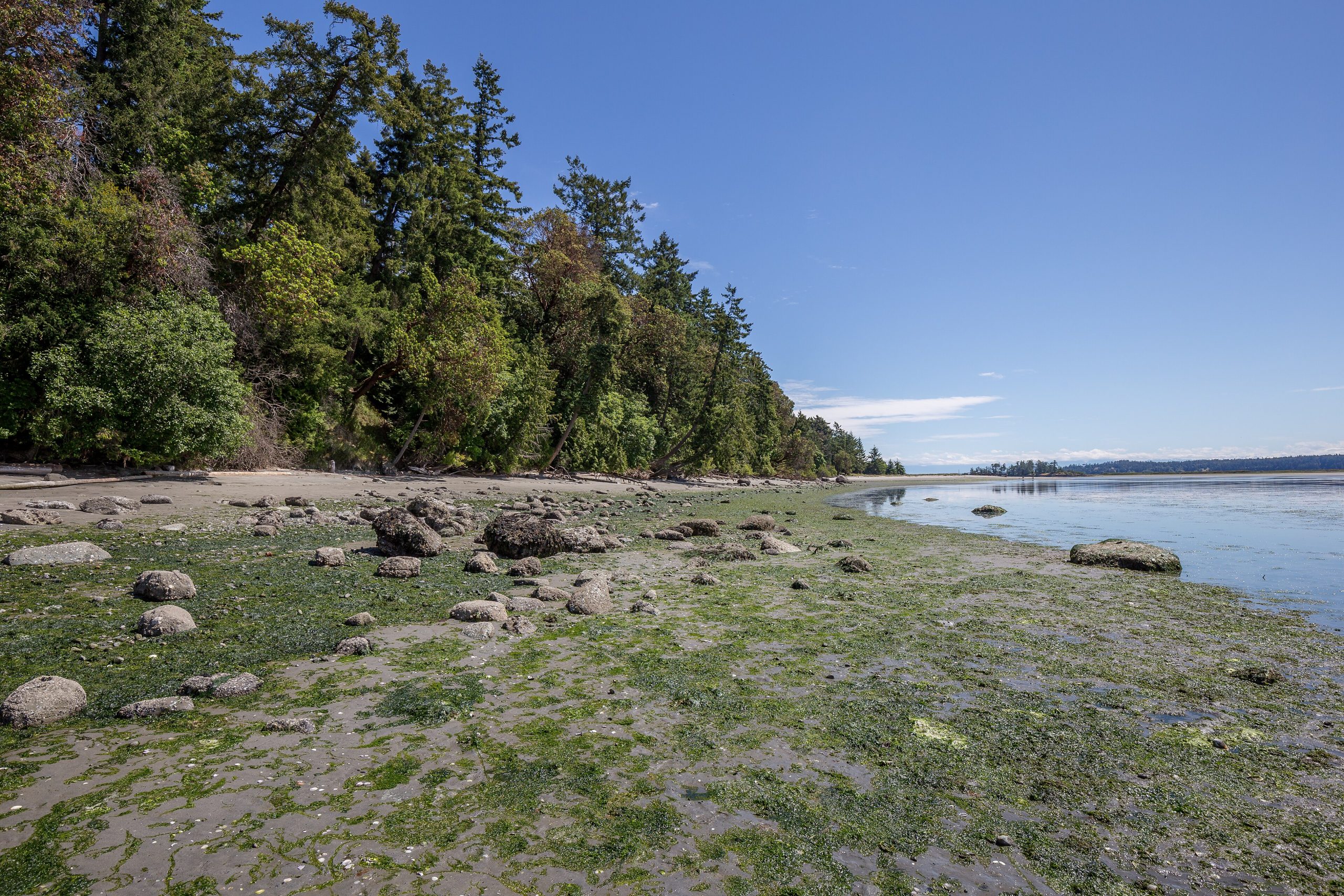
Gulf Islands National Park Reserve
Gulf Islands National Park Reserve protects a scattered archipelago in the Salish Sea between Vancouver Island and the mainland, a mosaic of forested islets, sandstone shorelines, quiet coves and one of Canada’s rarest ecosystems, the coastal Douglas-fir. It is a paddler’s and boater’s park, best explored by kayak among seals, eagles and the warm, sun-dappled Mediterranean feel of the southern coast.
Fast facts
- Established: 2003
- Size: about 14 square miles (36 km²) spread across 15+ islands and many islets and reefs
- Ecosystem: the endangered coastal Douglas-fir and Garry oak zone
- Setting: the southern Gulf Islands, Salish Sea, British Columbia
- Signature activity: sea kayaking and boat-in camping
- Managed by: Parks Canada
The landscape
The reserve is a patchwork rather than a single block, dozens of islands, headlands and reefs, many reachable only by water. Weathered sandstone shorelines, arbutus and Douglas-fir forest, meadows and tide pools give the islands a gentle, sun-warmed character, and the surrounding waters are rich with seals, sea lions, orcas, porpoises and seabirds.
Best time to go
Summer is the heart of the season, with the warmest, driest weather in the region and calm paddling days, though it is also the busiest, so reserve early. Late spring and early fall are quieter and still pleasant, while winter brings storms, rain and cold water that make travel a more serious proposition.
Getting there and around
Access is entirely by water. BC Ferries serves the larger islands, private boats and kayaks reach the smaller units, and a seasonal passenger ferry runs to spots like Sidney Spit. Once you are among the islands, you get around by boat or paddle; there is no road network linking the park’s pieces.
Things to do
Sea kayaking is the signature experience, island-hopping between coves and designated marine campsites. Boaters anchor in sheltered bays, hikers walk shoreline and forest trails on islands like Portland and Sidney, and wildlife watchers scan for orcas and eagles. Beachcombing the sandstone tide pools and simply soaking up the calm are as much the point as any itinerary.
Staying safe
These are cold, tidal waters with strong currents and busy boat and ferry traffic, so paddlers need real sea-kayak skills, a float plan, charts, a VHF radio and cold-water clothing. Marine weather changes fast. Check the forecast and marine conditions before crossing open water. Shoreline rock is slippery, and fresh water is scarce on the islands, so carry your own.
Know before you go
A Parks Canada pass is required, and most camping is at designated boat-access sites that should be reserved ahead in summer. Plan water, food and crossings around the tides and ferry schedules. This page is a general overview, not a live conditions report; always confirm current conditions, reservations and marine forecasts with Parks Canada before your trip.
- Coordinates
- 48.7172, -123.2364
- Magnetic declination
- 15.3° E (2026)
Set this declination on your compass, then align it to the map's north lines; it is the angle between true north and magnetic north, refreshed each year.
A spread of the park’s main places shows straight away, and the rest appear as you zoom in. You can also search above, or pick any place from the lists below, and the map will go to it.
On the trail 10
Campgrounds
Sights 45
Viewpoints
Waterfall
Beachs
Heritage site
Point of interests
Islands
Peaks
Map data comes from third-party sources and may be incomplete or out of date, so carry a current official map (terms).
- Best seasons
- Summer, Late spring & early fall
- Difficulty
- Easy to moderate
- Access / trailheads
- Scattered across the southern Gulf Islands in the Salish Sea, reached by BC Ferries, private boat or kayak; some units (like Sidney Spit) are served by seasonal passenger ferry.
- Water
- Fresh water is scarce or absent on many island sites. Carry all you need.
- Cell / satellite coverage
- Cell coverage is variable among the islands. Carry charts and a VHF radio for paddling.
- Nearest ranger / SAR / emergency
- Marine emergencies: Canadian Coast Guard (VHF 16); life-threatening emergencies: 911.
- Permits & regulations
- A Parks Canada pass is required; many campsites are boat-access and reservable, and backcountry/marine camping has designated sites and fees.
- Leave No Trace
- Camp only at designated sites, pack out all waste, respect sensitive shoreline ecosystems, and follow Leave No Trace.
January
February
March
April
May
June
July
August
September This month
October
November
December
What to bring depends on your trip: how long you’re out, where you sleep, and how far you go from the road. The planner builds the list for yours.
Plan a trip here →Averages for 1981–2010 from Environment Canada climate normals, measured at the Saanichton station, 9 miles (14 km) away at 200 feet (61 m).