

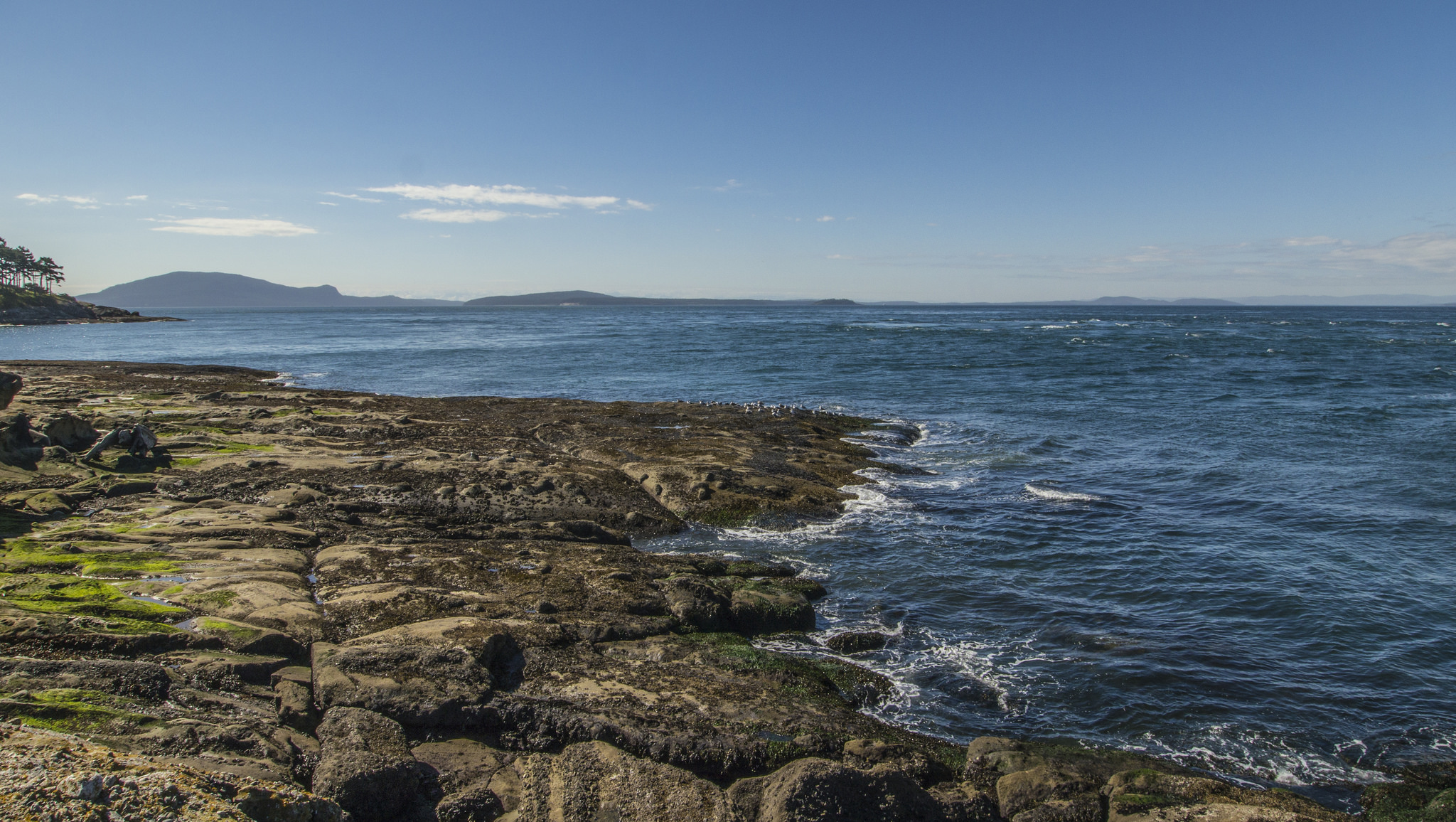
San Juan Islands National Monument
San Juan Islands National Monument is about 75 small pieces of public land scattered across the San Juan Islands of Washington, from rocky headlands and meadows on Lopez Island to two historic lighthouses on the outer islands. Short coastal walks reach them, with views across the water to British Columbia.
Fast facts
- Established: 2013
- Size: about 1,000 acres (4 km²) in some 75 parcels
- Largest area: Iceberg Point, Point Colville and Watmough Bay on Lopez Island, over half the monument
- Lighthouses: Patos Island and Turn Point (Stuart Island)
- Gateways: Anacortes, Friday Harbor and Lopez Village
- Managed by: the Bureau of Land Management
The landscape
The monument’s lands are rocky points, grassy balds, Garry oak woodland and small islands among the channels of the Salish Sea. Spring brings wildflowers to the meadows, and orcas, harbour seals and bald eagles are often seen from shore. The islands lie in the rain shadow of the Olympic Mountains, so they are drier and sunnier than much of western Washington.
Best time to go
Late spring for wildflowers and summer for the driest weather. Fall is quieter. Winter is mild but wet and windy on the exposed points.
Getting there and around
Washington State Ferries run from Anacortes to Lopez and San Juan islands. Iceberg Point and Watmough Bay are at the south end of Lopez, and Cattle Point is at the south tip of San Juan Island. The outer islands, including Patos and Stuart, are reached only by private boat or kayak.
Things to do
On Lopez Island, walk out to Iceberg Point across open meadows above the water, or take the short trail to the beach at Watmough Bay beneath its cliff. At Cattle Point on San Juan Island, a short walk leads to a lighthouse with views over the strait.
Kayakers and boaters reach the outer islands: Turn Point Light Station on Stuart Island and Patos Island Light Station at the north edge of the islands, both with trails from their landings.
Staying safe
The water is cold and currents in the channels are strong, so paddlers need experience and cold-water gear. Cliffs and bluffs are undercut in places; stay back from edges. Ferry schedules limit day trips, so plan your return.
Know before you go
There is no entrance fee. Many parcels have no facilities, and some are small islands closed to landing to protect wildlife. Ferries fill in summer, so reserve vehicle space where you can. This page is a general overview, not a live conditions report, so confirm access with the Bureau of Land Management before you go.
- Coordinates
- 48.6000, -123.0000
- Magnetic declination
- 15.2° E (2026)
Set this declination on your compass, then align it to the map's north lines; it is the angle between true north and magnetic north, refreshed each year.
How declination works, and how to navigate with a map and compass
A spread of the park’s main places shows straight away, and the rest appear as you zoom in. You can also search above, or pick any place from the lists below, and the map will go to it. Places in bold, marked , have a short description.
Sights 8
Viewpoint
Heritage sites
Points of interest
Islands
Peak
Map data comes from third-party sources and may be incomplete or out of date, so carry a current official map (terms).
Looking for one of these closer to home?Destinations near me by trip type →
- Best seasons
- Late spring, Summer
- Difficulty
- Easy (sea kayaking to the outer islands needs experience)
- Access / trailheads
- Washington State Ferries from Anacortes to Lopez and San Juan islands; outer islands by private boat or kayak.
- Water
- None at most parcels; bring your own.
- Cell / satellite coverage
- Good on the main islands; patchy on the outer islands.
- Nearest ranger / SAR / emergency
- Emergencies: 911, or US Coast Guard on VHF channel 16. BLM: 509-220-5976.
- Permits & regulations
- No entrance fee. Some small islands closed to landing to protect wildlife.
- Leave No Trace
- Stay on trails across fragile meadows, keep well away from seal haul-outs and nesting birds, and pack out everything.
January
February
March
April
May
June
July
August
September
October This month
November
December
What to bring depends on your trip: how long you’re out, where you sleep, and how far you go from the road. The planner builds the list for yours.
Plan a trip here →Averages for 1991–2020 from NOAA U.S. Climate Normals, measured at the Friday Harbor Airport station, 6 miles (9 km)9 km (6 miles) away at 112 feet (34 m)34 m (112 feet). Higher trails run colder, by about 3.5°F for every 1,000 ft (2°C per 300 m)2°C for every 300 m (3.5°F per 1,000 ft) of climb. Daylight runs from sunrise to sunset on the 15th, on the park’s own clock, for a level horizon. Valleys and slopes facing away from the sun are in shade earlier.
Nearby parks
-
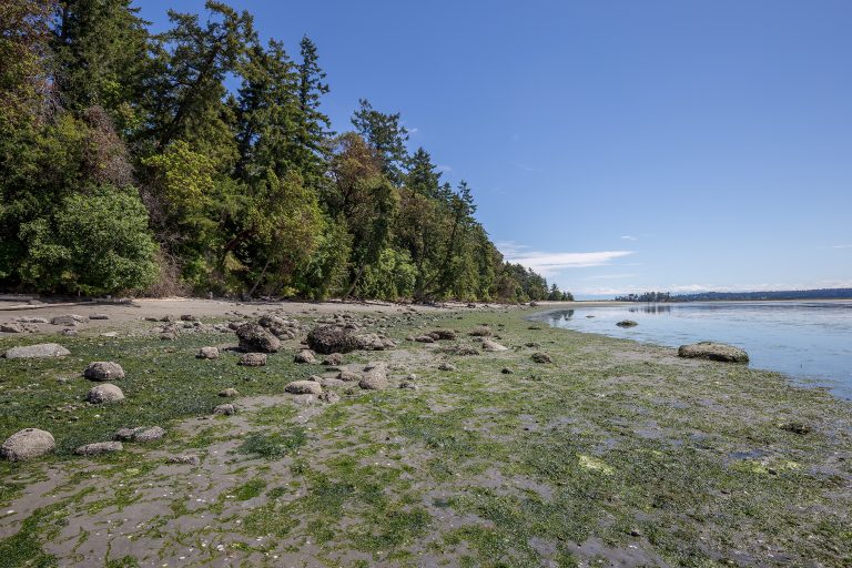 Gulf Islands National Park Reserve
Rocky shores, arbutus and Garry oak on islands in BC's southern Salish Sea, reached by ferry or kayak from Vancouver and Victoria.
-
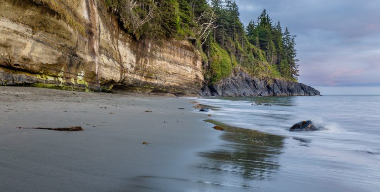 Juan de Fuca Provincial Park
A 29-mile (47 km) coastal trail west of Victoria: beaches, surge channels and tide pools, with floats marking the way.
-
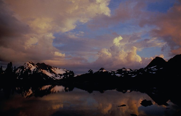 Olympic National Park
Three parks in one on Washington's Olympic Peninsula: glaciated peaks, the Hoh Rainforest and 70 miles (110 km) of wild Pacific coast.
-
 Golden Ears Provincial Park
Rugged Coast Mountain peaks and Alouette Lake on the edge of Metro Vancouver, with a summit climb that tests the unprepared.
Straight-line distance between park centres. Road distance is usually longer.
Looking for somewhere closer to home?
See every park and monument within a day’s drive of where you are.