

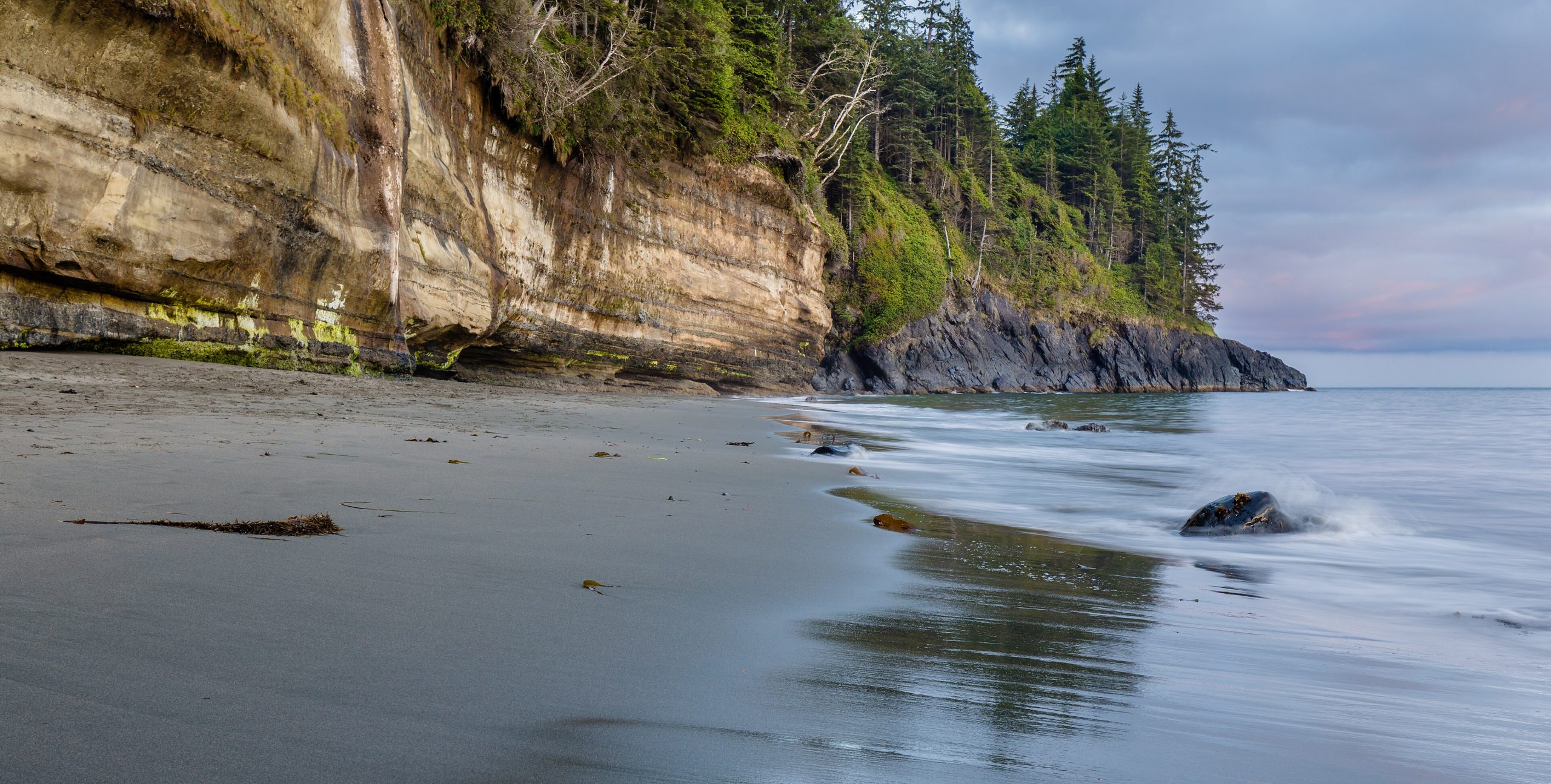
Juan de Fuca Provincial Park
Fast facts
- Established: 1996
- Signature route: the Juan de Fuca Marine Trail, 29 miles (47 km) from China Beach to Botanical Beach
- Trailheads: China Beach, Sombrio Beach, Parkinson Creek and Botanical Beach
- Gateway: Sooke and Port Renfrew, west of Victoria
- Managed by: BC Parks
The landscape
Juan de Fuca Park strings along the rugged southwest shore of Vancouver Island, facing the Strait of Juan de Fuca and the Olympic Mountains. The trail alternates between old-growth forest on the bluffs and sand, cobble and sandstone beaches below, crossing creeks, estuaries and ravines. Botanical Beach, at the west end, is known for its tide pools. Black bears and cougars live here, and grey whales pass offshore.
Best time to go
Summer brings the driest weather and the busiest trail. Late spring and early fall are quieter, with more rain. Winter storms bring big surf, heavy rain and fallen trees, and storms can close parts of the trail, so off-season trips are for experienced hikers only.
Getting there and around
Highway 14 follows the coast west from Sooke to Port Renfrew, with four trailheads along the way, so hikers can do sections as day trips or the whole trail over several days. China Beach has a vehicle-accessible campground; the other campsites are on beaches along the trail.
Things to do
The full trail usually takes four days and is rated for experienced backpackers, though the stretches near China Beach, Sombrio and Botanical Beach make good day hikes. At Botanical Beach, low tide exposes sandstone shelves full of tide pools. Sombrio Beach has a hidden waterfall in a slot canyon, and Mystic Beach a waterfall onto the sand.
Staying safe
Beaches can be cut off by high tides and storms. Check the tide table for Port Renfrew before you set out, and watch for the orange floats that mark exits from the beach to the trail. Rough surf, rogue waves and strong currents make swimming unwise. Mud, steep slopes and slippery roots slow progress, so plan conservative days. Make noise on the trail for bears and cougars, and leave a trip plan.
Know before you go
Overnight hikers must register for a backcountry permit, and storms can close trail sections. This page is a general overview, not a live conditions report, so check BC Parks advisories and the tide tables before you go.
- Coordinates
- 48.4864, -124.2681
- Magnetic declination
- 15.4° E (2026)
Set this declination on your compass, then align it to the map's north lines; it is the angle between true north and magnetic north, refreshed each year.
How declination works, and how to navigate with a map and compass
A spread of the park’s main places shows straight away, and the rest appear as you zoom in. You can also search above, or pick any place from the lists below, and the map will go to it. Places in bold, marked , have a short description.
On the trail 15
Trailheads
Route
Campgrounds
Hut or shelter
Sights 6
Viewpoint
Beaches
Island
Map data comes from third-party sources and may be incomplete or out of date, so carry a current official map (terms).
Looking for one of these closer to home?Destinations near me by trip type →
- Best seasons
- Summer, Early fall
- Difficulty
- Easy to strenuous
- Access / trailheads
- Highway 14 (the West Coast Road) from Sooke runs past the trailheads at China Beach, Sombrio Beach, Parkinson Creek and Botanical Beach near Port Renfrew.
- Water
- Creeks along the trail; treat all water.
- Cell / satellite coverage
- Patchy at best on the trail. Carry a satellite messenger.
- Nearest ranger / SAR / emergency
- Emergencies: 911 (RCMP and Canadian Coast Guard coordinate coastal rescue).
- Permits & regulations
- Overnight use of the Juan de Fuca Marine Trail needs backcountry permit registration. Harvesting shellfish and all marine life is illegal in the park.
- Leave No Trace
- Camp in designated areas, use the food caches, leave tide pools untouched and pack out all waste.
January
February
March
April
May
June
July
August
September
October This month
November
December
What to bring depends on your trip: how long you’re out, where you sleep, and how far you go from the road. The planner builds the list for yours.
Plan a trip here →Averages for 1981–2010 from Environment Canada climate normals, measured at the Port Renfrew station, 8 miles (13 km)13 km (8 miles) away at 33 feet (10 m)10 m (33 feet). Higher trails run colder, by about 3.5°F for every 1,000 ft (2°C per 300 m)2°C for every 300 m (3.5°F per 1,000 ft) of climb. Daylight runs from sunrise to sunset on the 15th, on the park’s own clock, for a level horizon. Valleys and slopes facing away from the sun are in shade earlier.
Nearby parks
-
 Olympic National Park
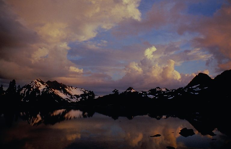
Three parks in one on Washington's Olympic Peninsula: glaciated peaks, the Hoh Rainforest and 70 miles (110 km) of wild Pacific coast.
-
 Pacific Rim National Park Reserve
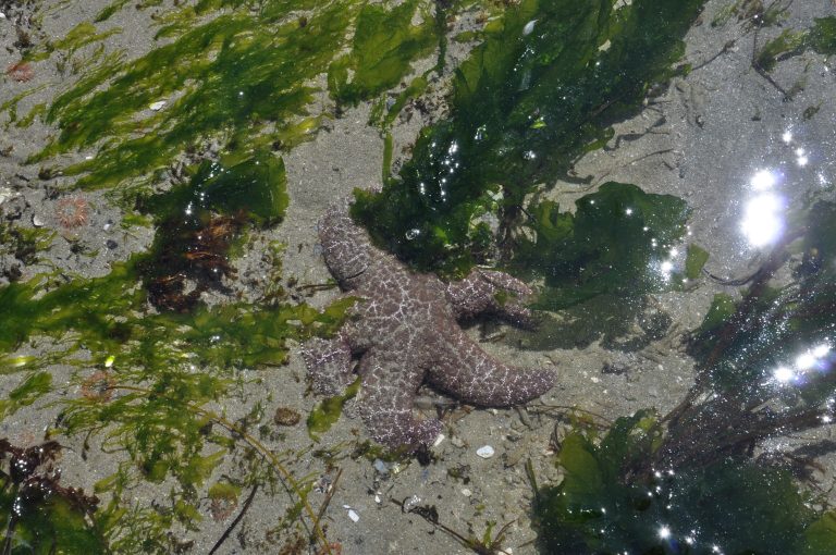
Surf at Long Beach, the West Coast Trail and the Broken Group Islands on Vancouver Island's west coast, near Tofino and Ucluelet.
-
 Gulf Islands National Park Reserve
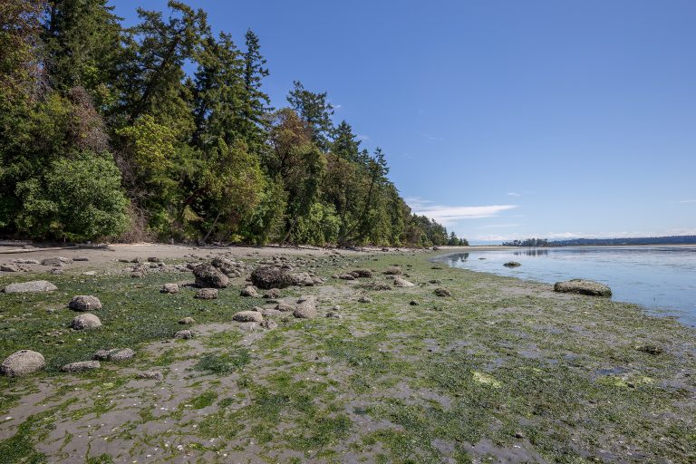
Rocky shores, arbutus and Garry oak on islands in BC's southern Salish Sea, reached by ferry or kayak from Vancouver and Victoria.
-
 San Juan Islands National Monument
Headlands, meadows and two lighthouses scattered across Washington’s San Juan Islands, a ferry ride from British Columbia.
Straight-line distance between park centres. Road distance is usually longer.
Looking for somewhere closer to home?
See every park and monument within a day’s drive of where you are.