

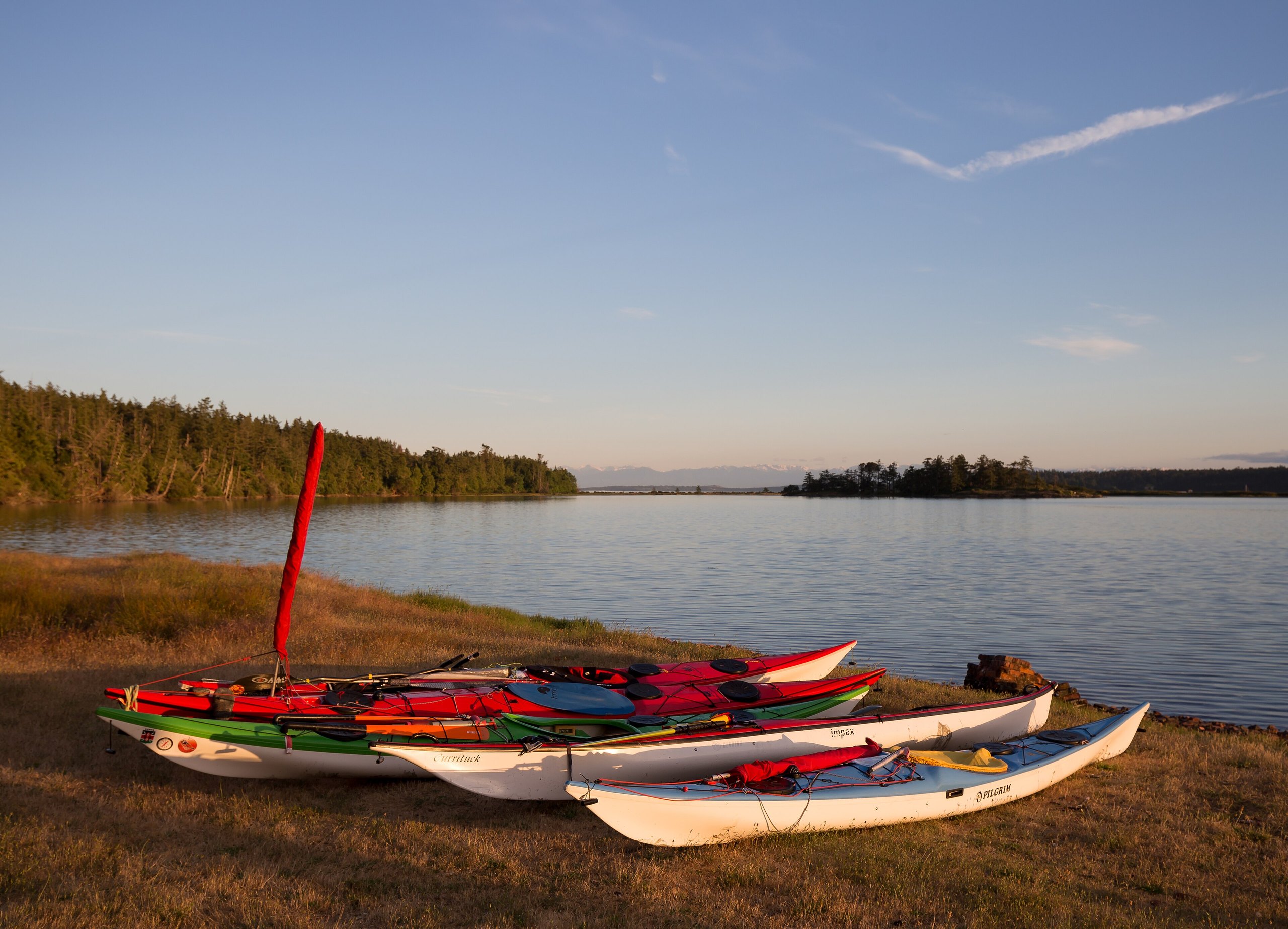
Top 9 things to do in Gulf Islands National Park Reserve
Gulf Islands National Park Reserve is scattered across the southern Gulf Islands of British Columbia, in the Salish Sea between Vancouver Island and the mainland: pieces of more than 15 islands, with many small islets and reefs and the water around them. It protects one of the rarest landscapes in Canada, the dry coastal forest of Douglas fir, red-barked arbutus and Garry oak meadows, along with sandstone shores sculpted by the waves, and waters where orcas, seals and sea lions feed. There is no road between its pieces: you reach them by ferry, by boat or by kayak. These are the nine outings we would put first. The order starts with what the park is known for, then goes by what an outing gives back for the time and effort it takes. Distances are approximate; times are our estimates and do not include stops.
Strong tidal currents run through the passes between the islands, BC Ferries traffic is heavy in some channels, and the water is cold all year: paddle only with experience or a guide, and plan crossings around the tides and the wind. Canadian law requires boats and kayaks to stay at least 400 metres (a quarter mile) from killer whales in these waters. Most of the park’s campsites have no drinking water, so bring your own, and keep food away from the raccoons and mink.
1. Take the passenger ferry to Sidney Spit
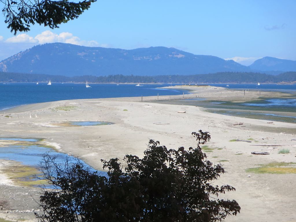
At the north end of Sidney Island, a long, curving spit of white sand reaches out into the sea, with a sheltered lagoon behind it, driftwood along its beaches and a forest of Douglas fir and arbutus inland. In summer a passenger ferry runs across from the town of Sidney, so it is the easiest part of the park to reach without a boat. Trails lead around the island’s north end, past the site of an early 1900s brick works, and the campground makes it a good first night of camping on the islands.
- Allow: half a day to a night
- Start: Sidney, on Vancouver Island, by passenger ferry
- When: summer, while the ferry runs
- Suits: everyone
2. Watch for orcas at East Point
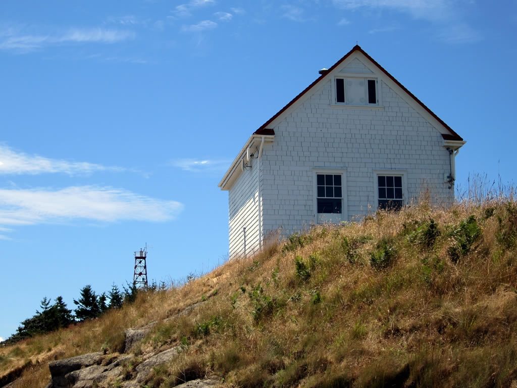
At the eastern tip of Saturna Island, the East Point light station looks out over Boundary Pass, where the currents gather fish and the orcas follow them, close to shore. It is one of the best places in the Gulf Islands to see killer whales from land, as well as seals, sea lions and seabirds. The rock below is sandstone carved by the waves into honeycomb hollows, and the restored 1938 fog alarm building holds a small museum in summer.
- Allow: 1 to 2 hours, or longer if you wait for whales
- Start: East Point, at the end of East Point Road on Saturna Island
- When: all year; summer and early fall for the best chance of orcas
- Suits: everyone
3. Paddle among the islands
The park is at its best from a kayak, threading among the islands past sandstone shores and kelp beds, with seals watching from the rocks and bald eagles overhead. Outfitters on Salt Spring, the Penders and in Sidney rent kayaks and run guided trips, and paddlers can spend several days moving between the park’s marine campsites on the islands. The currents in the passes are strong, so learn the tides or go with a guide.
- Allow: half a day to several days
- Start: Sidney, Salt Spring Island or the Pender Islands
- When: May to September, on calm days
- Suits: beginners with a guide; experienced sea kayakers on their own
4. Climb Mount Norman on Pender Island
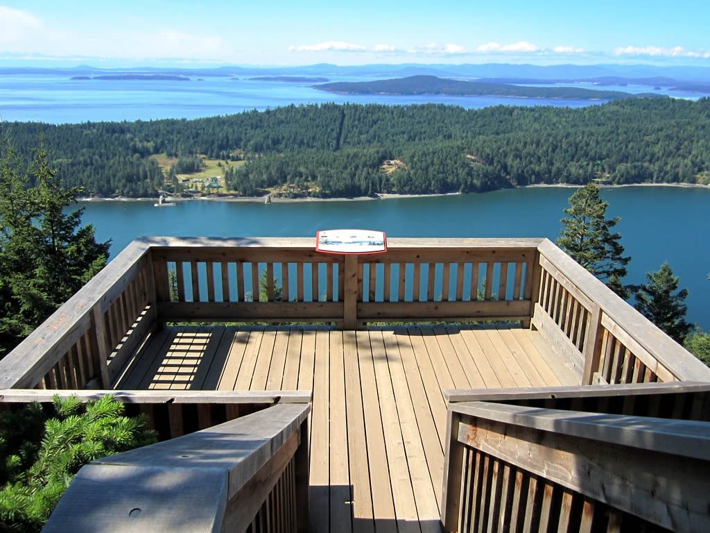
The highest point on the Pender Islands, Mount Norman rises about 800 feet (244 m) above the sea. Two steep trails climb through second-growth forest to a wooden viewing platform at the top, with a wide view over the islands and channels of the park toward the mountains of Vancouver Island and, on a clear day, the Olympic Mountains. A longer trail continues down to the shore at Beaumont, on Bedwell Harbour.
- Distance: about 1 mile (1.5 km) each way
- Climb: about 650 feet (200 m) from Ainslie Point Road
- Allow: 2 hours round trip
- Start: the trailheads on Canal Road or Ainslie Point Road, South Pender Island
- When: all year
- Suits: fit walkers
5. Walk around Portland Island
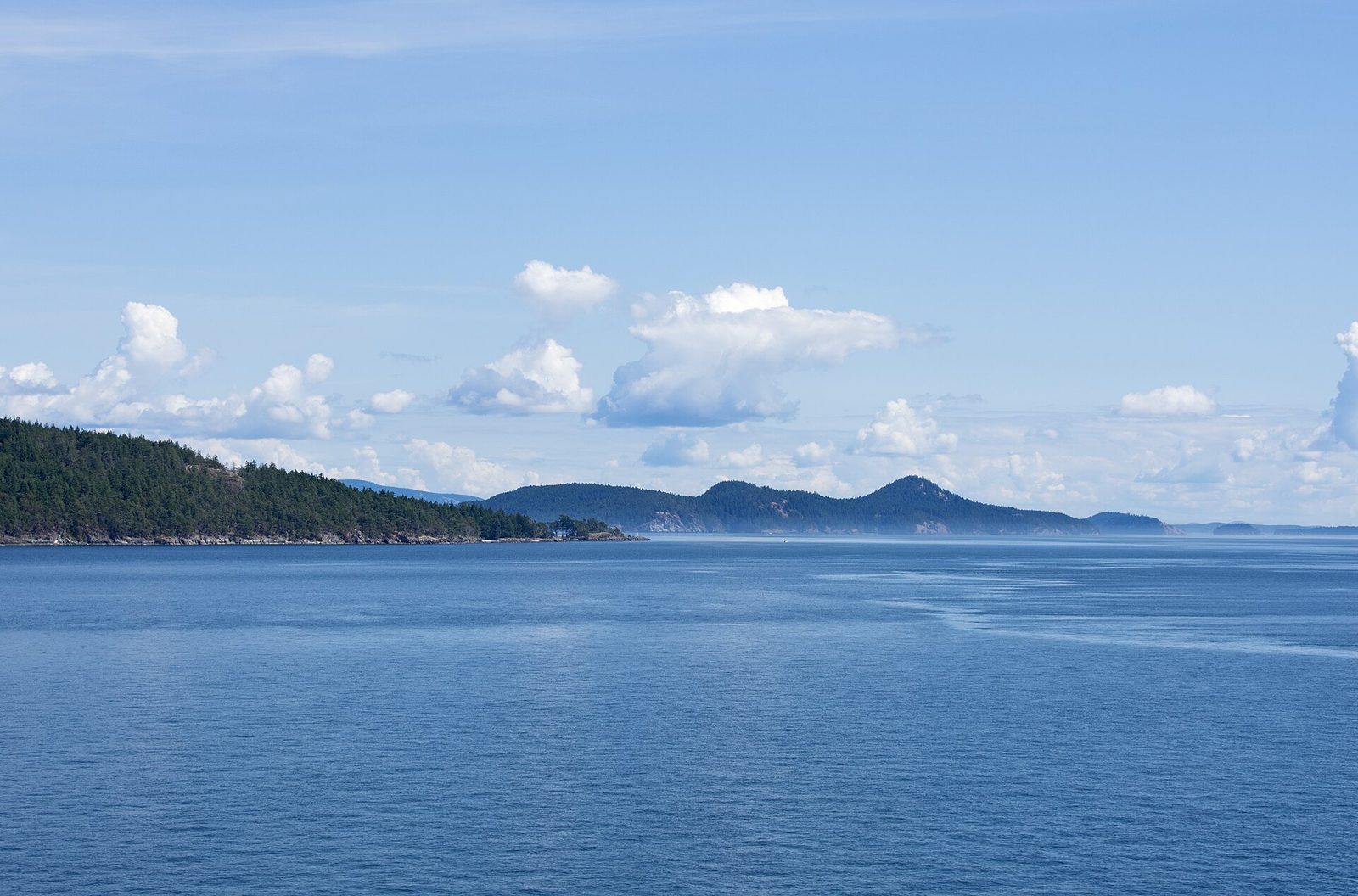
Off the southern tip of Salt Spring Island, Portland Island has no roads and no residents: a trail follows its shoreline past white shell beaches, arbutus groves, old orchards and quiet coves, and it has three campsites. Given to Princess Margaret in 1958, the island was returned by her in 1967 to become a park. It is reached by kayak or private boat, and is a short paddle from the coast near Swartz Bay for experienced paddlers.
- Distance: about 4 miles (6.5 km) around the island
- Allow: 3 hours, or a night
- Start: by kayak or private boat
- When: May to September
- Suits: paddlers and boaters
6. Walk the shore at Winter Cove
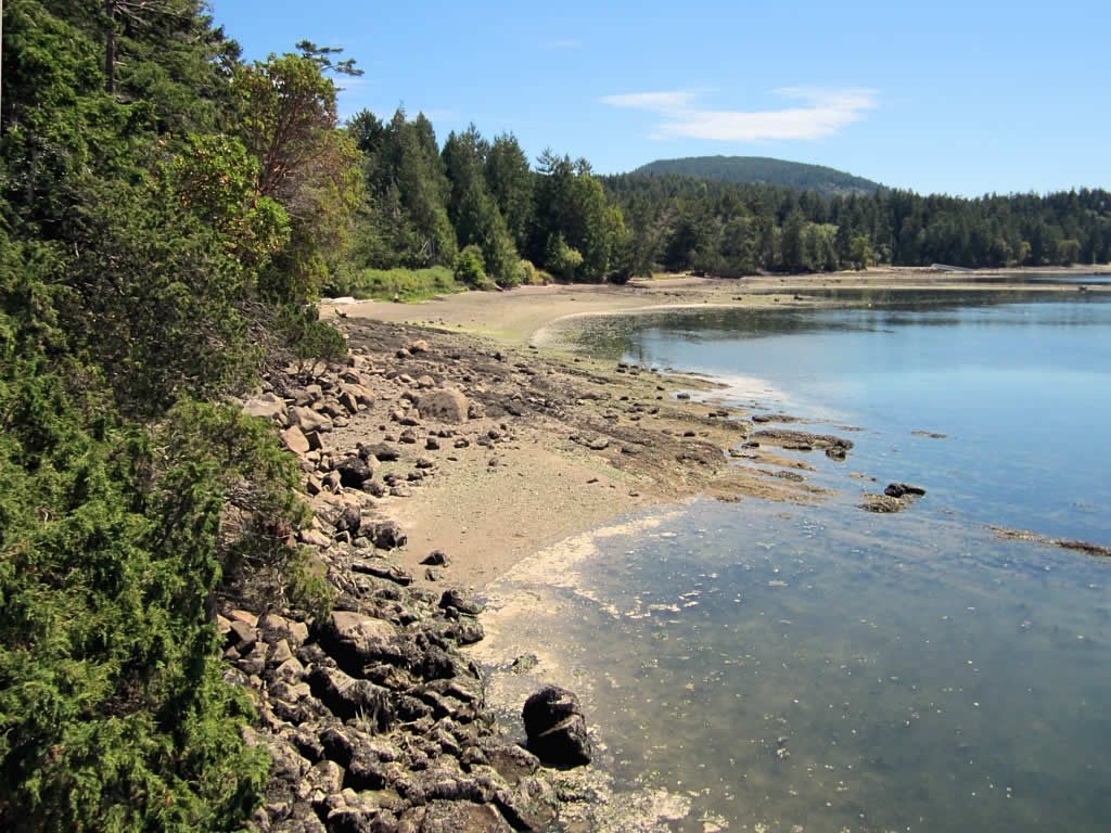
On the north side of Saturna Island, a gentle trail loops through forest and along the shore of Winter Cove, a sheltered bay, to a lookout over Boat Passage, the narrow channel between Saturna and Samuel Island where the tide pours through like a river at its peak flow. It is an easy walk, with picnic tables by the water.
- Distance: about 1 mile (1.5 km) loop
- Allow: 30 minutes
- Start: Winter Cove, off Winter Cove Road on Saturna Island
- When: all year
- Suits: everyone
7. Hike to Narvaez Bay and Monarch Head
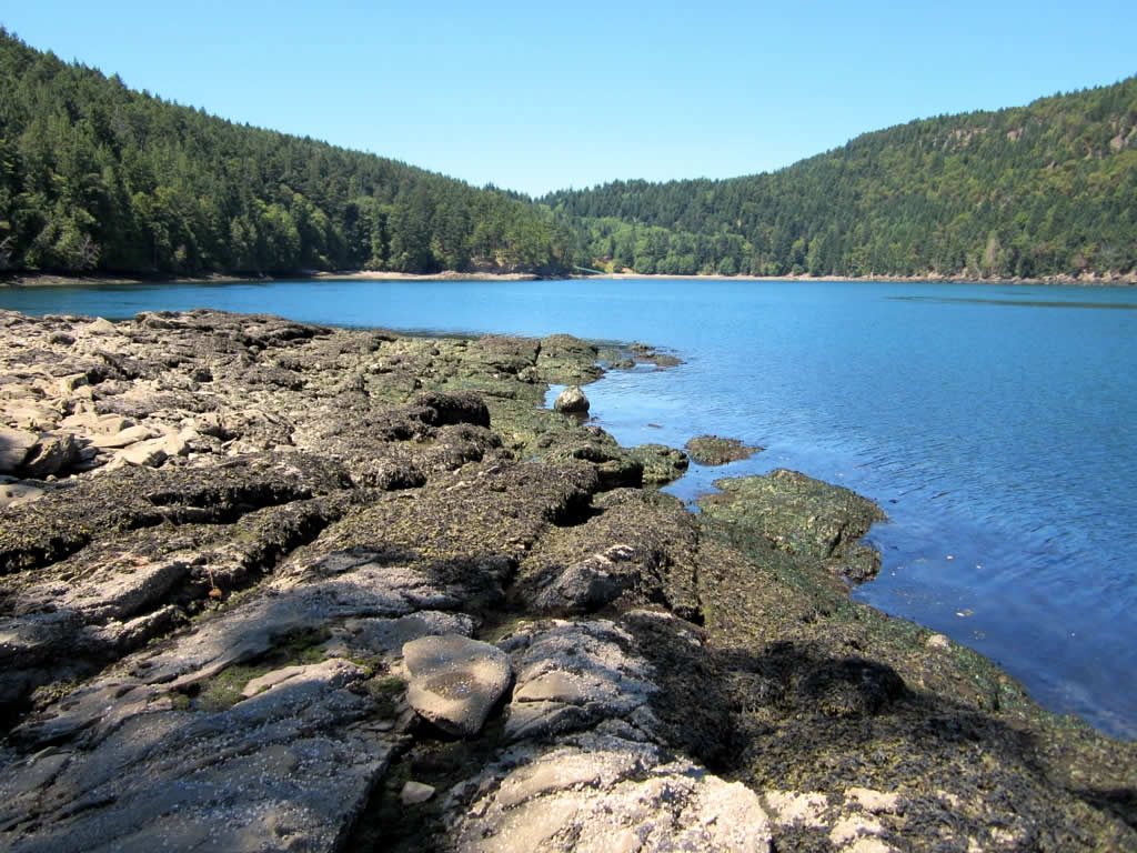
On Saturna’s southeast shore, Narvaez Bay is a long, narrow inlet lined with sandstone and arbutus, one of the quietest corners of the park. A trail of about a mile (1.7 km) leads from the end of the road down to the water and a walk-in campground, and a steeper loop climbs to the bluffs of Monarch Head, with a view across Boundary Pass to the San Juan Islands and Mount Baker.
- Allow: 2 to 3 hours with Monarch Head, or a night at the campground
- Start: the end of Narvaez Bay Road, Saturna Island
- When: all year
- Suits: most walkers
8. Visit the Mahoi House on Russell Island
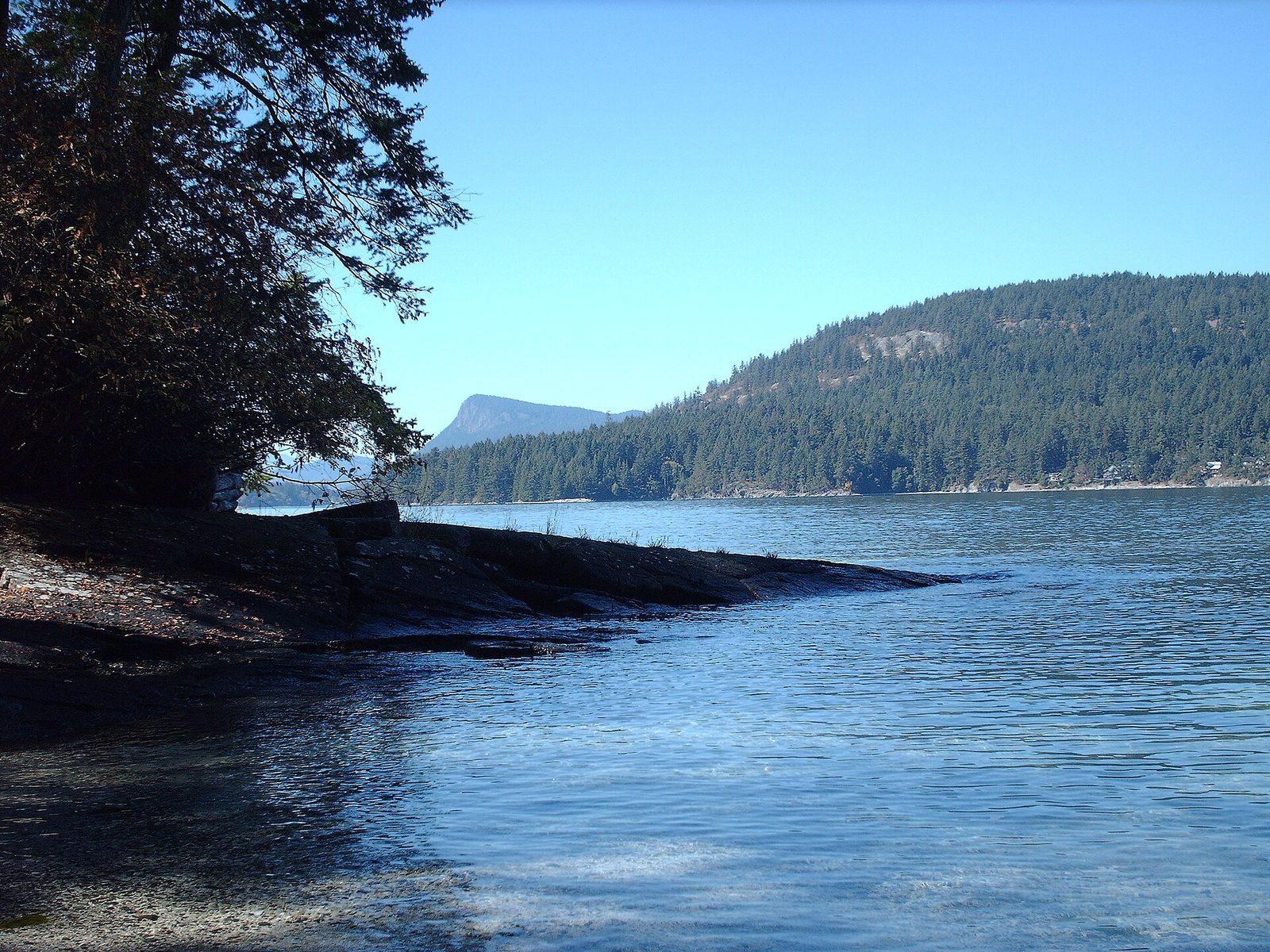
Russell Island, a small island at the mouth of Fulford Harbour, off Salt Spring, passed in 1901 to Maria Mahoi, the daughter of a Hawaiian father and a First Nations mother, part of the community of Hawaiians who came to the coast with the fur trade. The farmhouse her family built in the early 1900s still stands among the old fruit trees, Mahoi descendants share its stories with visitors, and a short trail circles the island through Garry oak meadows and along its shell beaches.
- Distance: about 0.6 mile (1 km) loop
- Allow: 1 to 2 hours
- Start: by kayak or private boat from Fulford Harbour, Salt Spring Island
- When: May to September
- Suits: everyone who can get there by water
9. Explore Tumbo and Cabbage islands
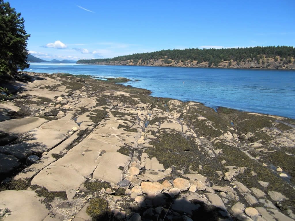
Off the northeast tip of Saturna, Tumbo Island has about 2.2 miles (3.5 km) of trails through forest and open meadows to sandstone shores facing the open Strait of Georgia. Small Cabbage Island beside it has a sandy beach and a campground, a favourite stop for paddlers, and the reefs around both are good places to see seals and seabirds.
- Distance: about 2.2 miles (3.5 km) of trails on Tumbo Island
- Allow: half a day, or a night on Cabbage Island
- Start: by kayak or private boat from Saturna Island
- When: May to September
- Suits: experienced paddlers and boaters
Before you go
This list covers what stays the same from year to year. Closures, ferry schedules, campsite reservations and fire bans change, and Parks Canada posts them on its own site. The link is on our Gulf Islands National Park Reserve guide, with the map and how to get there.