
Table Rock State Park
A granite dome above the Cherokee Foothills Scenic Highway, with a tough summit climb and the 76-mile (122 km) Foothills Trail.

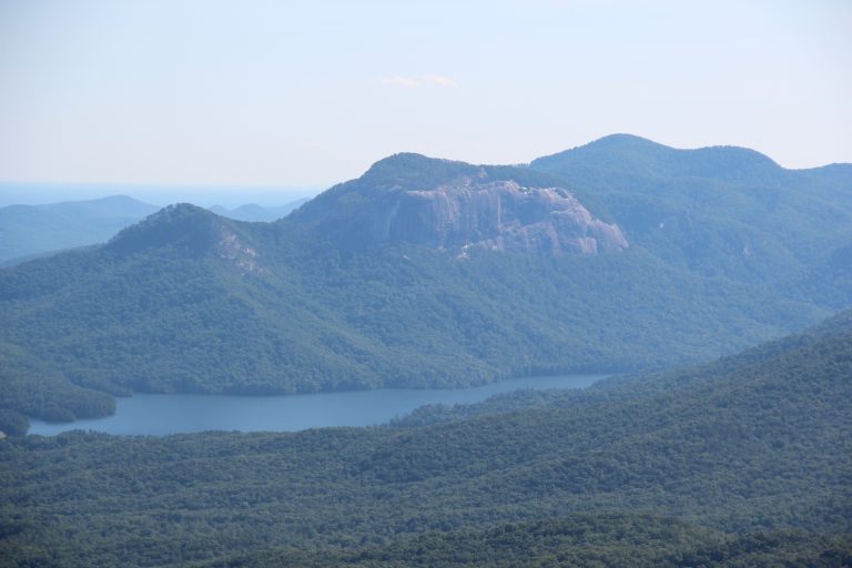
A granite dome above the Cherokee Foothills Scenic Highway, with a tough summit climb and the 76-mile (122 km) Foothills Trail.
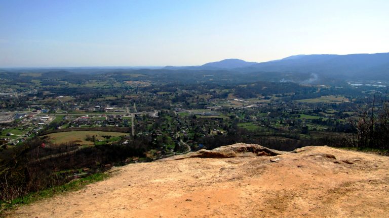
Tennessee’s linear state park: a long footpath along the Cumberland Plateau through gorges, waterfalls and rock houses.
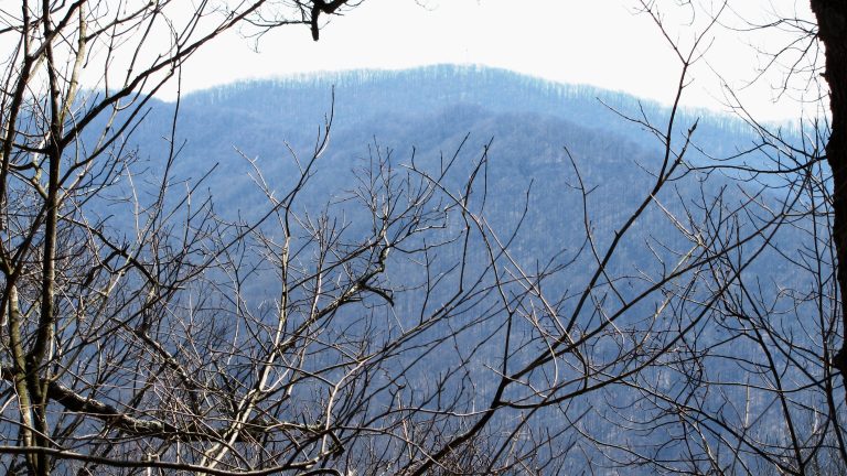
24,000 acres (97 km²) of rugged Cumberland Mountains wilderness, with a lookout tower on a peak often rimmed with ice.
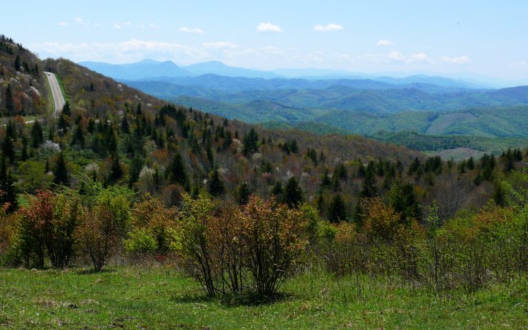
Wild ponies on open balds above 5,000 feet (1,520 m), next to Mount Rogers, Virginia’s highest peak, on the AT.
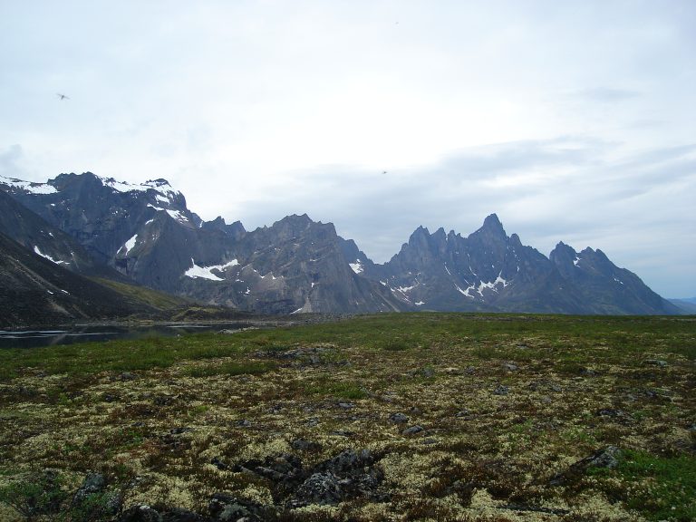
Jagged granite peaks and tundra valleys on the Dempster Highway north of Dawson City, the Yukon’s signature backpacking park.
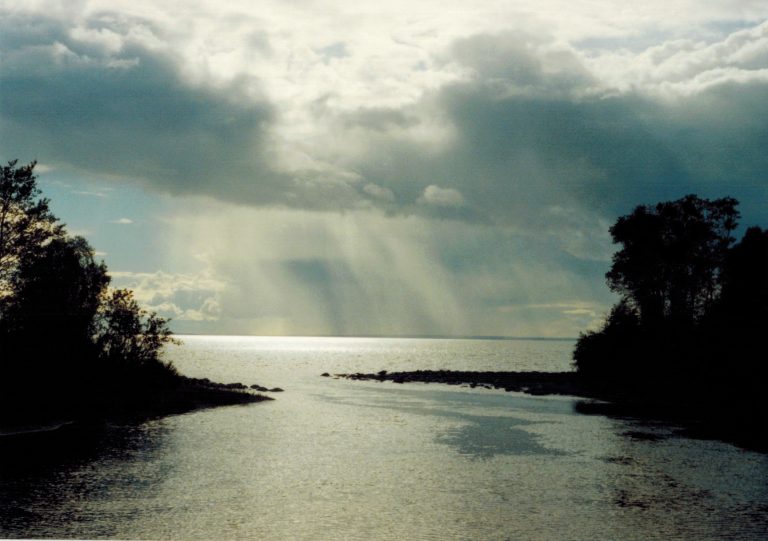
Saskatchewan’s long-distance backpacking route: the 84-mile (135 km) Boreal Trail through a string of lakes and rivers.
A Canadian Heritage River of canyons, waterfalls and Class 4 rapids in Saskatchewan’s far north, for skilled whitewater paddlers.
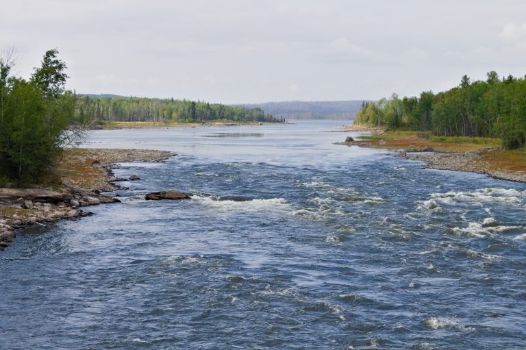
Close to 100 lakes and more than 30 fur-trade canoe routes on the Churchill River system, including Saskatchewan’s highest falls.
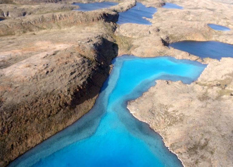
The place of waterfalls on Baffin Island: an Arctic river trip down the Soper, or a 75-mile (120 km) trail overland.
1,100 square miles (2,850 km²) of ponds, barrens and caribou range in central Newfoundland, with no roads or trails.