

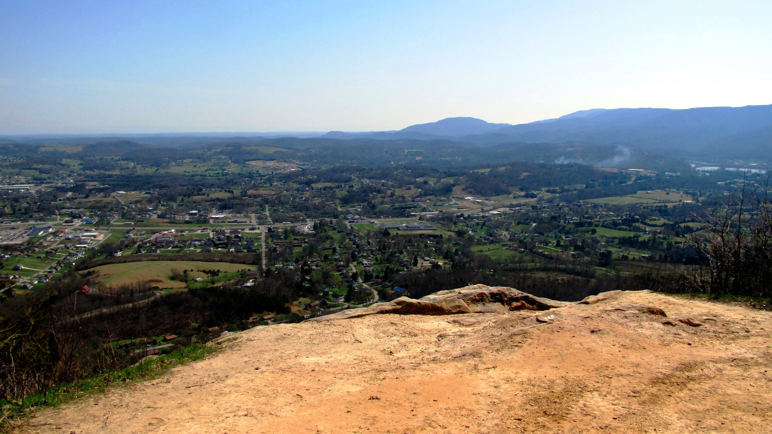
Cumberland Trail State Park
Fast facts
- Size: more than 40,000 acres (162 km²), in a linear park
- Trail: the Justin P. Wilson Cumberland Trail, planned to run more than 300 miles (480 km) along the plateau
- Setting: the eastern escarpment of the Cumberland Plateau, from Signal Mountain toward Cumberland Gap
- Gateway: Chattanooga, Crossville and Caryville
- Managed by: Tennessee State Parks
The landscape
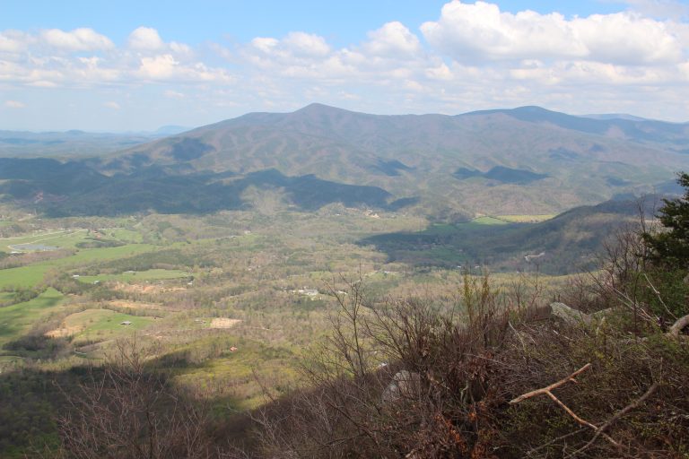
The Cumberland Trail follows the rugged eastern edge of the Cumberland Plateau, through deep gorges, over ridges and past waterfalls, rock houses and sandstone formations. Hardwood and hemlock forest covers most of the route. Black bears, deer and many salamanders live along the way.
Best time to go
Spring and fall are the best seasons, with waterfalls strongest in spring. Summer is hot and humid. Winter hiking is good between cold snaps.
Getting there and around
The trail is divided into segments, each with its own trailheads, so it is usually hiked in sections. Some segments are remote, with long drives on back roads to reach them.
Things to do
Hikers pick segments for day hikes or overnight trips, such as the gorges near Soddy-Daisy or the Obed River area. Long-distance hikers can link segments for multi-day trips.
Staying safe
The trail is steep, uneven and remote in places. Streams can flood quickly. Carry water, since some sections are dry, and watch for snakes. Check closures for each segment, and leave a trip plan.
Know before you go
All caves on park lands are closed to protect bats from white-nose syndrome. This page is a general overview, not a live conditions report, so confirm segment status with Tennessee State Parks before you go.
- Coordinates
- 36.3000, -84.2200
- Magnetic declination
- 6.0° W (2026)
Set this declination on your compass, then align it to the map's north lines; it is the angle between true north and magnetic north, refreshed each year.
How declination works, and how to navigate with a map and compass
A spread of the park’s main places shows straight away, and the rest appear as you zoom in. You can also search above, or pick any place from the lists below, and the map will go to it. Places in bold, marked , have a short description.
Sights 3
Viewpoint
Waterfalls
Map data comes from third-party sources and may be incomplete or out of date, so carry a current official map (terms).
Looking for one of these closer to home?Destinations near me by trip type →
- Best seasons
- Spring, Fall (foliage), Winter
- Difficulty
- Moderate to strenuous
- Access / trailheads
- Many trailheads along the Cumberland Plateau from Signal Mountain near Chattanooga north toward Cumberland Gap; the park office is near Caryville.
- Water
- Streams; treat all water. Some ridge sections are dry.
- Cell / satellite coverage
- Patchy; none in many gorges.
- Nearest ranger / SAR / emergency
- Emergencies: 911.
- Permits & regulations
- Check with the park for backcountry camping rules on each section. All caves on Cumberland Trail lands are closed because of white-nose syndrome.
- Leave No Trace
- Camp only where allowed, stay out of closed caves, and pack out all waste.
Nearby parks
-
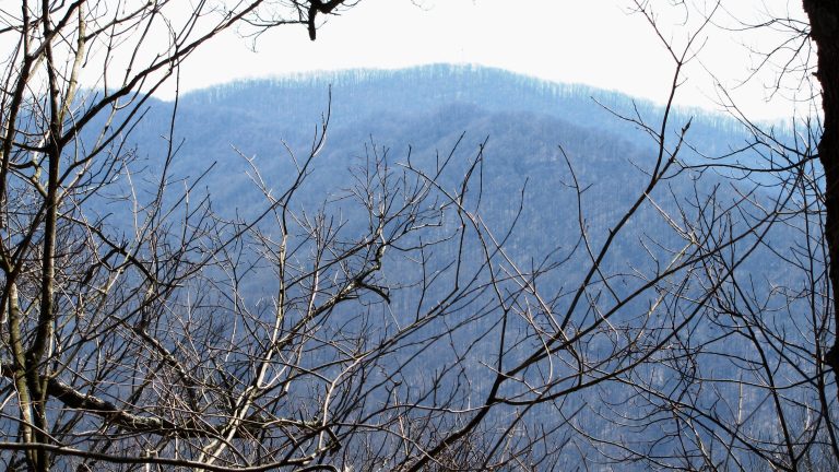 Frozen Head State Park
24,000 acres (97 km²) of rugged Cumberland Mountains wilderness, with a lookout tower on a peak often rimmed with ice.
-
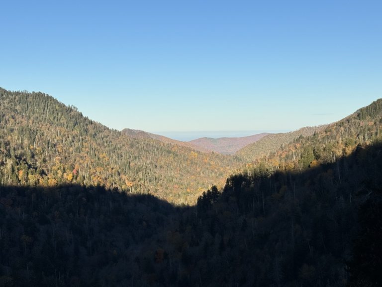 Great Smoky Mountains National Park
The most visited U.S. national park: misty Appalachian ridges, old-growth forest, black bears and the Appalachian Trail.
-
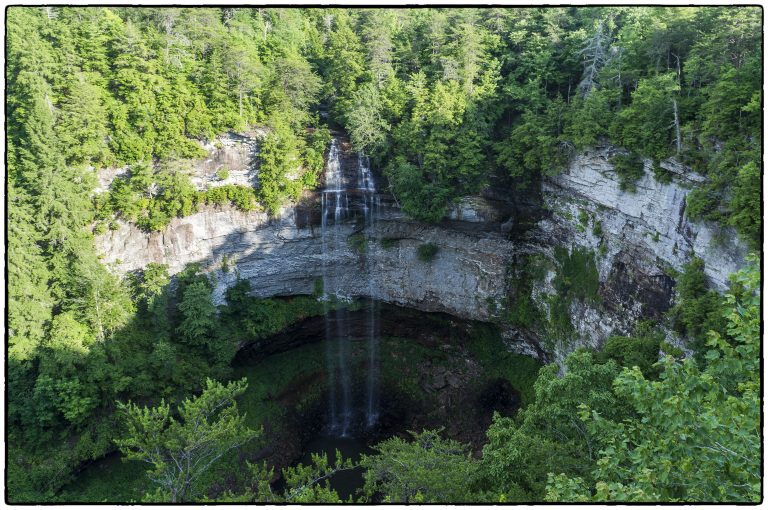 Fall Creek Falls State Park
Tennessee's highest waterfall, a 256-foot (78 m) plunge into a gorge on the Cumberland Plateau, with backcountry loops.
-
 Fort Mountain State Park
A mysterious 855-foot (261 m) stone wall, a CCC fire tower and 60 miles (97 km) of trail by the Cohutta Wilderness.
Straight-line distance between park centres. Road distance is usually longer.
Looking for somewhere closer to home?
See every park and monument within a day’s drive of where you are.