

Katannilik Territorial Park Reserve
Fast facts
- Name: Katannilik means “the place of waterfalls”
- River: the Soper (Kuujjuaq), a Canadian Heritage River, navigable for about 31 miles (50 km)
- Trail: the Itijjagiaq Trail, about 75 miles (120 km) from Frobisher Bay to Kimmirut
- Location: the Meta Incognita Peninsula of Baffin Island
- Gateway: Kimmirut or Iqaluit
- Managed by: Nunavut Parks
The landscape
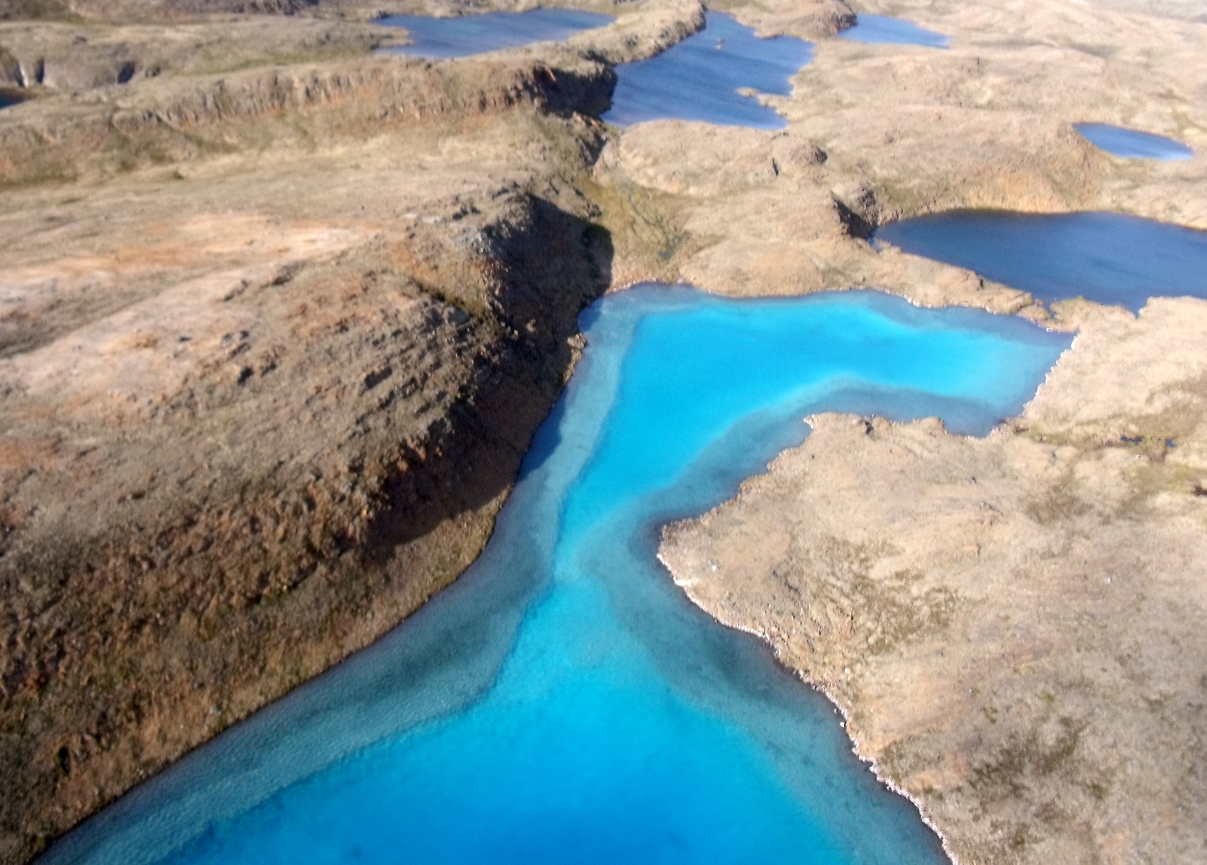
Katannilik stretches across the Meta Incognita Peninsula from Frobisher Bay to Kimmirut on Hudson Strait. Waterfalls pour down the walls of the Soper River valley, which is sheltered and warmer than the land around it, so willows grow over 6 feet (2 m) tall. Reversing falls at Soper Lake flow uphill at high tide. Caribou trails cross the tundra, and the area has been an Inuit travel route and hunting ground for centuries, with evidence of Dorset people 4,000 years ago.
Best time to go
The Soper River is paddled in July and August, when it is free of ice. Spring, from March to May, brings long days for skiing, dog sledding and snowmobiling on the Itijjagiaq Trail. Weather can turn cold and stormy in any month.
Getting there and around
Visitors fly to Iqaluit, then on to Kimmirut or by charter to the upper Soper River. Paddlers float down the river to Kimmirut, a trip of several days. Skiers and snowmobilers travel the Itijjagiaq Trail from Frobisher Bay across the land to Kimmirut. Everyone registers on the way in and out.
Things to do
The Soper is one of the most accessible Arctic river trips, with mostly gentle water, side hikes to waterfalls and good fishing for Arctic char. Hikers explore the valley, and in spring the Itijjagiaq Trail becomes a classic ski and snowmobile route. Berry picking in late summer is a local tradition.
Staying safe
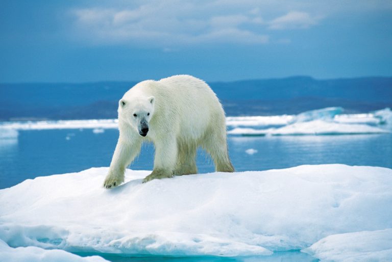
This is remote Arctic terrain with no services and no cell coverage. Carry a satellite phone or messenger, and bring gear for cold, wet and windy weather in any season. The river water is very cold, so wear a life jacket and dress for immersion. Polar bears can occur near the coast, so learn bear safety and consider hiring a local guide. Emergency cabins stand along the Itijjagiaq Trail.
Know before you go
Registration is mandatory from June to October. This page is a general overview, not a live conditions report, so confirm registration, flights and conditions with Nunavut Parks before you go.
- Coordinates
- 62.9000, -69.8500
- Magnetic declination
- 22.9° W (2026)
Set this declination on your compass, then align it to the map's north lines; it is the angle between true north and magnetic north, refreshed each year.
How declination works, and how to navigate with a map and compass
A spread of the park’s main places shows straight away, and the rest appear as you zoom in. You can also search above, or pick any place from the lists below, and the map will go to it. Places in bold, marked , have a short description.
Getting there 1
Airstrip
Sights 28
Lakes
Point of interest
Islands
Peaks
Map data comes from third-party sources and may be incomplete or out of date, so carry a current official map (terms).
Looking for one of these closer to home?Destinations near me by trip type →
- Best seasons
- Summer (July to August), Spring (skiing)
- Difficulty
- Strenuous (remote Arctic)
- Access / trailheads
- By air to Iqaluit or Kimmirut. Paddlers usually charter a flight to the upper Soper River; skiers and snowmobilers cross from Frobisher Bay near Iqaluit on the Itijjagiaq Trail.
- Water
- Plentiful from streams and the Soper River; treat all water.
- Cell / satellite coverage
- None in the park. A satellite phone or messenger is essential.
- Nearest ranger / SAR / emergency
- Emergencies: satellite device to 911 or the RCMP in Kimmirut/Iqaluit. Katannilik visitor centre, Kimmirut: 867-939-2416. Emergency cabins along the Itijjagiaq Trail.
- Permits & regulations
- Registration is mandatory on entering and leaving the park from June to October, through the Katannilik visitor centre in Kimmirut or Nunavut Parks in Iqaluit.
- Leave No Trace
- Camp on durable surfaces, pack out all waste, leave archaeological sites and gemstones undisturbed, and give wildlife space.
Other parks of the Canadian Arctic
-
 Torngat Mountains National Park
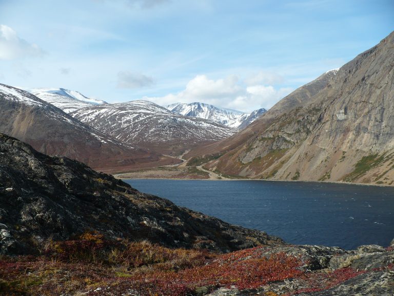
The highest peaks in mainland Canada east of the Rockies, rising from Labrador's fjords, with polar bears, caribou and Inuit guides.
-
 Auyuittuq National Park
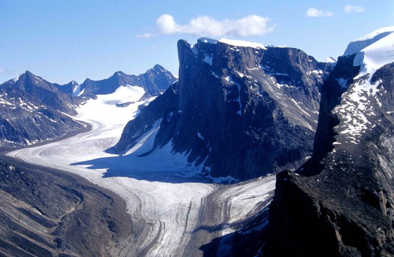
Granite walls and glaciers on Baffin Island, where Akshayuk Pass crosses the Arctic Circle below Mount Thor and Mount Asgard.
-
 Parc national Kuururjuaq
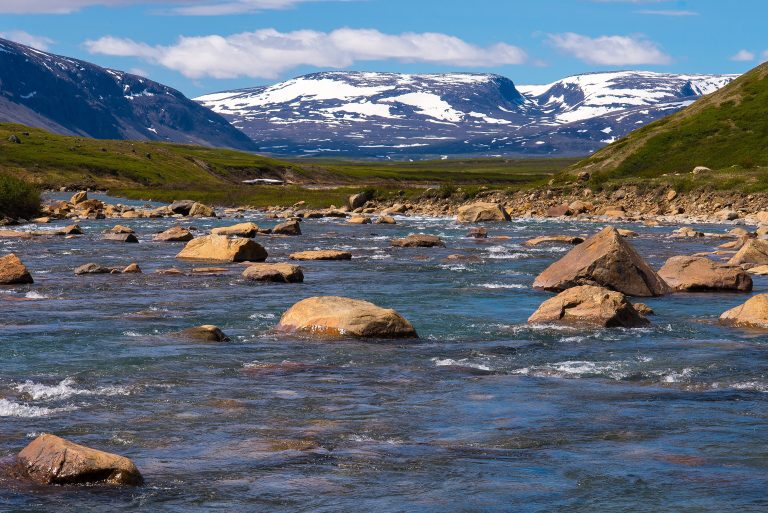
The Torngat Mountains and the Koroc River in Nunavik, rising to Mont D'Iberville, the highest point in mainland Quebec.
-
 Ukkusiksalik National Park
Wager Bay, an inland sea off Hudson Bay, with reversing tidal rapids, polar bears and hundreds of Inuit archaeological sites.
Straight-line distance between park centres. Road distance is usually longer.
Looking for somewhere closer to home?
See every park and monument within a day’s drive of where you are.