

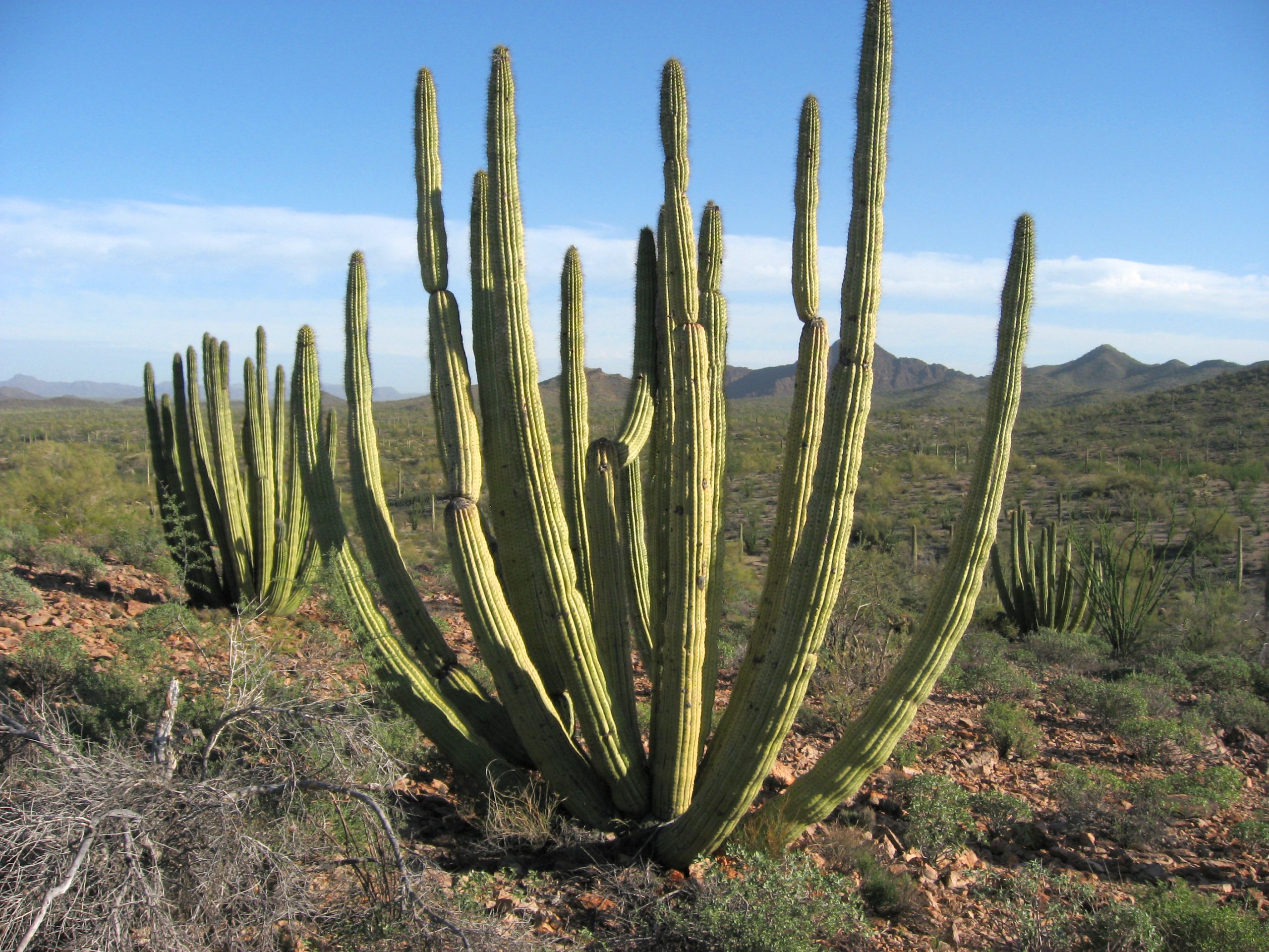
Organ Pipe Cactus National Monument
Organ Pipe Cactus protects the Sonoran Desert on Arizona’s border with Mexico, the only place in the United States where organ pipe cactus grow wild in large numbers. Short trails near the visitor center and a scenic loop drive show the desert in an afternoon, and a large designated wilderness offers long, waterless routes for experienced desert hikers.
Fast facts
- Established: 1937; a UNESCO biosphere reserve since 1976
- Size: about 331,000 acres (1,340 km²), most of it designated wilderness
- Signature plants: organ pipe, saguaro and senita cactus
- Scenic drive: Ajo Mountain Drive, 21 miles (34 km) of graded dirt
- Gateways: Ajo and Why, Arizona
- Managed by: the National Park Service
The landscape
Rugged volcanic ranges, including the Ajo Mountains, rise above wide desert valleys filled with cactus, palo verde and ocotillo. Spring rains can bring carpets of wildflowers. The area is home to desert bighorn sheep, javelina, coyotes and many birds on a major migration route.
Best time to go
November to March is the season, with days around 70-80°F (21-27°C) and cool nights. Spring wildflowers peak in February and March in good years. Summer is dangerously hot, above 100°F (38°C) by day and in the high 70s°F (about 25°C) at night.
Getting there and around
Highway 85 runs through the monument from Why to Lukeville at the border crossing. The Kris Eggle Visitor Center is 5 miles (8 km) north of Lukeville. The Ajo Mountain Drive is a one-way graded dirt loop suitable for most cars, and the Puerto Blanco Drive reaches the south and west.
Things to do
Easy walks start near the visitor center and Twin Peaks Campground: the Desert View Trail, 1.2 miles (1.9 km), is a good sunset walk, and the Palo Verde Trail links the two. On the Ajo Mountain Drive, the Arch Canyon trail leads to a double arch, and the Senita Basin loop shows all three columnar cacti growing together.
The Estes Canyon and Bull Pasture loop is about 3.6 miles (5.8 km) with 865 feet (264 m) of climbing, the last part steep and rugged. Longer hikes follow old mining roads to Victoria Mine and Lost Cabin, and the backcountry offers cross-country desert travel for those who can carry water and navigate without trails.
Staying safe
Heat and dehydration are the biggest risks; carry at least a gallon (4 L) of water per person per day and avoid hiking in summer. Cactus spines are everywhere, so carry a comb and tweezers. The monument is on the international border, and rangers advise staying on designated routes and reporting anything suspicious rather than approaching it.
Know before you go
An entrance fee applies (America the Beautiful pass accepted). Backcountry camping needs a permit from the visitor center, and dispersed camping along roads is not allowed. This page is a general overview, not a live conditions report, so confirm conditions and any area closures with the National Park Service before you go.
- Coordinates
- 32.0082, -112.8467
- Magnetic declination
- 9.7° E (2026)
Set this declination on your compass, then align it to the map's north lines; it is the angle between true north and magnetic north, refreshed each year.
How declination works, and how to navigate with a map and compass
A spread of the park’s main places shows straight away, and the rest appear as you zoom in. You can also search above, or pick any place from the lists below, and the map will go to it. Places in bold, marked , have a short description.
Getting there 4
Park entrances
Airstrip
Visitor centre
On the trail 19
Trailheads
Route
Campgrounds
Picnic sites
Sights 24
Viewpoints
Lakes
Heritage sites
Points of interest
Peaks 14
Map data comes from third-party sources and may be incomplete or out of date, so carry a current official map (terms).
Looking for one of these closer to home?Destinations near me by trip type →
- Best seasons
- Winter, Early spring (wildflowers), Late fall
- Difficulty
- Easy to strenuous
- Access / trailheads
- Highway 85 between Why and Lukeville; visitor center 5 miles (8 km) north of Lukeville. Ajo Mountain Drive is a one-way graded dirt loop.
- Water
- At the visitor center and Twin Peaks Campground only. None on trails.
- Cell / satellite coverage
- Patchy near Highway 85; none in most of the backcountry.
- Nearest ranger / SAR / emergency
- Emergencies: 911. Visitor center: 520-387-6849.
- Permits & regulations
- Entrance fee (America the Beautiful pass accepted). Backcountry camping permit from the Kris Eggle Visitor Center; no dispersed roadside camping.
- Leave No Trace
- Stay on trails and routes to protect desert soils, keep a wide distance from wildlife, pack out everything, and never collect plants or rocks.
January
- Day-to-night swing of 30°F (17°C)Day-to-night swing of 17°C (30°F)
February
- Day-to-night swing of 30°F (17°C)Day-to-night swing of 17°C (30°F)
March
- Day-to-night swing of 32°F (18°C)Day-to-night swing of 18°C (32°F)
April
- Day-to-night swing of 34°F (19°C)Day-to-night swing of 19°C (34°F)
May
- Hot days
- Day-to-night swing of 34°F (19°C)Day-to-night swing of 19°C (34°F)
June
- Extreme daytime heat
- Day-to-night swing of 34°F (19°C)Day-to-night swing of 19°C (34°F)
July
- Extreme daytime heat
August
- Extreme daytime heat
September
- Hot days
October This month
- Hot days
- Day-to-night swing of 31°F (17°C)Day-to-night swing of 17°C (31°F)
November
- Day-to-night swing of 31°F (17°C)Day-to-night swing of 17°C (31°F)
December
What to bring depends on your trip: how long you’re out, where you sleep, and how far you go from the road. The planner builds the list for yours.
Plan a trip here →Averages for 1991–2020 from NOAA U.S. Climate Normals, measured at the Organ Pipe Cactus National Monument station, 4 miles (6 km)6 km (4 miles) away at 1,678 feet (511 m)511 m (1,678 feet). Higher trails run colder, by about 3.5°F for every 1,000 ft (2°C per 300 m)2°C for every 300 m (3.5°F per 1,000 ft) of climb. Daylight runs from sunrise to sunset on the 15th, on the park’s own clock, for a level horizon. Valleys and slopes facing away from the sun are in shade earlier.
Nearby parks
-
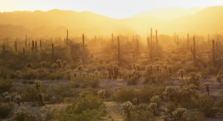 Sonoran Desert National Monument
Saguaro forests and remote desert ranges southwest of Phoenix, with four wilderness trails and historic pioneer routes.
-
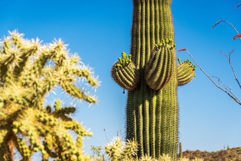 Saguaro National Park
Giant saguaro cactus forests on both sides of Tucson, rising into the pine-covered Rincon Mountains.
-
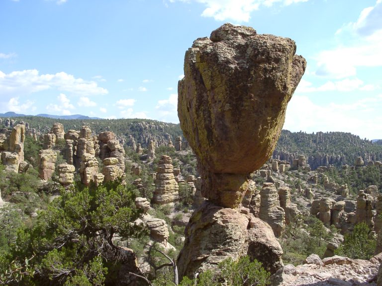 Chiricahua National Monument
Thousands of rhyolite pinnacles and balanced rocks in southeastern Arizona’s Chiricahua Mountains, with easy loops and a full-day trail.
-
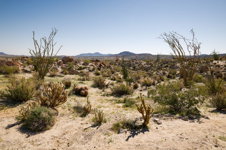 Anza-Borrego Desert State Park
California's largest state park: palm oases, slot canyons, badlands and wildflower blooms in the Colorado Desert east of San Diego.
Straight-line distance between park centres. Road distance is usually longer.
Looking for somewhere closer to home?
See every park and monument within a day’s drive of where you are.