

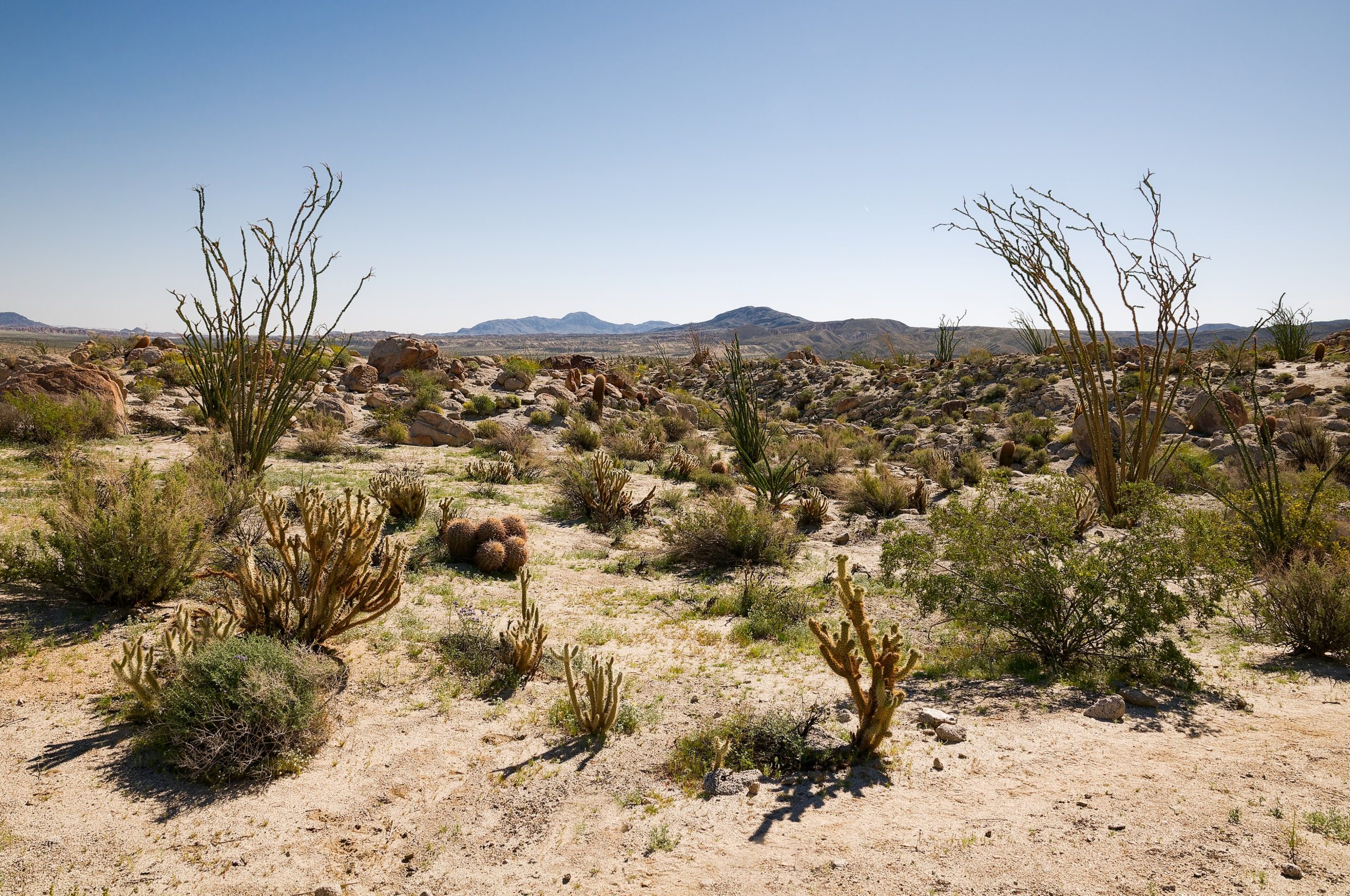
Anza-Borrego Desert State Park
Fast facts
- Size: about 600,000 acres (2,400 km²), the largest state park in California
- Wilderness: 12 designated wilderness areas and some 500 miles (800 km) of dirt roads
- Camping: developed campgrounds plus open primitive camping in much of the backcountry
- Gateway: Borrego Springs, about two hours from San Diego
- Managed by: California State Parks
The landscape
Anza-Borrego spreads across the Colorado Desert east of San Diego, from mountain ridges to badlands, washes and dry lakes. Fan palm oases shelter in canyons such as Borrego Palm Canyon, and slot canyons cut through sandstone. After wet winters, the desert floor fills with wildflowers. Peninsular bighorn sheep, kit foxes, roadrunners and many reptiles live here, and the dark skies are some of the best in Southern California.
Best time to go
October to April is the season. Wildflowers usually peak from February to March, depending on rain. Summer brings extreme heat, often well over 100°F (38°C), and most visitors should avoid hiking then.
Getting there and around
From San Diego, roads climb through the mountains and drop into the desert at Borrego Springs, a small town surrounded by the park. Paved roads lead to campgrounds and trailheads, and hundreds of miles of dirt roads reach remote canyons, many needing high-clearance or four-wheel-drive vehicles.
Things to do
The Borrego Palm Canyon trail leads to a palm oasis, often with bighorn sheep nearby. The Slot, Font’s Point and the Calcite Mine are popular short outings. Backpackers explore the wilderness areas with open camping, and the park is a favourite for stargazing and spring wildflower trips.
Staying safe
Heat and dehydration are the biggest dangers. Carry far more water than you think you need, start early and rest in shade. Canyons flood suddenly during storms, even when it is not raining where you are. Watch for rattlesnakes, and don’t rely on phone navigation: carry a map. Tell someone your route before heading down a remote dirt road, and carry extra water in your vehicle.
Know before you go
Some areas close seasonally to protect wildlife. This page is a general overview, not a live conditions report, so confirm current closures and road conditions with California State Parks before you go.
- Coordinates
- 33.0915, -116.3037
- Magnetic declination
- 10.7° E (2026)
Set this declination on your compass, then align it to the map's north lines; it is the angle between true north and magnetic north, refreshed each year.
How declination works, and how to navigate with a map and compass
A spread of the park’s main places shows straight away, and the rest appear as you zoom in. You can also search above, or pick any place from the lists below, and the map will go to it. Places in bold, marked , have a short description.
Getting there 8
Park entrance
Airstrips
Ranger stations
On the trail 24
Trailheads
Routes
Campgrounds
Picnic sites
Sights 50
Viewpoints
Waterfalls
Lakes
Heritage sites
Points of interest
Peaks
Map data comes from third-party sources and may be incomplete or out of date, so carry a current official map (terms).
Looking for one of these closer to home?Destinations near me by trip type →
- Best seasons
- Fall, Winter, Spring (wildflowers February to March)
- Difficulty
- Easy to strenuous
- Access / trailheads
- Borrego Springs, reached by county roads S22 and S3 and Highway 78, about two hours northeast of San Diego. The park surrounds the town.
- Water
- Almost none; carry all you need (at least a gallon, 4 L, per person per day).
- Cell / satellite coverage
- Fair near Borrego Springs, none in many canyons and backcountry areas. Carry a satellite messenger.
- Nearest ranger / SAR / emergency
- Emergencies: 911.
- Permits & regulations
- Campground reservations are taken for October 1 to April 30. Open primitive camping is allowed along many backcountry roads; check park rules for where fires and vehicles are allowed. Some areas close seasonally.
- Leave No Trace
- Camp on durable ground away from water sources used by bighorn sheep, use existing fire rings or metal fire pans, and pack out all waste.
January
February
March
April
May
- Hot days
June
- Extreme daytime heat
July
- Extreme daytime heat
August
- Extreme daytime heat
September
- Extreme daytime heat
October This month
- Hot days
November
December
What to bring depends on your trip: how long you’re out, where you sleep, and how far you go from the road. The planner builds the list for yours.
Plan a trip here →Averages for 1991–2020 from NOAA U.S. Climate Normals, measured at the Ocotillo Wells station, 9 miles (14 km)14 km (9 miles) away at 390 feet (119 m)119 m (390 feet). Higher trails run colder, by about 3.5°F for every 1,000 ft (2°C per 300 m)2°C for every 300 m (3.5°F per 1,000 ft) of climb. Daylight runs from sunrise to sunset on the 15th, on the park’s own clock, for a level horizon. Valleys and slopes facing away from the sun are in shade earlier.
Nearby parks
-
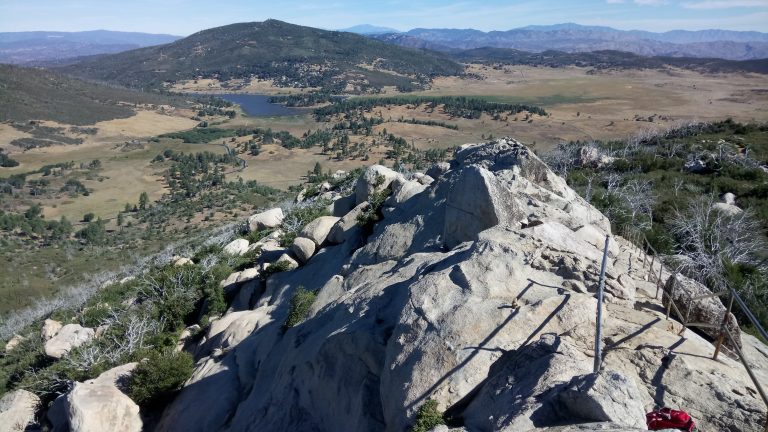 Cuyamaca Rancho State Park
Oak woodland, meadows and pine-topped peaks an hour east of San Diego, with more than 100 miles (160 km) of trail.
-
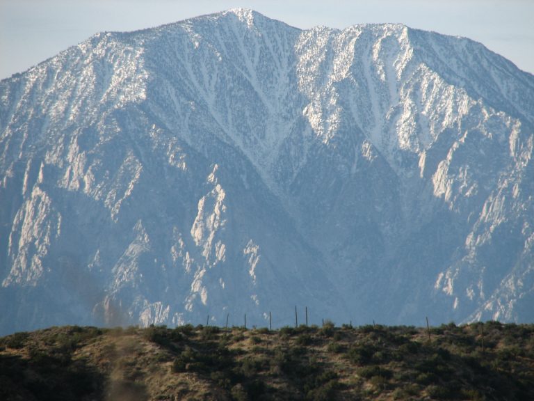 Mount San Jacinto State Park
The top of California's state parks, 10,834 feet (3,302 m) above Palm Springs, reached by tram or by trail from Idyllwild.
-
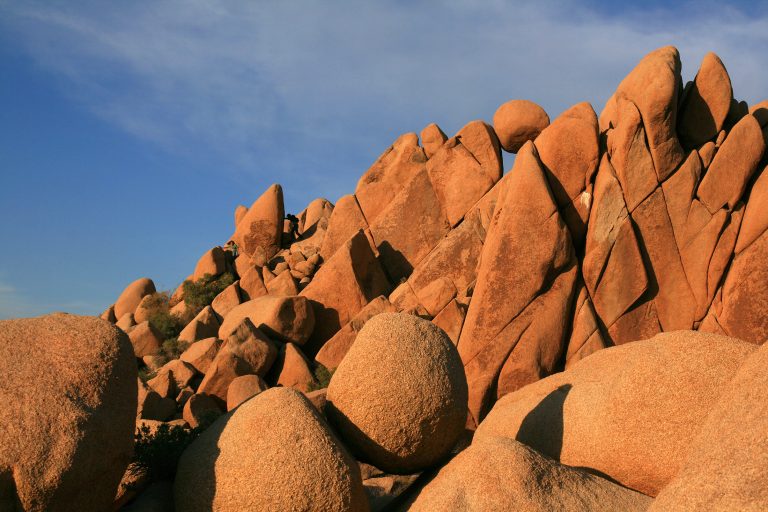 Joshua Tree National Park
Where the Mojave and Colorado deserts meet: Joshua trees, granite boulders for climbing and dark desert skies.
-
 Sand to Snow National Monument
Desert birding walks and Southern California’s highest summit, San Gorgonio, in one monument between Palm Springs and Joshua Tree.
Straight-line distance between park centres. Road distance is usually longer.
Looking for somewhere closer to home?
See every park and monument within a day’s drive of where you are.