

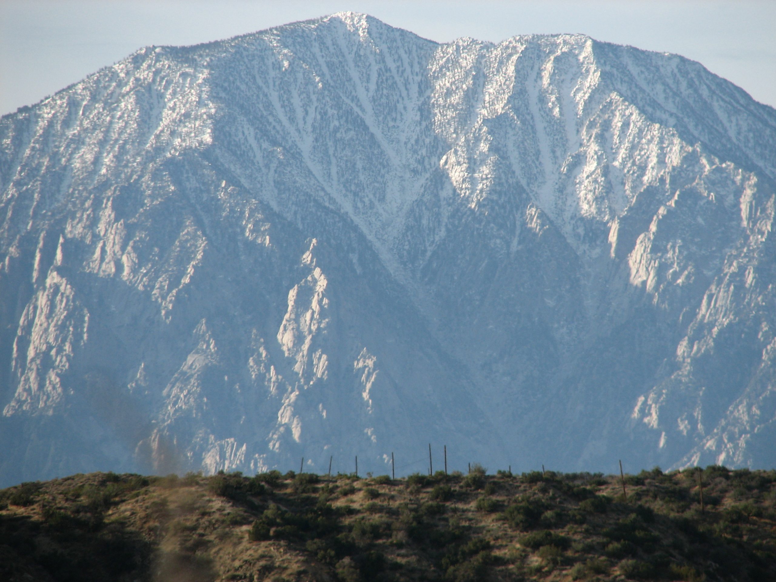
Mount San Jacinto State Park
Fast facts
- Size: about 14,000 acres (57 km²), most of it state wilderness
- Highest point: San Jacinto Peak, 10,834 feet (3,302 m), the highest peak in the California State Park System
- Peaks: three summits over 10,000 feet (3,050 m)
- Gateway: Palm Springs (by tram) and Idyllwild
- Managed by: California State Parks
The landscape
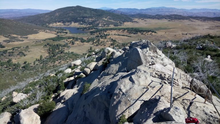
Mount San Jacinto rises almost 10,000 feet (3,050 m) above the desert floor at Palm Springs, one of the steepest escarpments in North America. The high country is granite peaks, subalpine forest of lodgepole and Jeffrey pine, and mountain meadows such as Round Valley. Mule deer, mountain lions, bighorn sheep and many birds live here.
Best time to go
Late spring to fall is hiking season in the high country, a cool escape from desert heat. Snow and ice cover the upper trails for much of the year, often into June, and winter turns the park into snowshoe and ski country. Summer brings fire restrictions.
Getting there and around
The Palm Springs Aerial Tramway rises to Mountain Station at about 8,500 feet (2,600 m), where trails lead into the wilderness. On the west side, Idyllwild has two campgrounds and trailheads that climb toward the summit. Wilderness permits are required for all trips into the state wilderness.
Things to do
The most popular hike is from the tram to San Jacinto Peak and back, about 11 miles (18 km) round trip. From Idyllwild, the Deer Springs and Devil’s Slide trails climb to the high country. Backpackers camp at Round Valley and Little Round Valley. The notorious Cactus to Clouds route climbs from the desert floor to the summit, one of the hardest day hikes in the country.
Staying safe
Visitors arriving by tram from the desert are often unprepared for cold, snow and altitude. Bring warm layers, traction in winter and spring, plenty of water and a map. Rescues are common on the summit trails and on Cactus to Clouds, where heat on the lower slopes has killed hikers. Turn back if weather or conditions change, and leave a trip plan.
Know before you go
Wilderness permits are required, dogs are not allowed in the wilderness, and fire restrictions apply in summer. This page is a general overview, not a live conditions report, so confirm current conditions, permits and tram status before you go.
- Coordinates
- 33.7916, -116.6836
- Magnetic declination
- 11.0° E (2026)
Set this declination on your compass, then align it to the map's north lines; it is the angle between true north and magnetic north, refreshed each year.
How declination works, and how to navigate with a map and compass
A spread of the park’s main places shows straight away, and the rest appear as you zoom in. You can also search above, or pick any place from the lists below, and the map will go to it. Places in bold, marked , have a short description.
Getting there 1
Ranger station
On the trail 21
Campgrounds
Sights 19
Viewpoints
Heritage site
Point of interest
Peaks 9
Map data comes from third-party sources and may be incomplete or out of date, so carry a current official map (terms).
Looking for one of these closer to home?Destinations near me by trip type →
- Best seasons
- Late spring, Summer, Fall, Winter (snowshoeing)
- Difficulty
- Moderate to strenuous
- Access / trailheads
- Two sides: the Palm Springs Aerial Tramway to Mountain Station in the high country, or Idyllwild on Highway 243, reached from Interstate 10 or Highway 74.
- Water
- Springs and creeks in season; treat all water and carry plenty.
- Cell / satellite coverage
- Patchy; some signal on high points facing the desert. Carry a satellite messenger.
- Nearest ranger / SAR / emergency
- Emergencies: 911 (Riverside County Sheriff coordinates mountain rescue).
- Permits & regulations
- Wilderness permits are required for day and overnight trips in the state wilderness. Dogs are not allowed in the wilderness or on the tram. The park is under fire restrictions in summer.
- Leave No Trace
- Camp only in designated wilderness campsites, follow fire restrictions strictly, and pack out all waste.
January
- Below-freezing nights
February
- Below-freezing nights
March
- Below-freezing nights
April
May
- Day-to-night swing of 30°F (17°C)Day-to-night swing of 17°C (30°F)
June
- Day-to-night swing of 32°F (18°C)Day-to-night swing of 18°C (32°F)
July
- Day-to-night swing of 30°F (17°C)Day-to-night swing of 17°C (30°F)
August
- Day-to-night swing of 31°F (17°C)Day-to-night swing of 17°C (31°F)
September
- Day-to-night swing of 31°F (17°C)Day-to-night swing of 17°C (31°F)
October This month
- Day-to-night swing of 30°F (17°C)Day-to-night swing of 17°C (30°F)
November
December
- Below-freezing nights
What to bring depends on your trip: how long you’re out, where you sleep, and how far you go from the road. The planner builds the list for yours.
Plan a trip here →Averages for 1991–2020 from NOAA U.S. Climate Normals, measured at the Idyllwild Fire Dept station, 3 miles (4 km)4 km (3 miles) away at 5,380 feet (1,640 m)1,640 m (5,380 feet). Higher trails run colder, by about 3.5°F for every 1,000 ft (2°C per 300 m)2°C for every 300 m (3.5°F per 1,000 ft) of climb. Daylight runs from sunrise to sunset on the 15th, on the park’s own clock, for a level horizon. Valleys and slopes facing away from the sun are in shade earlier.
Nearby parks
-
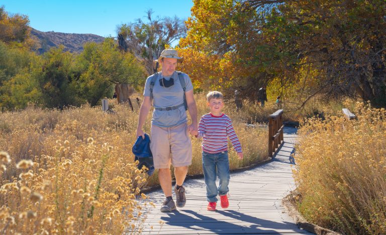 Sand to Snow National Monument
Desert birding walks and Southern California’s highest summit, San Gorgonio, in one monument between Palm Springs and Joshua Tree.
-
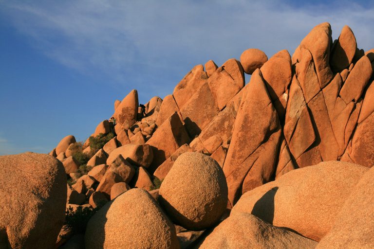 Joshua Tree National Park
Where the Mojave and Colorado deserts meet: Joshua trees, granite boulders for climbing and dark desert skies.
-
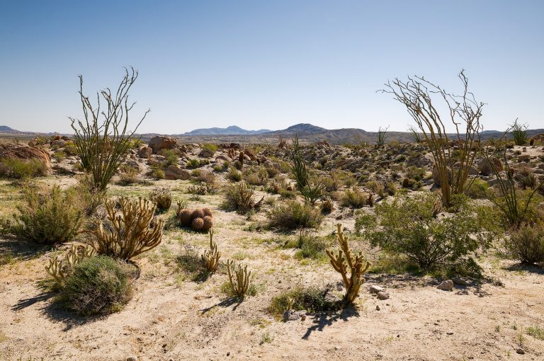 Anza-Borrego Desert State Park
California's largest state park: palm oases, slot canyons, badlands and wildflower blooms in the Colorado Desert east of San Diego.
-
 Cuyamaca Rancho State Park
Oak woodland, meadows and pine-topped peaks an hour east of San Diego, with more than 100 miles (160 km) of trail.
Straight-line distance between park centres. Road distance is usually longer.
Looking for somewhere closer to home?
See every park and monument within a day’s drive of where you are.