

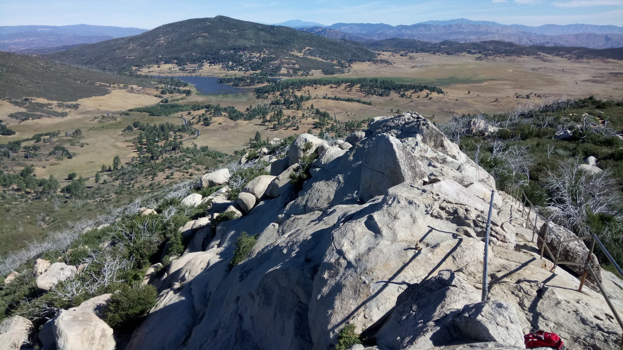
Cuyamaca Rancho State Park
Fast facts
- Size: about 24,700 acres (100 km²)
- Highest point: Cuyamaca Peak, about 6,512 feet (1,985 m)
- Trails: more than 100 miles (160 km) for hikers, riders and cyclists
- Gateway: Julian and San Diego, about an hour west
- Managed by: California State Parks
The landscape
Cuyamaca Rancho covers the high country of San Diego County’s Peninsular Ranges: oak woodland, pine-topped peaks, broad meadows and creeks. Much of the park burned in the 2003 Cedar Fire, and the forest is still recovering, with open slopes and regrowth. Deer, mountain lions, coyotes and many birds live here, and the park holds important Kumeyaay cultural sites.
Best time to go
Spring brings green meadows and wildflowers. Fall is mild and clear. Summer can be hot. Winter occasionally brings snow to the peaks, a rare sight in Southern California.
Getting there and around
Highway 79 runs north through the park from Interstate 8 toward Julian, passing the Green Valley and Paso Picacho campgrounds and many trailheads. Green Valley sits at about 4,000 feet (1,220 m) and Paso Picacho at about 5,000 feet (1,520 m).
Things to do
Popular hikes include Stonewall Peak, a 2-mile (3.2 km) climb to about 5,700 feet (1,740 m), and Cuyamaca Peak, with views to the Pacific, the Colorado Desert and the Salton Sea. Longer routes link to trail camps for overnight trips. The cascades at Green Valley are popular on warm days, and cyclists and horse riders use the fire roads.
Staying safe
Carry plenty of water, since summer days are hot and shade is limited on burned slopes. Fire danger is high much of the year: check restrictions before lighting a stove. Mountain lions live here, so hike with others and keep children close. Watch for rattlesnakes. Winter storms can bring cold and snow to the peaks. Leave a trip plan.
Know before you go
This page is a general overview, not a live conditions report, so confirm current fire restrictions, closures and reservations with California State Parks before you go.
- Coordinates
- 32.9436, -116.5645
- Magnetic declination
- 10.8° E (2026)
Set this declination on your compass, then align it to the map's north lines; it is the angle between true north and magnetic north, refreshed each year.
How declination works, and how to navigate with a map and compass
A spread of the park’s main places shows straight away, and the rest appear as you zoom in. You can also search above, or pick any place from the lists below, and the map will go to it. Places in bold, marked , have a short description.
Getting there 2
Park entrances
On the trail 2
Campgrounds
Sights 10
Waterfall
Heritage site
Peaks
Map data comes from third-party sources and may be incomplete or out of date, so carry a current official map (terms).
Looking for one of these closer to home?Destinations near me by trip type →
- Best seasons
- Spring, Fall, Winter (occasional snow)
- Difficulty
- Easy to moderate
- Access / trailheads
- Highway 79, about 5 miles (8 km) north of Interstate 8, east of San Diego.
- Water
- Water at developed campgrounds; carry enough on the trails.
- Cell / satellite coverage
- Patchy in the valleys.
- Nearest ranger / SAR / emergency
- Emergencies: 911.
- Permits & regulations
- Day-use fees apply. Campgrounds and trail camps are reserved through ReserveCalifornia. Call 760-767-4037 for current fire restrictions.
- Leave No Trace
- Stay on trails, camp only in designated sites, and follow fire restrictions strictly.
January
February
March
April
May
June
July
August
September
October This month
November
December
- Below-freezing nights
What to bring depends on your trip: how long you’re out, where you sleep, and how far you go from the road. The planner builds the list for yours.
Plan a trip here →Averages for 1991–2020 from NOAA U.S. Climate Normals, measured at the Cuyamaca station, 3 miles (6 km)6 km (3 miles) away at 4,640 feet (1,414 m)1,414 m (4,640 feet). Higher trails run colder, by about 3.5°F for every 1,000 ft (2°C per 300 m)2°C for every 300 m (3.5°F per 1,000 ft) of climb. Daylight runs from sunrise to sunset on the 15th, on the park’s own clock, for a level horizon. Valleys and slopes facing away from the sun are in shade earlier.
Nearby parks
-
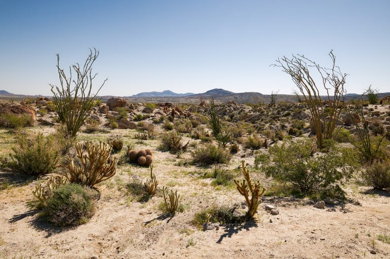 Anza-Borrego Desert State Park
California's largest state park: palm oases, slot canyons, badlands and wildflower blooms in the Colorado Desert east of San Diego.
-
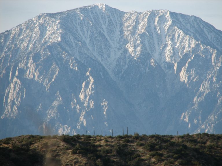 Mount San Jacinto State Park
The top of California's state parks, 10,834 feet (3,302 m) above Palm Springs, reached by tram or by trail from Idyllwild.
-
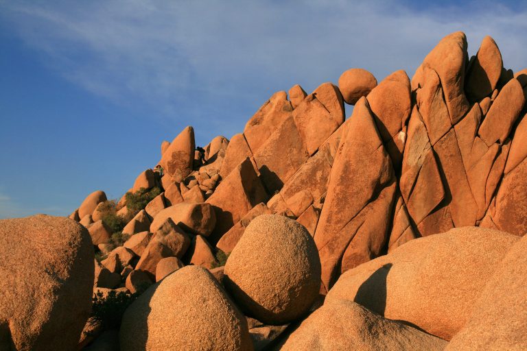 Joshua Tree National Park
Where the Mojave and Colorado deserts meet: Joshua trees, granite boulders for climbing and dark desert skies.
-
 Sand to Snow National Monument
Desert birding walks and Southern California’s highest summit, San Gorgonio, in one monument between Palm Springs and Joshua Tree.
Straight-line distance between park centres. Road distance is usually longer.
Looking for somewhere closer to home?
See every park and monument within a day’s drive of where you are.