

Chiricahua National Monument
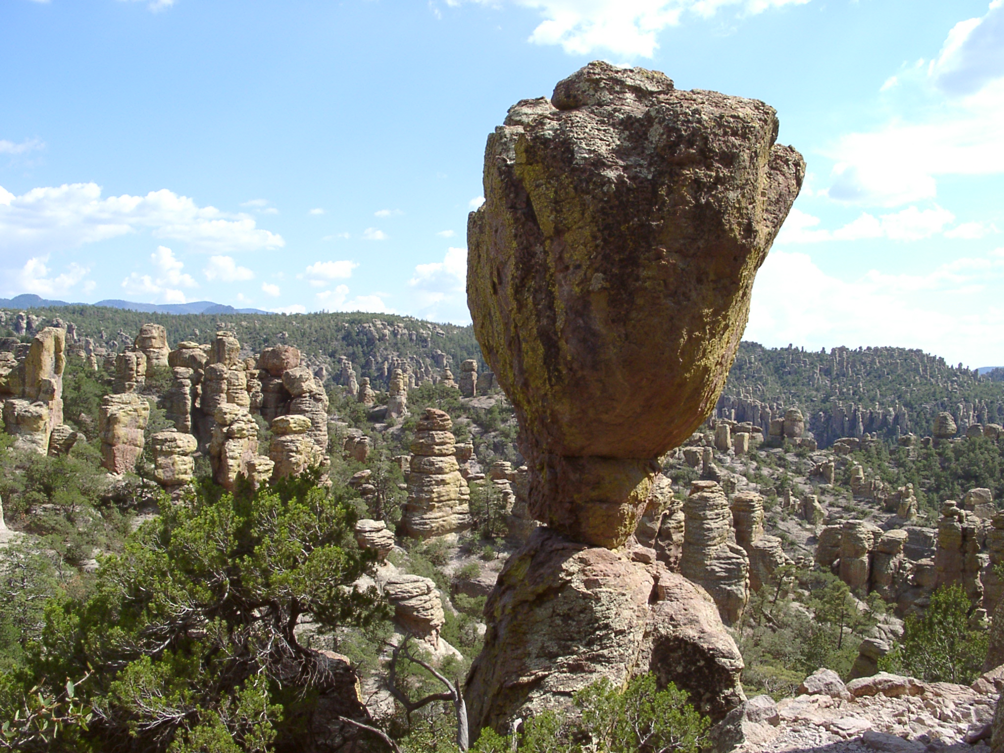
Chiricahua is a “wonderland of rocks”: thousands of rhyolite pinnacles, balanced rocks and narrow grottoes in the Chiricahua Mountains of southeastern Arizona. A scenic drive and short trails reach the best views, and a day-long loop winds through the heart of the rock formations.
Fast facts
- Established: 1924
- Size: about 12,000 acres (49 km²)
- Trails: about 17 miles (27 km) of day-hiking trails
- Elevation: 5,124 feet (1,562 m) at the entrance to 7,310 feet (2,228 m) on Sugarloaf Mountain
- Gateway: Willcox, Arizona
- Managed by: the National Park Service
The landscape
About 27 million years ago, a huge eruption from the nearby Turkey Creek volcano laid down a thick layer of ash that hardened into rhyolite. Erosion has since carved it into columns and balanced rocks. The Chiricahuas are a “sky island”, a mountain range rising between deserts, so oak, pine and cypress forest shelter wildlife from both Mexico and the north, including coatis and hundreds of bird species.
Best time to go
Spring and fall are best. Summer highs reach 80-95°F (27-35°C), and July to September brings monsoon storms with lightning and flash floods. Winter nights are often below freezing, with occasional snow at higher elevations.
Getting there and around
From I-10, exits at Willcox lead south on Highway 186 to the monument, about 36 miles (58 km) of paved road. The 8-mile (13 km) Bonita Canyon Drive climbs from the visitor center to Massai Point at the top of the monument.
Things to do
At Massai Point, a half-mile (0.8 km) nature trail loops through balanced rocks with wide views. The Echo Canyon Loop, 3.3 miles (5.3 km), passes through grottoes, narrow slots and towering pinnacles, and Sugarloaf Mountain is a 1.8-mile (2.9 km) round trip to a fire lookout. Faraway Ranch, near the visitor center, tells the story of a pioneer family.
For a full day, the Heart of Rocks Loop, about 7.3 miles (11.8 km) round trip, reaches the most unusual formations, including Big Balanced Rock and Pinnacle Balanced Rock. Longer combinations link Echo Canyon, Rhyolite Canyon and the Heart of Rocks.
Staying safe
Trails are rocky and steep in places, and the higher parts are 10°F (6°C) or more cooler and windier than the visitor center. Carry water; there is none on the trails. Monsoon storms bring lightning to exposed ridges and flash floods to the canyons. Watch for rattlesnakes in warm weather.
Know before you go
There is no entrance fee. Backcountry camping is not allowed, and overnight stays are limited to Bonita Canyon Campground, which takes reservations. Pets are not allowed on most trails. This page is a general overview, not a live conditions report, so confirm conditions with the National Park Service before you go.
- Coordinates
- 32.0158, -109.3454
- Magnetic declination
- 8.5° E (2026)
Set this declination on your compass, then align it to the map's north lines; it is the angle between true north and magnetic north, refreshed each year.
How declination works, and how to navigate with a map and compass
A spread of the park’s main places shows straight away, and the rest appear as you zoom in. You can also search above, or pick any place from the lists below, and the map will go to it. Places in bold, marked , have a short description.
Getting there 2
Park entrance
Visitor centre
On the trail 9
Trailheads
Route
Campground
Hut or shelter
Sights 9
Viewpoints
Heritage site
Point of interest
Peaks
Map data comes from third-party sources and may be incomplete or out of date, so carry a current official map (terms).
Looking for one of these closer to home?Destinations near me by trip type →
- Best seasons
- Spring, Fall
- Difficulty
- Easy to strenuous
- Access / trailheads
- Highway 186 from I-10 at Willcox, about 36 miles (58 km). Bonita Canyon Drive climbs 8 miles (13 km) to Massai Point.
- Water
- At the visitor center and campground. None on trails.
- Cell / satellite coverage
- Little to none in most of the monument.
- Nearest ranger / SAR / emergency
- Emergencies: 911. Visitor center: 520-824-3560.
- Permits & regulations
- No entrance fee. No backcountry camping; Bonita Canyon Campground by reservation.
- Leave No Trace
- Stay on trails, do not climb on balanced rocks, keep your distance from wildlife, and pack out all waste.
January
- Below-freezing nights
February
March
- Day-to-night swing of 30°F (17°C)Day-to-night swing of 17°C (30°F)
April
- Day-to-night swing of 33°F (18°C)Day-to-night swing of 18°C (33°F)
May
- Day-to-night swing of 34°F (19°C)Day-to-night swing of 19°C (34°F)
June
- Hot days
- Day-to-night swing of 34°F (19°C)Day-to-night swing of 19°C (34°F)
July
- Hot days
- Day-to-night swing of 30°F (17°C)Day-to-night swing of 17°C (30°F)
August
September
October This month
November
December
- Below-freezing nights
What to bring depends on your trip: how long you’re out, where you sleep, and how far you go from the road. The planner builds the list for yours.
Plan a trip here →Averages for 1991–2020 from NOAA U.S. Climate Normals, measured at the Chiricahua National Monument station at 5,360 feet (1,634 m)1,634 m (5,360 feet). Higher trails run colder, by about 3.5°F for every 1,000 ft (2°C per 300 m)2°C for every 300 m (3.5°F per 1,000 ft) of climb. Daylight runs from sunrise to sunset on the 15th, on the park’s own clock, for a level horizon. Valleys and slopes facing away from the sun are in shade earlier.
Nearby parks
-
 Saguaro National Park
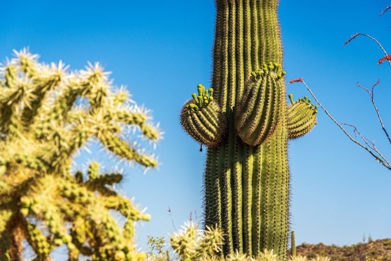
Giant saguaro cactus forests on both sides of Tucson, rising into the pine-covered Rincon Mountains.
-
 Gila Cliff Dwellings National Monument
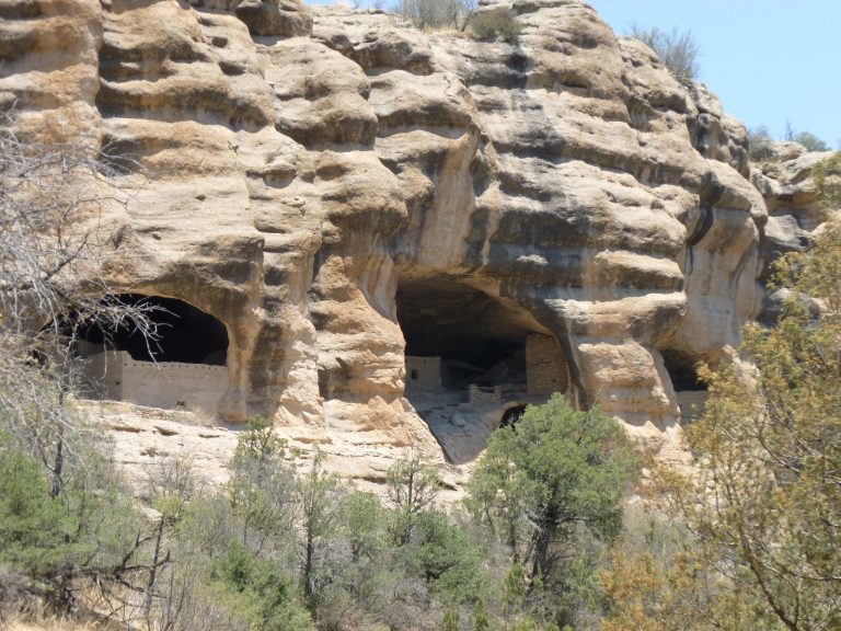
Mogollon cliff dwellings in five caves, on the edge of the Gila Wilderness and its hot-spring river routes.
-
 Organ Mountains-Desert Peaks National Monument
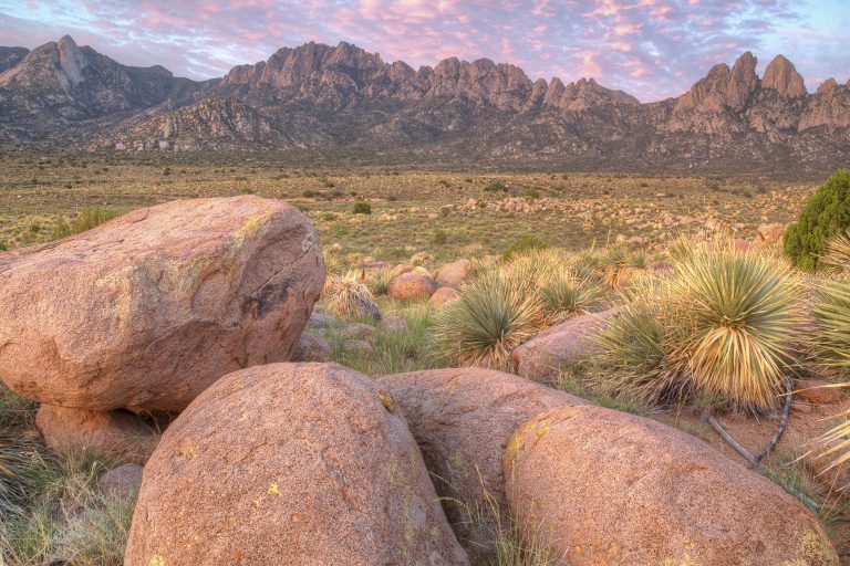
Jagged granite spires above Las Cruces, New Mexico, with spring-fed canyon walks, a range crossing and remote desert peaks.
-
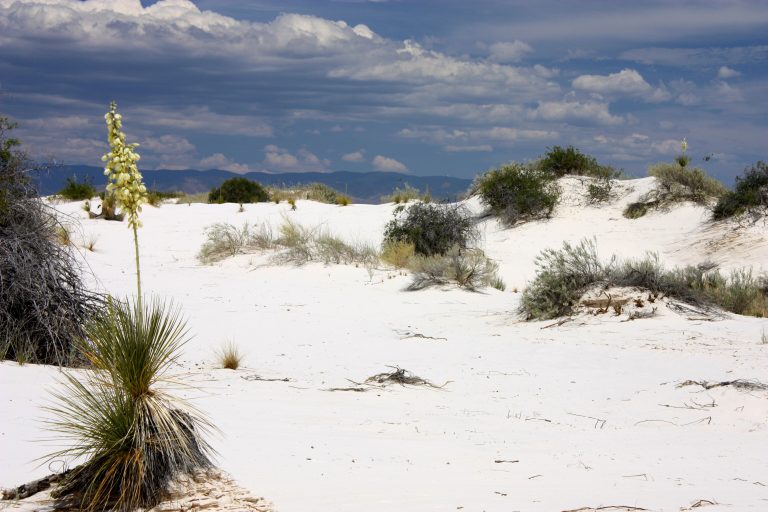 White Sands National Park
The world's largest gypsum dune field, gleaming white across New Mexico's Tularosa Basin, with dune sledding.
Straight-line distance between park centres. Road distance is usually longer.
Looking for somewhere closer to home?
See every park and monument within a day’s drive of where you are.