

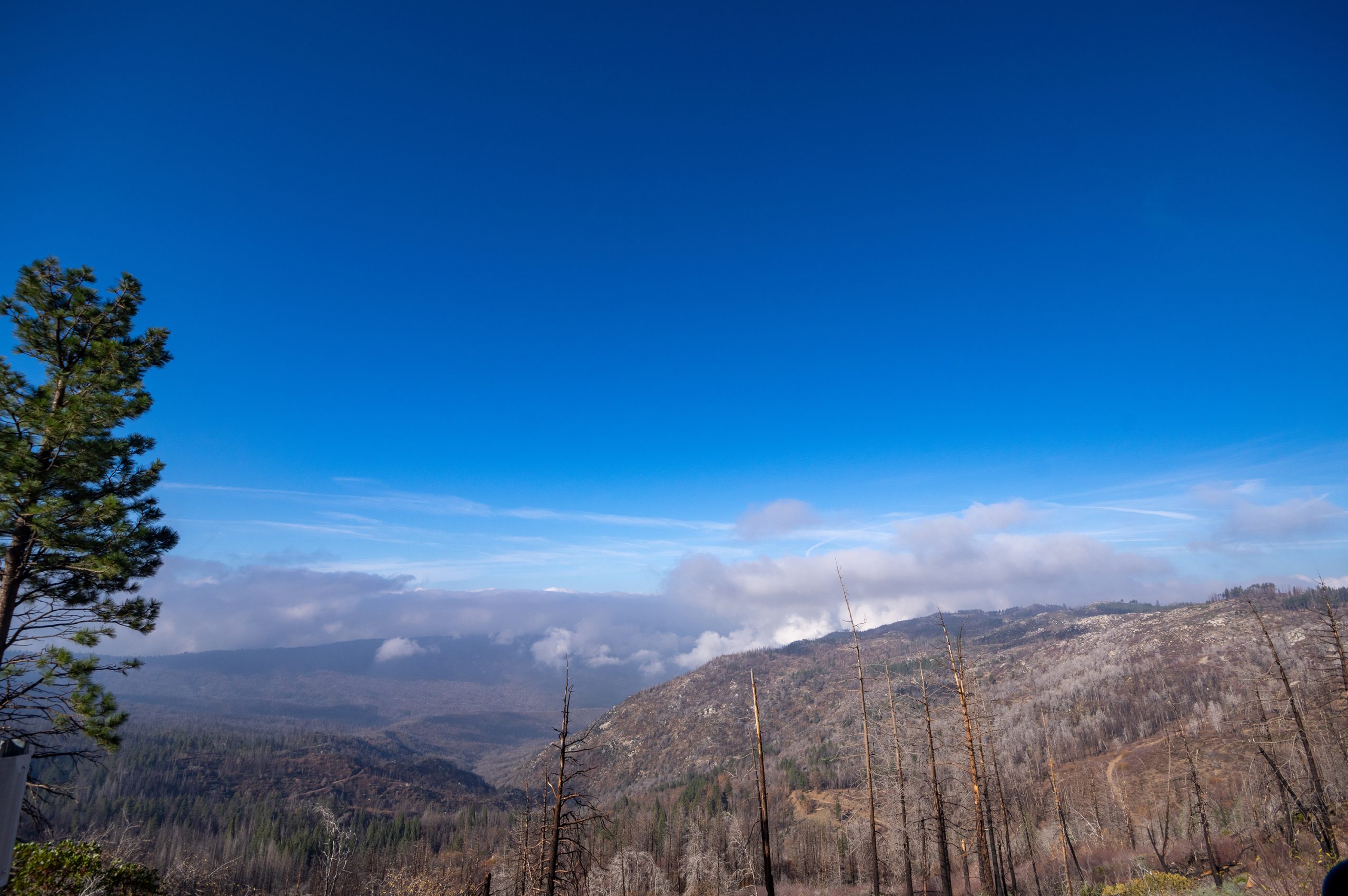
Kings Canyon National Park
Kings Canyon is the wild, vertical heart of the southern Sierra Nevada, a park of one of the deepest canyons in North America, groves of giant sequoias, and a vast high country of granite peaks and alpine lakes that runs unbroken into the John Muir and Sequoia wilderness. Co-managed with neighbouring Sequoia, it trades crowds for grandeur and serious backcountry.
Fast facts
- Established: 1940 (incorporating the earlier General Grant National Park of 1890)
- Size: about 462,000 acres (1,870 km²), administered with Sequoia National Park
- Depth: Kings Canyon reaches over 8,000 feet (2,400 m) deep in places
- Giants: the General Grant Tree, among the largest trees on Earth
- Gateway: Fresno, California, via Highway 180
- Managed by: National Park Service
The landscape
The park spans a huge vertical range, from the giant sequoia groves and mixed-conifer forest at Grant Grove, down the glacially carved gorge of the Kings River at Cedar Grove, and up into a high country of bare granite, snowfields and hundreds of alpine lakes along the Sierra crest. Black bears, mule deer, marmots and, high up, bighorn sheep range the park.
Best time to go
Summer through early fall is prime, when the Cedar Grove road is open, the high country is clear of snow, and the rivers settle from their spring surge. Snow lingers at elevation into early summer and returns in fall, closing the canyon road for winter, though Grant Grove stays open year-round for snowshoeing and quiet forest walks.
Getting there and around
Highway 180 from Fresno enters at Grant Grove and, in season, drops into the canyon at Cedar Grove, the paved end of the road and the gateway to the backcountry. The park connects by road to Sequoia via the Generals Highway. There is no park-wide shuttle, so a vehicle is needed, and distances between areas are long.
Things to do
Walk among the giants on the General Grant Tree loop, drive the dramatic canyon road to Cedar Grove, and hike to Roaring River Falls, Zumwalt Meadow and Mist Falls. For the ambitious, Kings Canyon is a gateway to legendary backpacking, the Rae Lakes Loop and the John Muir and Pacific Crest trails all pass through, with alpine lakes and passes in every direction.
Staying safe
Black bears are active, and bear canisters are required through much of the wilderness. Store all food and scented items properly. The Kings River and its tributaries run cold, fast and deadly in spring and early summer, so keep well back and never wade swift water. At altitude, hydrate and pace yourself, watch for lingering snow on high passes, and carry a map and satellite messenger in the backcountry.
Know before you go
A single entry fee covers both Kings Canyon and Sequoia, and all overnight backpacking requires a wilderness permit, with quotas on popular trailheads. Reserve ahead. The Cedar Grove road is seasonal, so check its status. This page is a general overview, not a live conditions report; always confirm current conditions, road status and permits with the National Park Service before your trip.
- Coordinates
- 36.9152, -118.6584
- Magnetic declination
- 12.0° E (2026)
Set this declination on your compass, then align it to the map's north lines; it is the angle between true north and magnetic north, refreshed each year.
A spread of the park’s main places shows straight away, and the rest appear as you zoom in. You can also search above, or pick any place from the lists below, and the map will go to it.
Getting there 7
Park entrance
Ranger stations
On the trail 27
Trailheads
Campgrounds
Hut or shelter
Picnic site
Sights 60
Viewpoints
Waterfalls
Heritage sites
Point of interests
Peaks 30
Map data comes from third-party sources and may be incomplete or out of date, so carry a current official map (terms).
- Best seasons
- Summer, Early fall
- Difficulty
- Easy to strenuous
- Access / trailheads
- Highway 180 from Fresno enters at Grant Grove and descends into Cedar Grove in the canyon (seasonal). The park adjoins and is co-managed with Sequoia National Park.
- Water
- Abundant rivers, streams and lakes; filter or treat all backcountry water.
- Cell / satellite coverage
- Little to no cell service in the park. Carry a map and a satellite messenger for the backcountry.
- Nearest ranger / SAR / emergency
- Sequoia & Kings Canyon dispatch; life-threatening emergencies: 911.
- Permits & regulations
- Per-vehicle entry fee, shared with Sequoia (America the Beautiful pass accepted); wilderness permits are required for all overnight backpacking, with quotas on popular trailheads.
- Leave No Trace
- Use bear canisters (required in much of the wilderness), pack out all waste, stay on trail, and follow Leave No Trace.
January
- Below-freezing nights
February
- Below-freezing nights
March
- Below-freezing nights
April
- Below-freezing nights
May
June
July
August
September This month
October
November
- Below-freezing nights
December
- Below-freezing nights
What to bring depends on your trip: how long you’re out, where you sleep, and how far you go from the road. The planner builds the list for yours.
Plan a trip here →Averages for 1991–2020 from NOAA U.S. Climate Normals, measured at the Grant Grove station, 15 miles (24 km) away at 6,580 feet (2,006 m). Conditions change with elevation: expect it colder higher up.