

Devils Postpile National Monument
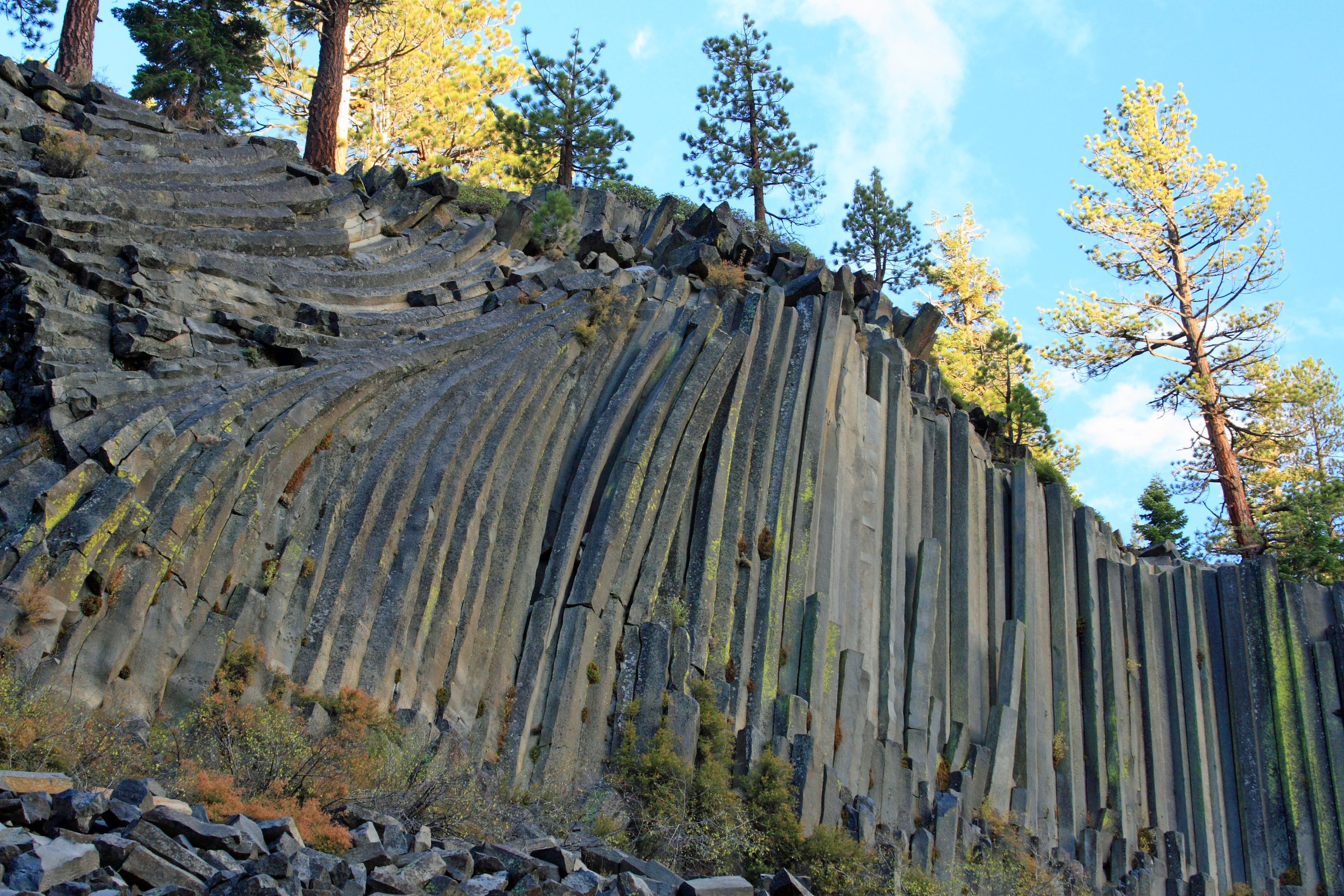
Devils Postpile protects a wall of basalt columns up to 60 feet (18 m) high and the 101-foot (31 m) Rainbow Falls, in a valley of the Middle Fork San Joaquin River near Mammoth Lakes. It is a short walk for families, and also a busy crossing point for the John Muir and Pacific Crest trails.
Fast facts
- Established: 1911
- Size: about 800 acres (3.2 km²)
- Signature features: columnar basalt up to 60 feet (18 m) tall, and Rainbow Falls, 101 feet (31 m)
- Elevation: about 7,560 feet (2,300 m)
- Gateway: Mammoth Lakes, California
- Managed by: the National Park Service, surrounded by Inyo National Forest
The landscape
The Postpile formed when a lava flow cooled slowly and cracked into long, mostly six-sided columns, later polished by glaciers; the top of the formation looks like a tiled floor. Below it, the Middle Fork San Joaquin runs through a forested valley to Rainbow Falls, where rainbows form in the spray on sunny days. Much of the valley burned in the 1992 Rainbow Fire and is regrowing.
Best time to go
The monument is open in summer and early fall, usually from mid-June until snow closes the road by late October. July and August are busiest, with afternoon thunderstorms possible; September is quieter and cooler, with frosty nights.
Getting there and around
From US 395, take SR 203 to Mammoth Lakes and continue past Minaret Vista, then down a steep, partly single-lane road into the valley. While the shuttle runs, from about mid-June to just after Labor Day, most visitors must park at Mammoth Mountain and ride the shuttle bus in. The ranger station is the starting point for the main trails.
Things to do
From the ranger station it is about 0.5 miles (0.8 km) to the base of the Postpile, and a short, steeper loop climbs to its polished top. Continue to Rainbow Falls for a rolling hike of about 5 miles (8 km) round trip; stairs lead to the bottom of the falls.
The John Muir and Pacific Crest trails pass through the monument on their way between Yosemite and the High Sierra, and the Ansel Adams Wilderness surrounds it. Backpackers use the valley and nearby Reds Meadow as a start, finish or resupply point for multi-day trips.
Staying safe
At 7,500 feet (2,300 m), altitude can tire visitors from sea level, and afternoon thunderstorms bring lightning to exposed spots. Stay off the unstable talus (loose broken rock) at the foot of the Postpile. The river is cold and fast, especially near Rainbow Falls. Black bears are active, so store food properly.
Know before you go
The shuttle is mandatory for most visitors while it runs, with exceptions such as campers and visitors with disabilities. Overnight trips into the surrounding wilderness need a wilderness permit from Inyo National Forest. This page is a general overview, not a live conditions report, so confirm opening dates and shuttle details with the National Park Service before you go.
- Coordinates
- 37.6154, -119.0877
- Magnetic declination
- 12.2° E (2026)
Set this declination on your compass, then align it to the map's north lines; it is the angle between true north and magnetic north, refreshed each year.
How declination works, and how to navigate with a map and compass
A spread of the park’s main places shows straight away, and the rest appear as you zoom in. You can also search above, or pick any place from the lists below, and the map will go to it. Places in bold, marked , have a short description.
Getting there 1
Ranger station
On the trail 2
Trailhead
Route
Sights 4
Waterfalls
Points of interest
Map data comes from third-party sources and may be incomplete or out of date, so carry a current official map (terms).
Looking for one of these closer to home?Destinations near me by trip type →
- Best seasons
- Summer, Early fall
- Difficulty
- Easy to moderate (strenuous on the long-distance trails beyond)
- Access / trailheads
- SR 203 from US 395 through Mammoth Lakes, then a steep, partly single-lane road. Seasonal shuttle from Mammoth Mountain.
- Water
- Treat river and creek water; drinking water at the ranger station area in season.
- Cell / satellite coverage
- Little to none in the valley.
- Nearest ranger / SAR / emergency
- Emergencies: 911. Devils Postpile ranger station: 760-934-2289.
- Permits & regulations
- Mandatory shuttle for most visitors in the main season (fee). Wilderness permit from Inyo National Forest for overnight trips beyond the monument.
- Leave No Trace
- Stay off the talus and the Postpile’s edges, store food in bear boxes, and pack out all waste.
January
- Below-freezing nights
February
- Below-freezing nights
March
- Below-freezing nights
April
- Below-freezing nights
May
June
July
August
- Day-to-night swing of 30°F (17°C)Day-to-night swing of 17°C (30°F)
September
- Day-to-night swing of 31°F (17°C)Day-to-night swing of 17°C (31°F)
October This month
- Below-freezing nights
- Day-to-night swing of 31°F (17°C)Day-to-night swing of 17°C (31°F)
November
- Below-freezing nights
December
- Below-freezing nights
What to bring depends on your trip: how long you’re out, where you sleep, and how far you go from the road. The planner builds the list for yours.
Plan a trip here →Averages for 1991–2020 from NOAA U.S. Climate Normals, measured at the Mammoth Lakes Ranger Station, 7 miles (12 km)12 km (7 miles) away at 7,804 feet (2,379 m)2,379 m (7,804 feet). Higher trails run colder, by about 3.5°F for every 1,000 ft (2°C per 300 m)2°C for every 300 m (3.5°F per 1,000 ft) of climb. Daylight runs from sunrise to sunset on the 15th, on the park’s own clock, for a level horizon. Valleys and slopes facing away from the sun are in shade earlier.
Nearby parks
-
 Yosemite National Park
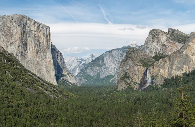
El Capitan and Half Dome above Yosemite Valley's waterfalls, with giant sequoias and the high country of Tuolumne Meadows.
-
 Kings Canyon National Park
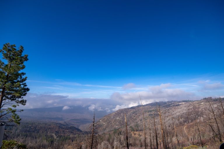
One of North America's deepest canyons, in the southern Sierra, with giant sequoias and a vast roadless high country.
-
 Sequoia National Park
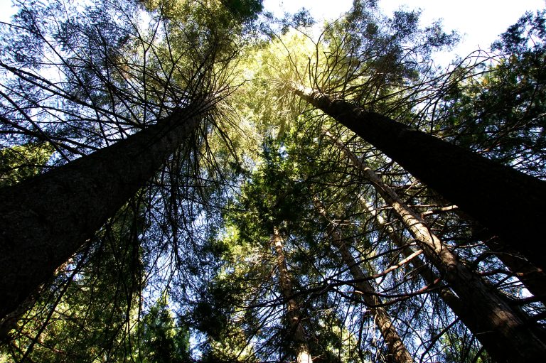
The General Sherman Tree, the largest tree on Earth by volume, in the Giant Forest, with Moro Rock and high country.
-
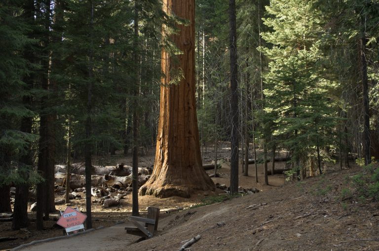 Giant Sequoia National Monument
Thirty-three groves of giant sequoias in Sequoia National Forest, with the paved Trail of 100 Giants and the ancient Boole Tree.
Straight-line distance between park centres. Road distance is usually longer.
Looking for somewhere closer to home?
See every park and monument within a day’s drive of where you are.