

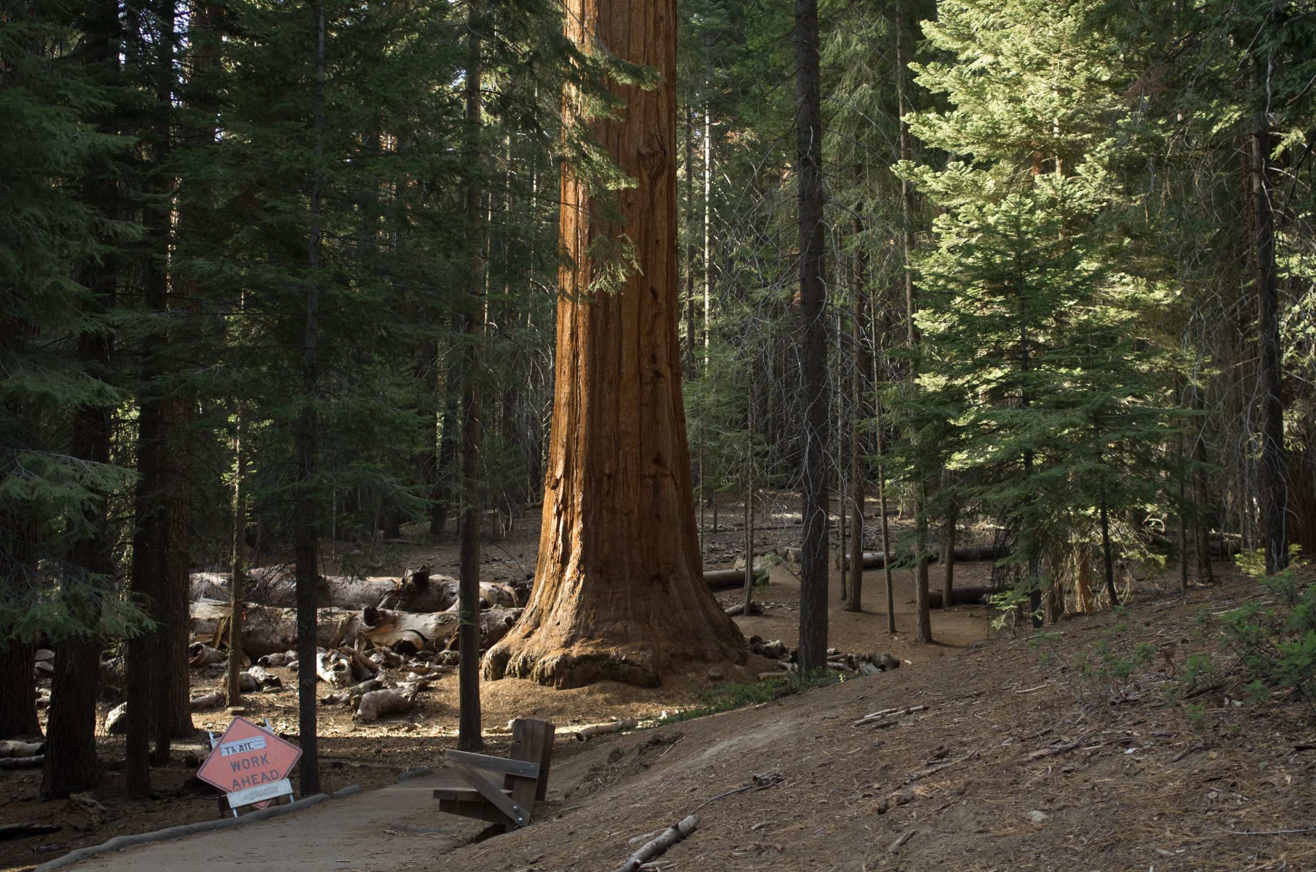
Giant Sequoia National Monument
Giant Sequoia National Monument protects 33 groves of the world’s largest trees in Sequoia National Forest, in two sections on either side of Sequoia and Kings Canyon national parks. Easy paved loops wind among the giants, and longer trails reach trees that survived the logging of the 1890s.
Fast facts
- Established: 2000
- Size: about 328,000 acres (1,330 km²) in two sections
- Groves: 33 giant sequoia groves
- Signature trees: the Trail of 100 Giants and the Boole Tree, more than 2,000 years old
- Gateways: Visalia, Porterville, Fresno and Kernville
- Managed by: the Forest Service (Sequoia National Forest)
The landscape
Giant sequoias grow only on the western slope of the Sierra Nevada, mostly between 5,000 and 7,000 feet (1,520 and 2,130 m). Here they stand among pine and fir above the deep canyons of the Kings and Kern rivers. Converse Basin, once one of the largest groves, was logged between 1892 and 1918, and its huge stumps remain. Wildfires in 2020 and 2021 killed many large sequoias, and the forest is recovering.
Best time to go
Late spring to fall, when roads and trails are clear of snow. Summer is warm in the groves and hot at lower elevations. Winter brings snow, and some roads close.
Getting there and around
The northern section surrounds Highway 180 and Hume Lake near Kings Canyon National Park. The southern section is reached by the Western Divide Highway, off Highway 190 east of Porterville. Mountain roads are long and winding.
Things to do
The Trail of 100 Giants, a paved loop of about 1.3 miles (2.1 km) off the Western Divide Highway, passes more than a hundred large sequoias and is accessible to wheelchairs and strollers; it is open from about late May to fall. Hume Lake is a popular spot for swimming and paddling.
The Boole Tree Loop, about 2.2 miles (3.5 km), climbs to one of the largest giant sequoias, spared when the rest of Converse Basin was cut. Longer trails and forest roads lead to less-visited groves and the river canyons.
Staying safe
Mountain roads are narrow and winding. Black bears are common: store food properly. Watch for falling branches and trees weakened by fire. Snow can arrive early in fall.
Know before you go
Some sites charge day-use or parking fees. Campgrounds are run by the Forest Service and concessionaires. This page is a general overview, not a live conditions report, so confirm road and trail status with the Forest Service before you go.
- Coordinates
- 36.3221, -118.7703
- Magnetic declination
- 11.9° E (2026)
Set this declination on your compass, then align it to the map's north lines; it is the angle between true north and magnetic north, refreshed each year.
How declination works, and how to navigate with a map and compass
A spread of the park’s main places shows straight away, and the rest appear as you zoom in. You can also search above, or pick any place from the lists below, and the map will go to it. Places in bold, marked , have a short description.
Getting there 4
Airstrip
Ranger stations
On the trail 49
Trailheads
Route
Campgrounds
Picnic sites
Sights 48
Viewpoints
Waterfalls
Lakes
Beaches
Heritage site
Points of interest
Peaks 30
Map data comes from third-party sources and may be incomplete or out of date, so carry a current official map (terms).
Looking for one of these closer to home?Destinations near me by trip type →
- Best seasons
- Late spring, Summer, Fall
- Difficulty
- Easy to moderate
- Access / trailheads
- Northern section off Highway 180 near Kings Canyon; southern section on the Western Divide Highway off Highway 190.
- Water
- At developed campgrounds in season; treat stream water.
- Cell / satellite coverage
- Little to none in most groves.
- Nearest ranger / SAR / emergency
- Emergencies: 911. Sequoia National Forest: 559-784-1500.
- Permits & regulations
- Day-use or parking fees at some sites. Campground reservations through Recreation.gov.
- Leave No Trace
- Stay on trails around sequoia roots, store food from bears, and pack out all waste.
January
- Below-freezing nights
February
- Below-freezing nights
March
- Below-freezing nights
April
- Below-freezing nights
May
June
July
August
September
October This month
November
- Below-freezing nights
December
- Below-freezing nights
What to bring depends on your trip: how long you’re out, where you sleep, and how far you go from the road. The planner builds the list for yours.
Plan a trip here →Averages for 1991–2020 from NOAA U.S. Climate Normals, measured at the Grant Grove station, 8 miles (12 km)12 km (8 miles) away at 6,580 feet (2,006 m)2,006 m (6,580 feet). Higher trails run colder, by about 3.5°F for every 1,000 ft (2°C per 300 m)2°C for every 300 m (3.5°F per 1,000 ft) of climb. Daylight runs from sunrise to sunset on the 15th, on the park’s own clock, for a level horizon. Valleys and slopes facing away from the sun are in shade earlier.
Nearby parks
-
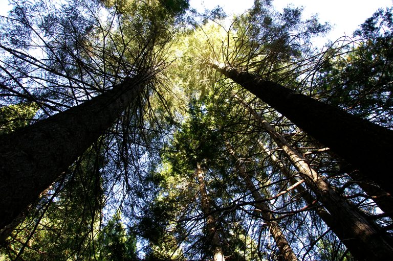 Sequoia National Park
The General Sherman Tree, the largest tree on Earth by volume, in the Giant Forest, with Moro Rock and high country.
-
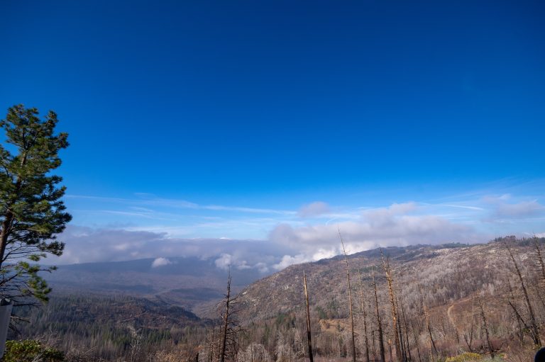 Kings Canyon National Park
One of North America's deepest canyons, in the southern Sierra, with giant sequoias and a vast roadless high country.
-
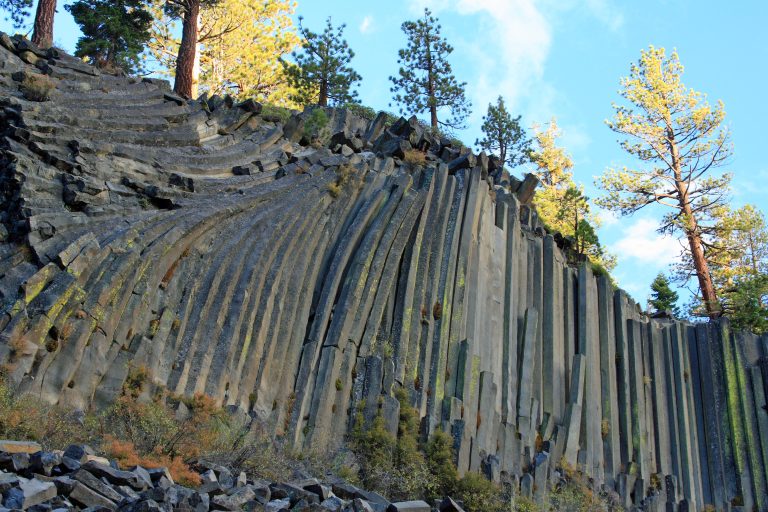 Devils Postpile National Monument
Basalt columns up to 60 feet (18 m) tall and 101-foot (31 m) Rainbow Falls near Mammoth Lakes, where the JMT and PCT cross.
-
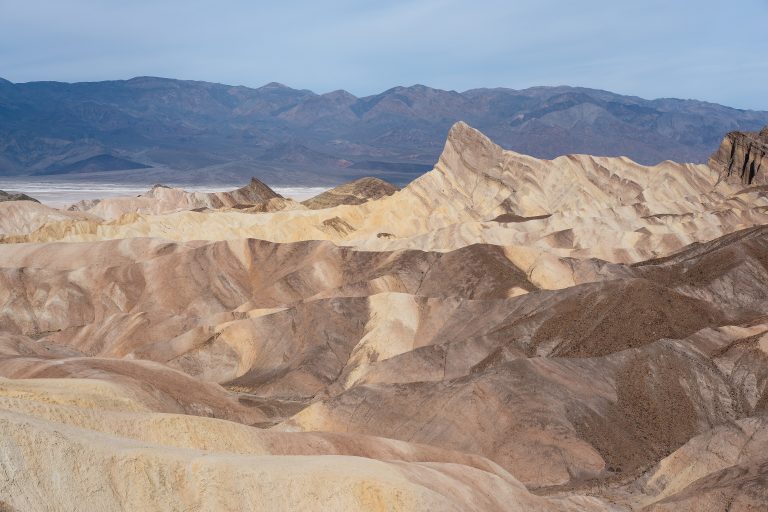 Death Valley National Park
The hottest, driest, lowest national park: Badwater Basin, 282 feet (86 m) below sea level, dunes and salt flats.
Straight-line distance between park centres. Road distance is usually longer.
Looking for somewhere closer to home?
See every park and monument within a day’s drive of where you are.