

Katahdin Woods and Waters National Monument
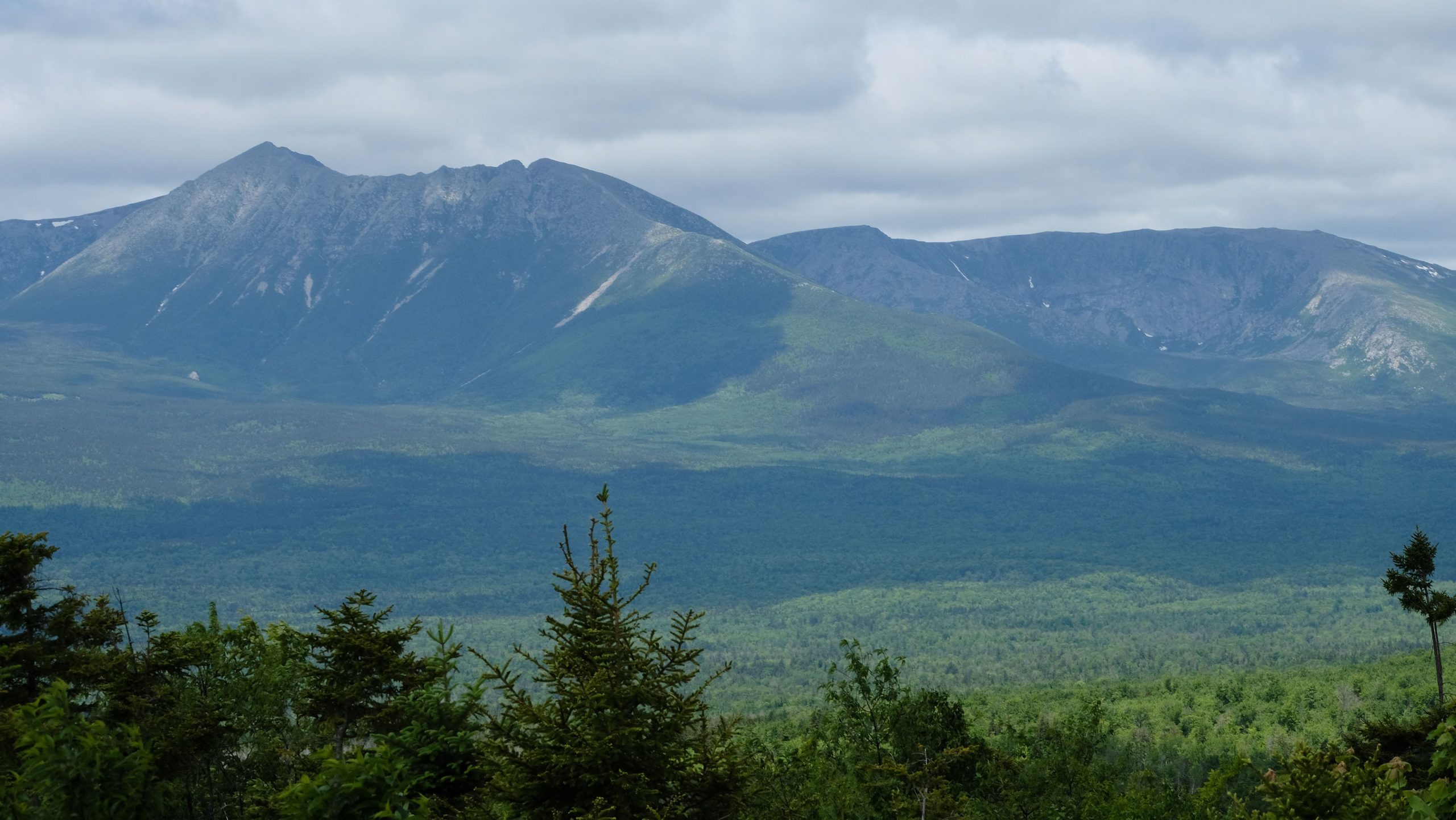
Katahdin Woods and Waters is a wild tract of northern Maine forest on the East Branch of the Penobscot River, just east of Baxter State Park and Mount Katahdin. A gravel loop road with a sweeping view of Katahdin makes an easy day, and lean-tos, huts and the International Appalachian Trail make it a place for multi-day hikes, paddling and winter trips.
Fast facts
- Established: 2016, on land donated by Roxanne Quimby’s family foundation
- Size: about 87,500 acres (354 km²)
- Night sky: an International Dark Sky Sanctuary
- Long trail: the International Appalachian Trail runs through the monument
- Gateways: Millinocket, Medway and Patten
- Managed by: the National Park Service
The landscape
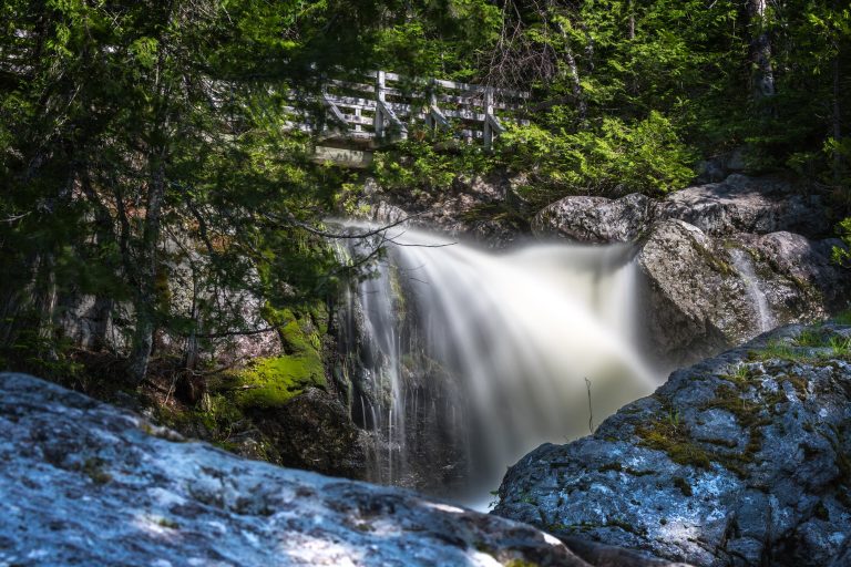
The monument is mixed northern forest of spruce, fir, birch and maple, cut by the East Branch of the Penobscot, the Seboeis River and the Wassataquoik Stream, with waterfalls and rapids along them. Low mountains such as Barnard Mountain look west across Katahdin Lake to Katahdin. Moose, black bears, beavers and loons live here, and fall colour is vivid.
Best time to go
Summer and early fall are best for hiking and paddling, with blackflies and mosquitoes in June. Late September and early October bring fall colour. Winter is long and snowy, averaging 73 inches (185 cm), for skiing and snowshoeing to backcountry huts.
Getting there and around
The monument is about 1.5 hours north of Bangor on Route 11. The south entrance is via Swift Brook Road, a private logging road, to the 17-mile (27 km) Katahdin Loop Road; the north entrance is off Route 159 near Shin Pond. Both entrances are gravel and usually open to vehicles from late May to late October; logging trucks have the right of way.
Things to do
Drive the Katahdin Loop Road to the overlook for a wide view of Katahdin and the surrounding mountains, and walk short trails such as the Lichen Trail or the Deasey Ponds trail. Orin Falls is a half-day hike to cascades on the Wassataquoik.
Barnard Mountain, 1,558 feet (475 m), looks across Katahdin Lake to the mountain. The International Appalachian Trail makes a two- to three-day trip through the monument between lean-tos and campsites, and paddlers run the East Branch of the Penobscot past falls and portages. In winter, skiers and snowshoers reach reservable backcountry huts.
Staying safe
Services are few and cell coverage is poor, so bring a map, extra food and a full tank of fuel. Logging roads carry heavy trucks: pull over and let them pass. Rivers have rapids and falls that must be scouted or portaged. Winter trips demand full cold-weather skills. Blackflies and ticks are thick in early summer.
Know before you go
There is no entrance fee. Campsites, lean-tos and huts are reserved in advance. Roads close to wheeled vehicles from about mid-November to late May. This page is a general overview, not a live conditions report, so confirm road access and site availability with the National Park Service before you go.
- Coordinates
- 45.9765, -68.6915
- Magnetic declination
- 15.5° W (2026)
Set this declination on your compass, then align it to the map's north lines; it is the angle between true north and magnetic north, refreshed each year.
How declination works, and how to navigate with a map and compass
A spread of the park’s main places shows straight away, and the rest appear as you zoom in. You can also search above, or pick any place from the lists below, and the map will go to it. Places in bold, marked , have a short description.
Getting there 1
Visitor centre
On the trail 25
Trailheads
Campgrounds
Huts and shelters
Picnic site
Sights 29
Viewpoints
Waterfall
Lakes
Point of interest
Peaks 10
Map data comes from third-party sources and may be incomplete or out of date, so carry a current official map (terms).
Looking for one of these closer to home?Destinations near me by trip type →
- Best seasons
- Summer, Early fall (foliage), Winter (ski and snowshoe huts)
- Difficulty
- Easy to strenuous
- Access / trailheads
- Route 11 north of Bangor; south entrance via Swift Brook Road to the Katahdin Loop Road, north entrance off Route 159 near Shin Pond. Gravel, closed to vehicles mid-November to late May.
- Water
- Plentiful in streams and rivers; treat all water.
- Cell / satellite coverage
- Poor to none in most of the monument.
- Nearest ranger / SAR / emergency
- Emergencies: 911. Monument office: 207-456-6001.
- Permits & regulations
- No entrance fee. Reservations for campsites, lean-tos and winter huts.
- Leave No Trace
- Camp at designated sites, store food away from bears, pack out all trash, and keep fires in fire rings.
January
- Below freezing all day
February
- Below freezing all day
March
- Below-freezing nights
April
- Below-freezing nights
May
June
July
August
September
October This month
November
- Below-freezing nights
December
- Below freezing all day
What to bring depends on your trip: how long you’re out, where you sleep, and how far you go from the road. The planner builds the list for yours.
Plan a trip here →Averages for 1991–2020 from NOAA U.S. Climate Normals, measured at the Patten station, 13 miles (21 km)21 km (13 miles) away at 820 feet (250 m)250 m (820 feet). Higher trails run colder, by about 3.5°F for every 1,000 ft (2°C per 300 m)2°C for every 300 m (3.5°F per 1,000 ft) of climb. Daylight runs from sunrise to sunset on the 15th, on the park’s own clock, for a level horizon. Valleys and slopes facing away from the sun are in shade earlier.
Nearby parks
-
 Baxter State Park
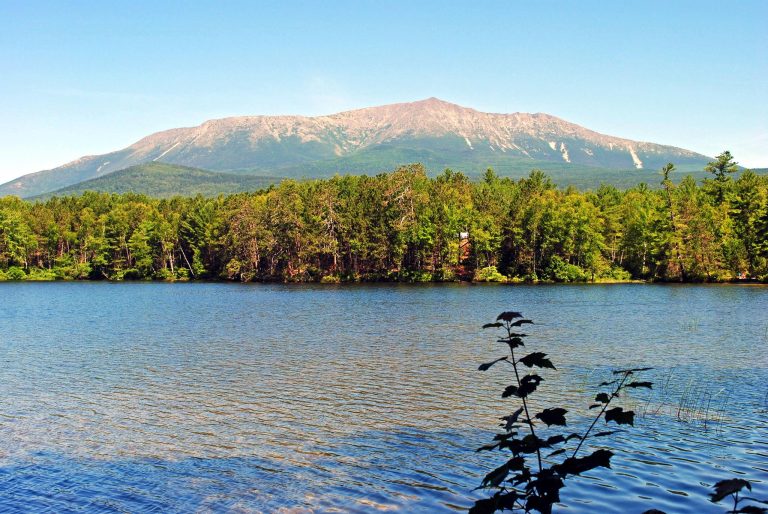
Katahdin, the end of the Appalachian Trail, and 200,000 acres (810 km²) of Maine wilderness kept forever wild.
-
 Allagash Wilderness Waterway
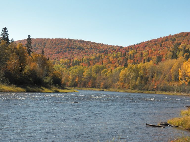
A 92-mile (148 km) ribbon of lakes and river through Maine's North Woods, paddled from Chamberlain Lake to Allagash.
-
 Acadia National Park
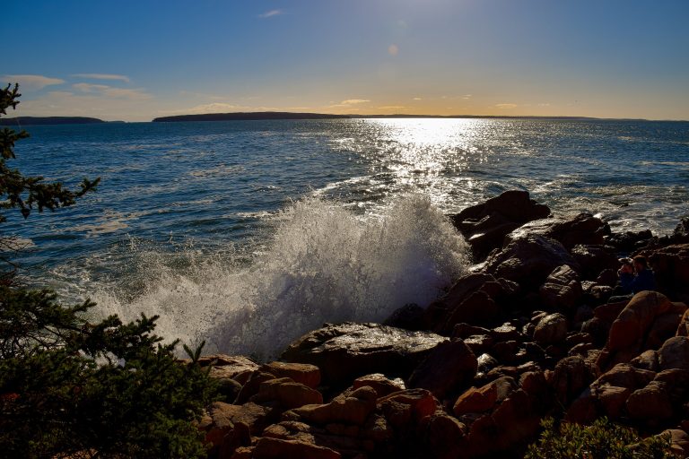
Granite summits rising straight from the Atlantic on Maine's Mount Desert Island, with carriage roads and iron-rung trails.
-
 Mount Carleton Provincial Park
The highest peak in the Maritimes rising over a chain of wild lakes, in a dark-sky preserve deep in New Brunswick's highlands.
Straight-line distance between park centres. Road distance is usually longer.
Looking for somewhere closer to home?
See every park and monument within a day’s drive of where you are.