

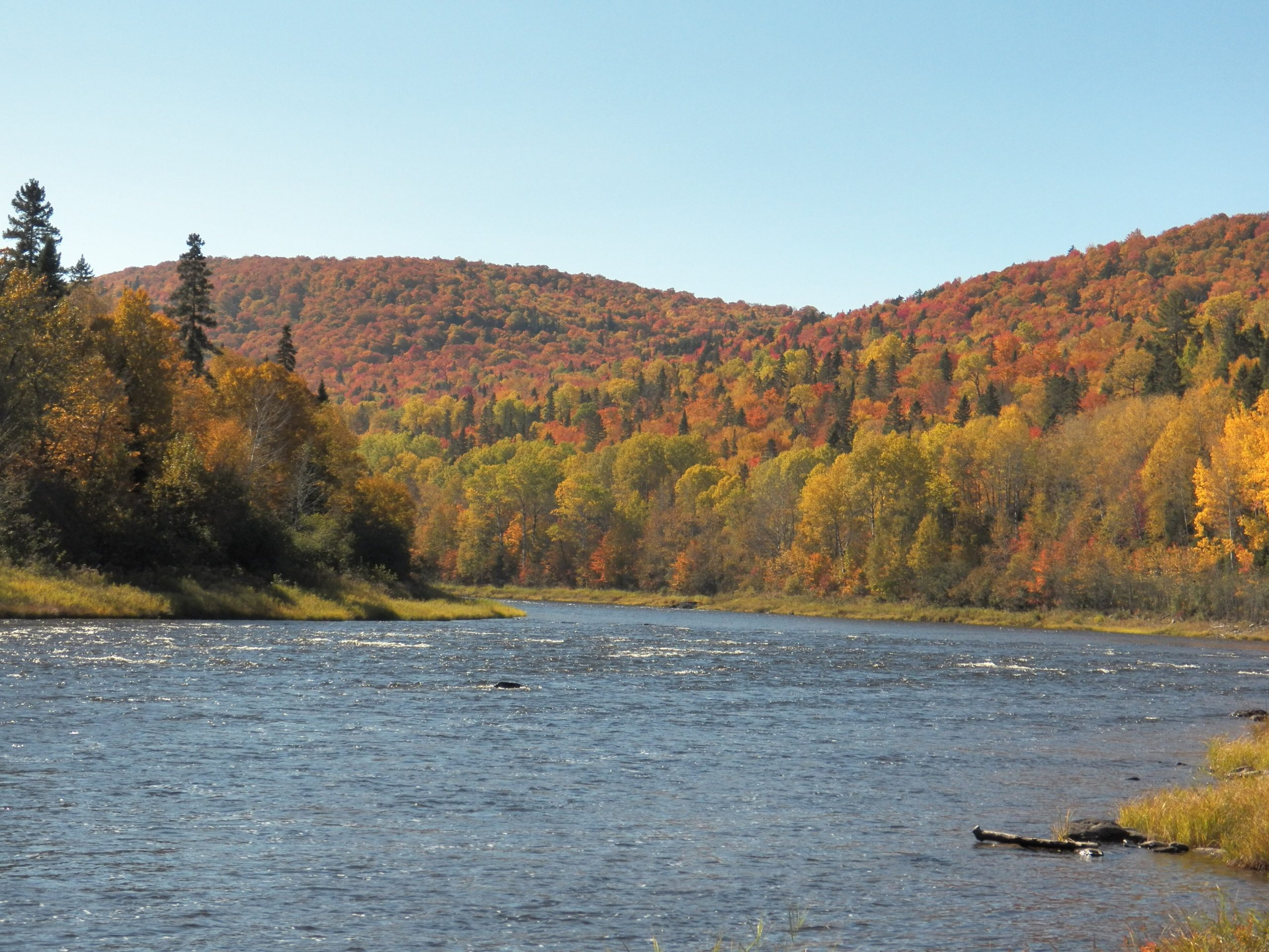
Allagash Wilderness Waterway
Fast facts
- Established: 1966; a National Wild and Scenic River since 1970
- Length: 92 miles (148 km) of lakes, ponds and river
- Character: a protected corridor through the commercial forest of northern Maine
- Gateway: Millinocket and the village of Allagash
- Managed by: Maine Bureau of Parks and Lands
The landscape
The Allagash flows north through the North Woods from a chain of big lakes, including Chamberlain, Eagle and Churchill, down a winding river to the St. John near the Canadian border. Spruce-fir forest lines the banks, and the waterway passes logging history such as the abandoned locomotives at Eagle Lake. Moose, loons, bald eagles and brook trout are common.
Best time to go
Ice-out comes in May. June brings high water and blackflies; July and August bring warmer weather and lower water, with more rocks showing in the river. September is cool and beautiful, with fewer bugs.
Getting there and around
Put-ins are reached by long drives on gravel logging roads through North Maine Woods checkpoints, where fees are paid. Most paddlers start at Chamberlain Bridge or Churchill Dam and paddle north over a week or more, arranging a shuttle from the village of Allagash.
Things to do
The full waterway is a classic week-to-ten-day canoe trip, mixing big-lake crossings with river travel. Chase Rapids below Churchill Dam offers the main whitewater, and Allagash Falls requires a portage. Fishing, moose watching and historic sites fill the days.
Staying safe
Big lakes such as Chamberlain can build dangerous waves in wind; stay near shore and cross early. Scout Chase Rapids and portage Allagash Falls. Water is cold early in the season, and low water later can make the river slow and rocky. There is no cell service, so carry a satellite messenger and leave a trip plan. Drive logging roads carefully and yield to trucks.
Know before you go
Register at the checkpoints and camp only at designated sites. This page is a general overview, not a live conditions report, so confirm water levels and rules with the Maine Bureau of Parks and Lands before you go.
- Coordinates
- 46.5773, -69.3377
- Magnetic declination
- 15.4° W (2026)
Set this declination on your compass, then align it to the map's north lines; it is the angle between true north and magnetic north, refreshed each year.
How declination works, and how to navigate with a map and compass
A spread of the park’s main places shows straight away, and the rest appear as you zoom in. You can also search above, or pick any place from the lists below, and the map will go to it. Places in bold, marked , have a short description.
Getting there 2
Airstrip
Ranger station
On the trail 40
Campgrounds
Sights 40
Waterfalls
Lakes
Heritage sites
Points of interest
Islands
Map data comes from third-party sources and may be incomplete or out of date, so carry a current official map (terms).
Looking for one of these closer to home?Destinations near me by trip type →
- Best seasons
- Summer, Early fall
- Difficulty
- Moderate to strenuous
- Access / trailheads
- Private logging roads through North Maine Woods checkpoints to put-ins such as Chamberlain Bridge and Churchill Dam. The waterway ends at the village of Allagash.
- Water
- Lakes and river; treat all water.
- Cell / satellite coverage
- None. Carry a satellite messenger.
- Nearest ranger / SAR / emergency
- Emergencies: 911 by satellite device; waterway rangers are stationed along the route.
- Permits & regulations
- Waterway camping fees apply, and visitors register at entry checkpoints. North Maine Woods gate fees apply on the logging roads.
- Leave No Trace
- Camp only at designated campsites, use the fire rings, and pack out all waste.
January
- Below freezing all day
February
- Below freezing all day
March
- Below-freezing nights
April
- Below-freezing nights
May
June
July
August
September
October This month
- Below-freezing nights
November
- Below-freezing nights
December
- Below freezing all day
What to bring depends on your trip: how long you’re out, where you sleep, and how far you go from the road. The planner builds the list for yours.
Plan a trip here →Averages for 1991–2020 from NOAA U.S. Climate Normals, measured at the Clayton Lake station, 9 miles (15 km)15 km (9 miles) away at 1,000 feet (305 m)305 m (1,000 feet). Higher trails run colder, by about 3.5°F for every 1,000 ft (2°C per 300 m)2°C for every 300 m (3.5°F per 1,000 ft) of climb. Daylight runs from sunrise to sunset on the 15th, on the park’s own clock, for a level horizon. Valleys and slopes facing away from the sun are in shade earlier.
Nearby parks
-
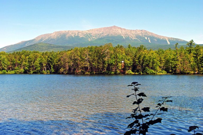 Baxter State Park
Katahdin, the end of the Appalachian Trail, and 200,000 acres (810 km²) of Maine wilderness kept forever wild.
-
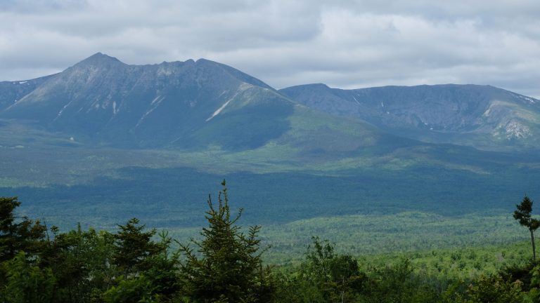 Katahdin Woods and Waters National Monument
Northern Maine forest and rivers beside Katahdin, with a scenic loop road, lean-tos, winter huts and the International Appalachian Trail.
-
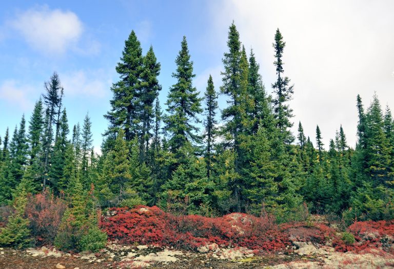 Parc national des Grands-Jardins
Taiga in Charlevoix: lichen carpets, black spruce and the cliffs of Mont du Lac des Cygnes, in a UNESCO biosphere reserve.
-
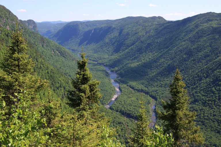 Parc national de la Jacques-Cartier
A glacial valley more than 1,800 feet (550 m) deep, 30 minutes from Quebec City, with a river for paddling.
Straight-line distance between park centres. Road distance is usually longer.
Looking for somewhere closer to home?
See every park and monument within a day’s drive of where you are.