

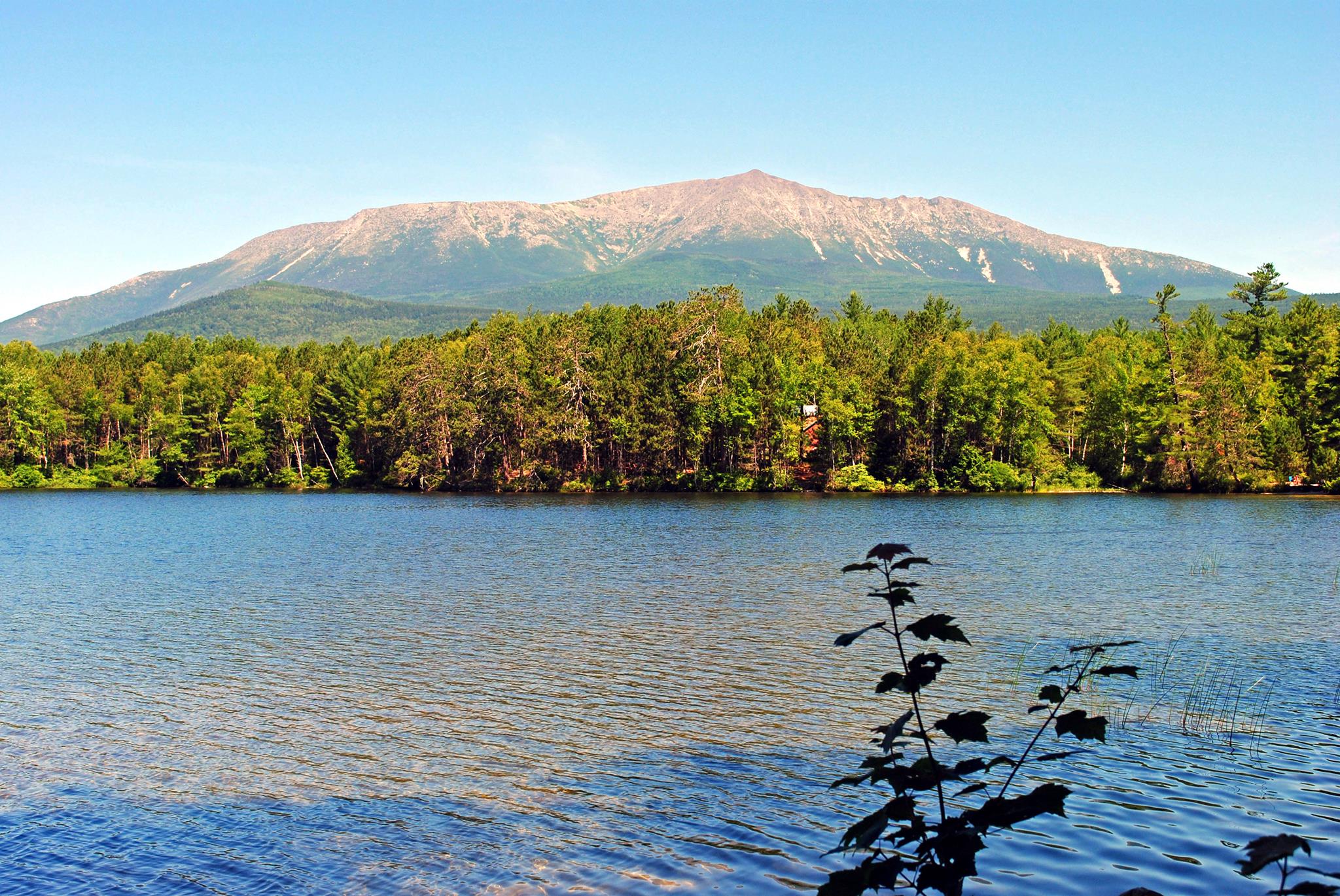
Baxter State Park
Fast facts
- Established: 1931, from land donated by former governor Percival P. Baxter
- Size: 209,644 acres (848 km²)
- Highest point: Katahdin (Baxter Peak), 5,267 feet (1,605 m), Maine’s highest mountain
- Trails: more than 220 miles (354 km), with 40-plus peaks
- Distinction: northern end of the Appalachian Trail
- Gateway: Millinocket
- Managed by: the Baxter State Park Authority, funded by Baxter’s endowment and user fees
The landscape
Katahdin rises alone above the lake-studded woods of northern Maine, a granite massif carved by glaciers into basins such as the Great Basin and ridges such as the knife-thin Knife Edge. Above treeline, the Tableland is open alpine tundra. Around it the park spreads into more than 40 other peaks, ponds, streams and northern hardwood and spruce forest. Baxter gave the land on the condition that it be kept wild, and the park is run with fewer roads, facilities and services than most. Moose are commonly seen, along with black bears, loons and brook trout.
Best time to go
Katahdin trails usually open in late May or June and close for the season in mid-October; in winter the mountain is for experienced parties with a permit. July and August bring the most hikers and full trailhead parking. Late September and early October offer fall colour and cooler climbing weather, with a real chance of ice and snow up high. Blackflies are fierce in late May and June.
Getting there and around
Most visitors drive from Millinocket to the Togue Pond gatehouse at the south end. From there the narrow gravel Park Tote Road runs the length of the park to the Matagamon gate in the north, with a low speed limit and no services. Katahdin’s main trailheads are at Roaring Brook, Katahdin Stream and Abol campgrounds, and parking at each is capped.
Things to do
Climbing Katahdin is the draw: about 4,000 feet (1,220 m) of climbing and eight to twelve hours round trip, by the Hunt Trail (the end of the Appalachian Trail), the Abol Trail, or from Chimney Pond. Elsewhere, quieter peaks such as the Traveler and Doubletop, backcountry lean-tos and paddling on remote ponds offer days without the crowds. Moose watching at Sandy Stream Pond is a favorite at dawn.
Staying safe
Katahdin is a very strenuous climb and most of the upper routes are exposed, with little water after the first mile or two. Start early and set a turnaround time. The Knife Edge is fully exposed and should not be attempted in wind, rain or poor visibility; people have died on it. Weather on the Tableland can be far worse than at the trailhead. Rangers may close trails when conditions are dangerous, and those closures apply to you. Carry layers, water and a headlamp, and leave a trip plan.
Know before you go
Reserve Katahdin trailhead parking and campsites well ahead, and remember that pets are not allowed in the park. Appalachian Trail hikers finishing at Katahdin have their own permit rules. This page is a general overview, not a live conditions report, so check Baxter’s daily conditions report and current rules before you go.
- Coordinates
- 46.0153, -68.9249
- Magnetic declination
- 15.4° W (2026)
Set this declination on your compass, then align it to the map's north lines; it is the angle between true north and magnetic north, refreshed each year.
How declination works, and how to navigate with a map and compass
A spread of the park’s main places shows straight away, and the rest appear as you zoom in. You can also search above, or pick any place from the lists below, and the map will go to it. Places in bold, marked , have a short description.
Getting there 5
Park entrances
Ranger stations
On the trail 85
Trailheads
Route
Campgrounds
Huts and shelters
Picnic sites
Sights 89
Viewpoints
Waterfalls
Lakes
Beach
Point of interest
Island
Peaks 30
Map data comes from third-party sources and may be incomplete or out of date, so carry a current official map (terms).
Looking for one of these closer to home?Destinations near me by trip type →
- Best seasons
- Summer, Early fall (foliage)
- Difficulty
- Easy to strenuous
- Access / trailheads
- From Millinocket, drive to the Togue Pond gatehouse in the south, or enter at the Matagamon gate in the north. The unpaved Park Tote Road links the campgrounds and trailheads.
- Water
- Plentiful at lower elevations, scarce on the upper Katahdin trails; treat all water.
- Cell / satellite coverage
- Little to none in most of the park. Carry a map and a satellite messenger.
- Nearest ranger / SAR / emergency
- Emergencies: 911 and the nearest ranger station. Daily conditions line: 207-723-9500. Reservations: 207-723-5140.
- Permits & regulations
- Out-of-state vehicles pay an entrance fee. Day-use parking reservations are strongly recommended for the three Katahdin trailheads, especially in July, August and on weekends. All camping is by reservation. Pets are not permitted.
- Leave No Trace
- Camp only at reserved sites, carry out everything you carry in, stay on the trail above treeline, and leave pets at home.
January
- Below freezing all day
February
- Below freezing all day
March
- Below-freezing nights
April
- Below-freezing nights
May
June
July
August
September
October This month
November
- Below-freezing nights
December
- Below freezing all day
What to bring depends on your trip: how long you’re out, where you sleep, and how far you go from the road. The planner builds the list for yours.
Plan a trip here →Averages for 1991–2020 from NOAA U.S. Climate Normals, measured at the Patten station, 21 miles (33 km)33 km (21 miles) away at 820 feet (250 m)250 m (820 feet). Rain and snow from the Millinocket station, 32 miles (51 km)51 km (32 miles) away at 360 feet (110 m)110 m (360 feet). Higher trails run colder, by about 3.5°F for every 1,000 ft (2°C per 300 m)2°C for every 300 m (3.5°F per 1,000 ft) of climb. Daylight runs from sunrise to sunset on the 15th, on the park’s own clock, for a level horizon. Valleys and slopes facing away from the sun are in shade earlier.
Nearby parks
-
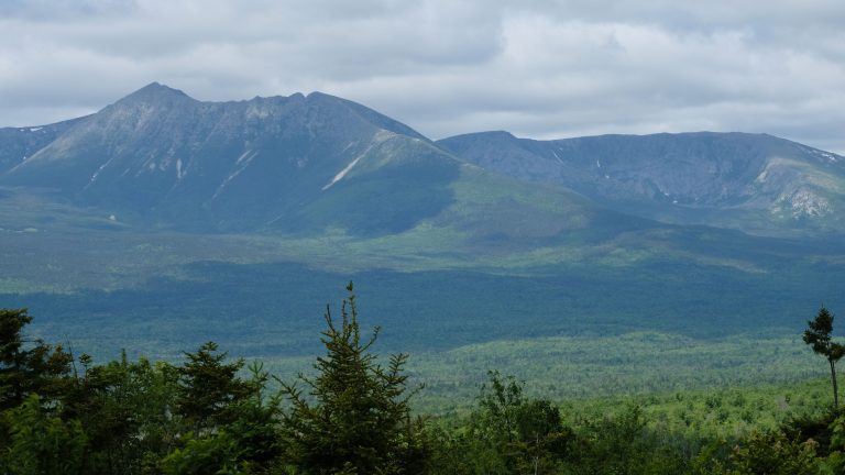 Katahdin Woods and Waters National Monument
Northern Maine forest and rivers beside Katahdin, with a scenic loop road, lean-tos, winter huts and the International Appalachian Trail.
-
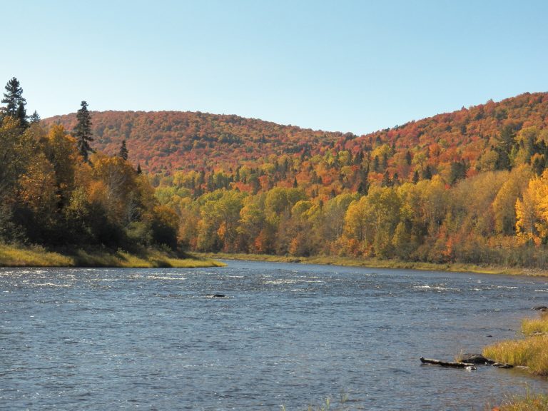 Allagash Wilderness Waterway
A 92-mile (148 km) ribbon of lakes and river through Maine's North Woods, paddled from Chamberlain Lake to Allagash.
-
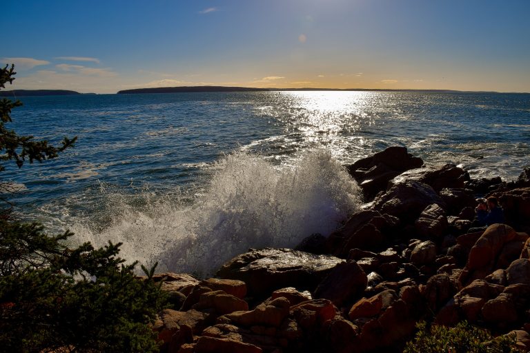 Acadia National Park
Granite summits rising straight from the Atlantic on Maine's Mount Desert Island, with carriage roads and iron-rung trails.
-
 Mount Carleton Provincial Park
The highest peak in the Maritimes rising over a chain of wild lakes, in a dark-sky preserve deep in New Brunswick's highlands.
Straight-line distance between park centres. Road distance is usually longer.
Looking for somewhere closer to home?
See every park and monument within a day’s drive of where you are.