

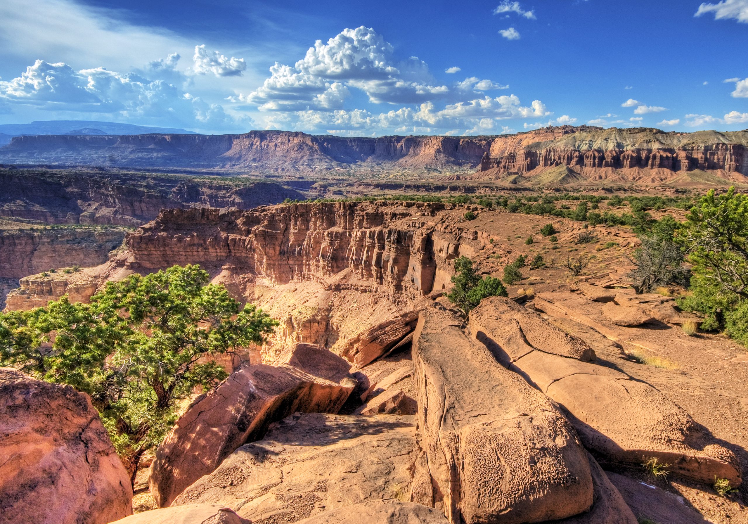
Capitol Reef National Park
Capitol Reef is Utah’s quiet red-rock gem, built around the Waterpocket Fold, a nearly 100-mile (160 km) wrinkle in the Earth’s crust that buckles the desert into cliffs, domes and hidden canyons. Add the green oasis of the historic Fruita orchards along the Fremont River, and you have a park that pairs rugged canyon country with an unexpectedly gentle, human heart.
Fast facts
- Established: national monument 1937; national park in 1971
- Size: about 241,900 acres (979 km²) in south-central Utah
- Signature feature: the Waterpocket Fold, a 100-mile (160 km) monocline
- Fruita: historic orchards you can pick in season
- Gateway: Torrey, Utah
- Managed by: National Park Service
The landscape
The Waterpocket Fold defines the park, tilted layers of colorful sandstone eroded into white domes (that reminded early visitors of capitol buildings), cliffs, arches and slot canyons. The Fremont River cuts through it, nourishing the cottonwoods and heritage fruit orchards of Fruita, while beyond the paved corridor stretch vast, remote stretches of desert reachable only by dirt road.
Best time to go
Spring and fall offer the most comfortable hiking and, in late summer to fall, ripe fruit in the orchards. Summer is hot with monsoon flash-flood risk in the canyons, so hike early. Winter is cold and quiet, with the domes occasionally dusted in snow.
Getting there and around
Highway 24 runs free right through the park, passing the visitor center, Fruita and roadside sights, while the paid Scenic Drive branches south into the canyons. A vehicle is essential; the remote Cathedral Valley and Waterpocket districts need high-clearance or 4WD and careful preparation.
Things to do
Hike to the Hickman Bridge, up to the Cassidy Arch, or into the narrows of Grand Wash and Capitol Gorge. In season, pick apples, peaches or cherries in the Fruita orchards, tour the historic Gifford homestead, and drive the Scenic Drive; the more adventurous explore Cathedral Valley’s stark monoliths by 4WD.
Staying safe
Carry plenty of water and start early to beat desert heat, and never enter a narrow canyon when storms threaten, as flash floods arrive fast and deadly. Slickrock has steep, unfenced drop-offs, backcountry roads are remote and can be impassable when wet, and shade is scarce. Plan accordingly.
Know before you go
The scenic drive charges a fee (pass accepted), and backcountry camping needs a permit. Check orchard picking status and road conditions before you go. This page is a general overview, not a live conditions report; always confirm current conditions, closures and permits with the National Park Service before your trip.
- Coordinates
- 38.0665, -111.1427
- Magnetic declination
- 10.0° E (2026)
Set this declination on your compass, then align it to the map's north lines; it is the angle between true north and magnetic north, refreshed each year.
A spread of the park’s main places shows straight away, and the rest appear as you zoom in. You can also search above, or pick any place from the lists below, and the map will go to it.
On the trail 23
Trailheads
Campgrounds
Picnic sites
Sights 54
Viewpoints
Waterfalls
Heritage site
Point of interests
Peaks 20
Map data comes from third-party sources and may be incomplete or out of date, so carry a current official map (terms).
- Best seasons
- Spring, Fall
- Difficulty
- Easy to strenuous
- Access / trailheads
- In south-central Utah on Highway 24, which runs free through the park; the paved Scenic Drive (fee) heads south into the canyons. Nearest hub is Torrey.
- Water
- Potable water at the visitor center; carry water elsewhere, and treat river water.
- Cell / satellite coverage
- Little to no cell service. Carry a map and share your plans.
- Nearest ranger / SAR / emergency
- Contact park rangers; life-threatening emergencies: 911.
- Permits & regulations
- Per-vehicle entry fee for the scenic drive (America the Beautiful pass accepted); backcountry camping requires a permit.
- Leave No Trace
- Stay on trails and slickrock, protect cryptobiotic soil, pick fruit only in season from marked orchards, pack out all waste, and follow Leave No Trace.
January
- Below-freezing nights
February
- Below-freezing nights
March
April
May
June
July
- Hot days
August
September This month
October
November
- Below-freezing nights
December
- Below-freezing nights
What to bring depends on your trip: how long you’re out, where you sleep, and how far you go from the road. The planner builds the list for yours.
Plan a trip here →Averages for 1991–2020 from NOAA U.S. Climate Normals, measured at the Capitol Reef National Park station, 1 miles (2 km) away at 5,500 feet (1,676 m). Conditions change with elevation: expect it colder higher up.