

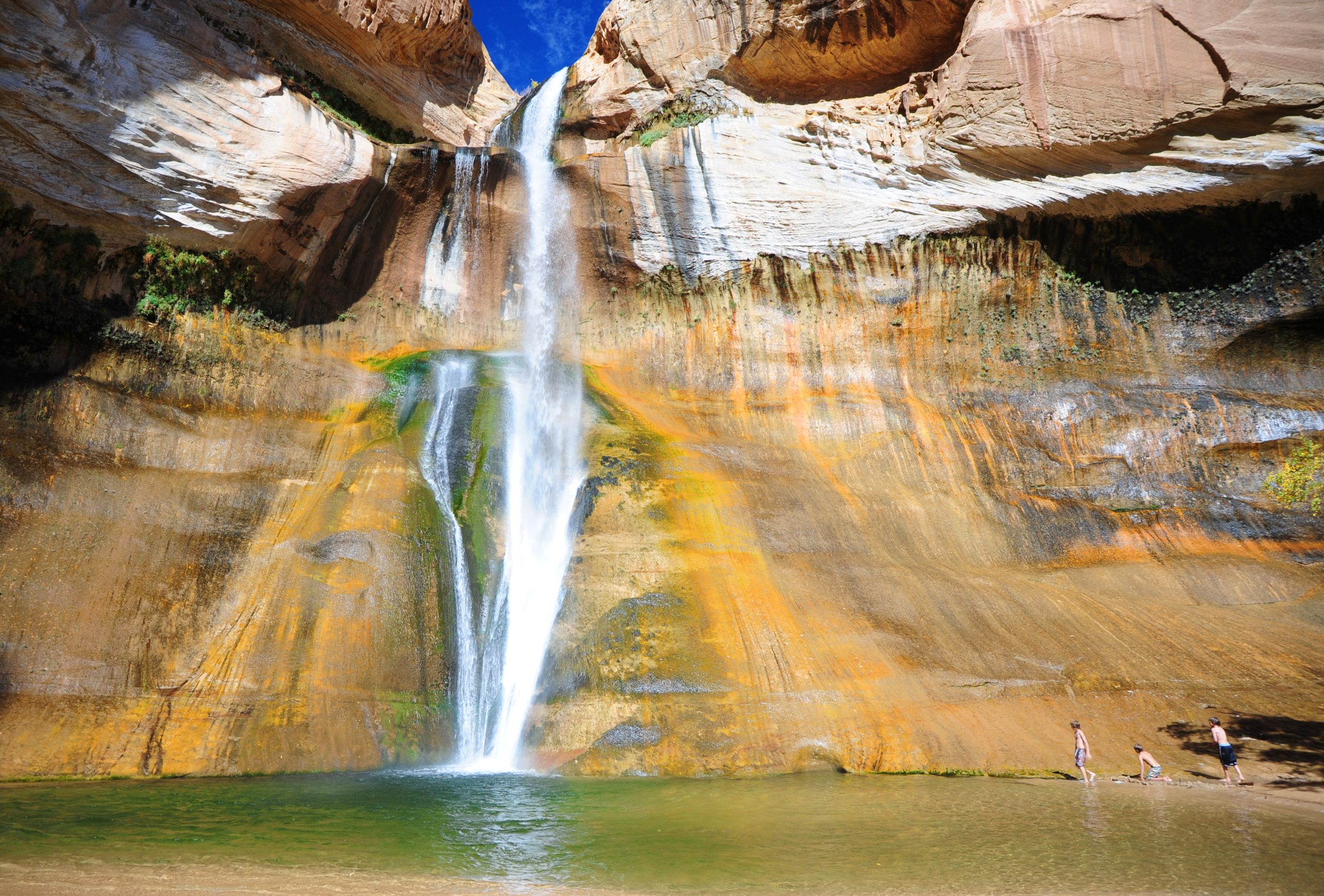
Grand Staircase-Escalante National Monument
Grand Staircase-Escalante is nearly 1.9 million acres (7,600 km²) of southern Utah canyon country, a plateau of cliffs, slickrock and slot canyons cut by the Escalante River and its side canyons. A waterfall walk and a few short slot canyons sit a short drive off the highway, and behind them lies some of the most remote backpacking in the lower 48, reached by long dirt roads and walked without trails.
Fast facts
- Established: 1996, the first national monument run by the Bureau of Land Management
- Size: nearly 1.9 million acres (7,600 km²), with boundaries cut in 2017 and restored in 2021
- Three regions: the Grand Staircase of cliffs in the west, the Kaiparowits Plateau in the middle and the Canyons of the Escalante in the east
- Gateways: Escalante and Boulder on Highway 12, Kanab and Big Water on US 89
- Visitor centers: Kanab (headquarters), Escalante, Cannonville and Big Water
- Managed by: the Bureau of Land Management
The landscape
The Grand Staircase climbs north from Arizona in a series of cliff bands, each a different colour of rock. East of it, the Kaiparowits Plateau is a high, dry, roadless block that has produced some of the richest dinosaur fossil finds in North America. The Escalante River and its tributaries have carved a maze of canyons into the Navajo sandstone on the east side: deep, narrow slot canyons, alcoves, arches and cottonwood bottoms with seasonal streams.
Best time to go
Spring (April to early June) and fall (mid-September to October) are the best seasons, with warm days and cold nights. Summer brings heat over 100°F (38°C) at lower elevations and the July-to-September monsoon, when afternoon storms send flash floods down the canyons. Winter is quiet and cold, with snow on the higher roads and ice in shaded slots.
Getting there and around
Highway 12 crosses the north of the monument between Escalante and Boulder, and US 89 runs along the south. Nearly every road into the interior is dirt: Hole-in-the-Rock Road runs about 62 miles (100 km) south from near Escalante to Lake Powell, and the Burr Trail, Cottonwood Canyon and Smoky Mountain roads link the rest. Graded roads are passable to ordinary cars when dry, but clay turns to impassable mud after rain, and many side roads need high clearance or four-wheel drive. Fuel and supplies are only in the towns.
Things to do
For an easy first visit, walk to Lower Calf Creek Falls off Highway 12, about 6 miles (10 km) round trip on sand to a 126-foot (38 m) waterfall and a cold pool. Near Kanab, the Toadstool Hoodoos trail is about 1.8 miles (2.9 km) round trip to balanced rock pillars. Devils Garden, a short drive down Hole-in-the-Rock Road, is a field of hoodoos and arches with no set trail to follow.
Farther down the same road, the Dry Fork slots, Peek-a-boo and Spooky, make a loop of about 3.5 miles (5.6 km) through canyons narrow enough that you turn sideways. Serious hikers come for the Escalante River itself, which is walked in the water between the town of Escalante and the Highway 12 bridge or followed for days downstream; for the Boulder Mail Trail across the slickrock between Boulder and Escalante; and for multi-day routes in the side canyons, where you navigate by map and there is no trail to follow. Coyote Gulch starts in the monument, but most of it lies in Glen Canyon National Recreation Area.
Staying safe
Flash floods are the main hazard. A storm miles away can fill a slot canyon with no warning where you stand, so check the forecast before entering one and stay out when storms are possible anywhere upstream. Heat and dehydration come next: carry more water than you expect to need, since springs are few and unreliable. Much of the monument has no trails, no signs and no phone signal, so carry a map, know how to read it, and leave a trip plan with someone at home. Some slots need rope skills or swimming through cold pools; know the route before you commit.
Know before you go
Overnight trips need a free backcountry permit, available at the visitor centers and at the main trailheads. Stay on existing roads; driving off them is prohibited. Road conditions change with every storm, so ask at a visitor center before heading down a dirt road. This page is a general overview, not a live conditions report, so confirm roads and conditions with the Bureau of Land Management before you go.
- Coordinates
- 37.5088, -111.7206
- Magnetic declination
- 10.1° E (2026)
Set this declination on your compass, then align it to the map's north lines; it is the angle between true north and magnetic north, refreshed each year.
How declination works, and how to navigate with a map and compass
A spread of the park’s main places shows straight away, and the rest appear as you zoom in. You can also search above, or pick any place from the lists below, and the map will go to it. Places in bold, marked , have a short description.
Getting there 2
Visitor centres
On the trail 9
Trailheads
Routes
Campgrounds
Picnic site
Sights 24
Viewpoints
Waterfalls
Heritage sites
Points of interest
Peaks
Map data comes from third-party sources and may be incomplete or out of date, so carry a current official map (terms).
Looking for one of these closer to home?Destinations near me by trip type →
- Best seasons
- Spring, Fall
- Difficulty
- Easy to strenuous
- Access / trailheads
- Highway 12 (Escalante, Boulder) on the north and US 89 (Kanab, Big Water) on the south. Interior access is by dirt road, including Hole-in-the-Rock Road and the Burr Trail, Cottonwood Canyon and Smoky Mountain roads; many need high clearance and all can be impassable when wet.
- Water
- Scarce. Carry all the water you need for day hikes; the Escalante River and a few springs are the only sources on longer trips, and all must be treated.
- Cell / satellite coverage
- Signal in the towns and in patches along Highway 12; none in most canyons or on the dirt roads. Carry a satellite messenger.
- Nearest ranger / SAR / emergency
- Emergencies: 911. Monument headquarters (Kanab): 435-644-1300. Escalante Interagency Visitor Center: 435-826-5499.
- Permits & regulations
- Free backcountry permit for every overnight trip, from the visitor centers or trailhead registers. No entrance fee for the monument; a fee applies at the Calf Creek recreation area. Driving off existing roads is prohibited.
- Leave No Trace
- Camp on durable surfaces away from springs and potholes, pack out all waste (human waste as well in narrow canyons), leave rock art, ruins and fossils untouched, and keep vehicles on existing roads.
January
- Below-freezing nights
February
- Below-freezing nights
March
- Below-freezing nights
April
- Day-to-night swing of 31°F (17°C)Day-to-night swing of 17°C (31°F)
May
- Day-to-night swing of 34°F (19°C)Day-to-night swing of 19°C (34°F)
June
- Day-to-night swing of 37°F (21°C)Day-to-night swing of 21°C (37°F)
July
- Hot days
- Day-to-night swing of 35°F (19°C)Day-to-night swing of 19°C (35°F)
August
- Day-to-night swing of 33°F (18°C)Day-to-night swing of 18°C (33°F)
September
- Day-to-night swing of 34°F (19°C)Day-to-night swing of 19°C (34°F)
October This month
- Day-to-night swing of 31°F (17°C)Day-to-night swing of 17°C (31°F)
November
- Below-freezing nights
December
- Below-freezing nights
What to bring depends on your trip: how long you’re out, where you sleep, and how far you go from the road. The planner builds the list for yours.
Plan a trip here →Averages for 1991–2020 from NOAA U.S. Climate Normals, measured at the Escalante station, 10 miles (16 km)16 km (10 miles) away at 5,810 feet (1,771 m)1,771 m (5,810 feet). Higher trails run colder, by about 3.5°F for every 1,000 ft (2°C per 300 m)2°C for every 300 m (3.5°F per 1,000 ft) of climb. Daylight runs from sunrise to sunset on the 15th, on the park’s own clock, for a level horizon. Valleys and slopes facing away from the sun are in shade earlier.
Nearby parks
-
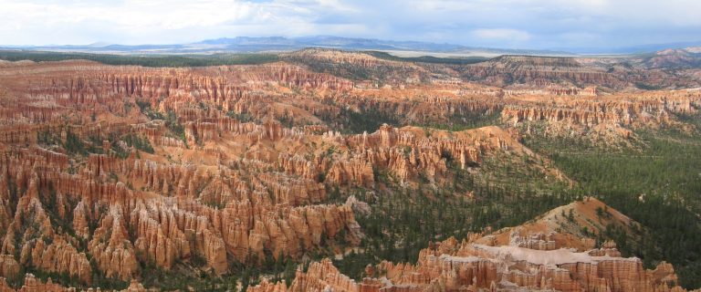 Bryce Canyon National Park
Amphitheaters of orange hoodoos on the edge of a high Utah plateau, with rim views and trails down among the spires.
-
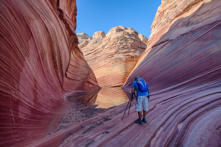 Vermilion Cliffs National Monument
The Wave, Coyote Buttes and the Paria Canyon backpacking route in northern Arizona, with condors on the cliffs above.
-
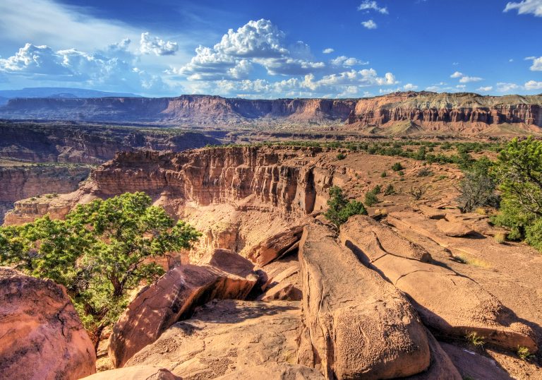 Capitol Reef National Park
The Waterpocket Fold, a 100-mile (160 km) wrinkle in Utah's crust, with slot canyons and Fruita's orchards.
-
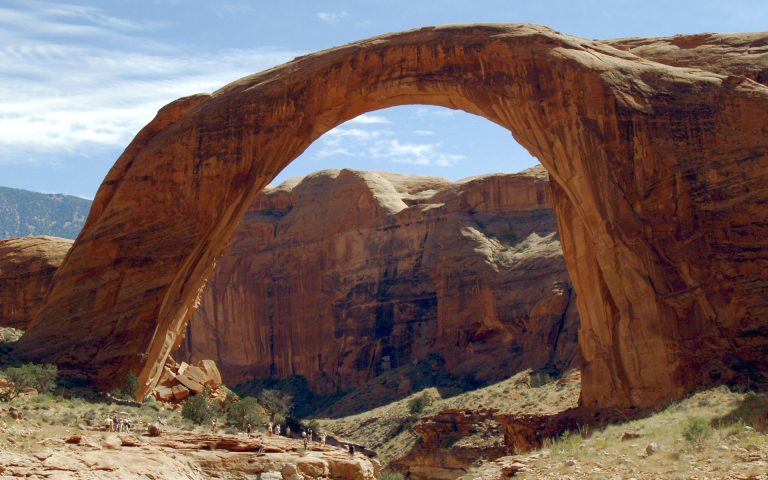 Rainbow Bridge National Monument
A 290-foot (88 m) sandstone bridge by Lake Powell, reached by boat and a short walk or by long trails across the Navajo Nation.
Straight-line distance between park centres. Road distance is usually longer.
Looking for somewhere closer to home?
See every park and monument within a day’s drive of where you are.