

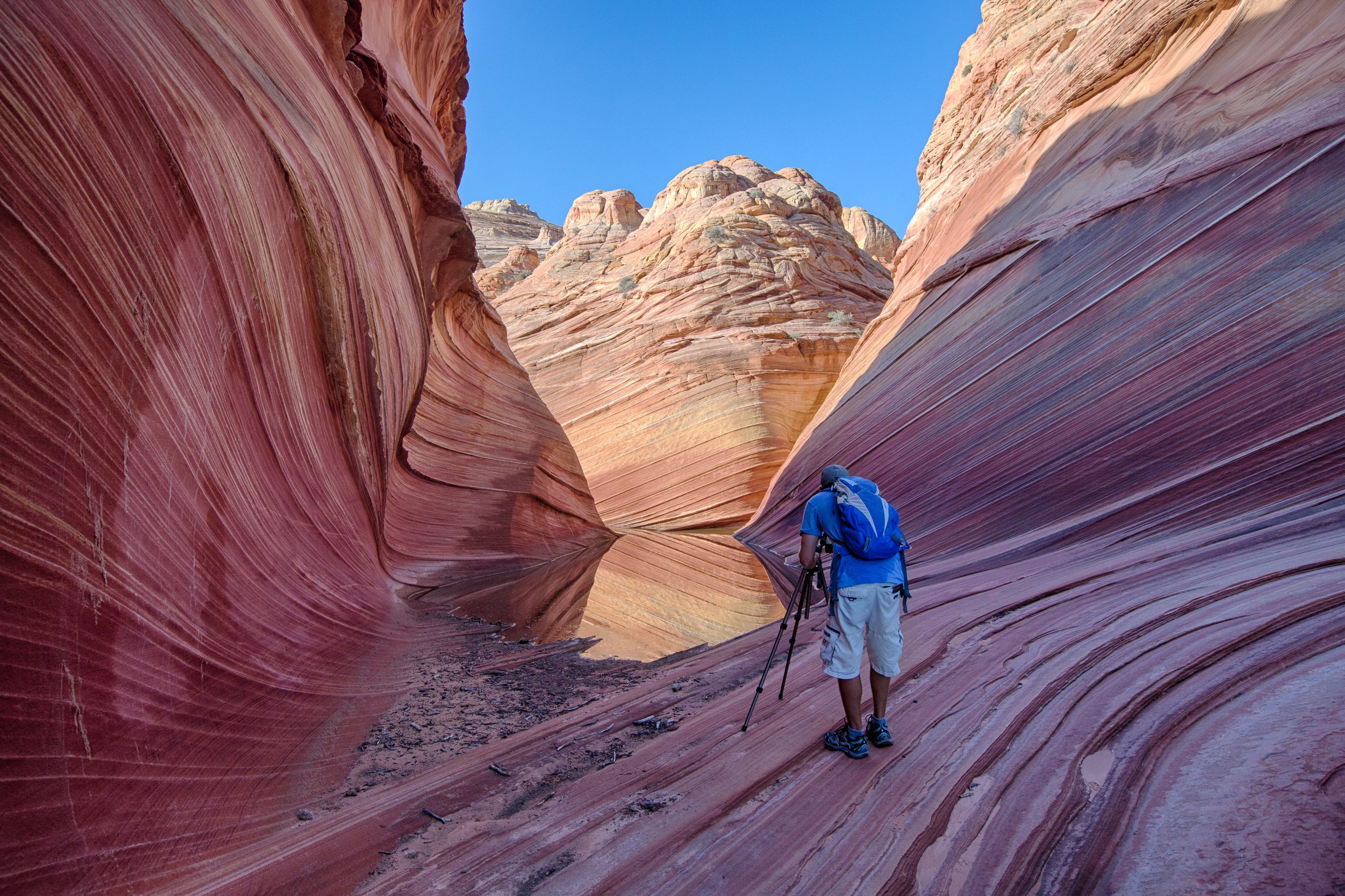
Vermilion Cliffs National Monument
Vermilion Cliffs covers about 280,000 acres (1,130 km²) of northern Arizona, from the 3,000-foot (900 m) wall of the Vermilion Cliffs to the swirling sandstone of Coyote Buttes, home of The Wave. It is a place of permit lotteries, deep-sand roads and multi-day canyon trips, with a condor viewing site for anyone passing through.
Fast facts
- Established: 2000
- Size: about 280,000 acres (1,130 km²), elevations 3,100 to 7,100 feet (945 to 2,165 m)
- Signature areas: Coyote Buttes North (The Wave), Coyote Buttes South, White Pocket, the Paria Plateau and Paria Canyon
- Wildlife: endangered California condors, released here since 1996
- Gateways: Kanab and Page, and Marble Canyon near Lees Ferry
- Managed by: the Bureau of Land Management
The landscape
The Vermilion Cliffs rise as a red escarpment along US 89A. Above them, the Paria Plateau is a high sandy tableland with some of the most striking sandstone in the Southwest: the curved, striped troughs of The Wave, the domes and teepees of Coyote Buttes South and the white-and-red swirls of White Pocket. To the east, the Paria River has cut a deep, narrow canyon that joins the Colorado at Lees Ferry.
Best time to go
Spring and fall are best for hiking and backpacking. Summer is very hot, with afternoon monsoon storms and flash floods from July to September. Winter is cold, with icy water and short days in Paria Canyon, and mud on the dirt roads.
Getting there and around
US 89A runs along the base of the cliffs between Jacob Lake and Marble Canyon. House Rock Valley Road (BLM 1065) is a maintained dirt road along the west side, leading to the condor viewing site, the Coyote Buttes trailheads and, across the Utah line, Wire Pass; it becomes impassable when wet. Roads onto the Paria Plateau cross deep sand and need four-wheel drive, high clearance and the skills to use them. The Paria Contact Station on US 89 in Utah is the main visitor stop.
Things to do
For a short visit, stop at the condor viewing site on House Rock Valley Road, where released birds are often seen along the cliffs, and drive US 89A beneath the red walls.
The Wave, in Coyote Buttes North, is reached by a walk of about 6 miles (10 km) round trip across open slickrock without a marked trail, and is limited to a small number of permit holders a day. Coyote Buttes South needs a permit and a deep-sand drive, and White Pocket needs no permit but a serious four-wheel-drive route or a guided tour. Paria Canyon is a classic backpacking trip of about 38 miles (61 km) from the White House trailhead in Utah to Lees Ferry, usually four to six days, much of it walking in the river. Buckskin Gulch and Wire Pass, among the longest and deepest slot canyons in the Southwest, lie just across the Utah line in the same wilderness and under the same permit system.
Staying safe
Flash floods are deadly in Paria Canyon and Buckskin Gulch, which have long stretches with no escape; never enter with storms in the forecast anywhere upstream. Summer heat on open slickrock is extreme, and The Wave route has no shade and no water. Deep sand traps vehicles, and help is hours away. Paria Canyon has quicksand and cold, knee-deep wading.
Know before you go
Coyote Buttes North (The Wave) is by lottery only, through an advance online lottery and a daily lottery. Coyote Buttes South and overnight trips in Paria Canyon need permits, with daily limits and fees. This page is a general overview, not a live conditions report, so confirm permits and road conditions with the Bureau of Land Management before you go.
- Coordinates
- 36.8427, -111.8055
- Magnetic declination
- 10.1° E (2026)
Set this declination on your compass, then align it to the map's north lines; it is the angle between true north and magnetic north, refreshed each year.
How declination works, and how to navigate with a map and compass
A spread of the park’s main places shows straight away, and the rest appear as you zoom in. You can also search above, or pick any place from the lists below, and the map will go to it. Places in bold, marked , have a short description.
Getting there 3
Park entrances
Airstrip
Sights 36
Viewpoints
Lakes
Heritage site
Points of interest
Peaks 12
Map data comes from third-party sources and may be incomplete or out of date, so carry a current official map (terms).
Looking for one of these closer to home?Destinations near me by trip type →
- Best seasons
- Spring, Fall
- Difficulty
- Moderate to strenuous
- Access / trailheads
- US 89A along the cliffs; House Rock Valley Road (BLM 1065, dirt, impassable when wet) to the Coyote Buttes trailheads; 4WD and high clearance for the Paria Plateau. Paria Contact Station on US 89 in Utah.
- Water
- None at The Wave or Coyote Buttes. Springs in Paria Canyon; treat all water, and the river is silty.
- Cell / satellite coverage
- Little to none off US 89A. Carry a satellite messenger.
- Nearest ranger / SAR / emergency
- Emergencies: 911. BLM Arizona Strip Field Office: 435-688-3200.
- Permits & regulations
- Lottery permits for Coyote Buttes North (The Wave); permits for Coyote Buttes South; overnight permits for Paria Canyon with a daily limit. Fees apply.
- Leave No Trace
- Stay off fragile sandstone fins at The Wave, pack out all waste (Paria Canyon requires human waste bags), camp above flood level, and keep vehicles on existing roads.
January
- Below-freezing nights
February
- Below-freezing nights
March
April
- Day-to-night swing of 30°F (17°C)Day-to-night swing of 17°C (30°F)
May
- Day-to-night swing of 31°F (17°C)Day-to-night swing of 17°C (31°F)
June
- Hot days
- Day-to-night swing of 33°F (18°C)Day-to-night swing of 18°C (33°F)
July
- Hot days
- Day-to-night swing of 31°F (17°C)Day-to-night swing of 17°C (31°F)
August
- Hot days
- Day-to-night swing of 31°F (17°C)Day-to-night swing of 17°C (31°F)
September
- Day-to-night swing of 33°F (18°C)Day-to-night swing of 18°C (33°F)
October This month
- Day-to-night swing of 31°F (17°C)Day-to-night swing of 17°C (31°F)
November
- Below-freezing nights
December
- Below-freezing nights
What to bring depends on your trip: how long you’re out, where you sleep, and how far you go from the road. The planner builds the list for yours.
Plan a trip here →Averages for 1991–2020 from NOAA U.S. Climate Normals, measured at the Paria Ranger Station, 19 miles (30 km)30 km (19 miles) away at 4,426 feet (1,349 m)1,349 m (4,426 feet). Higher trails run colder, by about 3.5°F for every 1,000 ft (2°C per 300 m)2°C for every 300 m (3.5°F per 1,000 ft) of climb. Daylight runs from sunrise to sunset on the 15th, on the park’s own clock, for a level horizon. Valleys and slopes facing away from the sun are in shade earlier.
Nearby parks
-
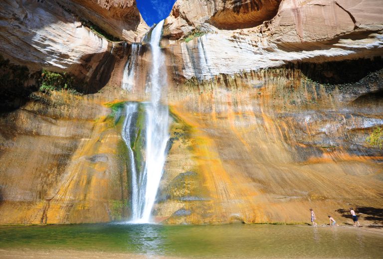 Grand Staircase-Escalante National Monument
Slot canyons, the Escalante River and Lower Calf Creek Falls across nearly 1.9 million acres (7,600 km²) of southern Utah.
-
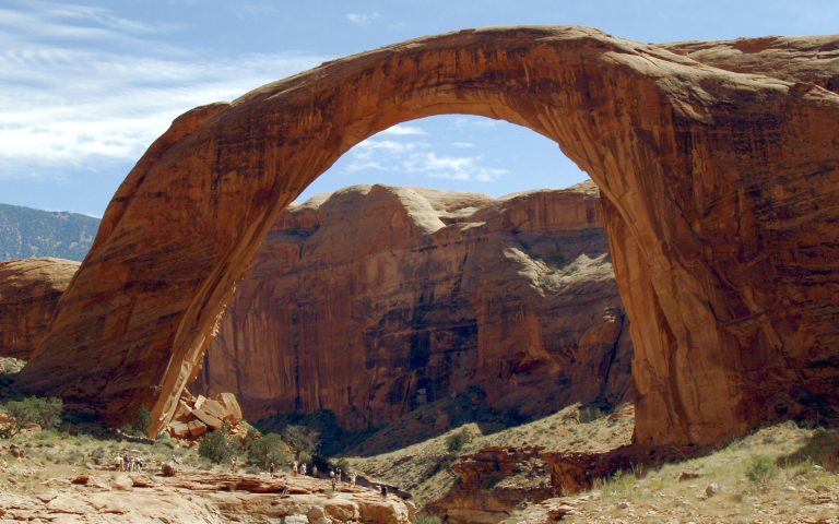 Rainbow Bridge National Monument
A 290-foot (88 m) sandstone bridge by Lake Powell, reached by boat and a short walk or by long trails across the Navajo Nation.
-
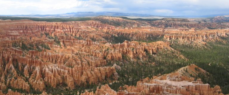 Bryce Canyon National Park
Amphitheaters of orange hoodoos on the edge of a high Utah plateau, with rim views and trails down among the spires.
-
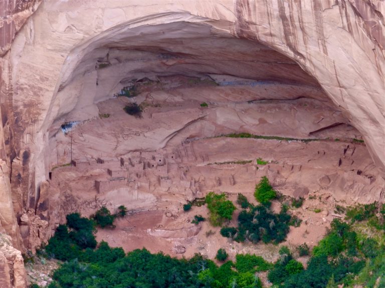 Navajo National Monument
The cliff villages of Betatakin and Keet Seel in Tsegi Canyon, with an easy overlook trail and a 17-mile (27 km) permit hike.
Straight-line distance between park centres. Road distance is usually longer.
Looking for somewhere closer to home?
See every park and monument within a day’s drive of where you are.