

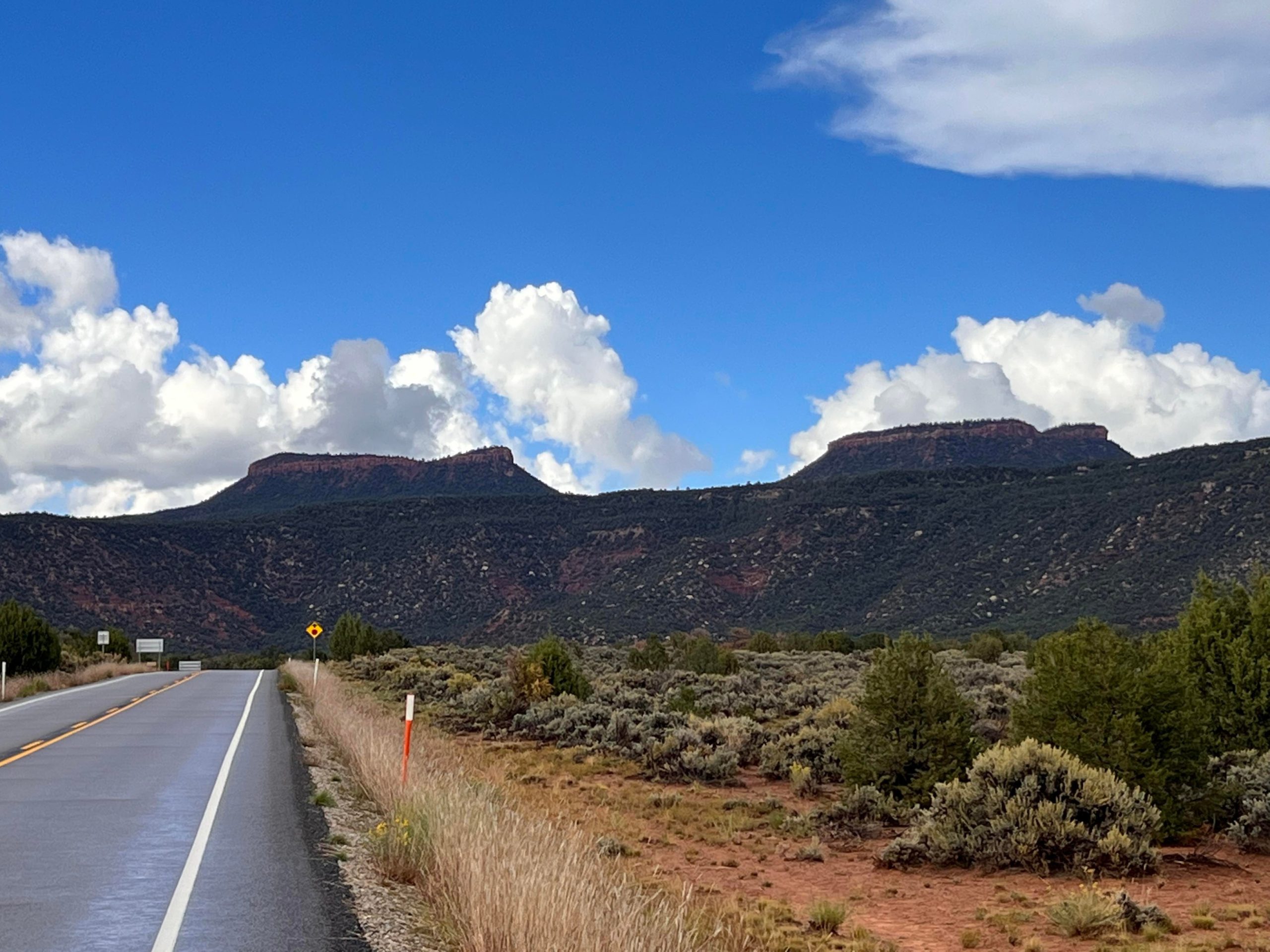
Bears Ears National Monument
Bears Ears is 1.36 million acres (5,500 km²) of mesas and canyons in southeastern Utah, named for the pair of buttes that rise above Cedar Mesa. It holds tens of thousands of ancestral Puebloan sites, from cliff dwellings reached on a short walk to granaries tucked into the walls of Grand Gulch, a classic multi-day backpacking canyon.
Fast facts
- Established: 2016; boundaries cut in 2017 and restored in 2021
- Size: about 1.36 million acres (5,500 km²)
- Co-managed by: the Bureau of Land Management, the Forest Service and the Bears Ears Commission of five tribes: the Hopi Tribe, Navajo Nation, Ute Indian Tribe, Ute Mountain Ute Tribe and Pueblo of Zuni
- Signature areas: Cedar Mesa and Grand Gulch, Indian Creek, Valley of the Gods and the Abajo Mountains
- Gateways: Blanding, Bluff and Monticello
- Ranger station: Kane Gulch, on Highway 261 at the Grand Gulch trailhead
The landscape
Cedar Mesa is a high plateau of pinyon and juniper at about 6,400 feet (1,950 m), split by canyons that drop into the San Juan River. Their alcoves shelter cliff dwellings, granaries, rock art and middens left by people who farmed here more than 700 years ago, and many sites have never been excavated. To the north, the red walls of Indian Creek are lined with cracks that draw climbers from around the world; to the south, the sandstone buttes of Valley of the Gods stand over open desert.
Best time to go
Spring and fall are best, with mild days on the mesa and cold nights. Summer is hot in the canyons, and July to September brings monsoon storms and flash floods. Winter is cold, with snow on Cedar Mesa, but canyon hiking is possible on clear days.
Getting there and around
Highway 191 runs along the east side through Monticello, Blanding and Bluff, Highway 95 crosses the north toward Natural Bridges and Lake Powell, and Highway 261 climbs across Cedar Mesa, including the steep, unpaved switchbacks of the Moki Dugway. Valley of the Gods is a 17-mile (27 km) dirt loop. Most trailheads are on dirt roads that are fine for cars when dry and impassable when wet.
Things to do
House on Fire, in the South Fork of Mule Canyon off Highway 95, is an easy walk of about 2 miles (3.2 km) round trip to a ruin whose rock ceiling glows like flames in the morning light. Valley of the Gods makes an easy drive among sandstone towers, and Natural Bridges National Monument, inside the Bears Ears boundary, has its own trails and overlooks.
Grand Gulch is the classic multi-day trip: several days of canyon walking from Kane Gulch past dozens of cliff dwellings and rock art panels, finishing through Bullet Canyon or another side canyon, with a car shuttle. Other Cedar Mesa canyons, Dark Canyon to the north and the rafting trips on the San Juan River give serious backpackers and paddlers weeks of options. Indian Creek is one of the world’s best areas for crack climbing, which means climbing by jamming hands and feet into parallel-sided cracks in the rock.
Staying safe
Flash floods are the main danger in the canyons, especially in summer, so check the forecast and camp above the high-water line. Carry all the water you need, since springs are unreliable. Canyon routes are rough, with boulder scrambles and pour-offs, and there is no phone signal once you leave the highways. Ancient walls are fragile and can collapse, so never climb on or lean against them.
Know before you go
Cedar Mesa needs a permit for day hikes and overnight trips, with a daily limit on overnight backpackers and on the Moon House site; day permits are sold at trailheads and overnight permits through Recreation.gov or the Kane Gulch Ranger Station. Visit sites with care: do not touch rock art, enter rooms or move artifacts, and keep dogs out of the canyons where they are banned. This page is a general overview, not a live conditions report, so confirm permits and conditions with the Bureau of Land Management before you go.
- Coordinates
- 37.8114, -109.9889
- Magnetic declination
- 9.5° E (2026)
Set this declination on your compass, then align it to the map's north lines; it is the angle between true north and magnetic north, refreshed each year.
How declination works, and how to navigate with a map and compass
A spread of the park’s main places shows straight away, and the rest appear as you zoom in. You can also search above, or pick any place from the lists below, and the map will go to it. Places in bold, marked , have a short description.
Getting there 2
Airstrip
Ranger station
On the trail 15
Trailheads
Campgrounds
Sights 44
Viewpoints
Lake
Heritage sites
Points of interest
Peaks 11
Map data comes from third-party sources and may be incomplete or out of date, so carry a current official map (terms).
Looking for one of these closer to home?Destinations near me by trip type →
- Best seasons
- Spring, Fall
- Difficulty
- Easy to strenuous
- Access / trailheads
- Highways 191, 95, 261 and 163. Trailheads are mostly on dirt roads off Highway 261 and 95; the Moki Dugway on 261 is steep and unpaved.
- Water
- Unreliable. Carry what you need; treat any water found in canyon potholes or springs.
- Cell / satellite coverage
- Signal near Blanding, Bluff and Monticello; none on Cedar Mesa or in the canyons. Carry a satellite messenger.
- Nearest ranger / SAR / emergency
- Emergencies: 911. BLM Monticello Field Office: 435-587-1500.
- Permits & regulations
- Cedar Mesa permits for day use and overnight trips; overnight permits and Moon House are limited each day (Recreation.gov or Kane Gulch Ranger Station). San Juan River trips need a river permit.
- Leave No Trace
- Treat every ruin and rock art panel as irreplaceable: look but do not touch, enter or lean on walls. Camp away from sites, pack out all waste, and leave artifacts where you find them.
January
- Below-freezing nights
February
- Below-freezing nights
March
- Below-freezing nights
April
May
June
July
August
September
October This month
November
- Below-freezing nights
December
- Below-freezing nights
What to bring depends on your trip: how long you’re out, where you sleep, and how far you go from the road. The planner builds the list for yours.
Plan a trip here →Averages for 1991–2020 from NOAA U.S. Climate Normals, measured at the Natural Bridges National Monument station, 19 miles (30 km)30 km (19 miles) away at 6,508 feet (1,984 m)1,984 m (6,508 feet). Higher trails run colder, by about 3.5°F for every 1,000 ft (2°C per 300 m)2°C for every 300 m (3.5°F per 1,000 ft) of climb. Daylight runs from sunrise to sunset on the 15th, on the park’s own clock, for a level horizon. Valleys and slopes facing away from the sun are in shade earlier.
Nearby parks
-
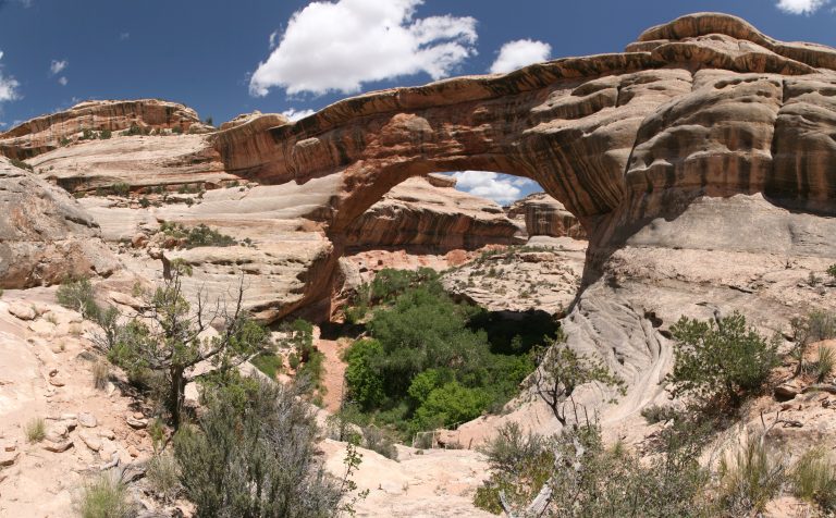 Natural Bridges National Monument
Three giant stone bridges in southeastern Utah’s canyons, with a loop drive, short steep trails and the first International Dark Sky Park.
-
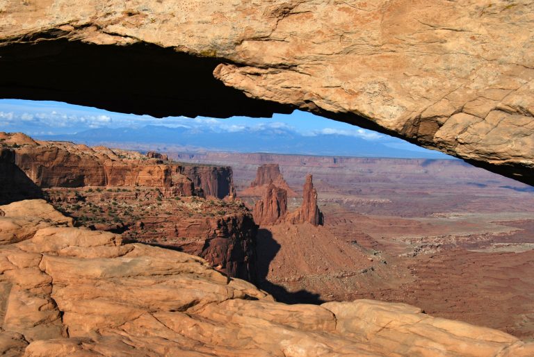 Canyonlands National Park
Utah's vast canyon country, split by the Green and Colorado rivers into Island in the Sky, the Needles and the remote Maze.
-
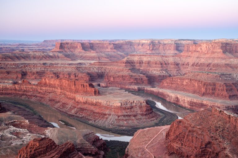 Dead Horse Point State Park
A mesa-top overlook 2,000 feet (600 m) above a gooseneck of the Colorado River, with rim trails, bike trails and some of Utah's darkest skies.
-
 Hovenweep National Monument
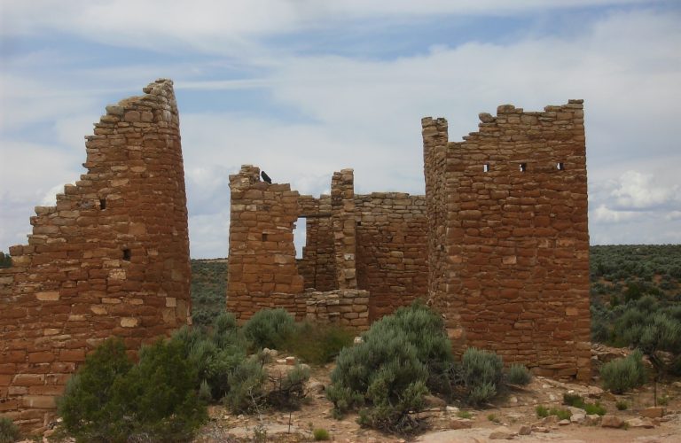
Stone towers on canyon rims along the Colorado-Utah border, with a loop around the Square Tower Group and a slot-canyon trail.
Straight-line distance between park centres. Road distance is usually longer.
Looking for somewhere closer to home?
See every park and monument within a day’s drive of where you are.