

Natural Bridges National Monument
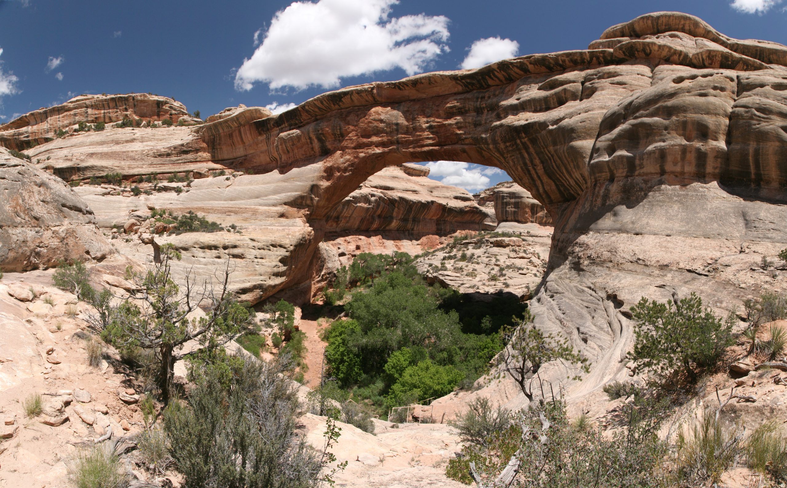
Natural Bridges protects three large stone bridges carved by streams in White and Armstrong canyons in southeastern Utah. A loop road reaches an overlook of each, short steep trails drop to their bases, and a longer trail links all three through the canyons.
Fast facts
- Established: 1908, Utah’s first national monument
- Size: about 7,600 acres (31 km²)
- Bridges: Sipapu, Kachina and Owachomo, named for Hopi words
- Night sky: the world’s first International Dark Sky Park, named in 2007
- Gateway: Blanding, Utah
- Managed by: the National Park Service
The landscape
Unlike arches, which form from weathering, natural bridges are carved by running water that breaks through a thin canyon wall where a stream loops around it. Sipapu is the second-largest natural bridge in the United States. The canyons are white Cedar Mesa sandstone, with pinyon and juniper on the mesa at about 6,500 feet (1,980 m), and ancestral Puebloan ruins sit in the alcoves.
Best time to go
Spring (April to May) and fall (mid-September to October) have highs of 60-80°F (16-27°C). Summer often exceeds 100°F (38°C), and winter highs are 30-50°F (-1 to 10°C), with snow possible.
Getting there and around
The entrance is at the end of UT 275, about 35 miles (56 km) west of Blanding on UT 95, roughly 45 minutes’ drive. A 9-mile (14 km) one-way loop drive passes the overlooks and trailheads.
Things to do
Each bridge has a short paved walk to an overlook. Short trails lead to the base of each bridge: Owachomo is the easiest, about half a mile (0.8 km) round trip, while the trails to Sipapu and Kachina descend steeply, with stairs and ladders on the Sipapu trail. The Horse Collar Ruin overlook looks across to cliff dwellings.
The loop trail through White and Armstrong canyons links all three bridges along the canyon floors and returns across the mesa, a full day with some scrambling, stream crossings and route-finding. Natural Bridges sits inside Bears Ears National Monument, with Cedar Mesa’s canyons close by for longer trips.
Staying safe
Summer heat is dangerous on the canyon floors and the climb out, so carry plenty of water and start early. Flash floods can run through the canyons in storms. The steeper trails have ladders and slickrock that is slippery when wet or icy.
Know before you go
An entrance fee applies (America the Beautiful pass accepted). The small campground takes reservations and has a limit on vehicle length. There are no services beyond the visitor center; fuel up in Blanding. This page is a general overview, not a live conditions report, so confirm conditions with the National Park Service before you go.
- Coordinates
- 37.6026, -110.0066
- Magnetic declination
- 9.5° E (2026)
Set this declination on your compass, then align it to the map's north lines; it is the angle between true north and magnetic north, refreshed each year.
How declination works, and how to navigate with a map and compass
A spread of the park’s main places shows straight away, and the rest appear as you zoom in. You can also search above, or pick any place from the lists below, and the map will go to it. Places in bold, marked , have a short description.
Getting there 2
Park entrance
Visitor centre
On the trail 1
Campground
Sights 11
Viewpoints
Heritage sites
Points of interest
Map data comes from third-party sources and may be incomplete or out of date, so carry a current official map (terms).
Looking for one of these closer to home?Destinations near me by trip type →
- Best seasons
- Spring, Fall
- Difficulty
- Easy to strenuous
- Access / trailheads
- UT 275 off UT 95, about 35 miles (56 km) west of Blanding. One-way 9-mile (14 km) loop drive.
- Water
- At the visitor center. None on trails.
- Cell / satellite coverage
- Little to none.
- Nearest ranger / SAR / emergency
- Emergencies: 911. Visitor center: 435-241-3951.
- Permits & regulations
- Entrance fee (America the Beautiful pass accepted). Campground by reservation.
- Leave No Trace
- Stay on trails to protect the dark, crusted soil, never walk on or climb the bridges, leave ruins untouched, and pack out all waste.
January
- Below-freezing nights
February
- Below-freezing nights
March
- Below-freezing nights
April
May
June
July
August
September
October This month
November
- Below-freezing nights
December
- Below-freezing nights
What to bring depends on your trip: how long you’re out, where you sleep, and how far you go from the road. The planner builds the list for yours.
Plan a trip here →Averages for 1991–2020 from NOAA U.S. Climate Normals, measured at the Natural Bridges National Monument station at 6,508 feet (1,984 m)1,984 m (6,508 feet). Higher trails run colder, by about 3.5°F for every 1,000 ft (2°C per 300 m)2°C for every 300 m (3.5°F per 1,000 ft) of climb. Daylight runs from sunrise to sunset on the 15th, on the park’s own clock, for a level horizon. Valleys and slopes facing away from the sun are in shade earlier.
Nearby parks
-
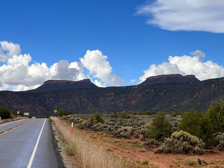 Bears Ears National Monument
Cliff dwellings, Grand Gulch backpacking and Indian Creek climbing in southeastern Utah’s canyon country.
-
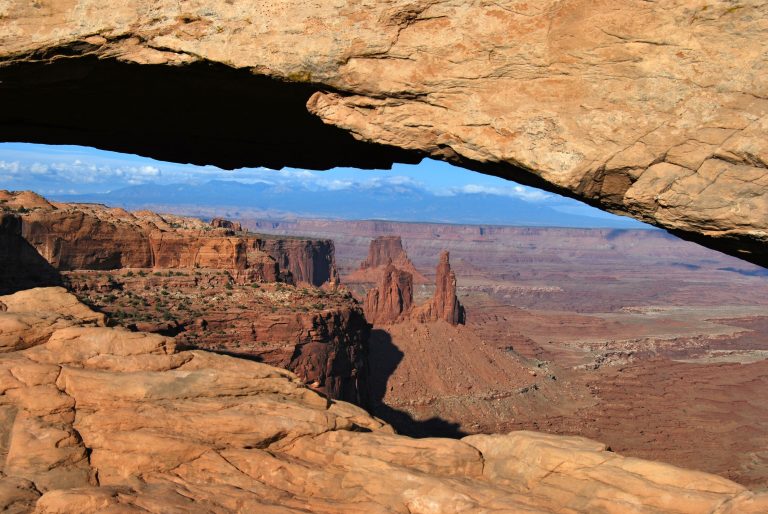 Canyonlands National Park
Utah's vast canyon country, split by the Green and Colorado rivers into Island in the Sky, the Needles and the remote Maze.
-
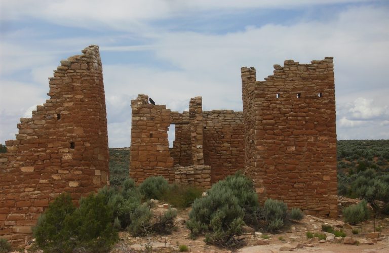 Hovenweep National Monument
Stone towers on canyon rims along the Colorado-Utah border, with a loop around the Square Tower Group and a slot-canyon trail.
-
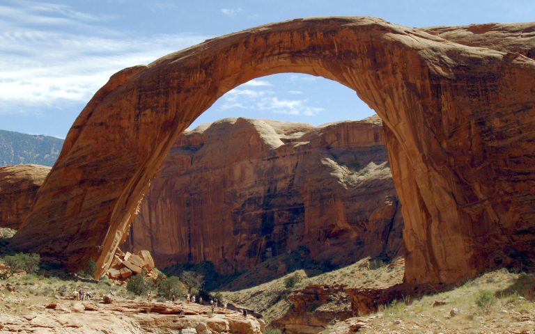 Rainbow Bridge National Monument
A 290-foot (88 m) sandstone bridge by Lake Powell, reached by boat and a short walk or by long trails across the Navajo Nation.
Straight-line distance between park centres. Road distance is usually longer.
Looking for somewhere closer to home?
See every park and monument within a day’s drive of where you are.