

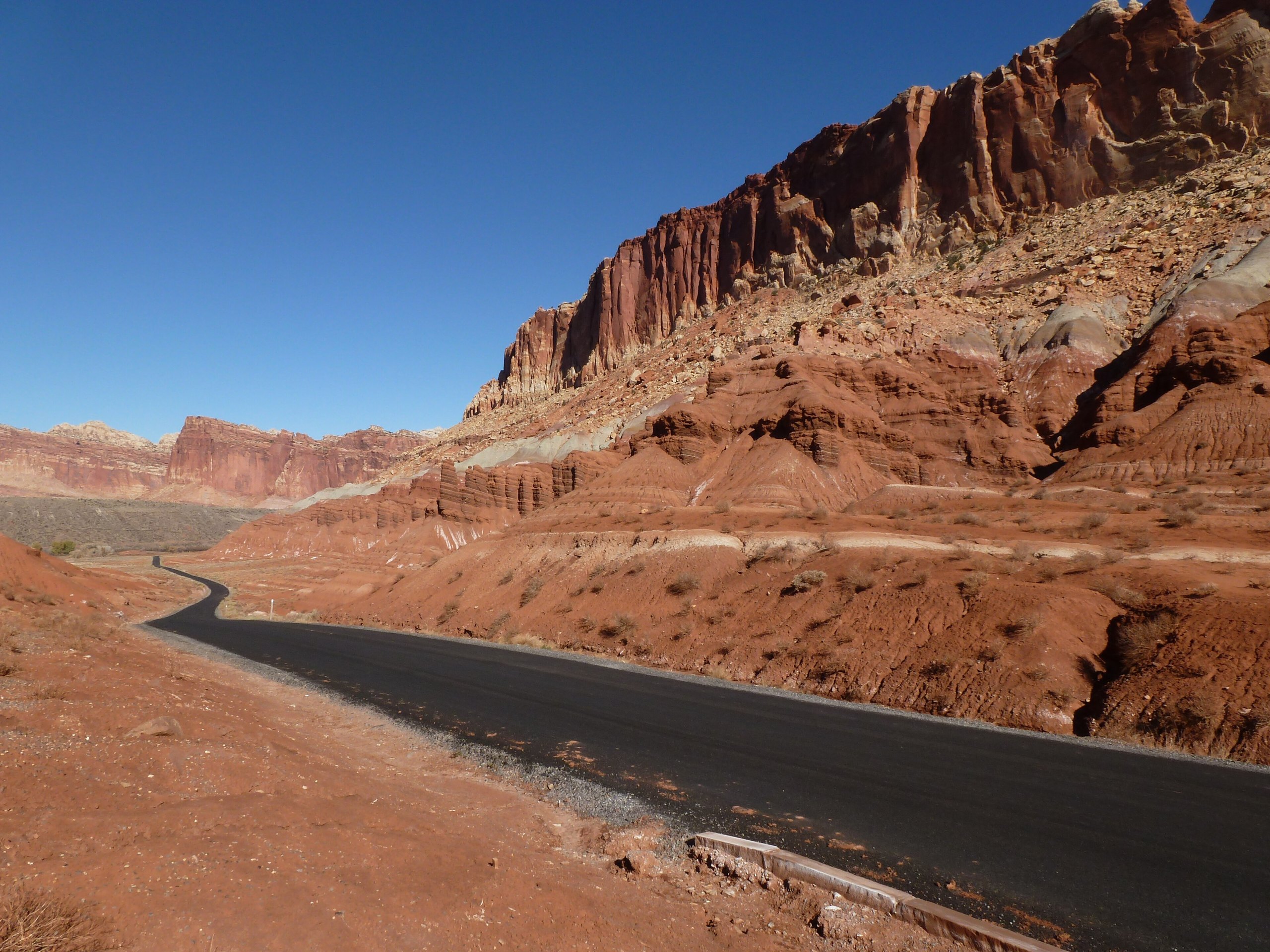
Top 9 things to do in Capitol Reef National Park
Capitol Reef is the quiet one of Utah’s five national parks. It protects the Waterpocket Fold, a wrinkle in the earth’s crust nearly 100 miles (160 km) long, tilted up into cliffs, domes and narrow canyons. Highway 24 crosses the fold through the old Mormon settlement of Fruita, and nearly everything most visitors do is within 10 miles (16 km) of it. These are the nine outings we would put first. The order starts with what the park is known for, then goes by what an outing gives back for the time and effort it takes. Distances and heights are National Park Service figures; times are our estimates and do not include stops.
The canyons here flood. A storm miles away, out of sight, can send a wall of water down a dry wash under a clear sky, most often from July to September. Check the forecast before entering any narrow canyon or driving a wash, and do not go in if rain is expected anywhere upstream. Carry water on every trail: there is none away from Fruita.
1. Hike to Hickman Bridge
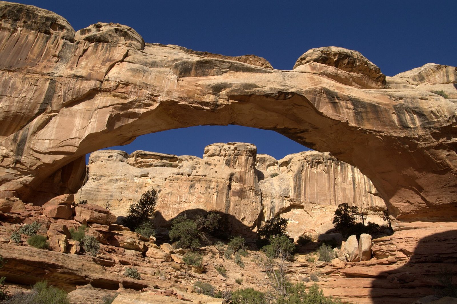
Hickman Bridge is a natural stone bridge with a span of 133 feet (41 m), 125 feet (38 m) high, and the trail to it is the park’s best short hike. It climbs from the Fremont River up through a wash and over slickrock, with the white domes that gave the park its name above you, passes the remains of a Fremont pit house and granary, and loops under the bridge itself. Go early: the trail faces south and is in full sun, and the small parking area fills by mid-morning.
- Distance: 1.8 miles (2.9 km) round trip
- Climb: about 400 feet (120 m)
- Allow: 1 to 1.5 hours
- Start: Hickman Bridge Trailhead, on Highway 24, 2 miles (3.2 km) east of the visitor center
- When: all year; spring and fall are most comfortable
- Suits: most walkers, including children
2. Pick fruit in the Fruita orchards
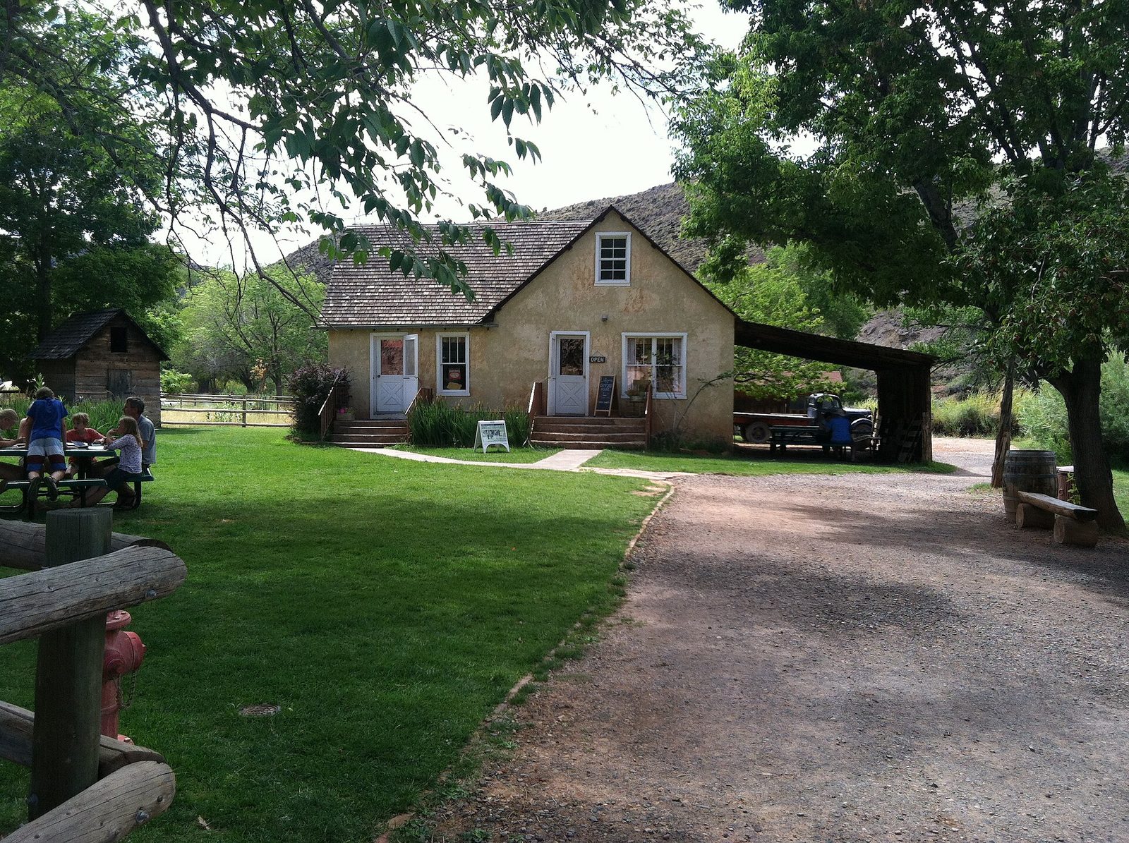
Mormon families settled this bend of the Fremont River in the 1880s and planted orchards under the red cliffs. The Park Service still tends them: about 1,900 trees of cherry, apricot, peach, pear, apple and plum, many of them old varieties. When a crop is ripe, the orchard’s gate is opened and visitors pick their own, eating what they like in the orchard and paying by the pound for what they carry out. Mule deer graze under the trees in the evening.
The Gifford House, the last farmhouse in the valley to be lived in, sells fruit pies baked each morning, and they are usually gone by early afternoon. The one-room schoolhouse and the blacksmith shop are a short walk away.
- Allow: 1 to 2 hours
- Start: Fruita, on the Scenic Drive, 1 mile (1.6 km) south of the visitor center
- When: cherries ripen in June, apricots in July, peaches and pears in August, apples in September and October. The Gifford House is open from about March to October.
- Suits: everyone
3. Drive the Scenic Drive
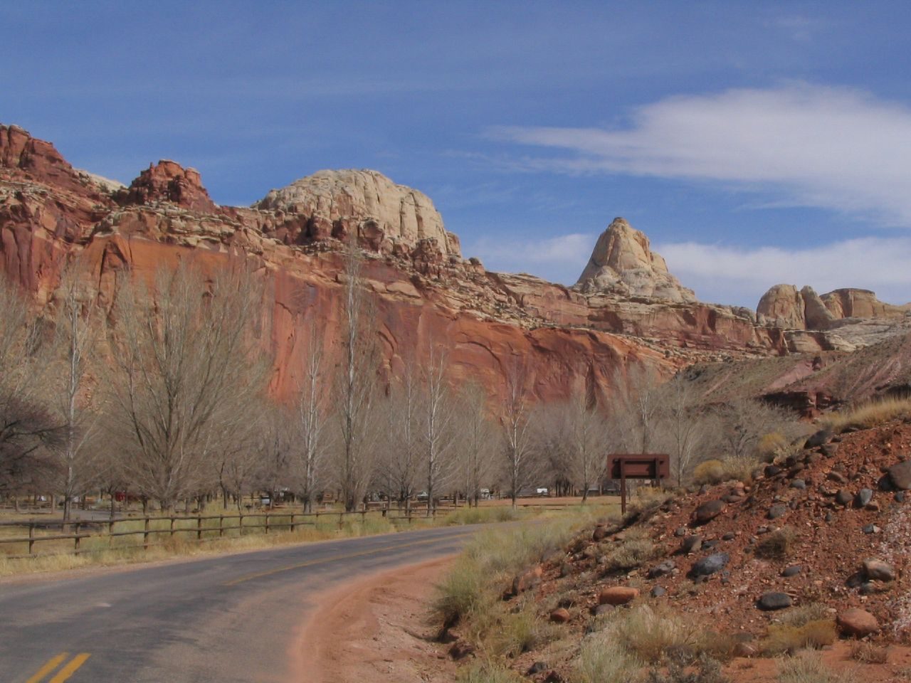
The paved road south from Fruita runs along the foot of the fold’s western face for about 8 miles (13 km), with a wall of layered red, white and chocolate rock on one side the whole way. It follows the route of the old wagon road. Two spur roads leave it for the canyons that cut through the reef, Grand Wash and Capitol Gorge, and both run along the floor of the wash itself between high walls. The spurs are unpaved or rough, and are closed whenever rain threatens.
- Distance: about 8 miles (13 km) one way, plus the spurs
- Allow: 1.5 to 2 hours with both spurs
- Start: the visitor center. An entrance fee is charged beyond the Fruita Campground.
- When: all year; late afternoon lights the cliffs
- Suits: everyone. Vehicles longer than 27 feet (8.2 m) are not recommended on the spurs.
4. Walk Capitol Gorge to the Pioneer Register
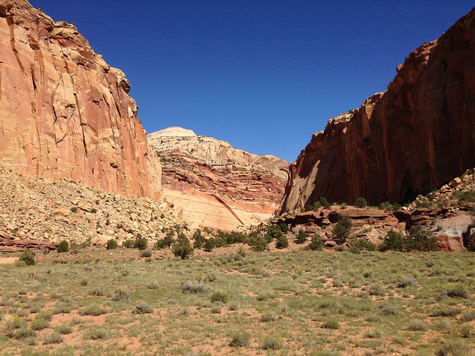
Until 1962 the road through the fold ran along the bottom of this canyon, and travellers had to clear boulders from it after every flood. Today you walk it. The floor is level sand and gravel between sheer walls. About half a mile (800 m) in, the Pioneer Register is a stretch of wall where settlers, surveyors and freight drivers carved their names and dates from the 1870s on, some of them high above the present floor. A short, steep side trail climbs to the Tanks, natural potholes that hold rainwater and gave the Waterpocket Fold its name.
- Distance: about 2 miles (3.2 km) round trip to the register and the Tanks
- Allow: 1 to 1.5 hours
- Start: Capitol Gorge Trailhead, at the end of the Capitol Gorge spur road
- When: all year, in settled weather only
- Suits: families. Adding your own name is a crime.
5. See the Fremont petroglyphs
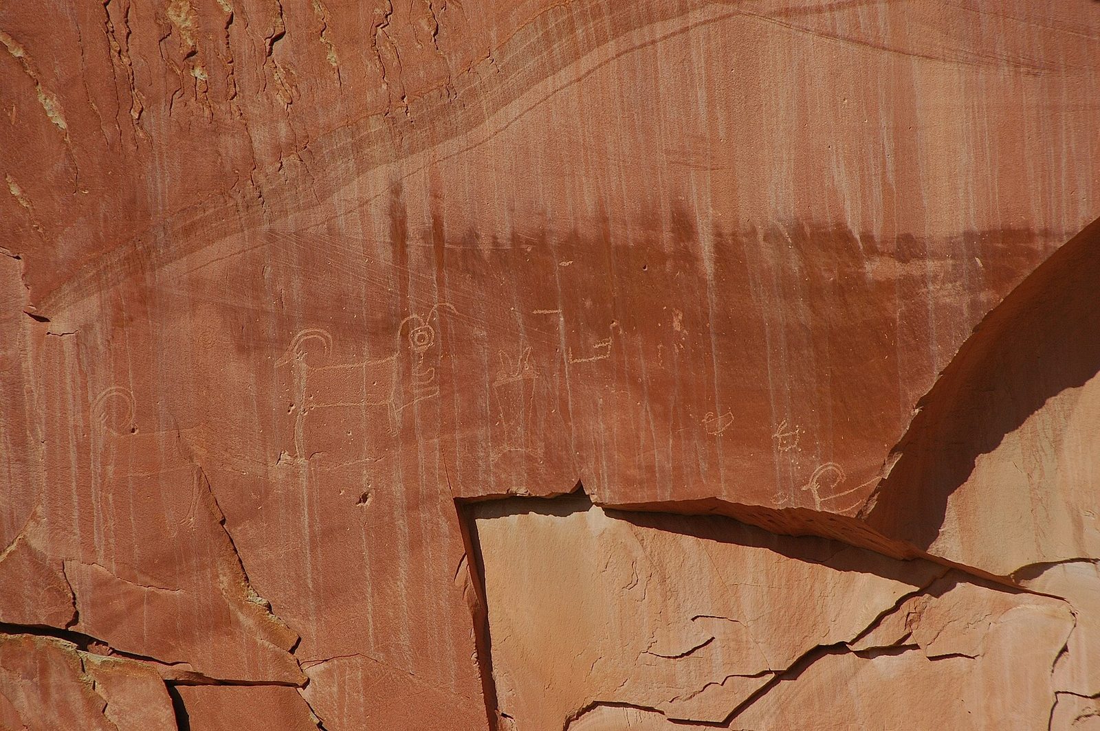
The Fremont people farmed this valley for about a thousand years, until around 1300, and pecked figures into the cliff beside the river: broad-shouldered human forms with headdresses and necklaces, bighorn sheep, and geometric designs. Two boardwalks run along the foot of the cliff. The panels are high up and some are faint, so bring binoculars and come when the wall is in shade, in the morning, when the figures stand out best.
- Distance: about 0.3 miles (0.5 km) of boardwalk
- Allow: 20 to 30 minutes
- Start: the petroglyph pullout on Highway 24, 1.1 miles (1.8 km) east of the visitor center
- When: all year
- Suits: everyone, including wheelchair users
6. Watch the light go at Sunset Point
West of the visitor center a gravel road leads to two short walks. The Goosenecks overlook is a few steps from the car: Sulphur Creek has cut a canyon 800 feet (240 m) deep in tight loops directly below. From the same parking area a level trail runs out along a ridge to Sunset Point, facing the long line of the fold’s cliffs. In the last half hour of the day they go from orange to deep red, with the Henry Mountains behind. Stay on after dark. Capitol Reef is an International Dark Sky Park, and the sky here is as dark as any in the lower 48 states.
- Distance: 0.8 miles (1.3 km) round trip to Sunset Point; 0.2 miles (0.3 km) to the Goosenecks
- Allow: 1 hour
- Start: Goosenecks parking area, off Highway 24 about 3 miles (4.8 km) west of the visitor center
- When: all year; sunset, then the stars
- Suits: everyone. The overlook edges are unfenced in places.
7. Climb to Cassidy Arch
Cassidy Arch is named for the outlaw Butch Cassidy, who is said to have hidden in these canyons. The trail starts in Grand Wash, climbs steeply up the canyon wall on ledges, and then crosses open slickrock, marked by cairns, to the top of the arch. You arrive above it, looking down through the opening to the wash 400 feet (120 m) below, and you can walk across the span, which is wide and flat. The climb is short and stiff, with drops beside the trail in the first half mile (0.8 km).
- Distance: 3.4 miles (5.5 km) round trip
- Climb: about 670 feet (200 m)
- Allow: 2 to 3 hours
- Start: Grand Wash Trailhead, at the end of the Grand Wash spur off the Scenic Drive
- When: March to May and September to November; early morning in summer
- Suits: fit walkers comfortable with heights
8. Drive the Cathedral Valley loop
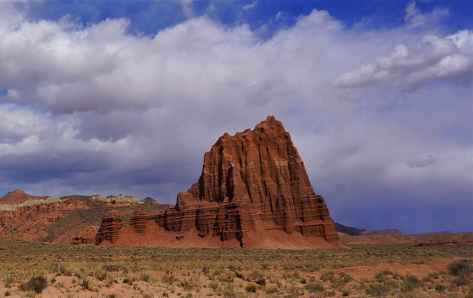
The park’s northern district is a high desert of banded badlands and freestanding sandstone towers, the largest of them the Temple of the Sun and the Temple of the Moon, which rise 400 feet (120 m) straight from the valley floor. A loop of dirt road takes it all in, with overlooks into the upper valley and a few short walks. You may not see another vehicle all day. There is no water, no fuel and no phone coverage on the whole route.
The loop needs a high-clearance vehicle and, at its start, a ford of the Fremont River about a foot (30 cm) deep. The clay sections turn to grease when wet and can strand any vehicle. Ask at the visitor center about the road and the river that morning.
- Distance: a loop of about 58 miles (93 km)
- Allow: 6 to 8 hours
- Start: the river ford on Hartnet Road, off Highway 24 about 12 miles (19 km) east of the visitor center
- When: April to June and September to October, in dry weather
- Suits: prepared drivers with the right vehicle
9. Follow the Waterpocket Fold south
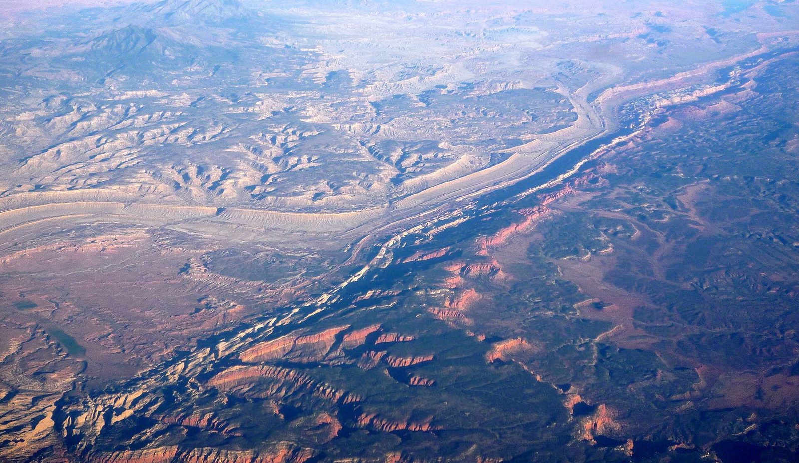
To see the fold itself, drive its length. The Notom-Bullfrog Road runs south along its eastern side, with the tilted layers standing up like the edge of a book for mile after mile. At the Burr Trail junction a set of tight switchbacks climbs 800 feet (240 m) straight up through the fold in half a mile (0.8 km), and a rough side road beyond leads to the Strike Valley Overlook, the best single view of the whole structure. Return by the Burr Trail and Highway 12 through Boulder for a full-day loop.
- Distance: a loop of about 125 miles (200 km), much of it graded dirt
- Allow: a full day
- Start: Notom-Bullfrog Road, off Highway 24 about 9 miles (14.5 km) east of the visitor center
- When: April to October, in dry weather. Ordinary cars manage the main roads when dry; the Strike Valley spur needs high clearance.
- Suits: anyone who likes a long, empty drive
Before you go
This list covers what stays the same from year to year. Road and wash closures, flash-flood warnings and which orchards are open for picking change, and the National Park Service posts them on its own site. The link is on our Capitol Reef National Park guide, with the map, passes and how to get there.