

Biscayne National Park
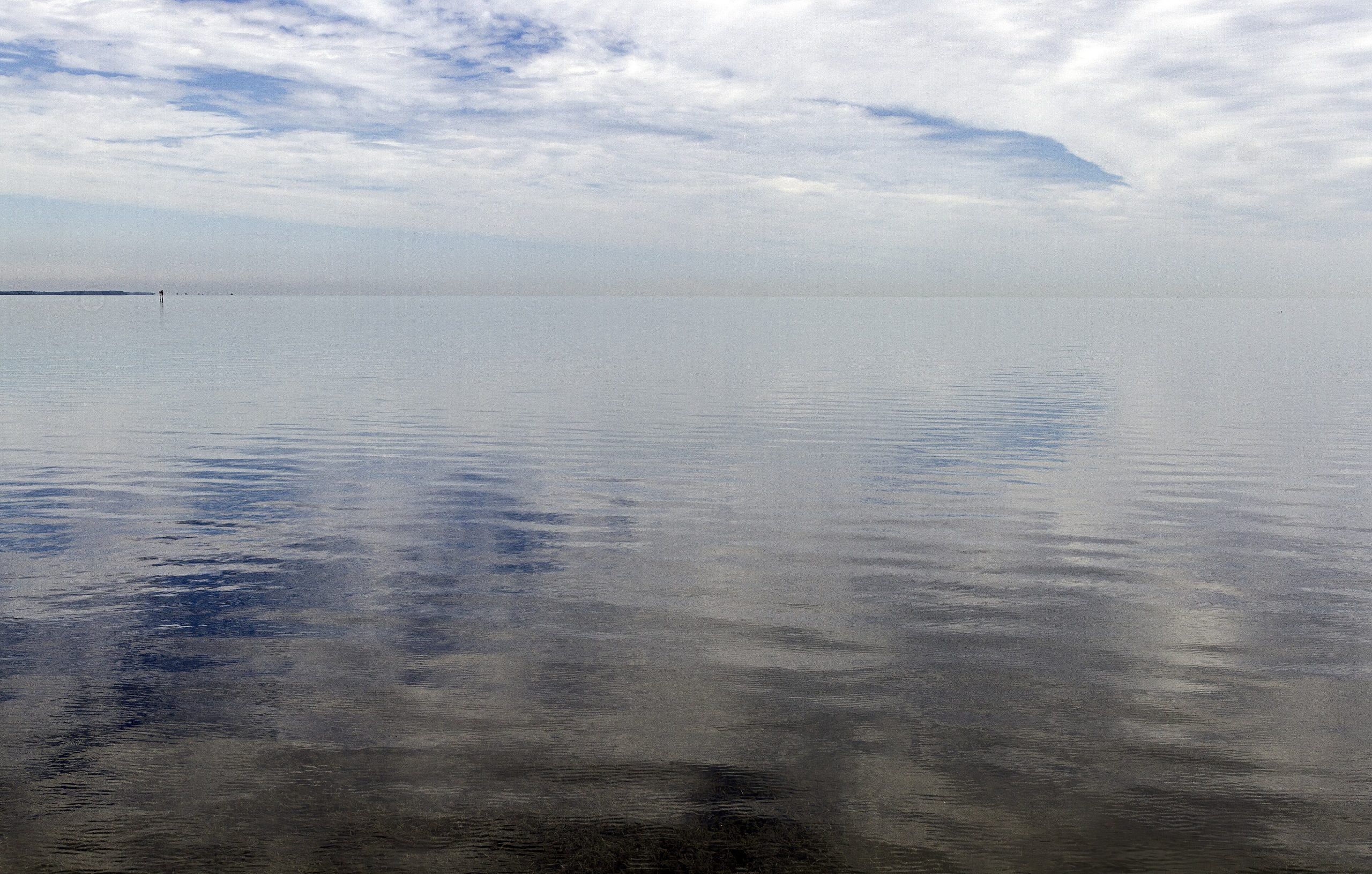
Biscayne is a national park you experience mostly from the water. 95% of its 173,000 acres (700 km²) lie beneath Biscayne Bay, protecting living coral reefs, clear turquoise shallows, mangrove shoreline and the northernmost Florida Keys. Just south of Miami yet a world away, it is a place for snorkelers, paddlers and boaters to explore one of the richest marine ecosystems in the country.
Fast facts
- Established: national monument 1968; national park in 1980
- Size: about 173,000 acres (700 km²), roughly 95% of it underwater
- Protects: coral reefs, Biscayne Bay, mangrove coast and the northern Keys
- Fee: no entrance fee
- Gateway: Homestead, Florida (Convoy Point)
- Managed by: National Park Service
The landscape
Four ecosystems meet here: the shoreline mangrove forest, the shallow warm waters of Biscayne Bay, the coral limestone keys, and the coral reefs offshore. The reefs and seagrass shelter tropical fish, spiny lobster, sea turtles and manatees, the mangroves are a nursery for marine life, and the bay’s clear water hides the Maritime Heritage Trail of historic shipwrecks.
Best time to go
The dry season, roughly December through April, brings the calmest, clearest water, the best snorkeling visibility and the most comfortable temperatures. Summer is hot, humid and stormy, with daily thunderstorms and the Atlantic hurricane season running June through November. Water conditions govern everything, so watch the marine forecast whenever you plan to go out.
Getting there and around
The mainland hub is Convoy Point near Homestead, home to the visitor center and boat tours. Because the park is almost all water, you explore it by concessioner boat tour, private vessel or kayak. There is very little to do on foot beyond the visitor-center grounds and a short shoreline trail. Camping is on the islands, reached only by boat.
Things to do
Snorkeling and diving the reefs and shipwrecks are the marquee activities, run through the park’s concessioner. Paddlers explore the mangrove creeks and bay, boaters visit Boca Chita and Elliott Key, and glass-bottom or sightseeing tours introduce the underwater world to non-swimmers. Wildlife watching turns up manatees, sea turtles, dolphins and abundant birdlife.
Staying safe
Sun and heat are constant, so carry water, sun protection and shade. On the water, be ready for open-water conditions, strong currents and fast-building thunderstorms with lightning. Carry a VHF radio, life jackets and a float plan, and only snorkel within your ability. During hurricane season, watch tropical forecasts closely and give the reef and wildlife respectful distance.
Know before you go
There is no entrance fee, but boat tours and island camping are concessioner-run and should be booked ahead, and you must bring all fresh water and supplies. This page is a general overview, not a live conditions report; always confirm current tour schedules, marine conditions and reservations with the National Park Service and concessioner before your trip.
- Coordinates
- 25.4998, -80.2250
- Magnetic declination
- 7.3° W (2026)
Set this declination on your compass, then align it to the map's north lines; it is the angle between true north and magnetic north, refreshed each year.
A spread of the park’s main places shows straight away, and the rest appear as you zoom in. You can also search above, or pick any place from the lists below, and the map will go to it.
Getting there 1
Park entrance
On the trail 2
Campgrounds
Sights 22
Point of interest
Islands
Map data comes from third-party sources and may be incomplete or out of date, so carry a current official map (terms).
- Best seasons
- Winter, Early spring (dry season)
- Difficulty
- Easy to moderate
- Access / trailheads
- Headquarters at Convoy Point near Homestead, FL, off SW 328th St. About 95% of the park is water, reached by tour boat, private vessel or kayak.
- Water
- Carry all fresh water; there is none on the islands or the water.
- Cell / satellite coverage
- Cell service is decent near shore but drops off on the water. Carry a VHF radio and a float plan.
- Nearest ranger / SAR / emergency
- Marine emergencies: U.S. Coast Guard (VHF 16); life-threatening emergencies: 911.
- Permits & regulations
- No entrance fee; boat tours and island/backcountry camping are run by the park concessioner and require reservations. Much of the park is only reachable by boat.
- Leave No Trace
- Do not touch coral, pack out everything, respect wildlife and wrecks, and follow Leave No Trace.
January
February
March
April
May
June
- Hot days
July
- Hot days
August
- Hot days
September This month
- Hot days
October
November
December
What to bring depends on your trip: how long you’re out, where you sleep, and how far you go from the road. The planner builds the list for yours.
Plan a trip here →Averages for 1991–2020 from NOAA U.S. Climate Normals, measured at the Cape Florida station, 15 miles (24 km) away at 6 feet (2 m).