

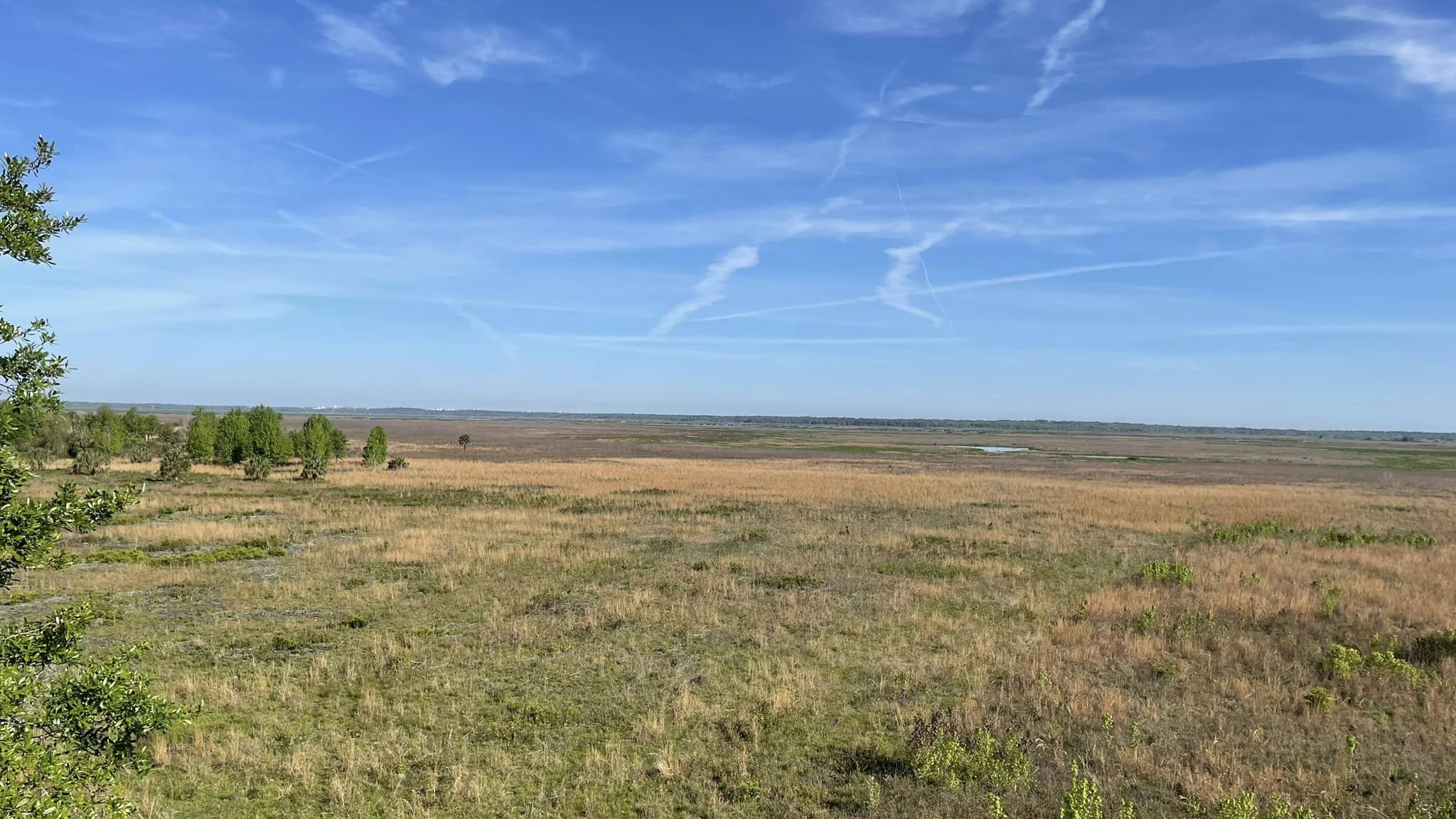
Myakka River State Park
Fast facts
- Size: about 37,000 acres (150 km²), one of Florida’s largest state parks
- River: the Myakka, a designated Florida Wild and Scenic River
- Backpacking: a hiking trail of nearly 39 miles (63 km) with backcountry campsites
- Gateway: Sarasota
- Managed by: Florida State Parks
The landscape
Myakka River State Park protects a sweep of old Florida: the slow Myakka River and its lakes, wide wet prairies, marshes, pine flatwoods and hammocks of oak and cabbage palm. Alligators are abundant, and the park is a birding hotspot for wading birds, sandhill cranes and raptors. Deer, bobcats and wild turkeys also live here.
Best time to go
November to April is the best time: cooler, drier and less buggy, with wildlife concentrated around the water. Summer is hot, humid and stormy, and parts of the trail flood in the wet season.
Getting there and around
The park is east of Sarasota on State Road 72. A scenic road runs through the park past the lakes, the canopy walkway and trailheads. The backpacking trail loops through the backcountry, and paddlers launch on the river and lakes.
Things to do
Backpackers hike the long backcountry loop with reserved campsites. Day visitors walk the canopy walkway through the treetops, paddle the river and Upper Myakka Lake, and cycle the park road. Wildlife watching, especially for alligators and birds, is the main draw.
Staying safe
Keep well away from alligators, never feed them, and keep pets and children back from the water’s edge. Carry plenty of water and avoid midday heat. Get to shelter early when thunderstorms build. Watch for venomous snakes, and check trail flooding before a backpacking trip.
Know before you go
Backcountry sites must be reserved. This page is a general overview, not a live conditions report, so confirm trail conditions and reservations with Florida State Parks before you go.
- Coordinates
- 27.2389, -82.2535
- Magnetic declination
- 6.3° W (2026)
Set this declination on your compass, then align it to the map's north lines; it is the angle between true north and magnetic north, refreshed each year.
How declination works, and how to navigate with a map and compass
A spread of the park’s main places shows straight away, and the rest appear as you zoom in. You can also search above, or pick any place from the lists below, and the map will go to it. Places in bold, marked , have a short description.
Getting there 2
Park entrance
Visitor centre
On the trail 11
Campgrounds
Hut or shelter
Sights 6
Viewpoints
Lakes
Point of interest
Island
Map data comes from third-party sources and may be incomplete or out of date, so carry a current official map (terms).
Looking for one of these closer to home?Destinations near me by trip type →
- Best seasons
- Winter, Spring, Fall
- Difficulty
- Easy to moderate
- Access / trailheads
- State Road 72, about 9 miles (14 km) east of Interstate 75 near Sarasota.
- Water
- Some backcountry sites have water; treat all natural water and carry plenty.
- Cell / satellite coverage
- Fair near the main road, patchy in the backcountry.
- Nearest ranger / SAR / emergency
- Emergencies: 911.
- Permits & regulations
- An entrance fee applies. Backcountry campsites on the hiking trail must be reserved through Florida State Parks.
- Leave No Trace
- Camp only at reserved backcountry sites, keep well away from alligators and never feed them, and pack out all waste.
January
February
March
April
May
- Hot days
June
- Hot days
July
- Hot days
August
- Hot days
September
- Hot days
October This month
November
December
What to bring depends on your trip: how long you’re out, where you sleep, and how far you go from the road. The planner builds the list for yours.
Plan a trip here →Averages for 1991–2020 from NOAA U.S. Climate Normals, measured at the Myakka Rvr Sp station, 4 miles (6 km)6 km (4 miles) away at 19 feet (6 m)6 m (19 feet). Higher trails run colder, by about 3.5°F for every 1,000 ft (2°C per 300 m)2°C for every 300 m (3.5°F per 1,000 ft) of climb. Daylight runs from sunrise to sunset on the 15th, on the park’s own clock, for a level horizon. Valleys and slopes facing away from the sun are in shade earlier.
Nearby parks
-
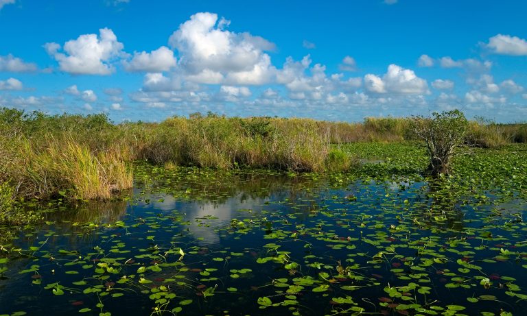 Everglades National Park
A slow river of sawgrass, mangroves and cypress at Florida's tip, with alligators, wading birds and canoe routes.
-
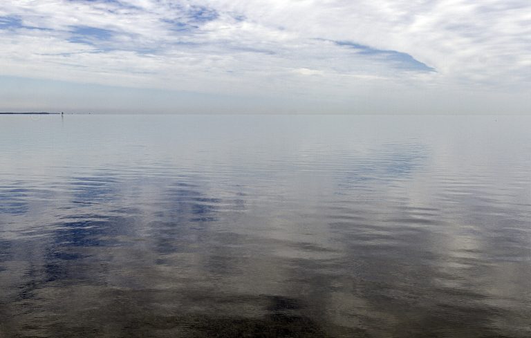 Biscayne National Park
A park that is 95% water: coral reefs, mangrove shoreline and keys in Biscayne Bay south of Miami, best seen by boat or kayak.
-
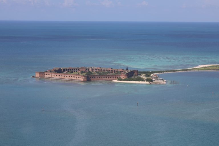 Dry Tortugas National Park
Fort Jefferson and clear reef water on remote keys about 70 miles (110 km) west of Key West, reached only by ferry, seaplane or boat.
Straight-line distance between park centres. Road distance is usually longer.
Looking for somewhere closer to home?
See every park and monument within a day’s drive of where you are.