

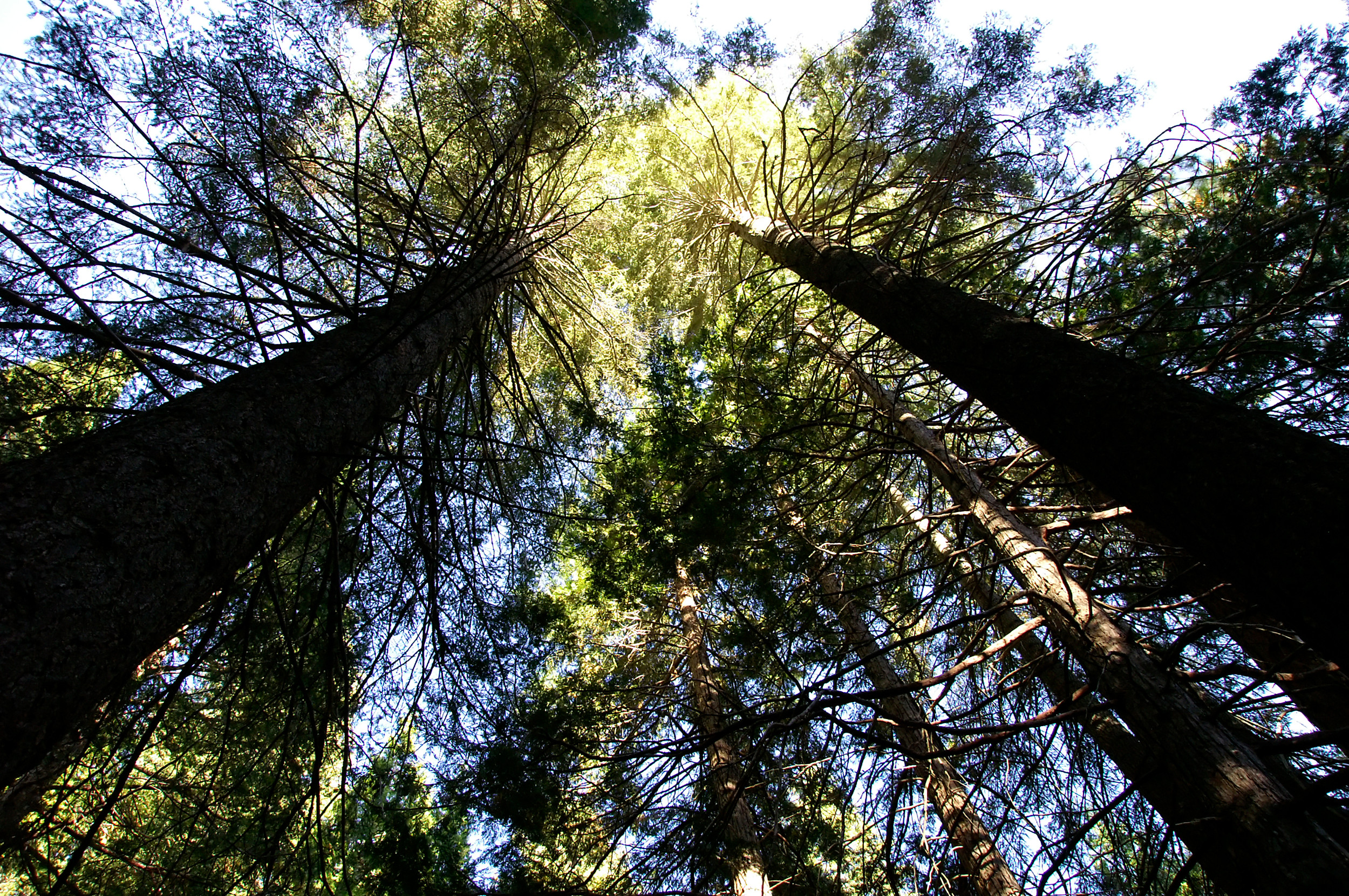
Sequoia National Park
Sequoia is the park of giants, home to the General Sherman Tree, the largest single-stem tree on Earth by volume, and grove after grove of the massive sequoias that give it its name. Behind the big trees rises a wilderness of the highest Sierra Nevada, including Mount Whitney, the tallest peak in the lower 48. Co-managed with Kings Canyon, it pairs easy forest walks with genuinely serious high country.
Fast facts
- Established: 1890, the second U.S. national park
- Size: about 404,000 acres (1,630 km²), administered with Kings Canyon National Park
- General Sherman: the largest tree on Earth by volume
- Mount Whitney: 14,505 feet (4,421 m), the highest point in the contiguous U.S.
- Gateway: Three Rivers, California, via Highway 198
- Managed by: National Park Service
The landscape
The park rises from oak foothills through the great sequoia groves of the Giant Forest, where trees over 2,000 years old still grow, into subalpine forest, granite domes like Moro Rock, and a vast high country of peaks, passes and lakes along the Sierra crest, culminating at Mount Whitney. Black bears, mule deer, marmots and bighorn sheep live across this range.
Best time to go
Summer through early fall is prime, with the high country clear of snow and the rivers dropping from their spring peak. Snow lingers up high into early summer and returns in fall, and winter brings deep snow to the Giant Forest, beautiful for snowshoeing, though roads may require chains or close. The lower groves are accessible much of the year.
Getting there and around
The Generals Highway climbs steeply from Three Rivers on Highway 198 into the Giant Forest and on to Kings Canyon; its tight, steep grades limit long vehicles and RVs, so check restrictions. In summer, a free shuttle serves the Giant Forest and Lodgepole areas to ease parking, but a vehicle is needed to reach and move around the park.
Things to do
Stand beneath the General Sherman Tree, wander the Giant Forest and Congress Trail among the sequoias, and climb the stairway up Moro Rock for a Sierra panorama. Crystal Cave offers guided tours of a marble cavern, while backpackers head into the High Sierra on the High Sierra and Pacific Crest trails, and the strongest aim for Mount Whitney via its permitted routes.
Staying safe
Black bears are active, and bear canisters are required through much of the wilderness. Store all food and scented items properly. Rivers run cold, fast and dangerous in spring and early summer, so keep back from the water. At altitude, hydrate and pace yourself, watch for snow and ice on high routes, and carry a map and satellite messenger in the backcountry.
Know before you go
A single entry fee covers both Sequoia and Kings Canyon, all overnight backpacking needs a wilderness permit, and Mount Whitney has its own competitive lottery. Plan well ahead. Check vehicle-length limits on the Generals Highway. This page is a general overview, not a live conditions report; always confirm current conditions, road status and permits with the National Park Service before your trip.
- Coordinates
- 36.4959, -118.5772
- Magnetic declination
- 11.9° E (2026)
Set this declination on your compass, then align it to the map's north lines; it is the angle between true north and magnetic north, refreshed each year.
A spread of the park’s main places shows straight away, and the rest appear as you zoom in. You can also search above, or pick any place from the lists below, and the map will go to it.
Getting there 16
Park entrances
Ranger stations
On the trail 30
Trailheads
Campgrounds
Hut or shelter
Picnic sites
Sights 60
Viewpoints
Waterfalls
Heritage sites
Point of interests
Peaks 30
Map data comes from third-party sources and may be incomplete or out of date, so carry a current official map (terms).
- Best seasons
- Summer, Early fall
- Difficulty
- Easy to strenuous
- Access / trailheads
- The Generals Highway climbs steeply from Highway 198 at Three Rivers into the giant-forest country; it connects to Kings Canyon. Vehicle-length limits apply on the steep grades.
- Water
- Abundant rivers, streams and lakes; filter or treat all backcountry water.
- Cell / satellite coverage
- Little to no cell service in the park. Carry a map and a satellite messenger for the backcountry.
- Nearest ranger / SAR / emergency
- Sequoia & Kings Canyon dispatch; life-threatening emergencies: 911.
- Permits & regulations
- Per-vehicle entry fee, shared with Kings Canyon (America the Beautiful pass accepted); wilderness permits are required for overnight backpacking, and Mount Whitney has a separate lottery.
- Leave No Trace
- Use bear canisters (required in much of the wilderness), pack out all waste, stay on trail, and follow Leave No Trace.
January
- Below-freezing nights
February
- Below-freezing nights
March
- Below-freezing nights
April
- Below-freezing nights
May
June
July
- Day-to-night swing of 30°F (17°C)
August
- Day-to-night swing of 32°F (18°C)
September This month
- Day-to-night swing of 31°F (17°C)
October
- Below-freezing nights
November
- Below-freezing nights
December
- Below-freezing nights
What to bring depends on your trip: how long you’re out, where you sleep, and how far you go from the road. The planner builds the list for yours.
Plan a trip here →Averages for 1991–2020 from NOAA U.S. Climate Normals, measured at the Lodgepole station, 3 miles (5 km) away at 6,735 feet (2,053 m). Conditions change with elevation: expect it colder higher up.