

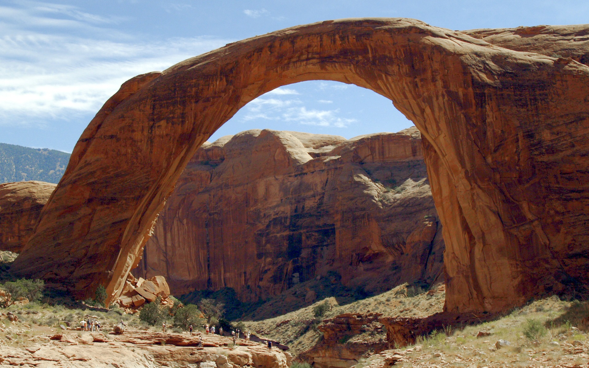
Rainbow Bridge National Monument
Rainbow Bridge is one of the largest natural bridges in the world, a sandstone arch 290 feet (88 m) high near Lake Powell in southern Utah. Most visitors arrive by boat and walk a short trail; a few hike in over the Navajo Nation on long trails around Navajo Mountain.
Fast facts
- Established: 1910
- Size: about 160 acres (65 ha)
- Bridge: 290 feet (88 m) high with a span of 275 feet (84 m)
- Sacred site: revered by the Navajo and other neighbouring tribes
- Gateway: Page, Arizona
- Managed by: the National Park Service (Glen Canyon National Recreation Area)
The landscape
Bridge Creek carved Rainbow Bridge from Navajo sandstone as it flowed from Navajo Mountain toward the Colorado River. The bridge stands in a narrow side canyon of Lake Powell, surrounded by bare slickrock and domes. Summers are very hot, and there is little shade.
Best time to go
Spring and fall. Summer temperatures reach 110°F (43°C), and winter nights drop below freezing.
Getting there and around
There are no roads to the monument. Boats reach it from Lake Powell marinas near Page, entering Forbidding Canyon at buoy 49, and a trail runs from the dock to the bridge; its length depends on the lake level. Tour boats run from Page in some seasons. The land trails start on the Navajo Nation and need a Navajo permit.
Things to do
From the boat dock, a trail leads up the side canyon to a viewing area beneath the bridge. Visitors are asked not to walk under or approach the bridge out of respect for its sacred meaning.
Two trails of about 13 to 16 miles (21 to 26 km) each way wind around the flanks of Navajo Mountain through remote canyons, a rugged multi-day trip that requires a permit from the Navajo Nation and good route-finding.
Staying safe
Heat is extreme in summer, and there is little shade or water. On the lake, sudden winds make the water rough; boaters need Lake Powell navigation skills. The land trails are remote and rough, with no services.
Know before you go
There is no fee for the monument itself, though Glen Canyon National Recreation Area charges a fee for boats and entry. Hiking in from the Navajo Nation requires a Navajo permit. How far the walk is from the dock varies with the lake level. This page is a general overview, not a live conditions report, so confirm access with the National Park Service before you go.
- Coordinates
- 37.0779, -110.9655
- Magnetic declination
- 9.8° E (2026)
Set this declination on your compass, then align it to the map's north lines; it is the angle between true north and magnetic north, refreshed each year.
How declination works, and how to navigate with a map and compass
A spread of the park’s main places shows straight away, and the rest appear as you zoom in. You can also search above, or pick any place from the lists below, and the map will go to it. Places in bold, marked , have a short description.
Sights 1
Point of interest
Map data comes from third-party sources and may be incomplete or out of date, so carry a current official map (terms).
Looking for one of these closer to home?Destinations near me by trip type →
- Best seasons
- Spring, Fall
- Difficulty
- Easy (by boat) to strenuous (overland)
- Access / trailheads
- By boat on Lake Powell (Forbidding Canyon, buoy 49) or on foot from the Navajo Nation around Navajo Mountain. No roads.
- Water
- None reliable. Bring all you need.
- Cell / satellite coverage
- None.
- Nearest ranger / SAR / emergency
- Emergencies: 911. Glen Canyon National Recreation Area: 928-608-6200.
- Permits & regulations
- No monument fee; Glen Canyon NRA fees for boats and entry. Navajo Nation permit for overland trails.
- Leave No Trace
- Respect the bridge as a sacred site, stay on the trail, and pack out everything.
January
- Below-freezing nights
February
March
April
May
June
- Hot days
July
- Hot days
August
- Hot days
September
October This month
November
December
- Below-freezing nights
What to bring depends on your trip: how long you’re out, where you sleep, and how far you go from the road. The planner builds the list for yours.
Plan a trip here →Averages for 1991–2020 from NOAA U.S. Climate Normals, measured at the Page Municipal Airport station, 29 miles (46 km)46 km (29 miles) away at 4,288 feet (1,307 m)1,307 m (4,288 feet). Higher trails run colder, by about 3.5°F for every 1,000 ft (2°C per 300 m)2°C for every 300 m (3.5°F per 1,000 ft) of climb. Daylight runs from sunrise to sunset on the 15th, on the park’s own clock, for a level horizon. Valleys and slopes facing away from the sun are in shade earlier.
Nearby parks
-
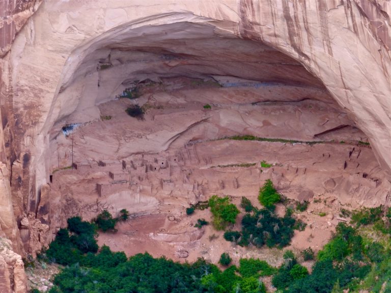 Navajo National Monument
The cliff villages of Betatakin and Keet Seel in Tsegi Canyon, with an easy overlook trail and a 17-mile (27 km) permit hike.
-
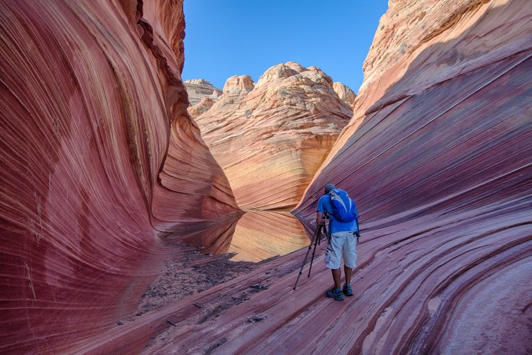 Vermilion Cliffs National Monument
The Wave, Coyote Buttes and the Paria Canyon backpacking route in northern Arizona, with condors on the cliffs above.
-
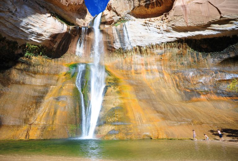 Grand Staircase-Escalante National Monument
Slot canyons, the Escalante River and Lower Calf Creek Falls across nearly 1.9 million acres (7,600 km²) of southern Utah.
-
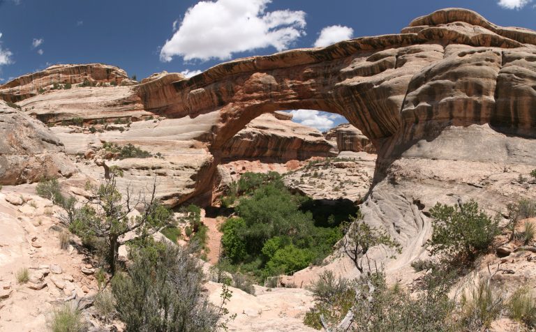 Natural Bridges National Monument
Three giant stone bridges in southeastern Utah’s canyons, with a loop drive, short steep trails and the first International Dark Sky Park.
Straight-line distance between park centres. Road distance is usually longer.
Looking for somewhere closer to home?
See every park and monument within a day’s drive of where you are.