

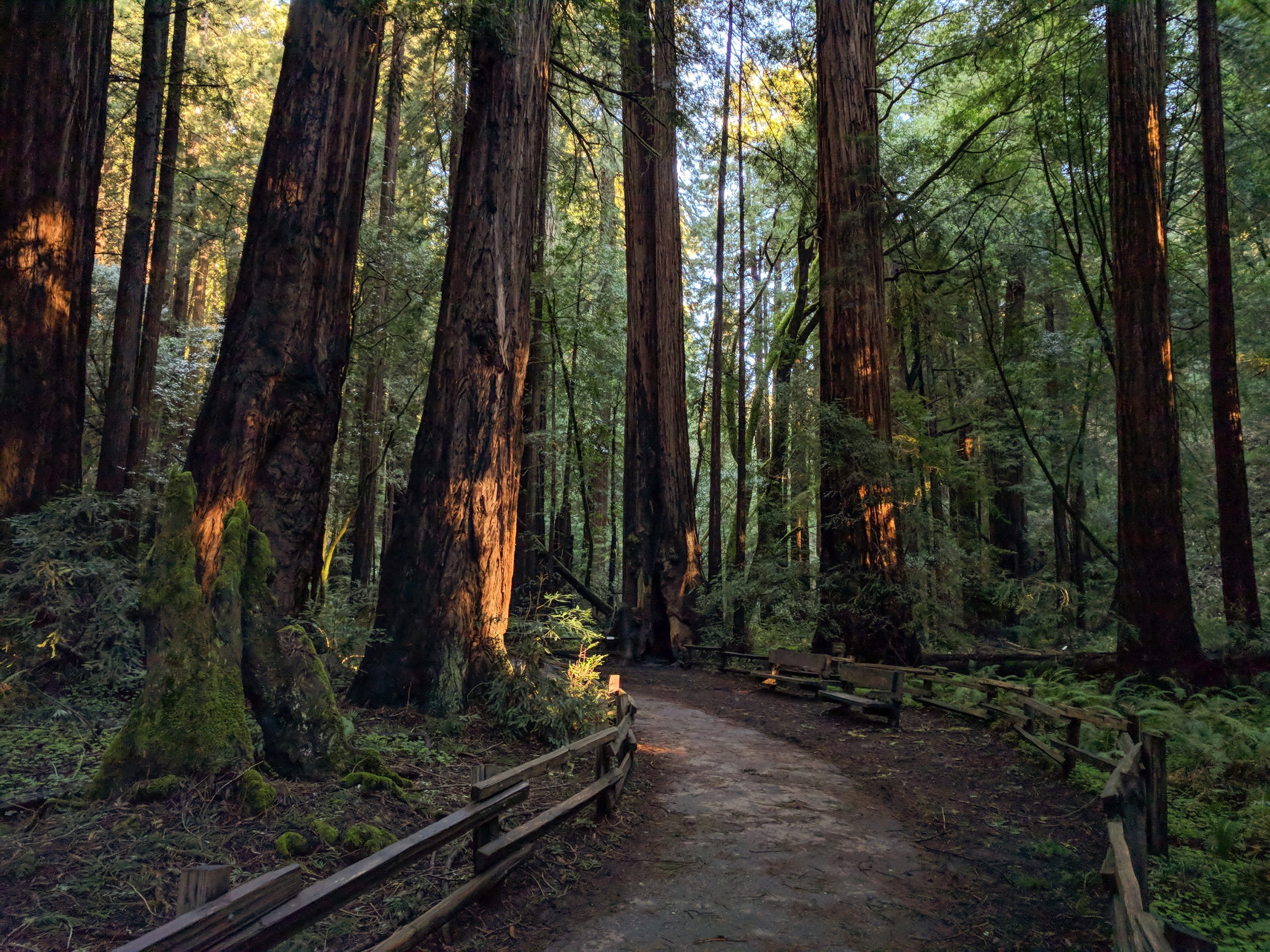
Muir Woods National Monument
Muir Woods protects a grove of old-growth coast redwoods along Redwood Creek, 11 miles (18 km) north of the Golden Gate Bridge. Level boardwalk loops make it one of the easiest old-growth forest walks anywhere, and trails climb out of the canyon onto the slopes of Mount Tamalpais for a full day’s hike.
Fast facts
- Established: 1908, on land donated by William and Elizabeth Kent and named for John Muir
- Size: about 554 acres (224 ha)
- Trees: coast redwoods, many 500 to 800 years old and the tallest over 250 feet (76 m)
- Trails: about 1.5 miles (2.4 km) of level paved and boardwalk trail on the canyon floor
- Gateways: Mill Valley and San Francisco
- Managed by: the National Park Service, as part of Golden Gate National Recreation Area
The landscape
Redwood Creek runs through a narrow canyon on the flank of Mount Tamalpais, where summer fog keeps the redwoods damp. The grove is one of the last stands of old-growth redwood near San Francisco, with bay laurel, tanoak, bigleaf maple and ferns beneath the giants. In winter, coho salmon and steelhead return up the creek to spawn.
Best time to go
The forest is cool year-round, around 40-70°F (4-21°C). Weekday mornings and winter are quietest. From late October to early May expect rain; summer brings morning fog. Early fall is often the warmest time.
Getting there and around
From San Francisco, take US 101 north to the Stinson Beach/Highway 1 exit and follow signs up a narrow, winding road. Vehicles longer than 35 feet (10.7 m) are not allowed. Parking is small, and every vehicle needs a parking reservation; a shuttle, also by reservation, runs on busy days.
Things to do
The Main Trail follows Redwood Creek on boardwalk and pavement, with loops of about half a mile, 1 mile and 2 miles (0.8, 1.6 and 3.2 km) that turn back across the creek at numbered bridges. Cathedral Grove, a quiet stretch where visitors are asked to keep their voices down, and Bohemian Grove are highlights.
For a longer day, trails climb out of the canyon into Mount Tamalpais State Park next door: the Ben Johnson and Hillside trails make a loop above the grove, the Bootjack Trail climbs toward the mountain’s upper slopes, and the Dipsea Trail passes through on its way from Mill Valley to Stinson Beach.
Staying safe
The main risks are on the road: the approach is narrow and winding, with cyclists and tight parking. On the trails, stay on the boardwalk to protect roots and watch for falling branches in wind. Trails into the state park are steep, with poison oak and uneven footing. Cell service is limited in the canyon.
Know before you go
An entrance fee applies (America the Beautiful pass accepted), and parking or shuttle reservations are required for every visit. Pets, picnicking, bicycles on trails and drones are not allowed in the monument. This page is a general overview, not a live conditions report, so confirm reservations and conditions with the National Park Service before you go.
- Coordinates
- 37.8955, -122.5812
- Magnetic declination
- 12.9° E (2026)
Set this declination on your compass, then align it to the map's north lines; it is the angle between true north and magnetic north, refreshed each year.
How declination works, and how to navigate with a map and compass
A spread of the park’s main places shows straight away, and the rest appear as you zoom in. You can also search above, or pick any place from the lists below, and the map will go to it. Places in bold, marked , have a short description.
Getting there 2
Park entrance
Visitor centre
On the trail 4
Routes
Sights 2
Points of interest
Map data comes from third-party sources and may be incomplete or out of date, so carry a current official map (terms).
Looking for one of these closer to home?Destinations near me by trip type →
- Best seasons
- Year-round (weekday mornings quietest)
- Difficulty
- Easy (moderate to strenuous on trails into Mount Tamalpais State Park)
- Access / trailheads
- US 101 to the Stinson Beach/Highway 1 exit, then a narrow road; no vehicles over 35 feet (10.7 m). Reserved parking or shuttle.
- Water
- Drinking water at the entrance area.
- Cell / satellite coverage
- Limited to none in the canyon.
- Nearest ranger / SAR / emergency
- Emergencies: 911. Muir Woods: 415-561-2850.
- Permits & regulations
- Entrance fee (America the Beautiful pass accepted). Parking or shuttle reservation required for every visit. No pets, picnicking or drones.
- Leave No Trace
- Stay on the boardwalk and trails, keep noise down in Cathedral Grove, and carry out everything you bring.
January
February
March
April
May
June
July
- Day-to-night swing of 30°F (17°C)Day-to-night swing of 17°C (30°F)
August
September
October This month
November
December
What to bring depends on your trip: how long you’re out, where you sleep, and how far you go from the road. The planner builds the list for yours.
Plan a trip here →Averages for 1991–2020 from NOAA U.S. Climate Normals, measured at the Kentfield station, 5 miles (8 km)8 km (5 miles) away at 145 feet (44 m)44 m (145 feet). Higher trails run colder, by about 3.5°F for every 1,000 ft (2°C per 300 m)2°C for every 300 m (3.5°F per 1,000 ft) of climb. Daylight runs from sunrise to sunset on the 15th, on the park’s own clock, for a level horizon. Valleys and slopes facing away from the sun are in shade earlier.
Nearby parks
-
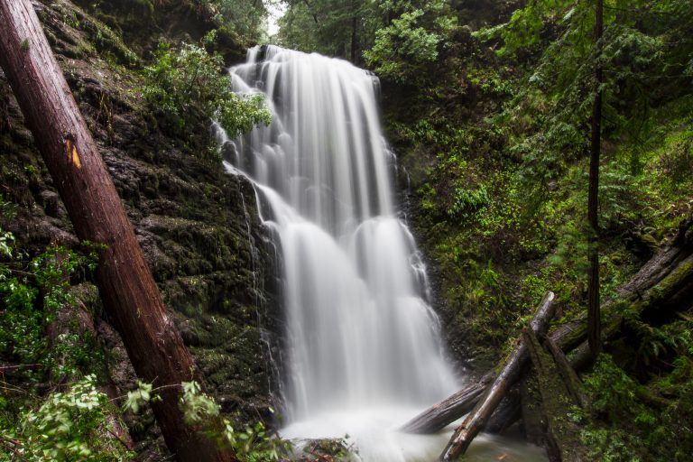 Big Basin Redwoods State Park
California's oldest state park, rising again after the 2020 fire: ancient redwoods, waterfalls and a trail from the ridge to the sea.
-
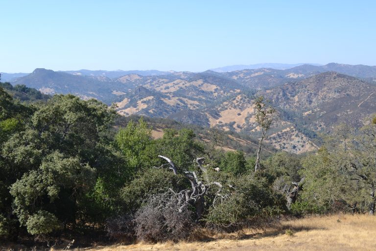 Henry W. Coe State Park
Northern California's largest state park: 87,000 acres (350 km²) of steep, empty Diablo Range backcountry near San Jose.
-
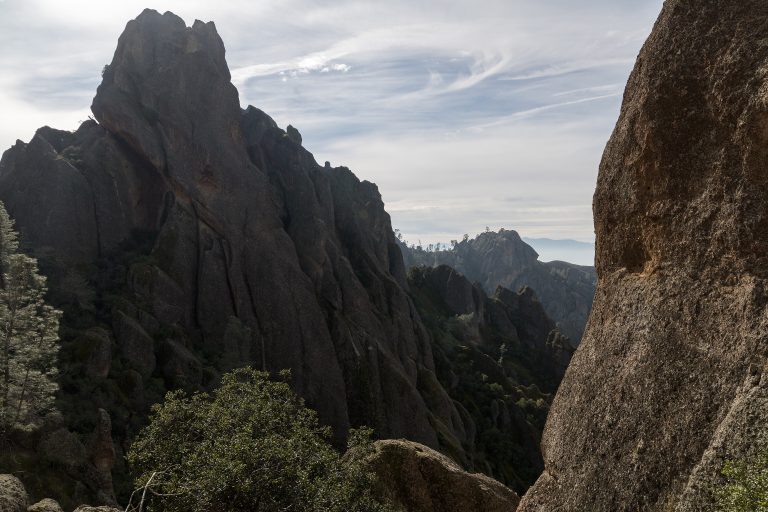 Pinnacles National Park
Volcanic spires, talus caves and California condors in the Gabilan Mountains, a couple of hours south of the San Francisco Bay Area.
-
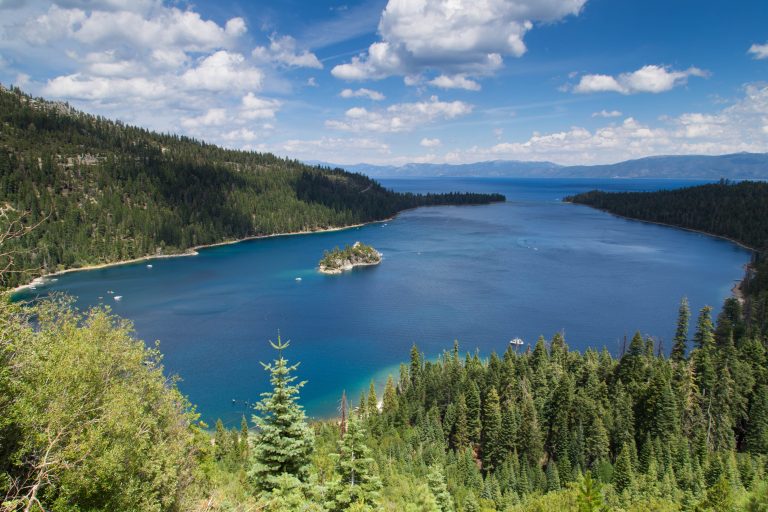 Emerald Bay State Park
Lake Tahoe's most photographed inlet: blue-green water around the lake's only island, a Scandinavian-style mansion on the shore and the Rubicon Trail along it.
Straight-line distance between park centres. Road distance is usually longer.
Looking for somewhere closer to home?
See every park and monument within a day’s drive of where you are.