

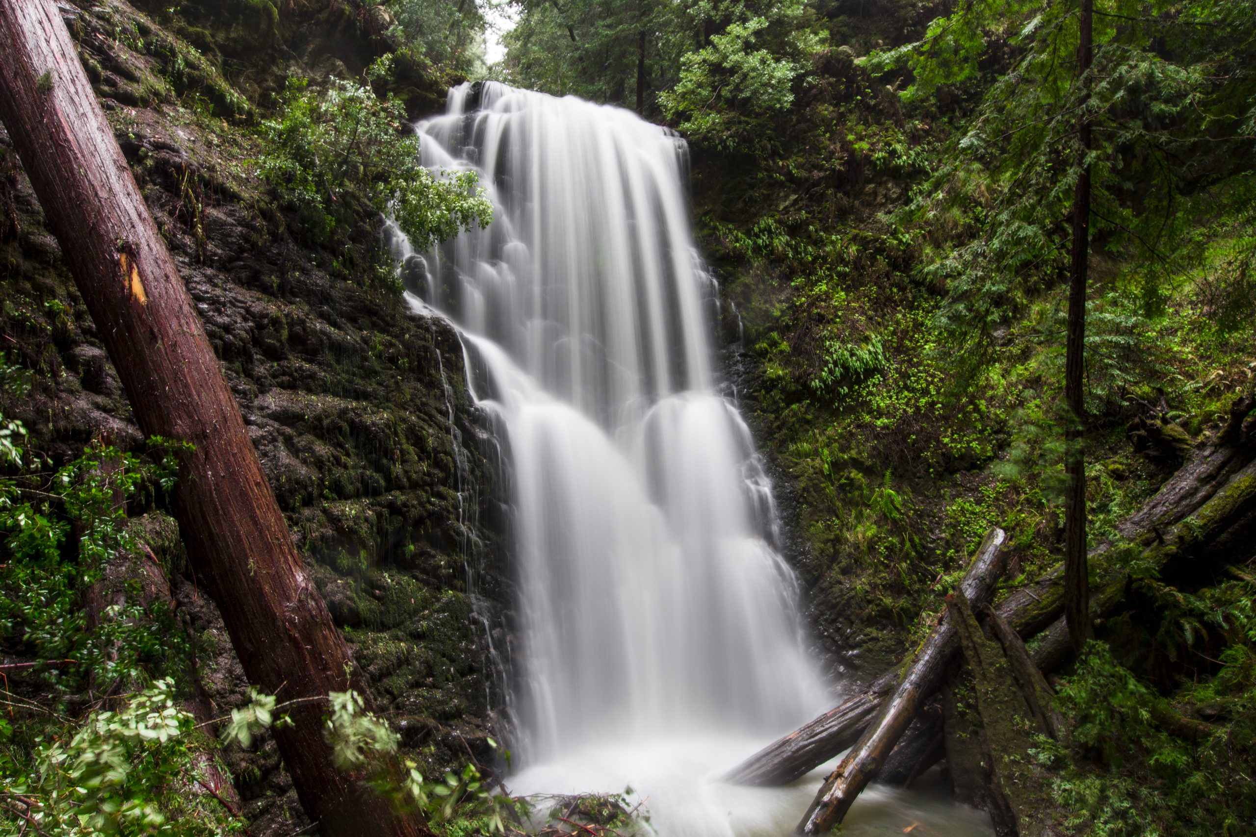
Big Basin Redwoods State Park
Fast facts
- Established: 1902, the oldest state park in California
- Size: about 18,000 acres (73 km²)
- Recovery: the 2020 CZU Lightning Complex Fire burned 97% of the park
- Elevation: sea level to more than 2,000 feet (610 m)
- Gateway: Boulder Creek and Santa Cruz
- Managed by: California State Parks
The landscape
Big Basin protects the largest continuous stand of ancient coast redwoods south of San Francisco, spread across the Santa Cruz Mountains down to the Pacific at Rancho del Oso. In August 2020 a wildfire swept through almost the whole park and destroyed its historic buildings. Most of the old-growth redwoods survived, and new growth is returning fast, but the forest looks very different from before. Mountain lions, bobcats, deer and banana slugs live here.
Best time to go
Spring brings flowing waterfalls and new growth. Summer is dry and busy on weekends. Fall is quieter, and winter storms can close trails and roads.
Getting there and around
The main entrance is on Highway 236 north of Boulder Creek, on a curvy mountain road. There is no cell service at the kiosk, so ride-hailing and car-sharing are unreliable ways to get home. Parking is limited and should be reserved. Rancho del Oso on Highway 1 gives access from the coast.
Things to do
Day hikes through the recovering forest lead to old-growth groves and waterfalls, including Berry Creek Falls. The Skyline-to-the-Sea Trail descends from the ridge to the ocean. The park’s rebuilding is an unusual chance to see a redwood forest recover from fire.
Staying safe
Burned trees and slopes can fail without warning, especially in wind or rain, so stay on open trails and out of closed areas. Many trails are long and steep. Poison oak is common. Mountain lions live here; hike with others and keep children close. Carry water and a map, and plan your transport home before you lose cell service.
Know before you go
Facilities and trail access change as the park is rebuilt after the fire. This page is a general overview, not a live conditions report, so confirm current trail openings, parking reservations and closures with California State Parks before you go.
- Coordinates
- 37.1554, -122.2366
- Magnetic declination
- 12.7° E (2026)
Set this declination on your compass, then align it to the map's north lines; it is the angle between true north and magnetic north, refreshed each year.
How declination works, and how to navigate with a map and compass
A spread of the park’s main places shows straight away, and the rest appear as you zoom in. You can also search above, or pick any place from the lists below, and the map will go to it. Places in bold, marked , have a short description.
Getting there 3
Park entrances
Visitor centre
On the trail 18
Routes
Campgrounds
Sights 33
Viewpoints
Waterfalls
Lakes
Beaches
Heritage sites
Point of interest
Peaks 11
Map data comes from third-party sources and may be incomplete or out of date, so carry a current official map (terms).
Looking for one of these closer to home?Destinations near me by trip type →
- Best seasons
- Spring, Summer, Fall
- Difficulty
- Easy to strenuous
- Access / trailheads
- From Highway 9 in Boulder Creek, Highway 236 leads 9 miles (14 km) to the entrance kiosk, about 25 miles (40 km) northwest of Santa Cruz. The coastal Rancho del Oso unit is reached from Highway 1.
- Water
- Streams; treat all water. Limited facilities during rebuilding.
- Cell / satellite coverage
- None near the entrance kiosk and in much of the park. Plan your ride home before you arrive.
- Nearest ranger / SAR / emergency
- Emergencies: 911.
- Permits & regulations
- A vehicle day-use fee applies, and parking reservations are highly recommended because spaces are limited.
- Leave No Trace
- Stay on trails, respect posted closures and pack out all waste.
January
February
March
- Day-to-night swing of 30°F (17°C)Day-to-night swing of 17°C (30°F)
April
- Day-to-night swing of 33°F (18°C)Day-to-night swing of 18°C (33°F)
May
- Day-to-night swing of 34°F (19°C)Day-to-night swing of 19°C (34°F)
June
- Day-to-night swing of 37°F (21°C)Day-to-night swing of 21°C (37°F)
July
- Day-to-night swing of 37°F (21°C)Day-to-night swing of 21°C (37°F)
August
- Hot days
- Day-to-night swing of 39°F (22°C)Day-to-night swing of 22°C (39°F)
September
- Day-to-night swing of 40°F (22°C)Day-to-night swing of 22°C (40°F)
October This month
- Day-to-night swing of 39°F (22°C)Day-to-night swing of 22°C (39°F)
November
- Day-to-night swing of 31°F (17°C)Day-to-night swing of 17°C (31°F)
December
What to bring depends on your trip: how long you’re out, where you sleep, and how far you go from the road. The planner builds the list for yours.
Plan a trip here →Averages for 1991–2020 from NOAA U.S. Climate Normals, measured at the Ben Lomond #4 station, 10 miles (16 km)16 km (10 miles) away at 435 feet (133 m)133 m (435 feet). Higher trails run colder, by about 3.5°F for every 1,000 ft (2°C per 300 m)2°C for every 300 m (3.5°F per 1,000 ft) of climb. Daylight runs from sunrise to sunset on the 15th, on the park’s own clock, for a level horizon. Valleys and slopes facing away from the sun are in shade earlier.
Nearby parks
-
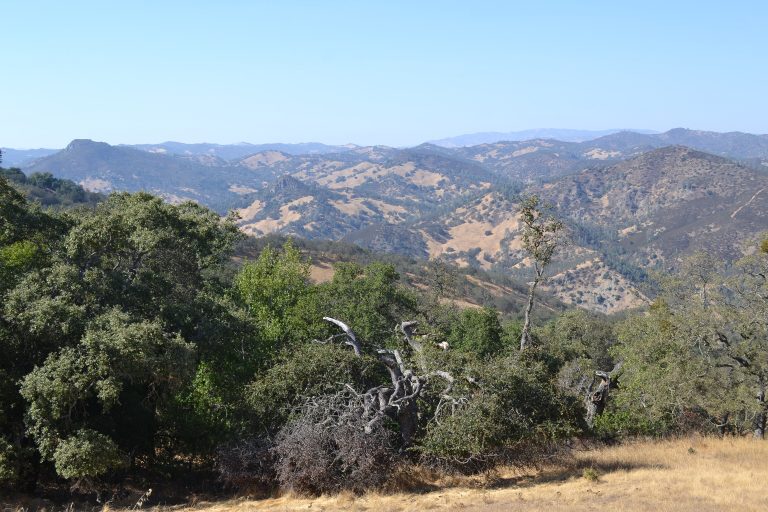 Henry W. Coe State Park
Northern California's largest state park: 87,000 acres (350 km²) of steep, empty Diablo Range backcountry near San Jose.
-
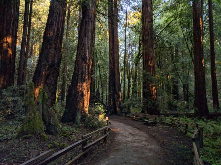 Muir Woods National Monument
Old-growth coast redwoods on level boardwalk loops 11 miles (18 km) north of the Golden Gate Bridge, with trails up Mount Tamalpais.
-
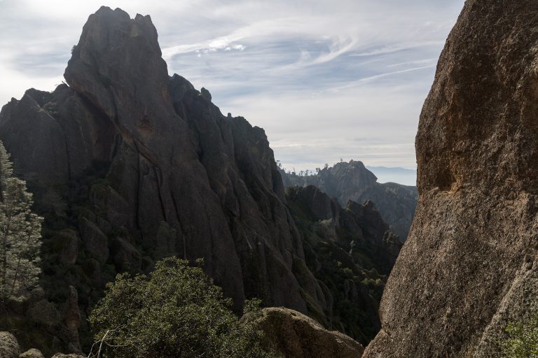 Pinnacles National Park
Volcanic spires, talus caves and California condors in the Gabilan Mountains, a couple of hours south of the San Francisco Bay Area.
-
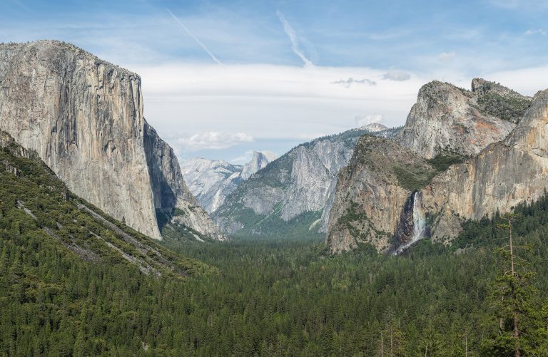 Yosemite National Park
El Capitan and Half Dome above Yosemite Valley's waterfalls, with giant sequoias and the high country of Tuolumne Meadows.
Straight-line distance between park centres. Road distance is usually longer.
Looking for somewhere closer to home?
See every park and monument within a day’s drive of where you are.