

Henry W. Coe State Park
Fast facts
- Size: about 87,000 acres (352 km²), the largest state park in Northern California
- Setting: the hills and ridges of the Diablo Range
- Character: largely undeveloped, with backcountry camping and a big trail network
- Gateway: Morgan Hill, about 30 minutes south of San Jose
- Managed by: California State Parks
The landscape
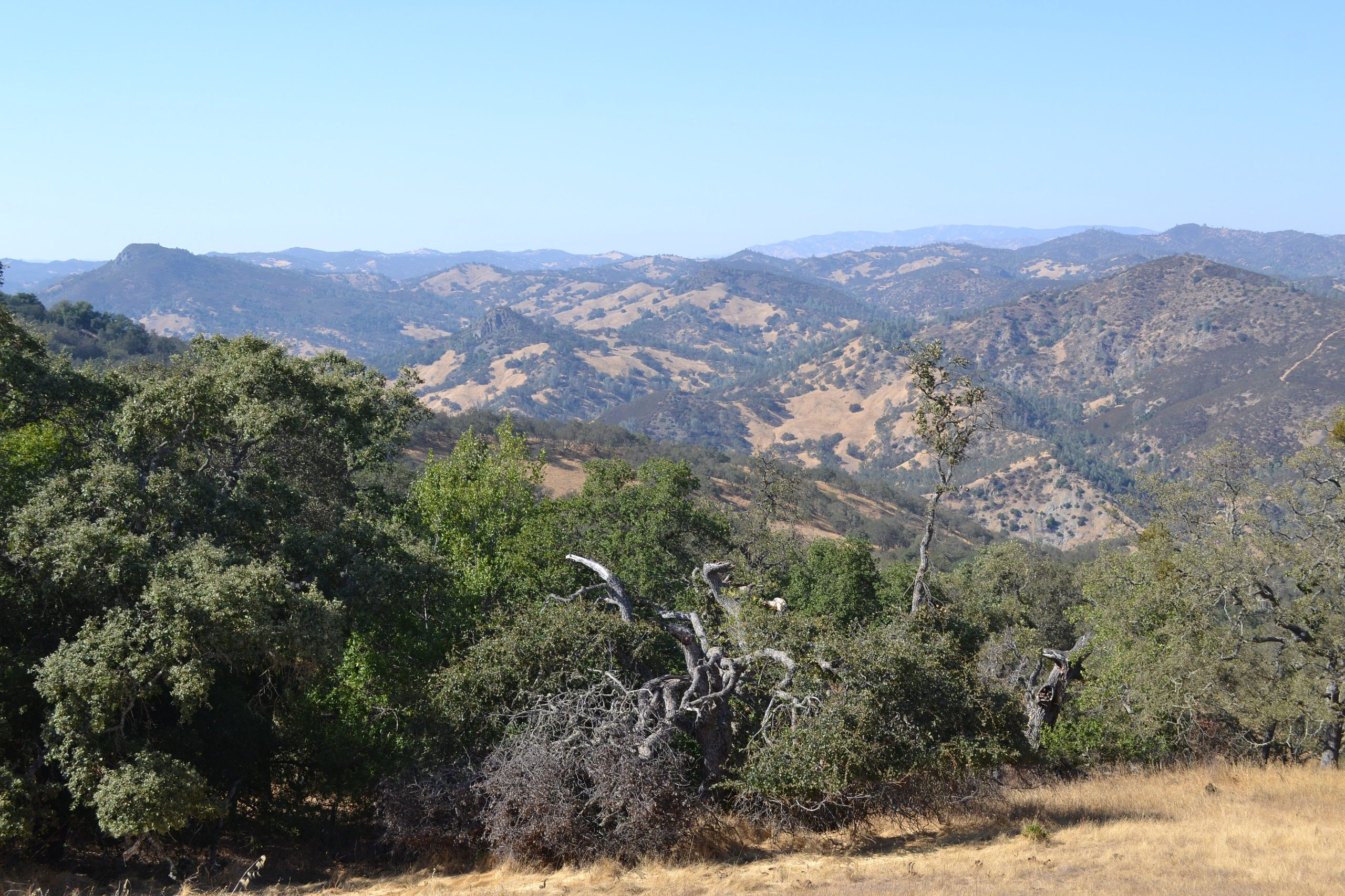
Coe is a rugged, rolling landscape of steep ridges and deep canyons, covered in oak woodland, grassland, chaparral and pine. Creeks run in the canyons after winter rain. After a wet winter, the hills fill with lupine, poppies and goldfields. Wild pigs, deer, mountain lions, bobcats and golden eagles live here.
Best time to go
Spring is the favourite, with green hills, running creeks and wildflowers from February to April. Fall and winter are cool and quiet. Summer is hot, often over 100°F (38°C), and water sources dry up.
Getting there and around
The main entrance is at park headquarters, reached from Morgan Hill on a narrow, winding road. Other trailheads include Hunting Hollow near Gilroy. Inside the park, a web of trails and steep fire roads connects ridges, lakes and backcountry campsites.
Things to do
Coe is Northern California’s best close-to-home backpacking destination, with trips to remote lakes and canyons such as Mississippi Lake and Orestimba. Day hikers explore the wildflower slopes near headquarters, and mountain bikers ride the fire roads. Solitude is easy to find.
Staying safe
The fire roads are extremely steep, and trips take longer than expected; plan conservative distances. Carry plenty of water and check the park’s water reports, especially after spring. Heat is dangerous in summer. Check for ticks, watch for rattlesnakes and hike with others in mountain lion country. The trail network is large, so carry a map and leave a trip plan.
Know before you go
Backcountry trips need a permit. This page is a general overview, not a live conditions report, so confirm current water availability, fire restrictions and reservations with California State Parks before you go.
- Coordinates
- 37.1718, -121.4344
- Magnetic declination
- 12.6° E (2026)
Set this declination on your compass, then align it to the map's north lines; it is the angle between true north and magnetic north, refreshed each year.
How declination works, and how to navigate with a map and compass
A spread of the park’s main places shows straight away, and the rest appear as you zoom in. You can also search above, or pick any place from the lists below, and the map will go to it. Places in bold, marked , have a short description.
Getting there 3
Park entrances
Ranger station
On the trail 36
Trailhead
Campgrounds
Picnic site
Sights 33
Viewpoint
Waterfalls
Lakes
Heritage site
Point of interest
Peaks 24
Map data comes from third-party sources and may be incomplete or out of date, so carry a current official map (terms).
Looking for one of these closer to home?Destinations near me by trip type →
- Best seasons
- Spring (wildflowers February to April), Fall, Winter
- Difficulty
- Moderate to strenuous
- Access / trailheads
- From Highway 101 in Morgan Hill, take East Dunne Avenue east about 13 miles (21 km), the last 10 miles (16 km) narrow and winding, to park headquarters.
- Water
- Springs and creeks are unreliable in summer and fall; treat all water and carry plenty.
- Cell / satellite coverage
- Patchy near headquarters, none in most of the backcountry. Carry a satellite messenger.
- Nearest ranger / SAR / emergency
- Emergencies: 911.
- Permits & regulations
- Day-use fees apply. Backcountry camping needs a permit and registration; campsites are reserved through ReserveCalifornia.
- Leave No Trace
- Camp only in designated backcountry sites or zones, leave no trace at water sources, and pack out all waste.
January
February
March
April
May
June
- Day-to-night swing of 31°F (17°C)Day-to-night swing of 17°C (31°F)
July
- Day-to-night swing of 33°F (18°C)Day-to-night swing of 18°C (33°F)
August
- Day-to-night swing of 33°F (18°C)Day-to-night swing of 18°C (33°F)
September
- Day-to-night swing of 32°F (18°C)Day-to-night swing of 18°C (32°F)
October This month
- Day-to-night swing of 31°F (17°C)Day-to-night swing of 17°C (31°F)
November
December
What to bring depends on your trip: how long you’re out, where you sleep, and how far you go from the road. The planner builds the list for yours.
Plan a trip here →Averages for 1991–2020 from NOAA U.S. Climate Normals, measured at the Gilroy station, 14 miles (22 km)22 km (14 miles) away at 194 feet (59 m)59 m (194 feet). Higher trails run colder, by about 3.5°F for every 1,000 ft (2°C per 300 m)2°C for every 300 m (3.5°F per 1,000 ft) of climb. Daylight runs from sunrise to sunset on the 15th, on the park’s own clock, for a level horizon. Valleys and slopes facing away from the sun are in shade earlier.
Nearby parks
-
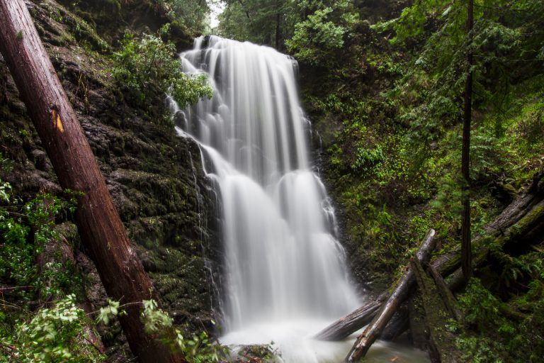 Big Basin Redwoods State Park
California's oldest state park, rising again after the 2020 fire: ancient redwoods, waterfalls and a trail from the ridge to the sea.
-
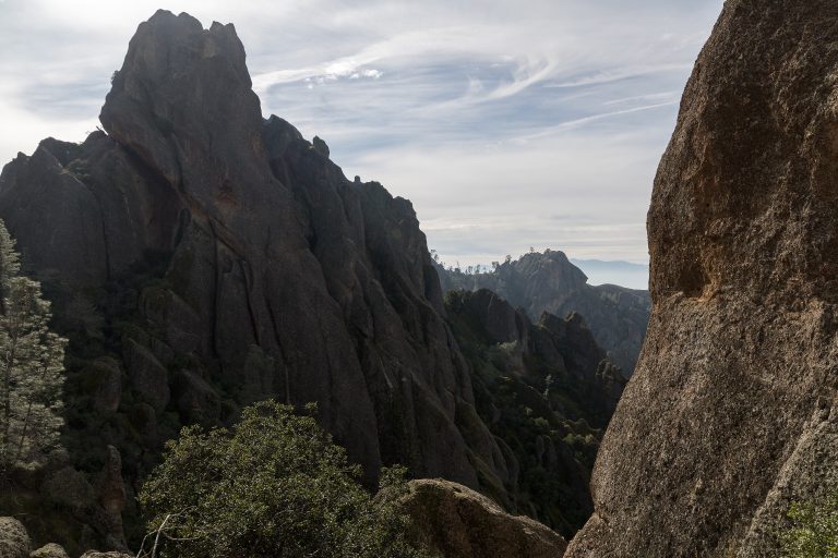 Pinnacles National Park
Volcanic spires, talus caves and California condors in the Gabilan Mountains, a couple of hours south of the San Francisco Bay Area.
-
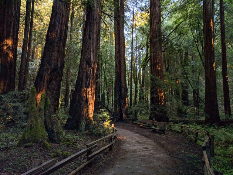 Muir Woods National Monument
Old-growth coast redwoods on level boardwalk loops 11 miles (18 km) north of the Golden Gate Bridge, with trails up Mount Tamalpais.
-
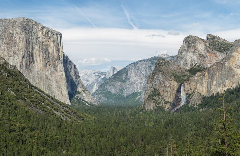 Yosemite National Park
El Capitan and Half Dome above Yosemite Valley's waterfalls, with giant sequoias and the high country of Tuolumne Meadows.
Straight-line distance between park centres. Road distance is usually longer.
Looking for somewhere closer to home?
See every park and monument within a day’s drive of where you are.