

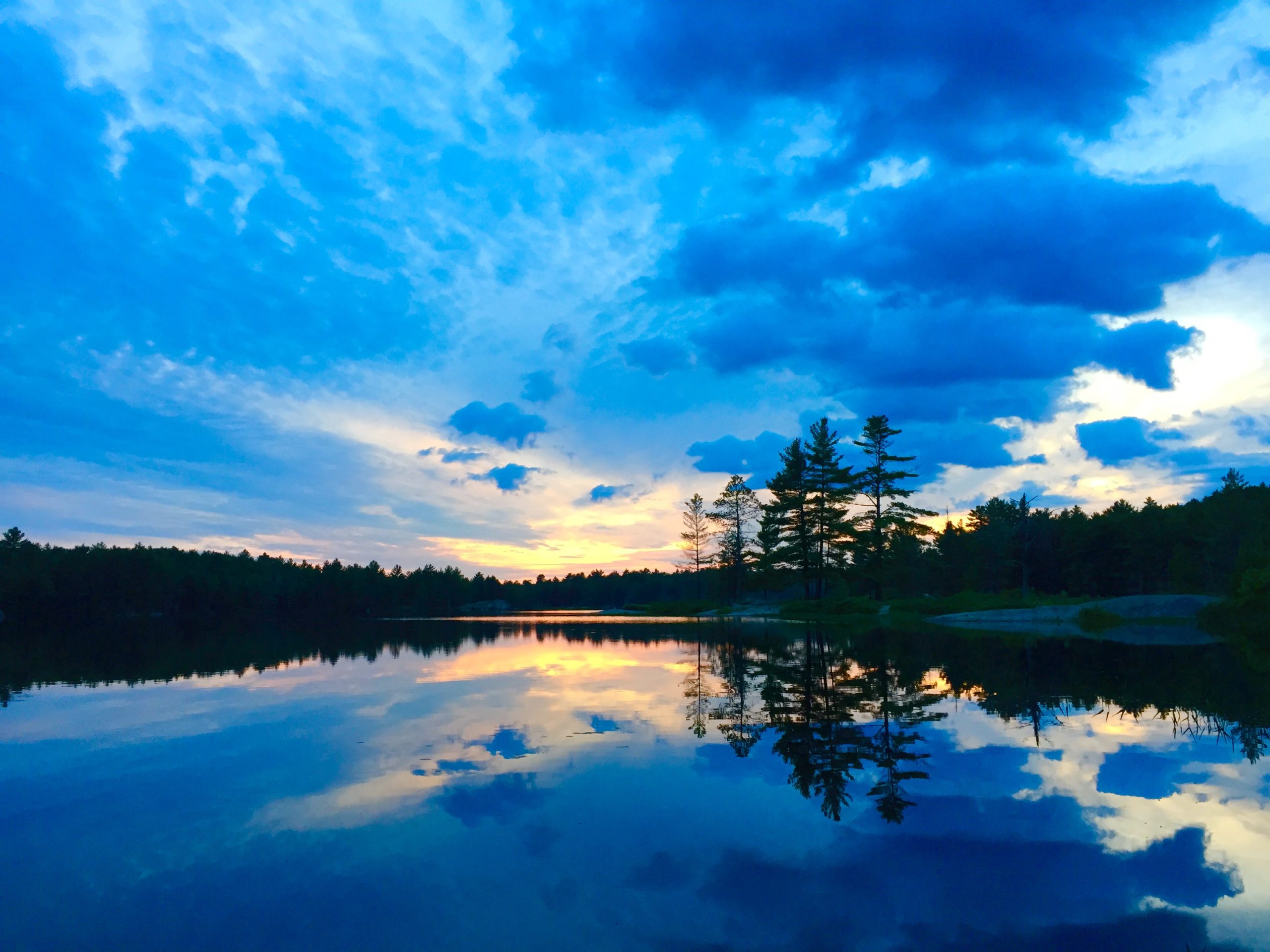
Kawartha Highlands Provincial Park
Fast facts
- Designation: a signature site park
- Size: about 145 square miles (375 km²)
- Routes: six canoe routes for beginners to experienced paddlers
- Gateway: Peterborough, and the park office in Bancroft
- Managed by: Ontario Parks
The landscape
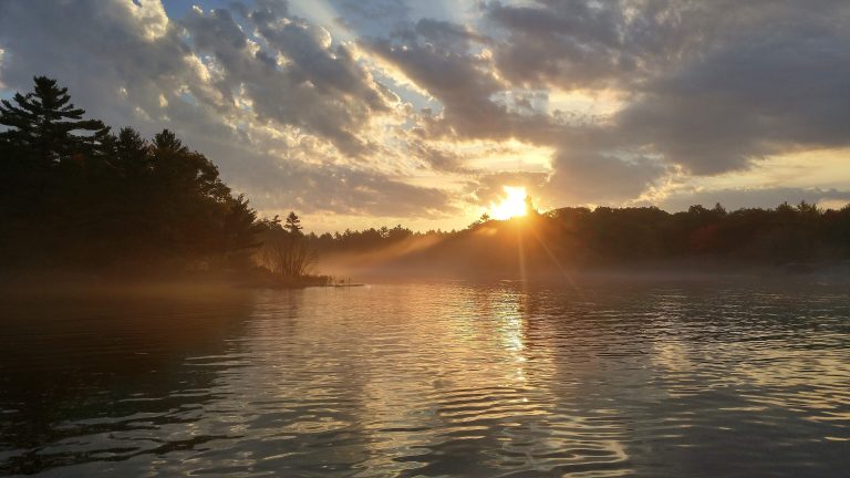
Kawartha Highlands lies on the southern edge of the Canadian Shield, a rolling landscape of small lakes, wetlands, forests and bare rocky barrens. It is semi-wilderness within easy reach of southern Ontario’s cities, with dark night skies. Loons, beavers, black bears and white-tailed deer are common, and the barrens are home to rare turtles and snakes.
Best time to go
The park is open year-round, but canoe camping runs from May to October. Summer weekends are busy. September is quieter, with colour and fewer bugs. Winter visits are for experienced winter campers only.
Getting there and around
Several access points sit off Highway 28 north of Peterborough and other local roads. Each has limited parking and facilities, so arrive with your permit and plan. From there, paddlers follow the canoe routes to reserved campsites across a web of small lakes and portages.
Things to do
Canoe camping is the main activity, from a first overnight close to an access point to multi-day loops through the park’s interior. A few short hiking trails, fishing for bass and pike, and stargazing fill out a trip.
Staying safe
Ontario Parks asks visitors to use life jackets, plan their trip and be ready for uneven backcountry terrain. Wind can build quickly on the larger lakes. Portages are rocky and can be wet. Black bears are present, so store food properly. In severe weather, campsites marked with a blue “Emergency Use Only” sign can be used temporarily; notify park staff as soon as you can.
Know before you go
Parking at access points is limited, and cans and glass bottles are banned. This page is a general overview, not a live conditions report, so confirm reservations, fire bans and access-point conditions with Ontario Parks before you go.
- Coordinates
- 44.7075, -78.2408
- Magnetic declination
- 11.0° W (2026)
Set this declination on your compass, then align it to the map's north lines; it is the angle between true north and magnetic north, refreshed each year.
How declination works, and how to navigate with a map and compass
A spread of the park’s main places shows straight away, and the rest appear as you zoom in. You can also search above, or pick any place from the lists below, and the map will go to it. Places in bold, marked , have a short description.
Getting there 1
Airstrip
On the trail 41
Trailhead
Campgrounds
Sights 40
Lakes
Map data comes from third-party sources and may be incomplete or out of date, so carry a current official map (terms).
Looking for one of these closer to home?Destinations near me by trip type →
- Best seasons
- Summer, Early fall
- Difficulty
- Easy to moderate
- Access / trailheads
- Access points off Highway 28 north of Peterborough, and off Highway 507 and county roads, all with limited facilities and parking.
- Water
- Lakes; filter or treat all water.
- Cell / satellite coverage
- Patchy. Carry a map and a satellite messenger.
- Nearest ranger / SAR / emergency
- Emergencies: 911 (Ontario Provincial Police lead search and rescue).
- Permits & regulations
- Backcountry campsites are reserved by site. Interior permits can be printed at home within 14 days of arrival or picked up at the park office in Bancroft. Cans and glass bottles are banned.
- Leave No Trace
- Camp only on reserved sites, pack out everything (no cans or bottles), store food from bears, and stick to designated portages.
January
- Below freezing all day
February
- Below freezing all day
March
- Below-freezing nights
April
May
June
July
August
September
October This month
November
- Below-freezing nights
December
- Below freezing all day
What to bring depends on your trip: how long you’re out, where you sleep, and how far you go from the road. The planner builds the list for yours.
Plan a trip here →Averages for 1981–2010 from Environment Canada climate normals, measured at the Peterborough Trent U station, 22 miles (36 km)36 km (22 miles) away at 650 feet (198 m)198 m (650 feet). Higher trails run colder, by about 3.5°F for every 1,000 ft (2°C per 300 m)2°C for every 300 m (3.5°F per 1,000 ft) of climb. Daylight runs from sunrise to sunset on the 15th, on the park’s own clock, for a level horizon. Valleys and slopes facing away from the sun are in shade earlier.
Nearby parks
-
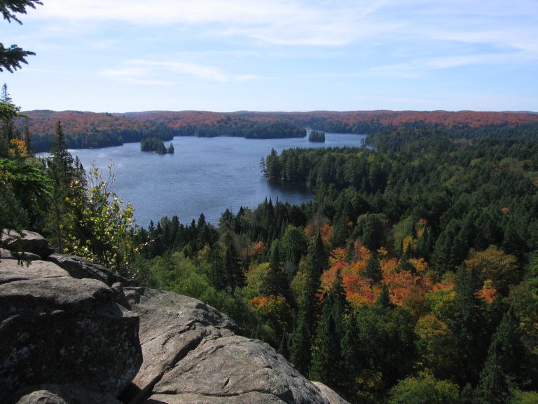 Algonquin Provincial Park
Ontario's oldest provincial park: 2,000-plus backcountry campsites on a web of lakes, portages and moose country.
-
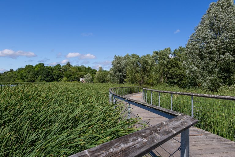 Rouge National Urban Park
One of North America's largest urban parks, in Toronto's east end: farmland, marshes, Carolinian forest and a beach.
-
 Frontenac Provincial Park
A backcountry-only park on the Canadian Shield north of Kingston, with 75 miles (120 km) of looped trails and 22 lakes.
-
 Georgian Bay Islands National Park
Granite islands and windswept pines in the 30,000 Islands, reached by boat, with cabins on Beausoleil Island.
Straight-line distance between park centres. Road distance is usually longer.
Looking for somewhere closer to home?
See every park and monument within a day’s drive of where you are.