

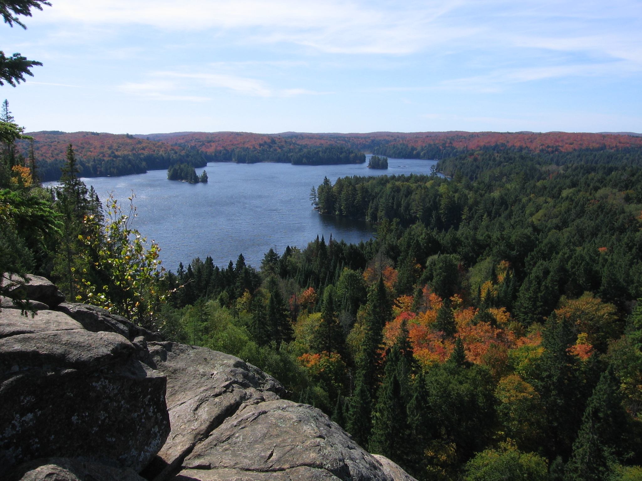
Algonquin Provincial Park
Fast facts
- Established: 1893, Ontario’s first provincial park
- Size: about 2,950 square miles (7,635 km²)
- Backcountry: 2,123 campsites, 29 access points and 87 miles (140 km) of backpacking trail
- Gateway: Huntsville at the West Gate, about three hours north of Toronto; Whitney at the East Gate
- Managed by: Ontario Parks
The landscape
Algonquin sits on the southern edge of the Canadian Shield, where the hardwood forests of the south meet the spruce and pine of the north. Thousands of lakes are strung together by rivers and portages, and the western uplands drain in every direction, so the park holds the headwaters of several major rivers. Moose are the famous sighting, often along Highway 60 in spring, and the park also holds black bears, beavers, loons and the wolves that made its public wolf howls famous.
Best time to go
Summer is canoe season, with warm water and long days, but also the heaviest crowds on the Highway 60 lakes. Late May and June bring the worst of the blackflies and mosquitoes. Late September into early October is the park at its best: maples turn red, bugs are gone and the interior empties out, though nights can drop below freezing. Winter is quiet and cold, with ski trails, snowshoeing and winter backcountry camping for those equipped for it.
Getting there and around
Most visitors drive Highway 60, which cuts across the south of the park for about 35 miles (56 km) between the West and East Gates, with campgrounds, day-use trails, the visitor centre and several access points along it. The rest of the interior is reached from access points on gravel roads around the park edge, some of them long drives from the highway. Beyond the road, travel is by canoe and portage or on foot, and each access point sets how far in you can realistically get on the first day.
Things to do
Canoe tripping is what Algonquin is known for, from a first night on a paddle-in site to weeks-long routes across the park. Backpackers have the Highland and Western Uplands trails, with loops from 4 to 55 miles (6 to 88 km). Day hikers can walk the short interpretive trails off Highway 60, such as Lookout and Track and Tower, and wildlife watchers can scan the highway corridor for moose at dawn and dusk. In winter the park offers cross-country skiing, snowshoeing and winter camping.
Staying safe
The big lakes build waves quickly in the afternoon wind, and the water stays cold well into summer, so paddle close to shore, wear a life jacket and be ready to wait out wind on land. Get off open water at the first sign of thunderstorms. Black bears are common: keep a clean site and store food properly every night. Portages are rough and poorly marked in places, so carry a map and compass and know how to use them. Help is hours away in the interior, and there is no cell service, so leave a trip plan and carry a satellite messenger.
Know before you go
Backcountry sites are reserved through Ontario Parks up to five months ahead, and popular access points fill early on summer weekends. Fire bans, bear warnings and closures change through the season. This page is a general overview, not a live conditions report, so confirm current conditions, permits and closures with Ontario Parks before you go.
- Coordinates
- 45.6572, -78.3290
- Magnetic declination
- 11.2° W (2026)
Set this declination on your compass, then align it to the map's north lines; it is the angle between true north and magnetic north, refreshed each year.
How declination works, and how to navigate with a map and compass
A spread of the park’s main places shows straight away, and the rest appear as you zoom in. You can also search above, or pick any place from the lists below, and the map will go to it. Places in bold, marked , have a short description.
Getting there 4
Visitor centres
Ranger station
On the trail 53
Trailhead
Routes
Campgrounds
Huts and shelters
Picnic sites
Sights 92
Viewpoints
Waterfalls
Lakes
Beach
Heritage sites
Points of interest
Islands
Peaks
Map data comes from third-party sources and may be incomplete or out of date, so carry a current official map (terms).
Looking for one of these closer to home?Destinations near me by trip type →
- Best seasons
- Summer, Early fall (foliage), Winter (backcountry camping)
- Difficulty
- Easy to strenuous
- Access / trailheads
- Highway 60 crosses the south of the park between the West Gate (near Huntsville) and the East Gate (near Whitney), with most campgrounds and trailheads along it. 29 access points reach the interior, several by gravel road from Highways 17, 58 and 127.
- Water
- Lakes and rivers everywhere; filter or treat all backcountry water.
- Cell / satellite coverage
- Patchy along the Highway 60 corridor and none in most of the interior. Carry a paper map and a satellite messenger.
- Nearest ranger / SAR / emergency
- Emergencies: 911 (Ontario Provincial Police lead search and rescue). Park office: 705-633-5572.
- Permits & regulations
- Every vehicle needs a provincial park permit. Backcountry camping needs a reservation, which serves as the permit; paddlers reserve by lake or zone, backpackers by site. Cans and glass bottles are banned in the backcountry.
- Leave No Trace
- Camp only on designated sites, hang or store food away from bears, use the box privies, pack out everything (no cans or bottles), and keep fires in the fire pits.
January
- Below freezing all day
February
- Below freezing all day
March
- Below-freezing nights
April
- Below-freezing nights
May
June
July
August
September
October This month
November
- Below-freezing nights
December
- Below freezing all day
What to bring depends on your trip: how long you’re out, where you sleep, and how far you go from the road. The planner builds the list for yours.
Plan a trip here →Averages for 1981–2010 from Environment Canada climate normals, measured at the Dwight station, 24 miles (39 km)39 km (24 miles) away at 1,325 feet (404 m)404 m (1,325 feet). Higher trails run colder, by about 3.5°F for every 1,000 ft (2°C per 300 m)2°C for every 300 m (3.5°F per 1,000 ft) of climb. Daylight runs from sunrise to sunset on the 15th, on the park’s own clock, for a level horizon. Valleys and slopes facing away from the sun are in shade earlier.
Nearby parks
-
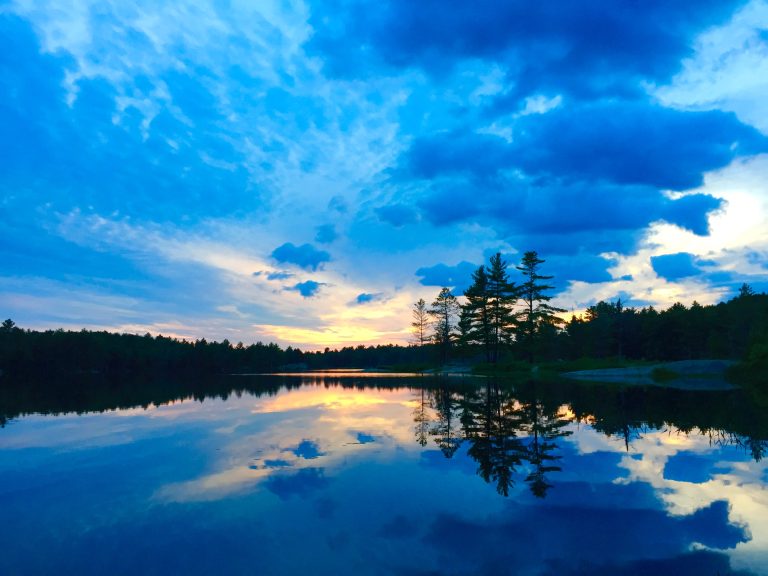 Kawartha Highlands Provincial Park
Beginner-friendly canoe camping and dark skies on the Shield, a couple of hours from Toronto, among lakes and rocky barrens.
-
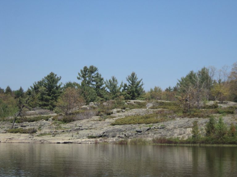 The Massasauga Provincial Park
Windswept pines, granite islands and paddle-in sites on Georgian Bay, home of Ontario's only rattlesnake.
-
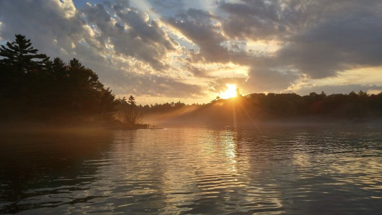 Georgian Bay Islands National Park
Granite islands and windswept pines in the 30,000 Islands, reached by boat, with cabins on Beausoleil Island.
-
 Killbear Provincial Park
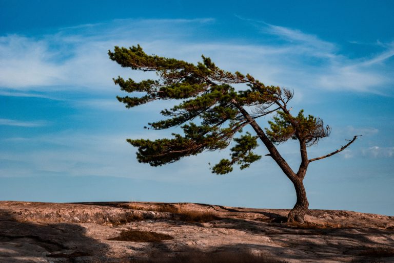
Pink granite, sand beaches and windswept pines on more than 7 miles (12 km) of Georgian Bay shore, at one of Ontario's most visited parks.
Straight-line distance between park centres. Road distance is usually longer.
Looking for somewhere closer to home?
See every park and monument within a day’s drive of where you are.