

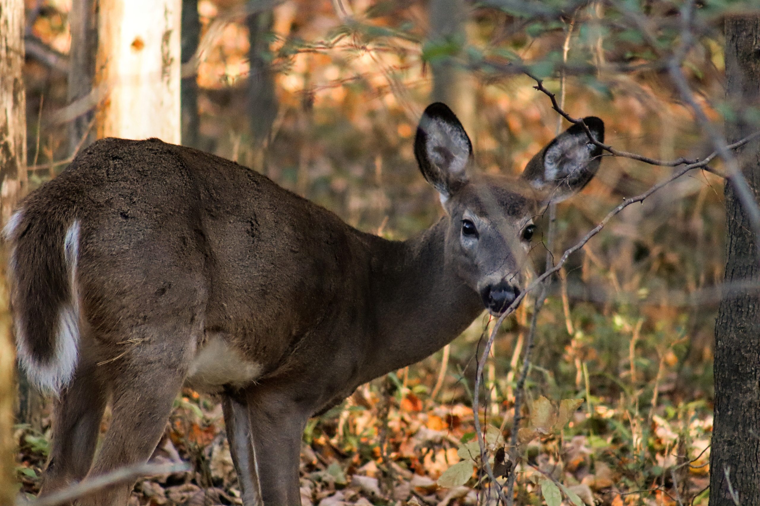
Frontenac Provincial Park
Fast facts
- Established: 1974
- Size: about 21 square miles (5,355 ha)
- Backcountry: 54 campsites in 19 clusters, all reachable by trail and most by canoe
- Trails: more than 75 miles (120 km) of hiking and backpacking loops
- Gateway: Kingston, about 25 miles (40 km) south
- Managed by: Ontario Parks
The landscape
Frontenac sits on the Frontenac Arch, where the Canadian Shield reaches south toward the St. Lawrence. Rocky ridges, beaver ponds, wetlands and 22 lakes are wrapped in mixed forest of oak, maple and pine. The park is a meeting place of northern and southern species, and home to white-tailed deer, black bears, beavers, otters, and gray ratsnakes.
Best time to go
Frontenac is open all year for backcountry use. Spring brings wildflowers and high water, with bugs in May and June. Summer is warm and busy on weekends. Fall colour peaks in early October. Winter brings snowshoeing and winter camping, but ice on the lakes can be unreliable.
Getting there and around
The park is a short drive north of Kingston through Sydenham, on Salmon Lake Road. The Trail Centre on Big Salmon Lake is the hub for trails and canoe routes. There is no car camping: every campsite is reached on foot or by canoe, with portages of moderate length.
Things to do
Frontenac is one of the best places in southern Ontario for a first backpacking or canoe trip, with loops from a few hours to several days. Longer routes such as the Arab Lake Gorge and the Slide Lake loop cross the park’s rockiest country. Paddlers link lakes with short portages, and anglers fish for bass and lake trout. In winter, the trails become snowshoe routes.
Staying safe
Ticks, including blacklegged ticks that carry Lyme disease, are common in eastern Ontario, so check yourself daily. Trails are rocky and hilly, and slippery when wet. Black bears are present, so store food properly. Cold water in spring and fall calls for a life jacket and care on the lakes, and in winter the ice is not always safe. Leave a trip plan.
Know before you go
Backcountry sites are reserved through Ontario Parks up to five months ahead. This page is a general overview, not a live conditions report, so confirm current conditions, fire bans and reservations with Ontario Parks before you go.
- Coordinates
- 44.5393, -76.5093
- Magnetic declination
- 12.0° W (2026)
Set this declination on your compass, then align it to the map's north lines; it is the angle between true north and magnetic north, refreshed each year.
How declination works, and how to navigate with a map and compass
A spread of the park’s main places shows straight away, and the rest appear as you zoom in. You can also search above, or pick any place from the lists below, and the map will go to it. Places in bold, marked , have a short description.
Getting there 1
Ranger station
On the trail 15
Campgrounds
Sights 39
Viewpoints
Waterfall
Lakes
Islands
Map data comes from third-party sources and may be incomplete or out of date, so carry a current official map (terms).
Looking for one of these closer to home?Destinations near me by trip type →
- Best seasons
- Spring, Summer, Fall (foliage), Winter (snowshoeing)
- Difficulty
- Easy to moderate
- Access / trailheads
- Salmon Lake Road north of Sydenham, about 25 miles (40 km) north of Kingston. Most trails and canoe routes start from the Trail Centre on Big Salmon Lake.
- Water
- Lakes throughout; filter or treat all water.
- Cell / satellite coverage
- Patchy. Carry a map; a satellite messenger is a good idea on longer loops.
- Nearest ranger / SAR / emergency
- Emergencies: 911 (Ontario Provincial Police lead search and rescue).
- Permits & regulations
- Every vehicle needs a provincial park permit. Backcountry camping needs a site-specific reservation, which is your interior permit; there is no need to check in at the park office.
- Leave No Trace
- Camp only at your reserved site, store food from bears, use the box privies and pack out all waste.
January
- Below freezing all day
February
- Below freezing all day
March
- Below-freezing nights
April
May
June
July
August
September
October This month
November
- Below-freezing nights
December
- Below freezing all day
What to bring depends on your trip: how long you’re out, where you sleep, and how far you go from the road. The planner builds the list for yours.
Plan a trip here →Averages for 1981–2010 from Environment Canada climate normals, measured at the Hartington Ihd station, 12 miles (19 km)19 km (12 miles) away at 525 feet (160 m)160 m (525 feet). Higher trails run colder, by about 3.5°F for every 1,000 ft (2°C per 300 m)2°C for every 300 m (3.5°F per 1,000 ft) of climb. Daylight runs from sunrise to sunset on the 15th, on the park’s own clock, for a level horizon. Valleys and slopes facing away from the sun are in shade earlier.
Nearby parks
-
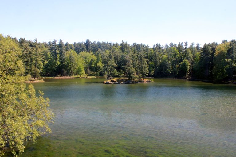 Thousand Islands National Park
Granite islands and channels in the St. Lawrence between Kingston and Brockville, best explored by kayak or boat.
-
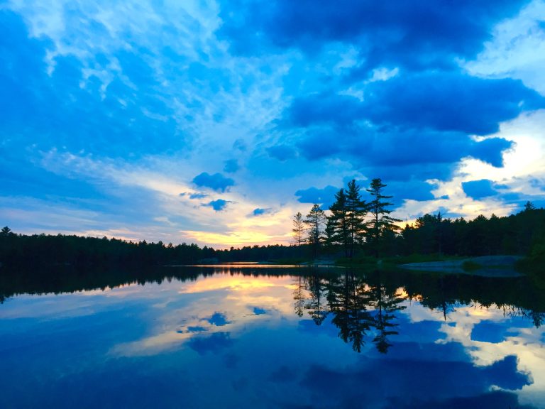 Kawartha Highlands Provincial Park
Beginner-friendly canoe camping and dark skies on the Shield, a couple of hours from Toronto, among lakes and rocky barrens.
-
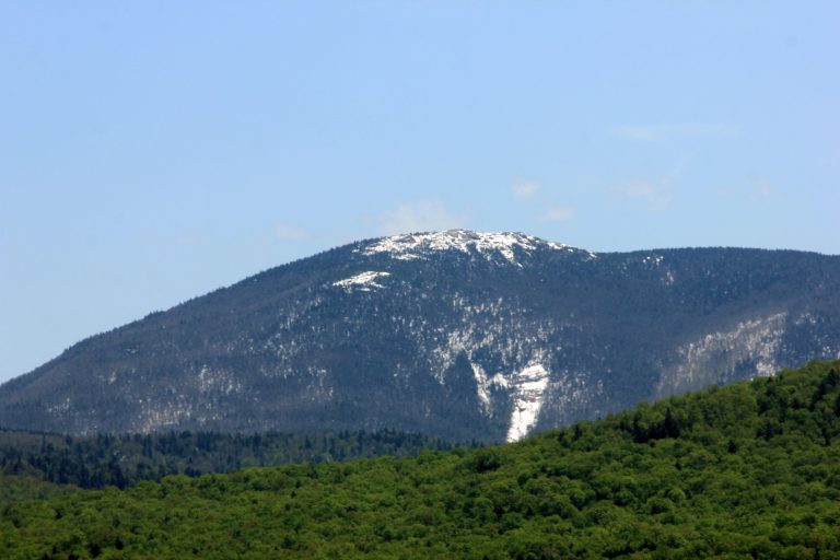 Adirondack Park
Six million acres (24,000 km²) of mountains, lakes and forest: the High Peaks, canoe country and the Lower 48's largest park.
-
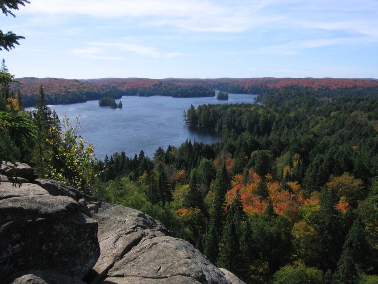 Algonquin Provincial Park
Ontario's oldest provincial park: 2,000-plus backcountry campsites on a web of lakes, portages and moose country.
Straight-line distance between park centres. Road distance is usually longer.
Looking for somewhere closer to home?
See every park and monument within a day’s drive of where you are.