

Thousand Islands National Park
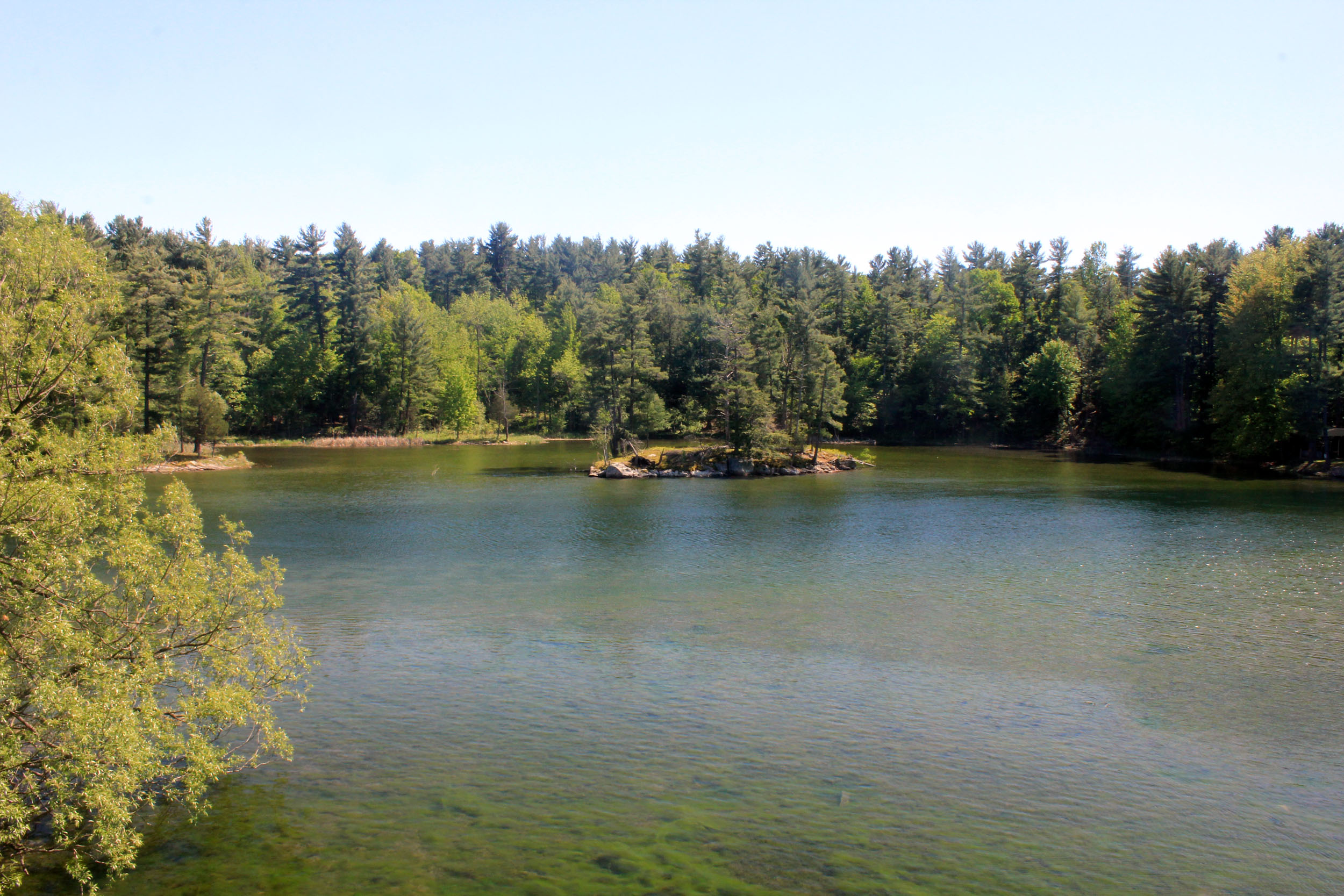
Thousand Islands National Park scatters across the storied St. Lawrence River, where the ancient granite of the Frontenac Arch breaks the water into a maze of pine-clad islands. Canada’s smallest national park by land, it is a paddler’s paradise of granite-and-pine islets, hidden coves and rich biodiversity, easily reached yet feeling a world away among the channels of the great river.
Fast facts
- Established: 1904, the first national park east of the Rockies
- Size: about 9.3 square miles (24 km²) across the mainland and 20-plus islands
- Setting: the St. Lawrence River between Kingston and Brockville
- Biosphere: part of the Frontenac Arch UNESCO Biosphere Reserve
- Mainland hub: Mallorytown Landing, Ontario
- Managed by: Parks Canada
The landscape
The islands are the exposed tops of the Frontenac Arch, an ancient granite ridge linking the Canadian Shield to the Adirondacks, and this crossroads of habitats makes the park unusually biodiverse. Windswept pines and oaks cling to smooth granite shorelines, sheltered wetlands and coves fill the gaps, and the mix supports rare reptiles, ospreys, herons and a wealth of river life.
Best time to go
Summer is the heart of the season for paddling, boating and island camping, with warm water and full services; early fall brings color and quieter channels. Outside the warm months boat access winds down, so most visits happen from late spring through early fall.
Getting there and around
The mainland base at Mallorytown Landing lies off Highway 401 between Kingston and Brockville, with a visitor centre, trails and boat launch. A vehicle brings you there, but the park’s heart is the islands, reached by kayak, canoe, private boat or tour boat. The water is the way to experience it.
Things to do
Sea kayak or canoe among the islands and coves, the classic Thousand Islands experience, and stay overnight at boat-in campsites, including cozy oTENTik tents. Hike the mainland and island trails, take a boat tour of the river and its famous castles nearby, and watch for ospreys, herons and turtles along the shores.
Staying safe
The St. Lawrence is cold, busy water where storms can rise quickly and boat traffic is heavy, so paddlers need proper gear, visibility and weather awareness. Granite shorelines get slippery, ticks are common on the islands, and channels can be confusing. Carry a map, wear a life jacket, and plan your crossings.
Know before you go
A Parks Canada pass is required, and island campsites are boat-access and should be reserved ahead. This page is a general overview, not a live conditions report; always confirm current conditions, boat access and reservations with Parks Canada before your trip.
- Coordinates
- 44.2407, -76.1757
- Magnetic declination
- 12.1° W (2026)
Set this declination on your compass, then align it to the map's north lines; it is the angle between true north and magnetic north, refreshed each year.
A spread of the park’s main places shows straight away, and the rest appear as you zoom in. You can also search above, or pick any place from the lists below, and the map will go to it.
Sights 2
Viewpoint
Peak
Map data comes from third-party sources and may be incomplete or out of date, so carry a current official map (terms).
- Best seasons
- Summer, Early fall
- Difficulty
- Easy to moderate
- Access / trailheads
- Along the St. Lawrence River between Kingston and Brockville, Ontario, off Highway 401; Mallorytown Landing is the mainland hub, with islands reached by boat.
- Water
- Carry drinking water to the islands; treat river water if needed.
- Cell / satellite coverage
- Generally good cell coverage given the setting.
- Nearest ranger / SAR / emergency
- Marine emergencies via the Canadian Coast Guard; life-threatening emergencies: 911.
- Permits & regulations
- A Parks Canada pass is required; the island campsites are boat-access and reservable, and the mainland Mallorytown Landing has visitor facilities.
- Leave No Trace
- Camp only at designated sites, protect fragile island habitats, pack out all waste, and follow Leave No Trace.
January
- Below freezing all day
February
- Below freezing all day
March
- Below-freezing nights
April
May
June
July
August
September This month
October
November
- Below-freezing nights
December
- Below freezing all day
What to bring depends on your trip: how long you’re out, where you sleep, and how far you go from the road. The planner builds the list for yours.
Plan a trip here →Averages for 1981–2010 from Environment Canada climate normals, measured at the Brockville station, 35 miles (57 km) away at 315 feet (96 m).