

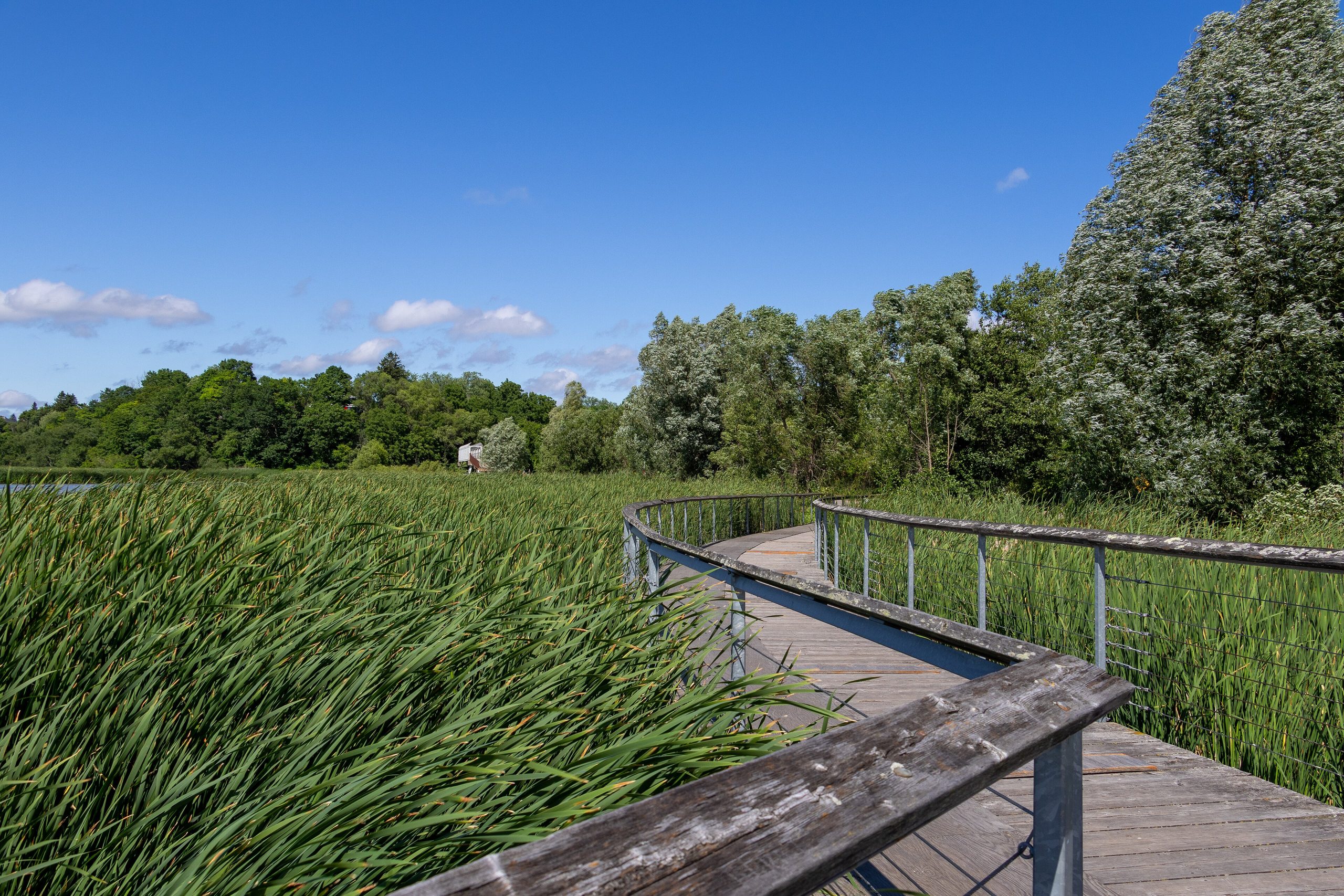
Rouge National Urban Park
Rouge is Canada’s first national urban park, a remarkable pocket of nature, farmland and history within the Greater Toronto Area, reachable by city transit. Spanning forest, river valleys, wetlands, working farms and a Lake Ontario beach, it protects rare Carolinian habitat and thousands of years of human history at the doorstep of millions of people.
Fast facts
- Established: 2015, Canada’s first national urban park
- Size: about 31 square miles (79.1 km²) across the eastern Greater Toronto Area
- Habitats: Carolinian forest, wetlands, river valleys, farmland and a Lake Ontario beach
- Access: reachable by public transit from Toronto
- Setting: Toronto, Markham and Pickering, Ontario
- Managed by: Parks Canada
The landscape
The park follows the Rouge and Little Rouge rivers from Lake Ontario north into the Oak Ridges Moraine, weaving together some of the northernmost Carolinian forest in Canada, marshes, meadows, and some of the last working farmland in the region. This surprising diversity within a metropolis shelters deer, beavers, turtles, and a rich array of birds and rare species.
Best time to go
Spring through fall is the prime time, wildflowers and birdsong in spring, warm beach days and full trails in summer, and brilliant color in the fall hardwoods, the most popular season. Winter is quiet and often snowy, good for a crisp walk or snowshoe close to the city.
Getting there and around
Uniquely for a national park, Rouge is reachable by public transit as well as car, with multiple trailheads across Toronto, Markham and Pickering and a beach at the lake. A vehicle helps link the scattered access points, but many visitors arrive car-free, part of the park’s mission to bring nature within everyone’s reach.
Things to do
Hike the network of trails through forest and river valley, relax on the Lake Ontario beach at Rouge Beach, and watch for birds in the marshes. Cycle the paths, learn about the park’s Indigenous and farming history, camp at the park’s campground, and enjoy a genuine slice of wilderness minutes from downtown.
Staying safe
Lake Ontario is cold and can develop rip currents, so heed beach guidance. Ticks are increasingly common on the trails, riverbanks can be slippery, and summer brings heat. Use repellent, carry water, and take normal care in the busy urban surroundings. Stay on trails to protect the sensitive habitats and farmland.
Know before you go
There is no entrance fee, trails are free, and camping should be reserved. This page is a general overview, not a live conditions report; always confirm current conditions, transit access and closures with Parks Canada before your trip.
- Coordinates
- 43.8924, -79.1907
- Magnetic declination
- 10.3° W (2026)
Set this declination on your compass, then align it to the map's north lines; it is the angle between true north and magnetic north, refreshed each year.
A spread of the park’s main places shows straight away, and the rest appear as you zoom in. You can also search above, or pick any place from the lists below, and the map will go to it.
On the trail 1
Campground
Sights 2
Viewpoint
Peak
Map data comes from third-party sources and may be incomplete or out of date, so carry a current official map (terms).
- Best seasons
- Spring, Summer, Fall
- Difficulty
- Easy to moderate
- Access / trailheads
- Within the Greater Toronto Area, spanning Toronto, Markham and Pickering, Ontario; multiple trailheads and a beach at Lake Ontario are reachable by car and transit.
- Water
- Drinking water at developed areas; carry water on trails.
- Cell / satellite coverage
- Full cell coverage in the urban setting.
- Nearest ranger / SAR / emergency
- Parks Canada / local services; life-threatening emergencies: 911.
- Permits & regulations
- No entrance fee; most trails are free, and a campground offers reservable sites. Public transit reaches several access points.
- Leave No Trace
- Stay on trails, protect farmland and wildlife, pack out all waste, and follow Leave No Trace.
January
- Below freezing all day
February
- Below freezing all day
March
- Below-freezing nights
April
May
June
July
August
September This month
October
November
- Below-freezing nights
December
- Below-freezing nights
What to bring depends on your trip: how long you’re out, where you sleep, and how far you go from the road. The planner builds the list for yours.
Plan a trip here →Averages for 1981–2010 from Environment Canada climate normals, measured at the Toronto Buttonville Airport station, 9 miles (15 km) away at 650 feet (198 m).