Reading the clouds: forecast the weather by the sky
Long before a forecast app existed, people read the weather in the sky overhead, and in the backcountry, where your signal is gone and conditions turn fast, that skill still saves trips and lives. Clouds are the visible edge of the weather moving toward you, and their shape and height tell you what is coming and roughly when. This guide covers reading the clouds and the sky to forecast the next few hours to a couple of days, so you can act before the weather arrives.
The principle is that weather usually announces itself from high up first. A warm front slides in with high, wispy clouds a day or more ahead, thickening and lowering as the rain approaches, so a change in the high clouds is your earliest warning. Fair-weather clouds, by contrast, are puffy and separate, or high and thin and unthreatening. Learn a handful of cloud types by their look and height, watch which way the sky is trending, and you can read the next chapter of the weather before it lands on you. This pairs with the decision-making in our guide to reading backcountry weather and staying ahead of storms.
Why the sky is your backcountry forecast
A pre-trip forecast tells you what the region will roughly do; the sky tells you what is actually happening over your valley in the next few hours. In the mountains especially, weather is intensely local and changes faster than any general forecast can track. An afternoon thunderstorm can build over one ridge while the next is clear. Once you are out of signal, the clouds are the most current forecast you have. Reading them buys you the lead time to get off an exposed ridge, pitch a tarp, or turn back before the weather forces the decision for you.
The three cloud families and their heights
Two centuries ago clouds were sorted into three basic looks, and the Latin names still describe what you see. Almost every cloud is a variation or combination of these:
- Cirrus . High, thin, wispy streaks and curls, far up in the sky.
- Cumulus , lower, fluffy, heaped-up clouds like cotton balls with flat bottoms.
- Stratus . Low, flat, featureless gray layers that spread across the sky.
Add the word nimbus (rain) and combine the names and you can describe most of what the sky does: cirrostratus, cumulonimbus, and so on. Height matters as much as shape. High clouds are often the early warning, low gray clouds are usually the rain itself.
Fair-weather clouds
These clouds, on their own and not changing, generally mean settled weather. Enjoy them, but keep watching whether they start to thicken:
- Cirrus . Thin high streaks, usually 6 km (4 miles) up or more. On their own they mean fair weather. (One exception: in cold climates, cirrus that multiply fast with a steady, building north wind can foretell a blizzard.)
- Cumulus , the classic white cotton-ball clouds with flat bottoms that appear around midday on a sunny day. Small and separate, they are fair-weather clouds. But watch them: if they keep building upward through the afternoon into towering mounds, they can turn into storm clouds.
- Cirrocumulus , small, white, rounded high clouds in patches (a “mackerel sky”). Generally a sign of good weather.
- Cirrostratus . A thin, fairly uniform high veil, darker than plain cirrus, often making a halo around the sun or moon. On its own it points to decent weather, but if it is thickening and lowering, treat it as an early warning (below).
Clouds that warn of change
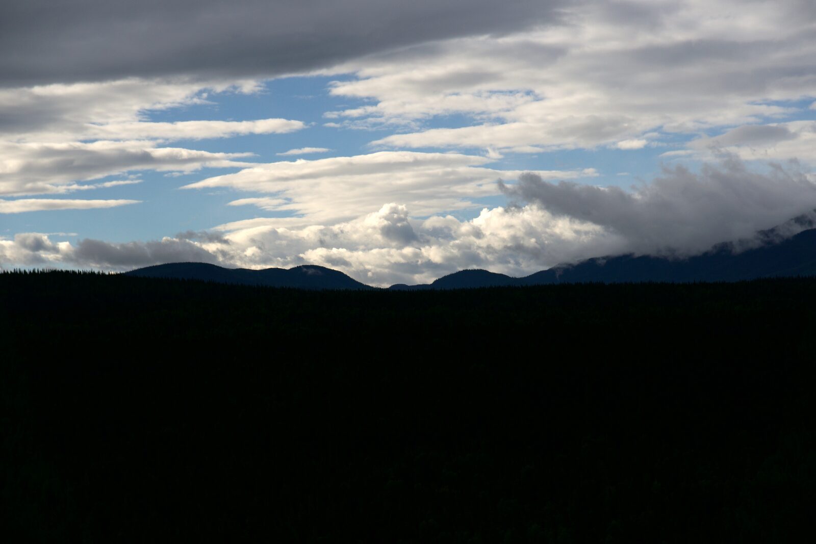
The most useful skill is spotting weather a day out, while you still have easy options. The tell is high clouds thickening and lowering over hours: cirrus giving way to a cirrostratus veil, then to a lower, grayer sheet. That progression. Thin and high becoming thick and low. Is the signature of an approaching warm front and its rain, often 12 to 36 hours ahead. When you see the high clouds marching in and the sky steadily whitening or graying, start planning for wet weather even under a currently dry sky.
A halo often precedes rain
A ring around the sun or moon comes from ice crystals in high, thin cirrostratus, frequently the leading edge of an approaching front. An old sailor’s rule captures it: “ring around the moon, rain by noon.” Not infallible, but a good prompt to check your shelter and route.
Clouds that mean rain or storms now
When the clouds are low and gray, the weather has arrived or is minutes away:
- Stratus , a low, even gray layer over the whole sky. It generally means drizzle or steady light rain and socked-in, low-visibility conditions.
- Nimbostratus (nimbus) , a uniform, thick gray rain cloud covering the sky. This is your steady, soaking rain, often lasting hours.
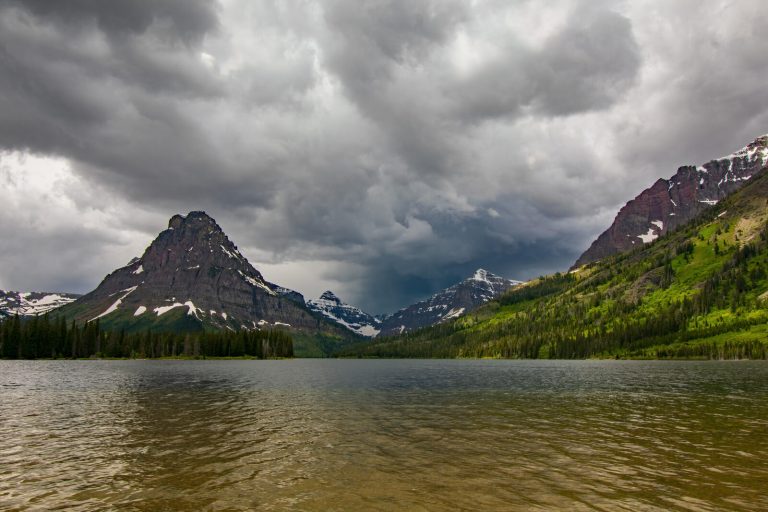
- Cumulonimbus , the big one. A cumulus cloud that has built up into a towering mountain with a flattened anvil top spreading downwind. If a cumulonimbus is building or moving toward you, expect a thunderstorm, heavy rain, lightning, gusts, and possibly hail. Get off ridges, peaks, and open water and away from lone trees before it arrives.
- Scud , loose, ragged, low clouds racing along beneath a storm layer, driven by the wind. They signal continuing bad weather.
A towering anvil means lightning. Leave high ground
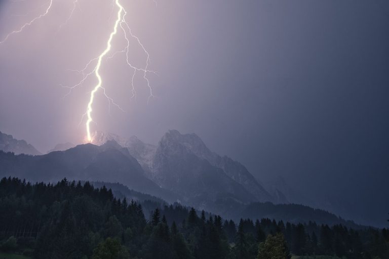
A building cumulonimbus is the one cloud that demands immediate action. Thunderstorms bring lightning, and exposed ridges, summits, lone trees, and open water are the dangerous places to be. When you see one building toward you, descend from exposed terrain early. Do not wait for the first thunder.
Other sky and air signs
Clouds are the headline, but the whole sky and air fill in the story:
- Red sky. “Red sky at night, sailor’s delight; red sky in morning, sailor’s warning.” A red sunset often means clear weather approaching from the west; a red sunrise can mean the good weather has already passed east and a system is coming.
- Wind shift. Weather in the mid-latitudes generally moves west to east. A wind backing around to come steadily from the east or south often precedes a front and rain.
- Falling pressure. If you carry an altimeter watch, a barometer that is dropping means unsettled weather moving in; rising pressure means improving.
- Smells and sound carrying. Air ahead of a low-pressure system holds moisture, so distant sounds seem louder and clearer and scents (damp earth, vegetation) grow stronger, a subtle sign of coming wet weather.
- Halos, humidity, and still, muggy air before a summer afternoon all raise the odds of storms building.
Read the trend, not the snapshot
A single glance at one cloud tells you little; the direction the whole sky is heading tells you almost everything. Look up every hour or two and ask: are the clouds getting higher or lower, thinner or thicker, fewer or more? A sky that is clearing and lifting is improving; a sky whose clouds are lowering, thickening, and multiplying is deteriorating, whatever it looks like right now. Note which way they are moving, too. Clouds coming toward you carry their weather to you. Building through the day is the classic pattern for afternoon mountain storms, which is why an alpine start and an early turnaround are such reliable habits.
Turning a sky read into a decision
Reading the sky only matters if you act on it. When the signs point to deteriorating weather: get off exposed and high terrain, identify and move toward shelter, add or ready your rain layer before the rain, top up water, and reconsider whether to push on or turn back. In the mountains, treat a building afternoon cumulonimbus as a hard deadline to be off the summit. Deciding early, while the sky is only warning, not yet raining, is what keeps a weather change from becoming a weather emergency. Our guide to staying ahead of storms covers building those calls into your day.
Common mistakes, and how to fix them
- Watching the ground, not the sky. Look up regularly. The warning is overhead, hours before it reaches you.
- Reacting to the snapshot. One cloud means little; the trend over hours is the forecast.
- Ignoring building cumulus. Fair-weather puffs that tower up through the afternoon become thunderstorms. Watch them grow.
- Waiting for thunder to leave a ridge. By then the storm is on you. Descend when the anvil is still building.
- Trusting the morning forecast all day. Mountain weather is local and fast. The current sky overrules a stale forecast.
What to carry
- A rain shell and pack cover . Reading the sky is only useful if you can act on it before the rain.
- An altimeter/barometer watch , a falling barometer confirms what the clouds suggest.
- A compact tarp or emergency shelter , somewhere to wait out a passing storm; see building an emergency shelter.
- A downloaded forecast and weather radio . Check before you lose signal, and top up when you regain it.
- A headlamp , storms bring early darkness; see our Black Diamond Spot 400 review.
Read our guide to staying ahead of storms
Key takeaways
The sky is the most current forecast you have once you leave the trailhead. High, thin, fair-weather clouds that thicken and lower are your day-ahead warning of rain; low gray layers are the rain itself; a towering anvil cloud building toward you means lightning and a hard call to get off high ground. Read the trend over hours, not a single cloud, and act while the sky is only warning. Learn these few cloud types on ordinary days and the mountain sky becomes something you can read at a glance.
Adapted in part from the U.S. Army Survival Field Manual (FM 3-05.70 / FM 21-76), Appendix H, “Clouds: Foretellers of Weather,” with modern civilian mountain-weather practice.
Wilderness Experts is reader-supported. As an Amazon Associate we earn from qualifying purchases; when you buy through links on our site we may earn a commission at no extra cost to you. It never changes what we recommend.