Reading backcountry weather and staying ahead of storms
Weather turns back more trips and hurts more people than any other backcountry hazard, and it does it by making everything else worse. Cold rain and wind will give you hypothermia in July. Poor visibility turns easy navigation into a serious problem. Wet rock ends confident scrambling. Almost nothing in the mountains is dangerous on its own, and almost everything becomes dangerous when the weather changes. This guide covers how backcountry weather is actually made, how to get and read a forecast that applies to where you are going, and how to turn all of it into decisions while you still have options.
The mantra is short: check the trend before you go, watch the sky while you are out, and turn back early. Weather almost never improves as fast as it deteriorates, and the cost of being wrong is asymmetric. Being off the ridge an hour early costs you a summit. Being on it an hour late can cost far more.
Weather is the hazard multiplier
Look at how backcountry incidents actually unfold and weather is rarely the whole story, but it is usually in the story. A party is slower than planned, cloud comes in, the descent they scouted is now invisible, the temperature drops, someone is wet, and a manageable day becomes a rescue. None of those steps is dramatic on its own. Together they are the standard shape of a bad day.
That is the useful way to think about weather: not as a separate hazard to be survived, but as the thing that sets the difficulty of everything else you are doing. It determines how fast you move, how well you navigate, how much energy you burn, how much margin you have if something goes wrong, and how survivable an unplanned stop would be. A forecast is therefore not just a question of whether you will get wet. It is a question of what the rest of the day will cost you.
It follows that the most valuable weather skill is not prediction. It is having decided in advance what you will do about each realistic outcome, so that when the sky changes you are executing a plan rather than improvising while cold.
How mountains make their own weather
Valley weather and summit weather can be completely different, and the reasons are mechanical rather than mysterious.
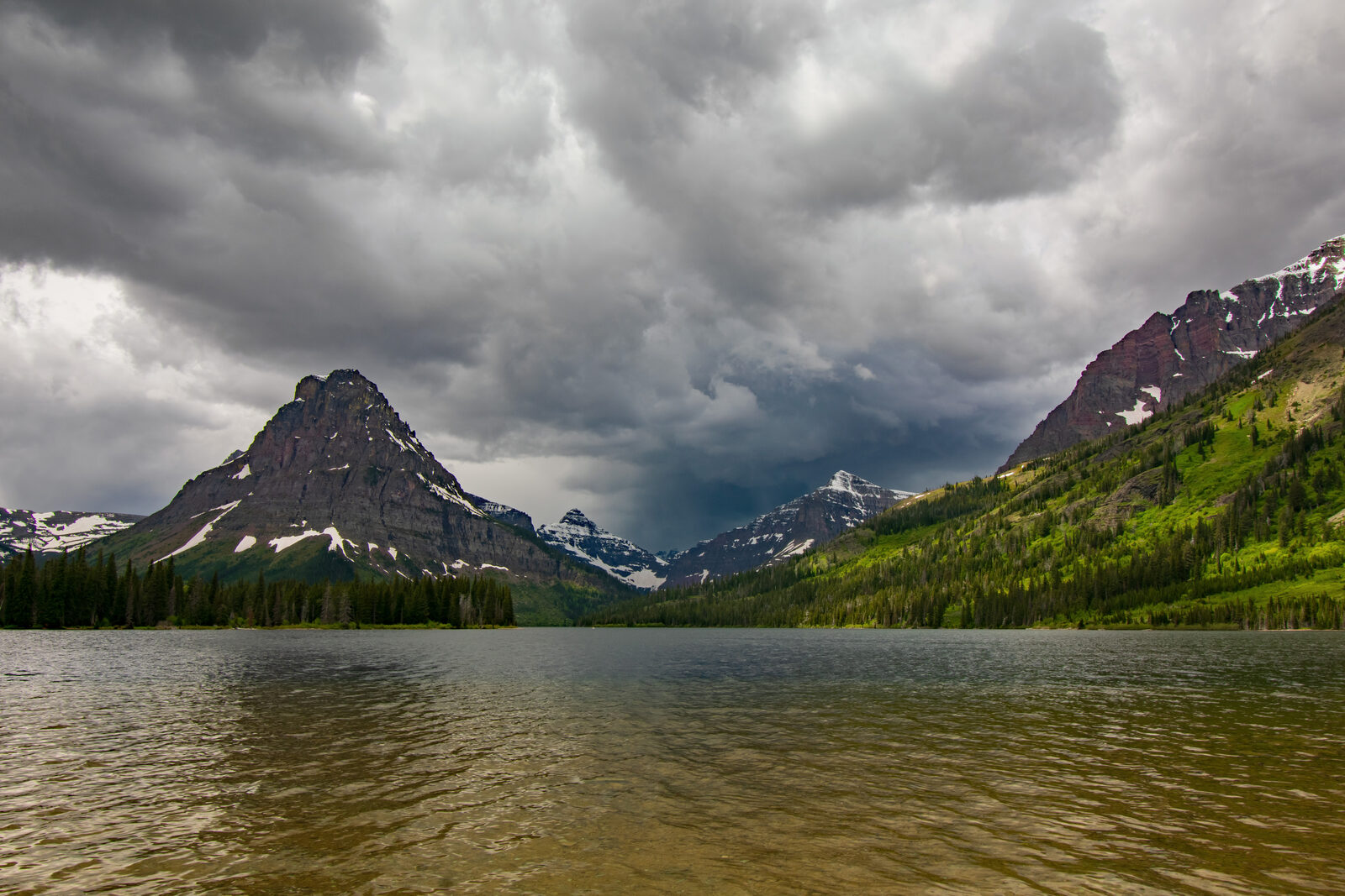
Air forced upward cools and drops its moisture. When wind meets a mountain range it has nowhere to go but up. Rising air expands and cools, cooling air holds less water vapour, and the vapour condenses into cloud and then precipitation. This is called orographic lift, and it is why the windward side of a range is wet, why summits wear cloud caps when the valley is clear, and why you can walk from sunshine into weather in half an hour of climbing. On the far side, the air descends, warms and dries, which is the rain shadow that makes one side of a range green and the other brown.
Temperature falls predictably with height. On average the air cools about 3.5°F for every 1,000 feet (2°C per 300 m) you climb, and in dry conditions it can be closer to 5.5°F per 1,000 feet (3°C per 300 m). That sounds modest until you do the arithmetic on a real objective: a summit 5,000 feet (1,500 m) above the trailhead is typically about 18°F (10°C) colder than the car, before any wind. A pleasant 60°F (16°C) at the road is a little above 40°F (4°C) at the top, and that is the temperature at which wet clothing starts to become genuinely dangerous.
Plan for the summit, not the parking lot
The forecast you read is almost always for a town at valley elevation. Your day happens somewhere colder, windier and wetter. Add the elevation difference, subtract the temperature, add the wind, and plan for that number instead. A clear trailhead tells you nothing about a socked-in ridge 4,000 feet (1,200 m) above it.
Terrain also steers wind. Valleys, cols and passes funnel and accelerate it, so the windiest place on your route is frequently a gap rather than a summit. Ridges and lee slopes create turbulence and eddies. And large bodies of water moderate temperature nearby while feeding moisture into whatever comes over them.
Wind matters more than temperature
If you only get to know one number beyond the temperature, make it the wind. Wind strips the thin layer of warm air your body maintains next to your skin, and replaces it continuously with cold air. The result is that moving air pulls heat out of you far faster than still air at the same temperature, which is what wind chill describes.
The effect is large. A calm day at 30°F (−1°C) is a pleasant winter walk. The same temperature with a 30 mph (48 km/h) wind feels closer to 15°F (−9°C) and takes heat out of exposed skin fast enough to matter. Wind also makes everything else harder: it wrecks balance on exposed ground, makes communication almost impossible, exhausts you, drives rain through clothing, and makes stopping to fix a problem much less appealing at exactly the moment you should stop and fix the problem.
Wind chill applies to exposed skin, so it is not a reason to panic if you are well covered, but it is the reason a shell layer matters as much as an insulating one. It is also why the ridge is a different proposition from the corrie below it, and why the forecast wind speed at summit level is one of the most decision-relevant numbers you can get. See what to wear in the bush for the layering system that deals with it.
The daily cycle you can plan around
Mountain weather runs on a daily rhythm that is reliable enough to schedule around, and doing so is the single highest-value weather habit there is.
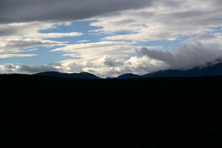
Through the morning the sun heats the ground, the ground heats the air above it, and that warm air rises. If there is enough moisture, the rising air builds cumulus cloud that grows taller through the day and, by early afternoon, can mature into thunderstorms. This is why summer afternoon storms in mountain country are close to a daily event rather than a surprise, and why the standard practice is to summit early and be off exposed ground by early afternoon. Watch the cumulus: if the puffy morning clouds are growing vertically and darkening at the base, the clock is running.
The same heating drives daily winds. During the day air flows up-valley and up-slope as the ground warms. After sunset the ground cools quickly, the air above it cools, and being denser it drains back down the slopes and valleys. That night-time downslope flow is why valley floors and hollows are colder than the ground above them, which matters when you choose a campsite.
Mornings are therefore usually calmer, clearer and colder; afternoons windier, cloudier and more unstable. Alpine starts exist because of this pattern, not because of tradition. Snow is also firmer in the early hours and softens as the day warms, which changes both travel speed and hazard.
Fronts, and what each one does to you
Beyond the daily cycle, the larger pattern is the passage of fronts, which are the boundaries between air masses.
A warm front arrives slowly and announces itself well in advance. High wispy cirrus thickens and lowers over a day or so into a flat grey sheet, pressure falls steadily, and eventually you get prolonged, steady, moderate rain and poor visibility, often with mild temperatures. The warning time is long, and the misery is sustained rather than violent.
A cold front arrives fast and hits harder. Cold dense air undercuts warm air and shoves it violently upward, producing tall convective cloud, heavy showers or thunderstorms, sharp gusty wind, and a distinct temperature drop. The giveaway sequence in the field is a sudden wind shift, a rapid temperature fall, and a dark line of cloud approaching. The weather is often severe but short, and conditions frequently clear behind it, sometimes into a beautiful, cold, blustery afternoon.
What this means practically: a warm front gives you hours to make a decision, while a cold front may give you tens of minutes. If the forecast has a cold front crossing during your day, know roughly when, and be somewhere you are content to be when it arrives rather than on a ridge or in the middle of a long exposed traverse.
Getting a forecast that applies to you
The most common forecasting mistake is reading a good forecast for the wrong place. A general regional forecast, or the one on your phone for the nearest town, is describing conditions at valley elevation in a settlement. Your day is somewhere higher, more exposed, and frequently on the other side of a ridge.
Look for a mountain or point forecast: something you can query for a specific location and elevation, or a dedicated mountain-weather service where one exists for your range. In the United States, the National Weather Service point forecast lets you click a spot on the map and get a forecast for that location rather than the nearest town, and many ranges have specialist forecasts on top. In Canada, the equivalent regional and alpine forecasts serve the same purpose. Where avalanche forecasting exists, read it in winter regardless of whether you plan to be on avalanche terrain, because it also carries excellent mountain weather discussion.
Check across several days rather than once. A forecast that has been consistent for three days is telling you something quite different from one that has changed each time you looked, even if today’s version says the same thing. Then check again the morning you leave, and if you have a satellite messenger, you can usually pull an updated forecast from the field where there is no cell signal, which is genuinely useful on a multi-day trip.
Reading a forecast properly
Most people read a forecast for one thing: will it rain. That is the least useful line on it. What you actually want is the shape of the day.
- The trend. Is it improving or deteriorating, and when does it change? A day that starts poorly and clears is a completely different plan from one that starts fine and closes in, even if the summary line is identical.
- Wind speed and direction, at elevation. The single most decision-relevant number for exposed ground. Direction also tells you which side of the range will be sheltered and which will be catching the weather.
- The freezing level. Where rain becomes snow, and where wet ground becomes ice. A freezing level dropping through the elevation of your route changes the difficulty of everything.
- Precipitation amount, not just probability. A 70% chance of a trace is nothing; a 30% chance of an inch (25 mm) is a different day. Probability alone tells you almost nothing about consequence.
- Cloud base and visibility. This determines whether your navigation is easy or hard, which matters more than getting wet. See navigating in low visibility.
- Timing. When does the front arrive, when do storms build, when does the wind pick up. Match these against where you plan to be at those hours.
- Overnight lows. For any trip involving a night out, adjusted for your actual elevation rather than the valley.
Then note your bail-out options against the timeline, and write them into your trip plan: the point where you can drop into a valley, the col where you could reverse, the shortcut that skips the exposed section. Knowing your escape routes before you need them is most of what separates a rerouted day from an epic.
Signs in the field
Forecasts age. Once you are out, the sky is your most current information, and a handful of signals will tell you the trend without any instruments.
Clouds are the richest source, and they have their own guide: see reading clouds for identifying the families, what each one means, and how to read a sequence rather than a snapshot. The short version for the trail is that cumulus growing tall and dark through the morning means afternoon storms, high cirrus thickening and lowering means a front within a day, and lens-shaped lenticular cloud capping a peak means strong wind aloft.
Wind shift and temperature drop together are the classic front signature, and they usually arrive just ahead of the weather rather than with it. A steady wind that suddenly changes direction and gusts is worth acting on immediately.
Falling pressure means deteriorating conditions, and the rate matters more than the value: a fast fall means a fast change. Many watches and phones have a barometer, and the trend line over the last few hours is the part to look at.
Other signals worth knowing: a halo around the sun or moon comes from high ice cloud and often precedes a warm front by a day. Sound carrying unusually far, and smells becoming noticeable, both suggest rising humidity. A red sky at sunset in a mid-latitude range where weather comes from the west often does genuinely indicate clear air to the west, though it is a weak signal and not a substitute for a forecast.
The discipline is to read the trend. One observation is nearly meaningless; the same observation compared against what you saw an hour ago is information. Make a habit of a deliberate look at the sky at every break.
Turning weather into decisions
Weather knowledge is only worth what it changes about your behaviour. Make the decisions concrete and make them early.
Before you leave, set your conditions for going, changing plan, and not going at all. Something like: if the wind at ridge level is above a threshold you have picked, we take the valley route instead; if there are thunderstorms forecast before mid-afternoon, we start two hours earlier and accept turning around at the col; if the freezing level drops below the traverse, we do not do the traverse. Written down, these survive contact with a beautiful morning and a group that has driven three hours.
On the hill, keep a live picture rather than a fixed one. At each break, ask what has changed since the last one and whether the plan still fits. Give yourself decision points tied to places rather than feelings: at this col, at this stream, at this junction, we decide. Vague intentions to reassess get quietly abandoned; a named place does not.
And accept the asymmetry. Turning back when the weather might have held costs a day. Continuing when it does not hold can cost a great deal more, and the decision gets harder the longer you wait, because you become more tired, more committed and further from the exit exactly as conditions get worse. The judgment you make at the first sign is better than the one you will be capable of making an hour later.
When it turns on you
Sometimes you get it wrong, or the weather does something the forecast did not. The priorities then are simple and worth rehearsing.
Get off exposed ground. Descending is almost always the right instinct: lower means warmer, less wind, and better options. Losing elevation quickly buys more comfort and safety than anything else available to you.
Deal with wet and cold before it becomes a problem. Put the shell on before you are soaked, not after, and add insulation the moment you stop. Wet clothing next to skin in wind is the fastest route to trouble on this list.
Navigate deliberately. Visibility loss is what turns weather into a survival situation. Slow down, take bearings, count paces, and do not guess. See navigating in low visibility and map and compass navigation.
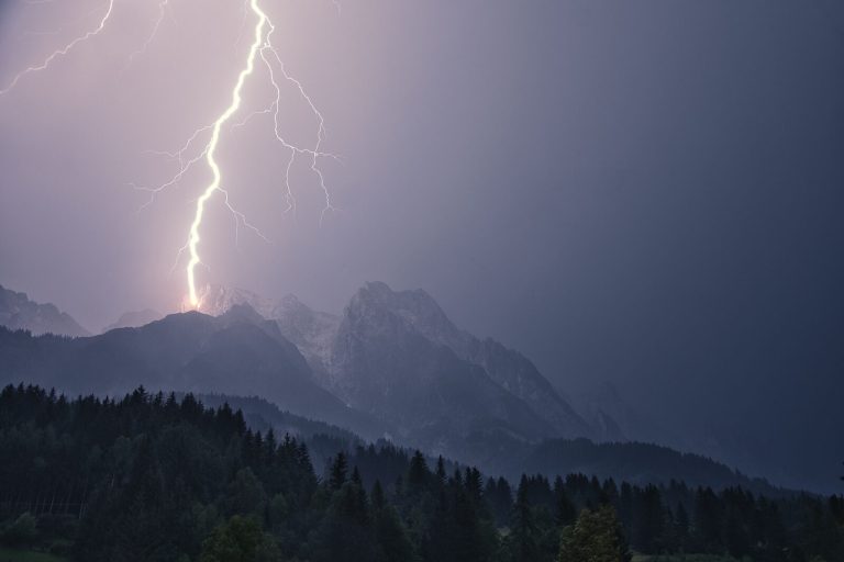
If it is electrical, act on the lightning rules, not on general weather sense. Our lightning safety guide covers where to go, the 30/30 rule, and why the crouch that many people were taught was withdrawn in 2008 and is no longer recommended.
Consider stopping. Pitching a shelter, or getting into an emergency bivvy with insulation underneath you, is often better than pushing on into deteriorating conditions with a tired party. Sitting out a violent few hours is frequently the correct call, and it is much easier if you carried the means to do it. See emergency shelter.
The wet, wind, and cold trap
The most under-rated backcountry weather danger is not a storm. It is a cool, wet, windy day in summer.
You do not need freezing temperatures
Hypothermia happens readily at temperatures well above freezing when the combination is wet clothing, wind, and a body that has stopped generating much heat. Around 40 to 50°F (4 to 10°C) with rain and wind is a classic hypothermia setup, and it catches people out precisely because the number does not sound dangerous. The compounding factors are exhaustion, not eating, dehydration, and being stationary because of an injury or a navigational problem. Learn the early signs, which are clumsiness, stumbling, slurred speech, poor decisions and irritability, long before violent shivering. Our hypothermia guide covers recognition and field rewarming in full.
The defence is unglamorous and completely reliable. Keep an insulating layer and a shell dry in a waterproof bag, and treat them as untouchable until needed. Change out of a wet base layer rather than hoping it dries on you. Eat, because a body without fuel cannot make heat. Put a layer on the moment you stop moving rather than once you are cold, and get insulation between you and the ground if you are sitting down. Watch the quietest member of the party, because people rarely announce that they are getting cold and stupid.
Seasons and environments
Summer. Convective afternoon storms are the dominant pattern in mountain country, so start early and be down early. Heat is its own hazard on exposed low ground; see hiking in the heat. Storms can also drop temperatures shockingly fast, so the insulation still goes in the pack.
Shoulder seasons. Spring and autumn are the most underestimated, because conditions swing between summer and winter within a single day and people pack for the season on the calendar rather than the one on the mountain. Freezing levels move up and down through your route, wet snow and verglas appear, and daylight is shorter than instinct suggests. This is when most people get caught out.
Winter. Short daylight is the hard constraint and it needs planning backwards from dusk. Wind chill and windslab both matter, storms last longer, and any stop is expensive. Read the avalanche forecast whether or not you intend to be on avalanche terrain.
Desert. Enormous swings between day and night, plus the specific danger of flash flooding from rain falling far away on ground you cannot see. Never camp or linger in a wash when there is any convective weather in the region.
Coastal and maritime ranges. Fast-changing, wet, and frequently in cloud, with weather arriving with little warning off the water. Expect the forecast to be less reliable and pack as if it is.
Common mistakes
- Reading the valley forecast. Your day is colder, windier and wetter than the town at the trailhead.
- Checking once. Look at the trend across several days and again on the morning you leave.
- Reading only the rain line. Wind, freezing level, cloud base and timing decide the day.
- Starting late in summer. Afternoon storms are close to a scheduled event in mountain country.
- No bail-out plan. Escape routes are worth deciding when you are warm and dry.
- Putting the shell on after getting wet. The layer works far better before you are soaked.
- Treating a mild wet day as harmless. Wet, windy and 45°F (7°C) is a hypothermia setup.
- Waiting for certainty. The evidence never gets conclusive, and your judgment degrades as conditions worsen.
What to carry
- A rain shell that actually works, such as the Marmot PreCip Eco, kept accessible rather than at the bottom of the pack.
- An insulating layer kept dry in a waterproof bag, and not worn until you need it.
- An emergency shelter. An S.O.L. Emergency Bivvy weighs a few ounces and turns a forced stop into an inconvenience.
- Map and compass, because the first thing weather takes is visibility.
- A headlamp, since weather delays turn into darkness more often than anything else.
- A way to start a fire in wet conditions.
- A satellite messenger on remote trips, for updated forecasts as much as for emergencies.
Plan your trip with our Trip Planner
Key takeaways
Weather is the thing that makes every other hazard harder, so treat it as the frame around your day rather than a separate risk. Mountains make their own weather: air forced upward cools and rains, and temperature falls about 3.5°F per 1,000 feet (2°C per 300 m), so a summit 5,000 feet (1,500 m) up is roughly 18°F (10°C) colder than the car before any wind. Read a mountain or point forecast rather than the valley town’s, look at the trend across several days, and pay more attention to wind, freezing level, cloud base and timing than to the chance of rain. Plan around the daily cycle: mornings are calm and clear, afternoons build storms, so start early and be off exposed ground by early afternoon. Decide your bail-outs and your go, change, and no-go conditions before you leave, and tie reassessment to named places rather than vague intentions. If it turns, get lower, get the shell on before you are wet, navigate deliberately, and be willing to stop. And remember that the most dangerous weather is often the least dramatic: wet, windy and 45°F (7°C) is how people get hypothermic in summer.
Lapse rates, frontal behaviour and the diurnal mountain cycle follow standard meteorology; lightning practice follows current National Weather Service guidance, which withdrew the lightning crouch in 2008. Cloud identification is covered in depth in our companion guide to reading clouds.
Wilderness Experts is reader-supported. As an Amazon Associate we earn from qualifying purchases; when you buy through links on our site we may earn a commission at no extra cost to you. It never changes what we recommend.