

Theodore Roosevelt National Park
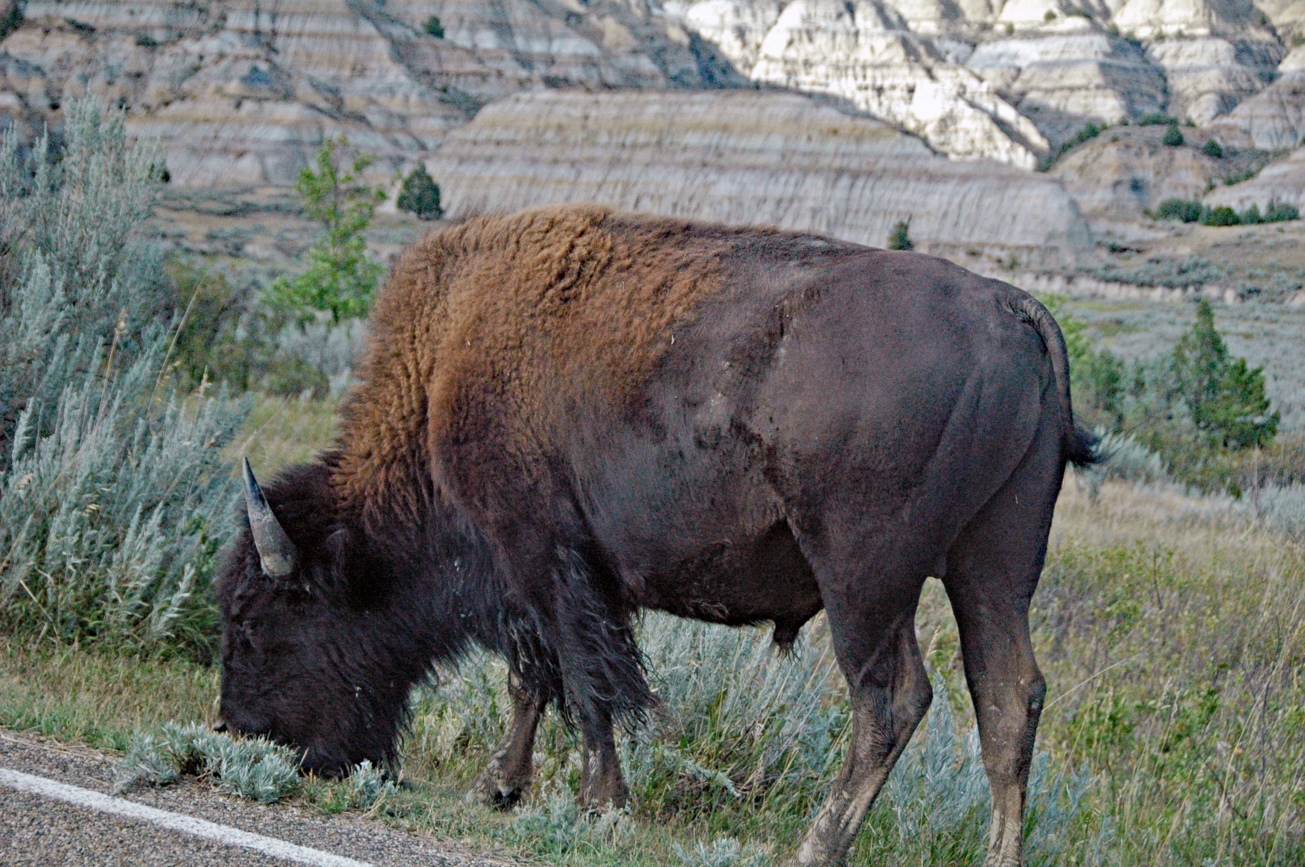
Theodore Roosevelt National Park preserves the rugged badlands of western North Dakota that shaped the conservation ethic of the president it honors, who ranched here in the 1880s. A striking landscape of banded buttes and coulees carved by the Little Missouri River, roamed by bison, wild horses and prairie dogs, it is the wild heart of the northern Great Plains.
Fast facts
- Established: 1947 (national park 1978)
- Size: about 70,400 acres (285 km²) in western North Dakota
- Units: the South Unit (Medora), the North Unit, and the remote Elkhorn Ranch
- Wildlife: bison, wild horses, elk, prairie dogs and bighorn sheep
- Gateway: Medora, North Dakota
- Managed by: National Park Service
The landscape
The Little Missouri River has carved the plains into colorful badlands, layered buttes, canyons and coulees streaked with bentonite clay and lignite coal, sometimes smoldering underground. Mixed-grass prairie spreads between the formations, supporting free-roaming bison and one of the park’s signature draws, its wild horses, along with elk, prairie dogs and bighorn sheep.
Best time to go
Late spring through early fall is the prime season, with green prairie and active wildlife; fall adds golden cottonwoods along the river. Summer is hot with afternoon thunderstorms, so hike early. Winter is cold, snowy and quiet, with the scenic drives sometimes closed but the badlands starkly beautiful under snow.
Getting there and around
The park’s two main units lie about 70 miles (110 km) apart in western North Dakota, the South Unit at Medora just off I-94, and the quieter North Unit off US-85. Each has a scenic drive, so a vehicle is essential; the remote Elkhorn Ranch site requires a longer, unpaved drive.
Things to do
Drive the scenic loops for badlands overlooks and wildlife, bison, wild horses and prairie-dog towns are easily seen, and hike trails from short overlook walks to longer badlands routes. Watch the Little Missouri wind through the canyons, camp under dark prairie skies, and visit Medora for the park’s history and Roosevelt’s story.
Staying safe
Give bison a very wide berth (they are fast and dangerous), and watch for rattlesnakes in the grass and rocks. Summer heat and lightning demand early starts and plenty of water (there is none on the trails), and the bentonite clay turns dangerously slick when wet, so avoid it in rain.
Know before you go
A park pass is required, and backcountry camping needs a free permit. Check whether the scenic drives are fully open, as sections can close. This page is a general overview, not a live conditions report; always confirm current conditions and closures with the National Park Service before your trip.
- Coordinates
- 47.2599, -103.4369
- Magnetic declination
- 7.2° E (2026)
Set this declination on your compass, then align it to the map's north lines; it is the angle between true north and magnetic north, refreshed each year.
A spread of the park’s main places shows straight away, and the rest appear as you zoom in. You can also search above, or pick any place from the lists below, and the map will go to it.
Getting there 2
Park entrances
On the trail 3
Campgrounds
Sights 12
Viewpoints
Peaks
Map data comes from third-party sources and may be incomplete or out of date, so carry a current official map (terms).
- Best seasons
- Late spring, Summer, Early fall
- Difficulty
- Easy to moderate
- Access / trailheads
- In western North Dakota; the South Unit is off I-94 at Medora, the North Unit off US-85. The two units are about 70 miles (110 km) apart.
- Water
- Carry all your water; trail water is unavailable, and the Little Missouri is silty.
- Cell / satellite coverage
- Patchy cell service. Carry a map and share your plans.
- Nearest ranger / SAR / emergency
- Contact park rangers; life-threatening emergencies: 911.
- Permits & regulations
- Per-vehicle entry fee (America the Beautiful pass accepted); backcountry camping requires a free permit. The park has two main units plus a remote third.
- Leave No Trace
- Keep well back from bison, stay off wet clay, pack out all waste, and follow Leave No Trace.
January
- Below freezing all day
February
- Below freezing all day
March
- Below-freezing nights
April
- Below-freezing nights
May
June
July
- Day-to-night swing of 30°F (17°C)
August
- Day-to-night swing of 32°F (18°C)
September This month
- Day-to-night swing of 31°F (17°C)
October
- Below-freezing nights
November
- Below-freezing nights
December
- Below freezing all day
What to bring depends on your trip: how long you’re out, where you sleep, and how far you go from the road. The planner builds the list for yours.
Plan a trip here →Averages for 1991–2020 from NOAA U.S. Climate Normals, measured at the Medora station, 35 miles (57 km) away at 2,268 feet (691 m).