

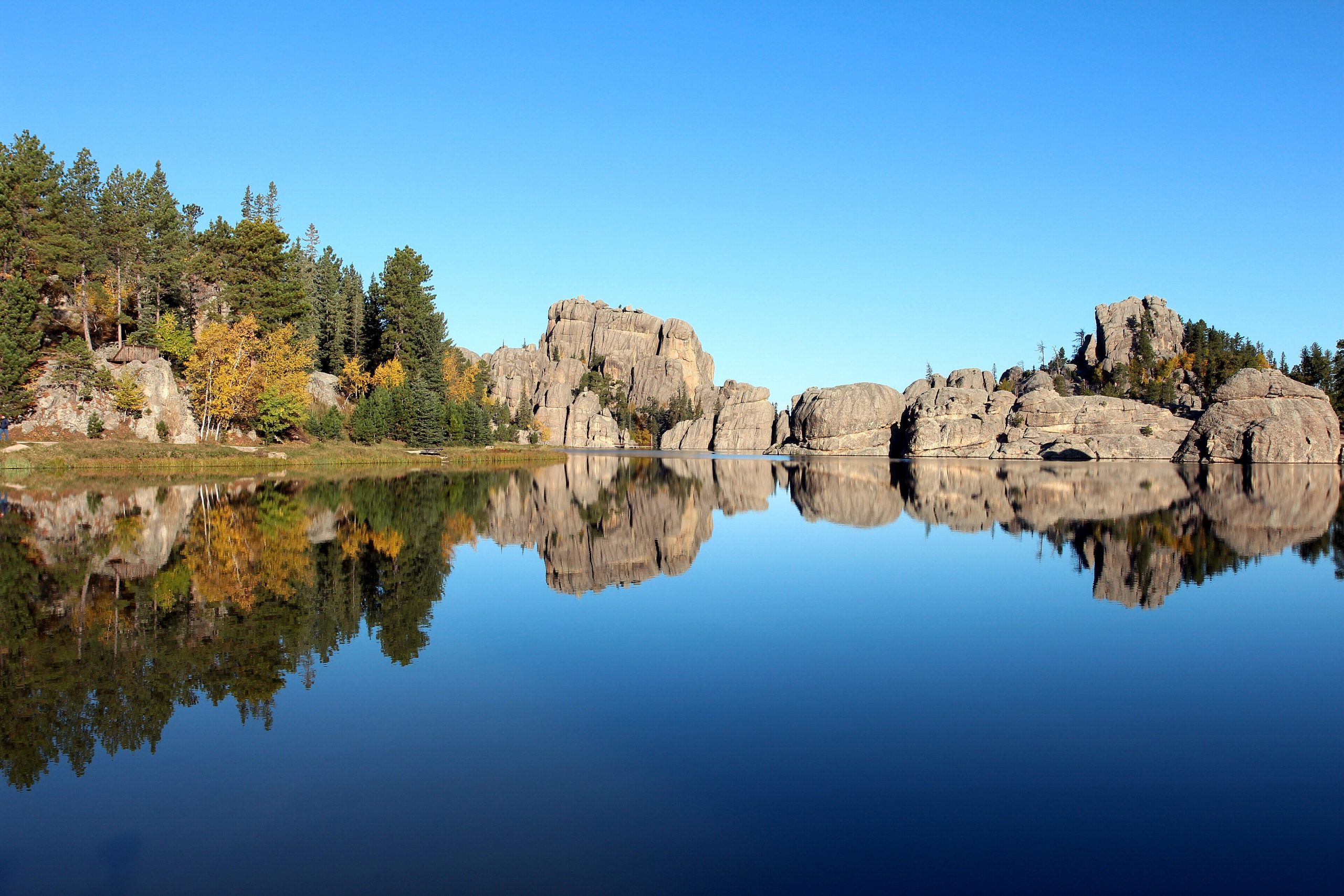
Custer State Park
Fast facts
- Size: about 71,000 acres (287 km²) in the southern Black Hills
- Wildlife: one of the largest public bison herds in the country, rounded up each fall
- Next door: the Black Elk Wilderness and Black Elk Peak, about 7,240 feet (2,207 m), in Black Hills National Forest
- Gateway: Rapid City, about an hour north; the town of Custer is just west
- Managed by: South Dakota Game, Fish and Parks
The landscape
Custer State Park spans the granite core of the Black Hills and the rolling grassland on their southern edge. In the north, the Needles are weathered spires of granite rising above ponderosa pine; Sylvan Lake sits among them. To the south and east, open prairie and valleys hold the park’s bison, pronghorn, elk, deer and prairie dogs, along with the famous begging burros. French Creek cuts a quiet canyon through the middle of the park.
Best time to go
Late spring brings bison calves and green grass, and summer is the busy season, with warm days and frequent afternoon thunderstorms. September is often the best time to hike, with cooler weather, and the Buffalo Roundup takes place in late September. The Needles Highway and some roads close in winter, but the park stays open year-round.
Getting there and around
From Rapid City, drive south through the Black Hills to reach the park, which is also close to Mount Rushmore and Wind Cave National Park. The Needles Highway, Iron Mountain Road and the Wildlife Loop Road are narrow, winding scenic drives, with tight tunnels on the Needles Highway that limit larger vehicles. Trailheads start from Sylvan Lake, Legion Lake and along French Creek.
Things to do
Drive the Wildlife Loop Road for bison and pronghorn, and the Needles Highway for granite spires. From Sylvan Lake, the most popular trail climbs to Black Elk Peak through the neighboring wilderness. The Centennial Trail crosses the park on its way through the Black Hills, and the French Creek Natural Area offers backcountry camping along the creek. Climbers come for the Needles, and the lakes offer swimming, fishing and paddling.
Staying safe
Bison are fast, unpredictable and dangerous. Stay at least 100 yards (91 m) away, and stay in your vehicle when they are near the road. Summer thunderstorms bring lightning to the exposed granite summits, so start early and be off high points by afternoon. Carry plenty of water on hot days, watch for rattlesnakes in rocky areas, and take care near cliff edges. Leave a trip plan for longer hikes.
Know before you go
Every vehicle in the park needs an entrance license, and campgrounds and lodges book up in summer. Road closures, tunnel size limits and fire restrictions vary by season. This page is a general overview, not a live conditions report, so confirm current conditions, closures and permits with South Dakota Game, Fish and Parks before you go.
- Coordinates
- 43.7418, -103.4579
- Magnetic declination
- 7.0° E (2026)
Set this declination on your compass, then align it to the map's north lines; it is the angle between true north and magnetic north, refreshed each year.
How declination works, and how to navigate with a map and compass
A spread of the park’s main places shows straight away, and the rest appear as you zoom in. You can also search above, or pick any place from the lists below, and the map will go to it. Places in bold, marked , have a short description.
Getting there 4
Park entrance
Airstrip
Ranger stations
On the trail 18
Trailhead
Routes
Campgrounds
Hut or shelter
Sights 17
Viewpoints
Lakes
Beach
Heritage sites
Peaks
Map data comes from third-party sources and may be incomplete or out of date, so carry a current official map (terms).
Looking for one of these closer to home?Destinations near me by trip type →
- Best seasons
- Late spring, Summer, Early fall
- Difficulty
- Easy to moderate
- Access / trailheads
- In the southern Black Hills, about an hour south of Rapid City. US 16A, the Needles Highway (SD 87) and the Wildlife Loop Road link the park's lodges, lakes and trailheads.
- Water
- Available at developed areas; treat any water from streams.
- Cell / satellite coverage
- Fair near the main roads and lodges, patchy on trails and in the canyons.
- Nearest ranger / SAR / emergency
- Emergencies: 911. Park office: 605-394-2693.
- Permits & regulations
- A park entrance license is required for every vehicle (daily passes cover one to seven days; annual passes available). Vehicles driving straight through on US Highway 16A do not need one. Camping is by reservation.
- Leave No Trace
- Keep at least 100 yards (91 m) from bison and elk, never feed wildlife, stay on trails, and pack out all waste.
January
- Below-freezing nights
February
- Below-freezing nights
March
- Below-freezing nights
April
- Below-freezing nights
May
June
July
August
September
October This month
November
- Below-freezing nights
December
- Below-freezing nights
What to bring depends on your trip: how long you’re out, where you sleep, and how far you go from the road. The planner builds the list for yours.
Plan a trip here →Averages for 1991–2020 from NOAA U.S. Climate Normals, measured at the Custer station, 7 miles (11 km)11 km (7 miles) away at 5,480 feet (1,670 m)1,670 m (5,480 feet). Higher trails run colder, by about 3.5°F for every 1,000 ft (2°C per 300 m)2°C for every 300 m (3.5°F per 1,000 ft) of climb. Daylight runs from sunrise to sunset on the 15th, on the park’s own clock, for a level horizon. Valleys and slopes facing away from the sun are in shade earlier.
Nearby parks
-
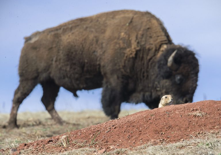 Wind Cave National Park
One of the world's longest caves, famous for its boxwork, beneath prairie and pine in the Black Hills, with bison and prairie dogs above.
-
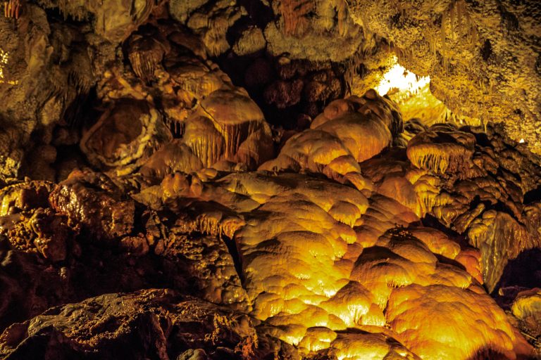 Jewel Cave National Monument
One of the world’s longest caves, crusted with calcite crystals, beneath the Black Hills of South Dakota.
-
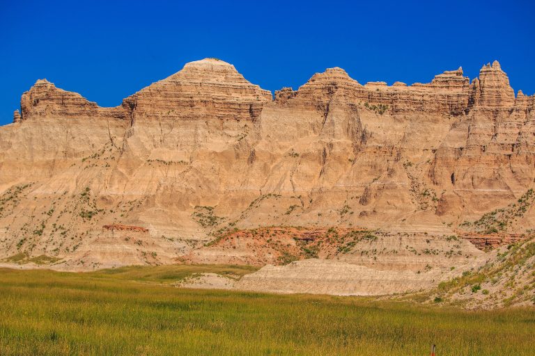 Badlands National Park
Eroded buttes, pinnacles and mixed-grass prairie in South Dakota, with bison, bighorn sheep and open backcountry.
-
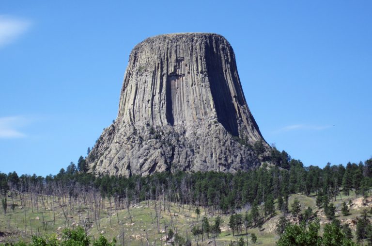 Devils Tower National Monument
The first national monument: an 867-foot (264 m) column of volcanic rock in Wyoming, with a paved loop around its base and world-class crack climbing.
Straight-line distance between park centres. Road distance is usually longer.
Looking for somewhere closer to home?
See every park and monument within a day’s drive of where you are.