

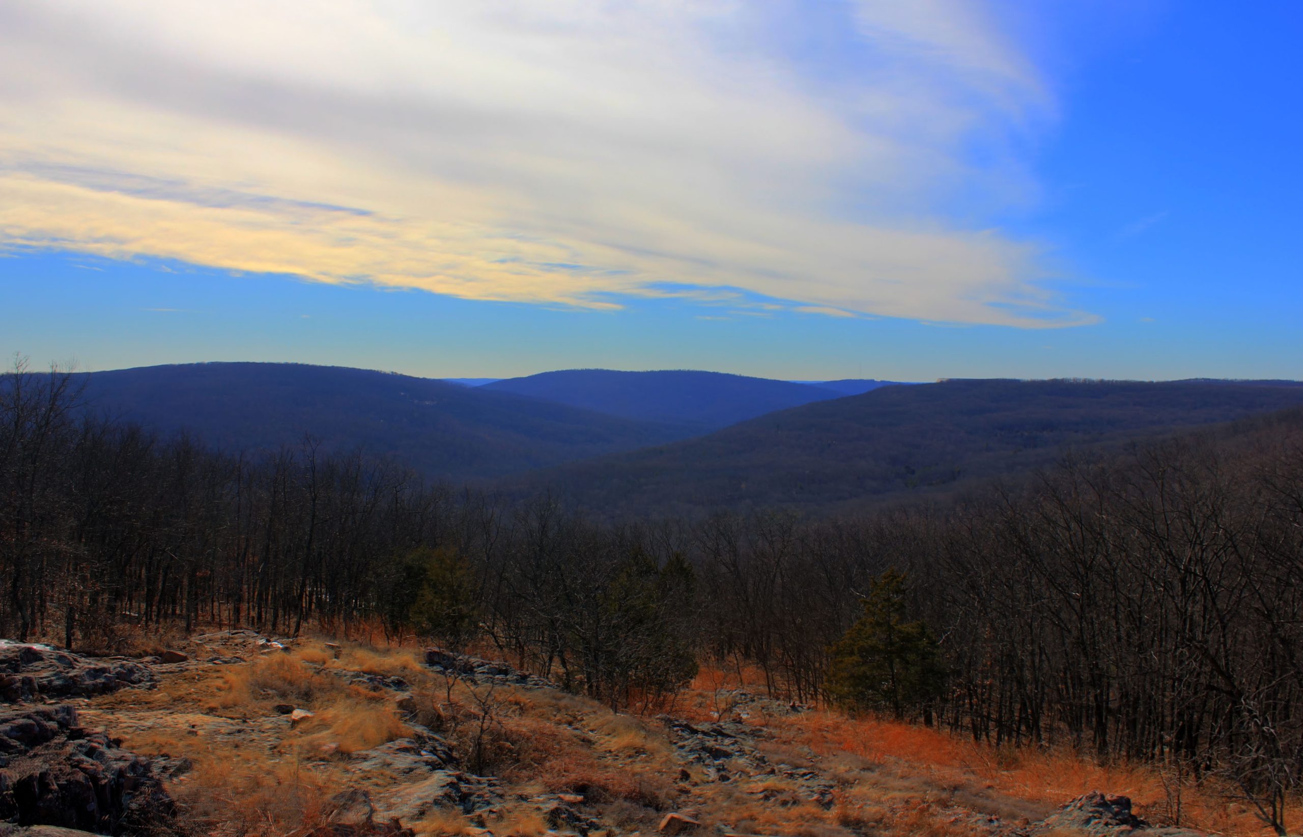
Taum Sauk Mountain State Park
Fast facts
- Size: about 7,500 acres (30 km²)
- Highest point: Taum Sauk Mountain, about 1,772 feet (540 m), the highest point in Missouri
- Waterfall: Mina Sauk Falls, the tallest waterfall in Missouri
- Trail link: the Ozark Trail, including the rugged Taum Sauk section
- Gateway: Ironton and Arcadia
- Managed by: Missouri State Parks
The landscape
Taum Sauk Mountain rises in the St. Francois Mountains, among the oldest exposed rock in North America. Forested hills give way to open rocky glades with wildflowers and wide views. Mina Sauk Falls cascades down volcanic rock in wet seasons. Deer, wild turkeys and many birds live here.
Best time to go
Spring brings the best flow at Mina Sauk Falls and glade wildflowers. Fall colour peaks in late October. Winter is quiet and clear. Summer is hot and humid, and the falls may slow to a trickle.
Getting there and around
The park is reached from Highway 21 near Ironton, with a road to the summit, campground and trailheads. The Ozark Trail runs through the park toward Johnson’s Shut-Ins State Park.
Things to do
A short paved path leads to the state’s high point, and the Mina Sauk Falls loop descends to the waterfall over rocky terrain. Backpackers tackle the Taum Sauk section of the Ozark Trail, one of the most rugged stretches in the state, with backcountry camping by registration.
Staying safe
Trails below the summit are rocky and steep, and rock near the falls is slick. Carry plenty of water, since sources are limited. Check for ticks and chiggers and watch for venomous snakes. Register for backcountry camping and leave a trip plan.
Know before you go
This page is a general overview, not a live conditions report, so confirm current conditions and registration with Missouri State Parks before you go.
- Coordinates
- 37.5379, -90.7724
- Magnetic declination
- 1.6° W (2026)
Set this declination on your compass, then align it to the map's north lines; it is the angle between true north and magnetic north, refreshed each year.
How declination works, and how to navigate with a map and compass
A spread of the park’s main places shows straight away, and the rest appear as you zoom in. You can also search above, or pick any place from the lists below, and the map will go to it. Places in bold, marked , have a short description.
On the trail 5
Trailheads
Campgrounds
Sights 9
Waterfalls
Point of interest
Peaks
Map data comes from third-party sources and may be incomplete or out of date, so carry a current official map (terms).
Looking for one of these closer to home?Destinations near me by trip type →
- Best seasons
- Spring, Fall (foliage), Winter
- Difficulty
- Easy to strenuous
- Access / trailheads
- Off Highway 21 near Ironton, in the St. Francois Mountains, about 2 hours south of St. Louis.
- Water
- Limited; treat all stream water and carry plenty.
- Cell / satellite coverage
- Patchy in the hollows.
- Nearest ranger / SAR / emergency
- Emergencies: 911. Park office: 573-546-2450.
- Permits & regulations
- Register online before backcountry camping. The basic campground is reserved through Missouri State Parks.
- Leave No Trace
- Register before backcountry camping, stay on the trail across fragile glades, and pack out all waste.
January
- Below-freezing nights
February
- Below-freezing nights
March
April
May
June
July
August
September
October This month
November
December
- Below-freezing nights
What to bring depends on your trip: how long you’re out, where you sleep, and how far you go from the road. The planner builds the list for yours.
Plan a trip here →Averages for 1991–2020 from NOAA U.S. Climate Normals, measured at the Potosi station, 25 miles (40 km)40 km (25 miles) away at 1,175 feet (358 m)358 m (1,175 feet). Higher trails run colder, by about 3.5°F for every 1,000 ft (2°C per 300 m)2°C for every 300 m (3.5°F per 1,000 ft) of climb. Daylight runs from sunrise to sunset on the 15th, on the park’s own clock, for a level horizon. Valleys and slopes facing away from the sun are in shade earlier.
Nearby parks
-
 Gateway Arch National Park
The 630-foot (192 m) Gateway Arch on the St. Louis riverfront, with a tram to the top and a museum of westward expansion below.
-
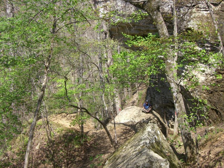 Devil’s Den State Park
A CCC-built park in an Ozark valley, with crevices, bluffs and the Butterfield backpacking loop into the national forest.
-
 Hot Springs National Park
Historic Bathhouse Row and 47 thermal springs in the Ouachita Mountains of Arkansas, with forested ridge trails right above town.
-
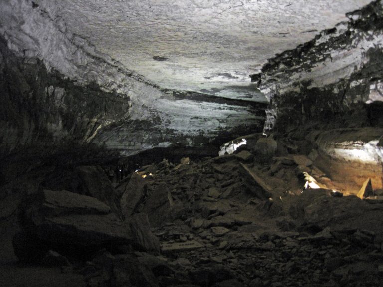 Mammoth Cave National Park
The longest known cave system on Earth, more than 400 miles (640 km) mapped, under Kentucky's forested hills.
Straight-line distance between park centres. Road distance is usually longer.
Looking for somewhere closer to home?
See every park and monument within a day’s drive of where you are.