

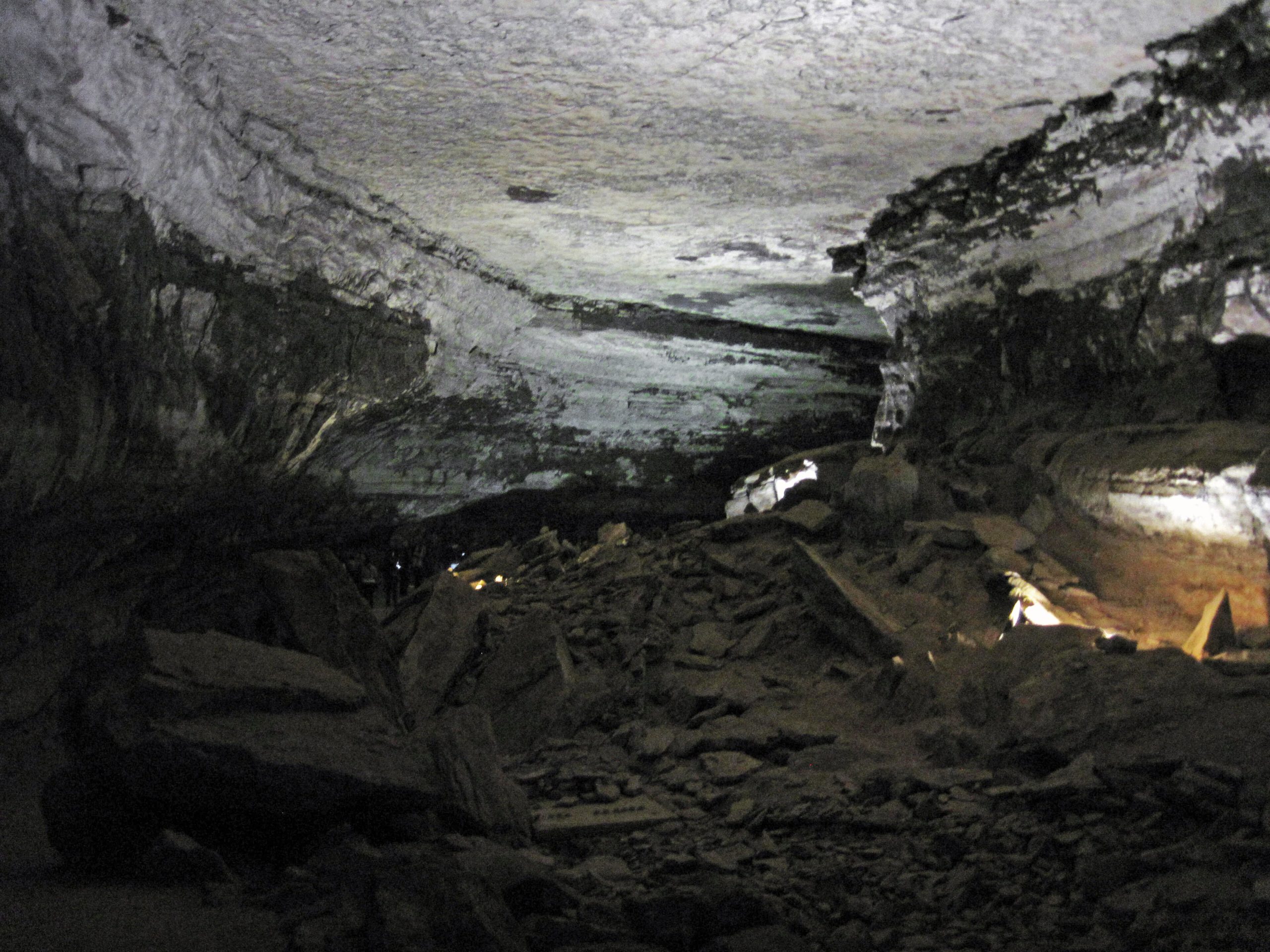
Mammoth Cave National Park
Mammoth Cave protects the longest known cave system on Earth, more than 400 mapped miles of passages winding beneath the green hills of central Kentucky, with more still being discovered. Above ground, a quiet landscape of hardwood forest, sinkholes and the Green River rounds out a park that is really two worlds: a vast subterranean labyrinth and a peaceful river-valley wilderness.
Fast facts
- Established: 1941
- Size: about 52,800 acres (214 km²) above a cave system of 400+ mapped miles
- Distinction: the longest known cave system in the world
- Recognition: a UNESCO World Heritage Site and International Biosphere Reserve
- Gateways: Cave City and Park City, Kentucky, off I-65
- Managed by: National Park Service
The landscape
The park sits on karst, soluble limestone dissolved over millions of years into a honeycomb of passages, chambers, pits and underground rivers. Above, the surface is rolling eastern hardwood forest pocked with sinkholes and springs, drained by the Green and Nolin rivers. The cave shelters unique life, including eyeless fish and crayfish, while the forest holds deer, turkeys and a rich diversity of bats.
Best time to go
Spring through fall is the busiest and best time for the full slate of cave tours and surface activities, with fall color a highlight above ground. The cave itself stays a cool, steady temperature year-round, so it is comfortable in any season, even a hot, humid Kentucky summer day, making it a fine cool retreat. Tours run year-round on a reduced winter schedule.
Getting there and around
The park lies off I-65 between Louisville and Nashville, with the visitor center and cave-tour entrances on the park road near Cave City and Park City. A vehicle is the practical way to arrive and to reach the surface trailheads, campgrounds and river access; the cave itself is entered only on ranger-guided tours from the visitor center.
Things to do
Ranger-guided cave tours are the heart of a visit, ranging from easy walks past the Historic Entrance to strenuous, hours-long routes and challenging introductory caving trips. Above ground, hike or bike the forest trails, paddle the Green and Nolin rivers, camp in the developed or backcountry sites, and watch for wildlife in the quiet river valley.
Staying safe
Cave tours involve uneven footing, many stairs, low passages, darkness and cool, damp air, so wear sturdy shoes, bring a light layer, and choose a tour matched to your fitness and comfort in tight or dark spaces. Surfaces underground can be slippery. Above ground, watch for ticks, carry water in the summer heat, and respect river currents when paddling.
Know before you go
There is no general entrance fee, but cave tours are ticketed, required to enter the cave, and sell out in summer. Reserve ahead. Backcountry camping needs a free permit. This page is a general overview, not a live conditions report; always confirm current tour availability, conditions and closures with the National Park Service before your trip.
- Coordinates
- 37.1841, -86.1458
- Magnetic declination
- 4.8° W (2026)
Set this declination on your compass, then align it to the map's north lines; it is the angle between true north and magnetic north, refreshed each year.
A spread of the park’s main places shows straight away, and the rest appear as you zoom in. You can also search above, or pick any place from the lists below, and the map will go to it.
Getting there 1
Park entrance
On the trail 13
Trailhead
Campgrounds
Hut or shelters
Sights 27
Viewpoints
Point of interests
Islands
Peaks
Map data comes from third-party sources and may be incomplete or out of date, so carry a current official map (terms).
- Best seasons
- Spring, Summer, Fall
- Difficulty
- Easy to strenuous
- Access / trailheads
- In central Kentucky off I-65 between Louisville and Nashville; the visitor center and cave-tour entrances are on the park road near Cave City and Park City.
- Water
- Water at the visitor center and developed areas; carry water on surface trails.
- Cell / satellite coverage
- Patchy cell service, and none underground, follow ranger instructions on tours.
- Nearest ranger / SAR / emergency
- Contact park rangers; life-threatening emergencies: 911.
- Permits & regulations
- No general entrance fee; cave tours are ticketed and required to enter the cave, and they sell out in summer. Backcountry camping needs a free permit.
- Leave No Trace
- Do not touch cave formations, stay on trails and tour routes, pack out all waste, and follow Leave No Trace.
January
- Below-freezing nights
February
- Below-freezing nights
March
April
May
June
July
- Hot days
August
- Hot days
September This month
October
November
December
What to bring depends on your trip: how long you’re out, where you sleep, and how far you go from the road. The planner builds the list for yours.
Plan a trip here →Averages for 1991–2020 from NOAA U.S. Climate Normals, measured at the Mammoth Cave station, 5 miles (8 km) away at 760 feet (232 m).