

Starved Rock State Park
Fast facts
- Size: about 2,630 acres (10.6 km²) along the south bank of the Illinois River
- Canyons: 18, cut into St. Peter Sandstone
- The Rock: a sandstone butte 125 feet (38 m) high above the river
- Trails: 13 miles (21 km), open 7 a.m. to sunset all year
- Camping: one campground reached by car; no backcountry camping
- Established: 1911, the second state park in Illinois
- Managed by: Illinois Department of Natural Resources
The landscape
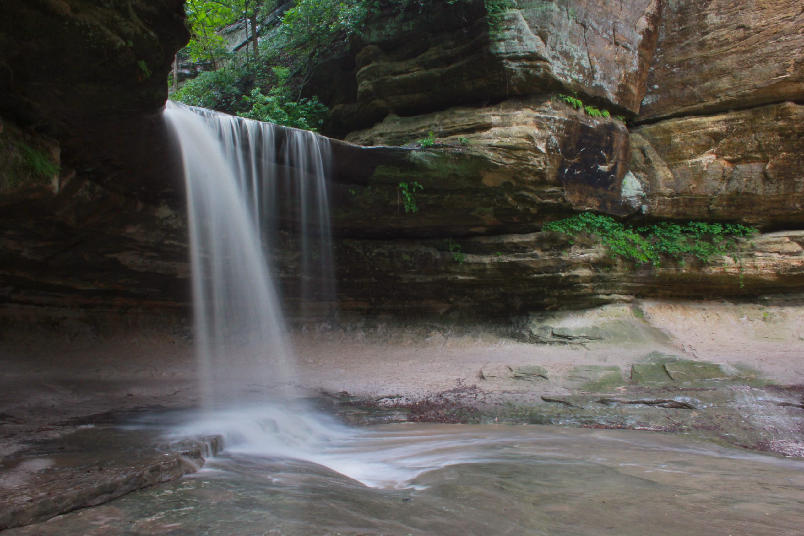
Starved Rock is a surprise in the flat farm country of northern Illinois. Along about 5 miles (8 km) of the Illinois River’s south bank, a fold in the bedrock brings St. Peter Sandstone to the surface, and meltwater from the last glaciers, more than 14,000 years ago, cut it into bluffs and 18 narrow canyons with vertical, moss-covered walls. After rain or snowmelt a waterfall drops into the head of most canyons. Oak, maple and hickory cover the uplands, with white pine and white cedar on the cliffs.
The park is named for a butte beside the river. The French built Fort St. Louis on top of it in the winter of 1682 to 1683, across from a large village of the Kaskaskia. The name comes from a legend of a band of Illinois people besieged on the rock in the 1760s, a story that the state notes is not supported by historical or archaeological evidence. Descendants of the Illinois Confederation are today the Peoria Tribe of Oklahoma.
Best time to go
The waterfalls depend on rain. They run best in spring and after heavy storms, and the canyons are usually dry by the end of June, so check the recent weather for Utica before coming for the falls. Fall colour peaks in mid to late October and brings the largest crowds of the year. In winter the falls freeze into tall columns of ice, and bald eagles gather to fish in the open water below the Starved Rock Lock and Dam, best seen in January and February. Summer is hot, humid and busy. On fine weekends the parking lots fill by mid-morning.
Getting there and around
The main entrance is on Illinois Route 178 just south of the river, a mile (1.6 km) from the village of Utica and about 4 miles (6 km) from Interstate 80. The Visitor Center, the Rock, French Canyon and the trails to Wildcat Canyon are all reached from the main parking lot, and the Lodge has its own lot on the bluff above. The eastern canyons, including LaSalle, Ottawa, Kaskaskia and Illinois, have small parking areas along Illinois Route 71. Trails are marked by colour and signed at every junction, with maps posted throughout.
Things to do
Short walks from the Visitor Center cover the best-known sights. The climb to the top of Starved Rock is 0.6 miles (1 km) round trip, with views of the river and the dam. French Canyon is 0.8 miles (1.3 km) round trip, and Wildcat Canyon, with the park’s tallest waterfall, is 2 miles (3.2 km). Aurora and St. Louis canyons to the west make a hike of about 3 miles (4.8 km). Every overlook is reached by 50 to 150 steps. The Illinois Canyon trail at the east end is the only one without stairs, although it crosses a creek.
Hikers who want a full day can follow the river and bluff trails east from the Visitor Center past Lover’s Leap and Eagle Cliff to LaSalle and Tonti canyons and on toward Illinois Canyon. Away from the trails there is fishing and boating on the Illinois River from the park’s boat ramp, picnic grounds, and guided hikes and programs run from the Visitor Center. The Starved Rock Lodge, built in the 1930s by the Civilian Conservation Corps, has rooms, cabins and a restaurant. Matthiessen State Park, with its own canyons, is a few minutes’ drive south.
Staying safe
Nearly every serious accident here is a fall. The bluffs and canyon rims drop straight down, the sandstone is soft and crumbles at the edge, and people who leave the trail for a photo or a shortcut are killed or badly hurt most years. Stay on the marked trails and boardwalks, keep children beside you, and do not climb the canyon walls, which is prohibited. The wooden and stone stairs are slippery when wet and icy in winter, when traction devices are worth carrying.
Swimming, wading and sliding are not allowed in the river, the creeks or the waterfall pools. Hiking after dark is prohibited, so leave time to get back before sunset. Carry water, since there is none on the trails, and do not let dogs drink from the creeks or the river. Check for ticks and learn to recognise poison ivy. If someone is hurt, call 911 and give the location from the nearest red QR code sign.
Know before you go
Dogs are welcome on a leash. Bicycles, drones, alcohol on the trails and ground fires outside the campground are not allowed. In late fall and early winter the campground and some outlying areas close for a few days at a time during deer hunting seasons, while the main trails stay open. This page is a general overview, not a live conditions report, so check for trail closures, construction and hunting dates with the Illinois DNR before you go.
- Coordinates
- 41.3126, -88.9996
- Magnetic declination
- 3.1° W (2026)
Set this declination on your compass, then align it to the map's north lines; it is the angle between true north and magnetic north, refreshed each year.
How declination works, and how to navigate with a map and compass
A spread of the park’s main places shows straight away, and the rest appear as you zoom in. You can also search above, or pick any place from the lists below, and the map will go to it. Places in bold, marked , have a short description.
Getting there 1
Visitor centre
On the trail 2
Trailhead
Campground
Sights 31
Viewpoints
Waterfalls
Point of interest
Peak
Map data comes from third-party sources and may be incomplete or out of date, so carry a current official map (terms).
Looking for one of these closer to home?Destinations near me by trip type →
- Best seasons
- Spring (waterfalls), Fall (colour), Winter (ice falls and eagles), Summer
- Difficulty
- Easy to moderate
- Access / trailheads
- About 95 miles (150 km) southwest of Chicago. From Interstate 80 take exit 81 and follow Illinois Route 178 south through Utica and across the Illinois River to the park. Illinois Route 71 runs along the park's south side to the eastern canyons.
- Water
- Drinking water and flush toilets at the Visitor Center and the Lodge. There are no water fountains on the trails, so carry water for yourself and your dog.
- Cell / satellite coverage
- Usable near the Visitor Center and Lodge, weaker down in the canyons. Red QR codes at trail maps and junctions give your location to pass to 911.
- Nearest ranger / SAR / emergency
- Emergencies: 911. Park office and Visitor Center: 815-667-4726.
- Permits & regulations
- No entry fee or hiking permit. Camping is allowed only in the park campground, which takes reservations. Groups of 20 or more need an activity permit in advance. Trails are open from 7 a.m. to sunset.
- Leave No Trace
- Stay on the marked trails, carry out everything you bring, keep dogs leashed, and do not climb on, carve or take anything from the sandstone.
January
- Below freezing all day
February
- Below-freezing nights
March
- Below-freezing nights
April
May
June
July
August
September
October This month
November
- Below-freezing nights
December
- Below-freezing nights
What to bring depends on your trip: how long you’re out, where you sleep, and how far you go from the road. The planner builds the list for yours.
Plan a trip here →Averages for 1991–2020 from NOAA U.S. Climate Normals, measured at the Ottawa station, 5 miles (8 km)8 km (5 miles) away at 545 feet (166 m)166 m (545 feet). Higher trails run colder, by about 3.5°F for every 1,000 ft (2°C per 300 m)2°C for every 300 m (3.5°F per 1,000 ft) of climb. Daylight runs from sunrise to sunset on the 15th, on the park’s own clock, for a level horizon. Valleys and slopes facing away from the sun are in shade earlier.
Nearby parks
-
 Indiana Dunes National Park
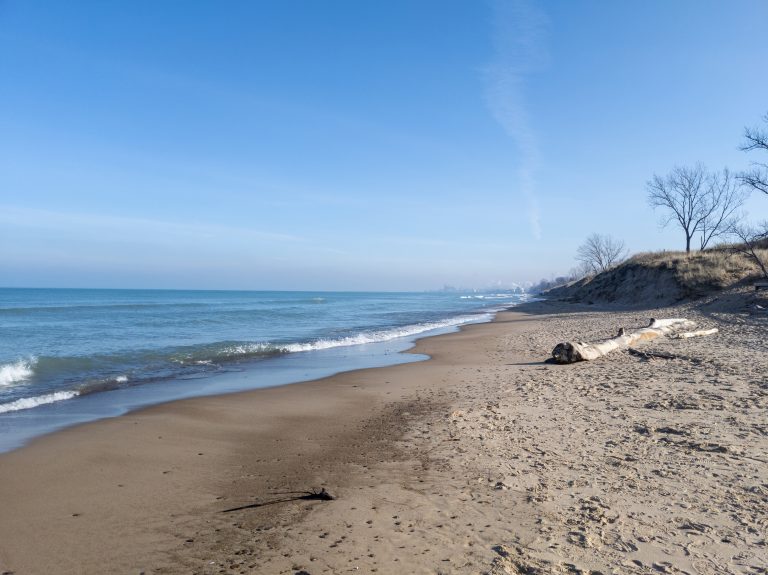
Fifteen miles (24 km) of Lake Michigan shore an hour from Chicago, with towering dunes and rich wetlands.
-
 Devil’s Lake State Park
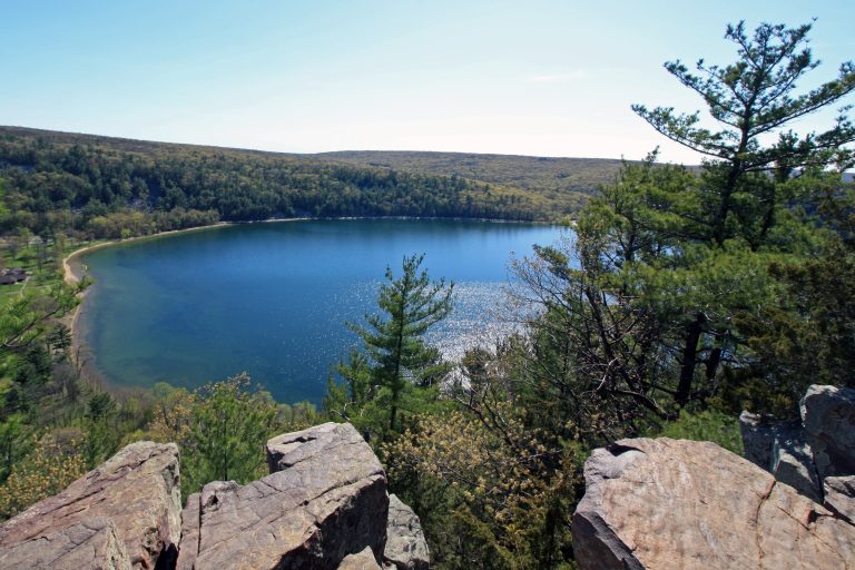
A 360-acre (146 ha) lake ringed by 500-foot (150 m) quartzite bluffs in the Baraboo Hills, Wisconsin's largest and most visited state park.
-
 Kettle Moraine State Forest
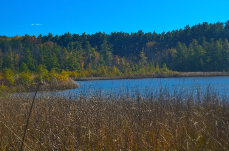
Glacial kames, kettles and eskers an hour from Milwaukee, with backpack shelters on the Ice Age National Scenic Trail.
-
 Gateway Arch National Park
The 630-foot (192 m) Gateway Arch on the St. Louis riverfront, with a tram to the top and a museum of westward expansion below.
Straight-line distance between park centres. Road distance is usually longer.
Looking for somewhere closer to home?
See every park and monument within a day’s drive of where you are.